- Garfield Avenue (HBLR station)
-
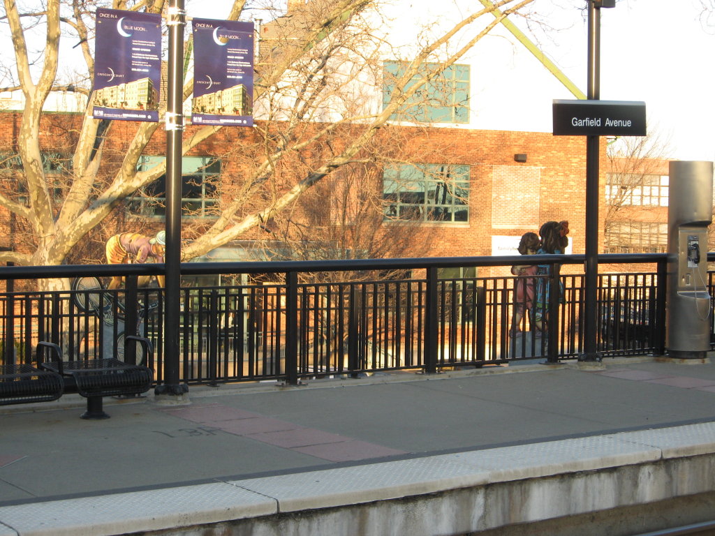
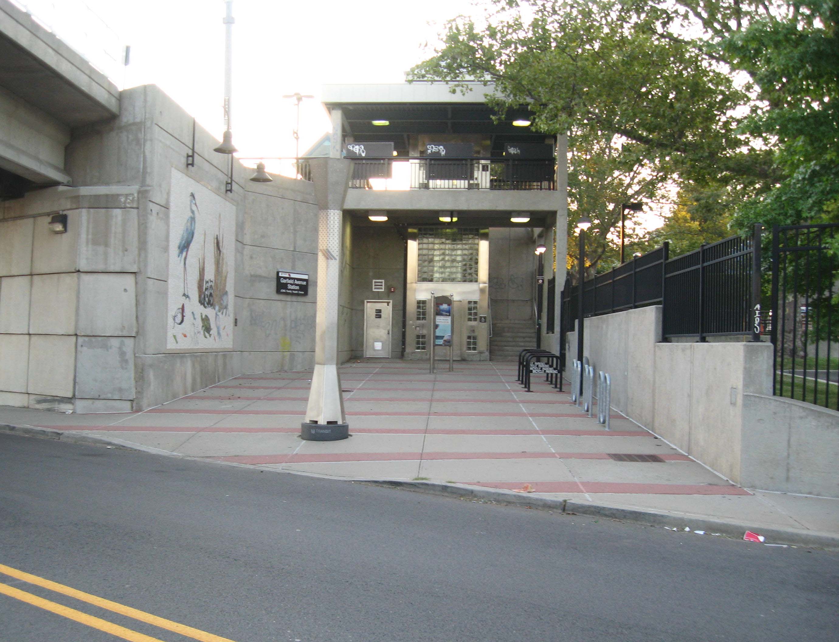
Garfield Avenue 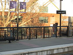
Station statistics Address Union Street and Carteret Avenue
Jersey City, NJCoordinates 40°42′38″N 74°04′16″W / 40.7105°N 74.0710°WCoordinates: 40°42′38″N 74°04′16″W / 40.7105°N 74.0710°W Lines Platforms 2 Tracks 2 Other information Opened April 22, 2000 Electrified 750VDC Accessible 
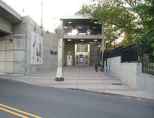
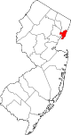
Owned by New Jersey Transit Fare zone 1 Services Preceding station Hudson–Bergen Light Rail Following station toward West Side AvenueWest Side–Tonnelle toward Tonnelle AvenueGarfield Avenue is a station on the Hudson-Bergen Light Rail (HBLR)[1] located at Union Street CR 610[2] in the Claremont Section of Jersey City, New Jersey.[3] The station opened on April 22, 2000. It is at the eastern end of railroad original cut originally excavated in Bergen Hill in 1869 for the Central Railroad of New Jersey Newark and New York Railroad Branch. Garfield Avenue, presumably named for assassinated president James A. Garfield, was once part of Bergen Point Plank Road, which itself had once been a major colonial post road. A decorative theme for the station is two dimensional "cut-outs" of adults ad children, some of whom are playing.[4]
Direct northbound service from the station is available to Tonnelle Avenue in North Bergen. Northbound service to Hoboken Terminal requires a transfer at stations between Liberty State Park and Pavonia-Newport. Southbound service is available towards West Side Avenue in Jersey City. Connection to PATH trains to Midtown Manhattan and to New Jersey Transit commuter train service are available at Hoboken Terminal. Transfers to PATH trains to Newark, Harrison, and Downtown Manhattan are available at Exchange Place. The Liberty State Park station is the transfer point for those traveling between stations on the West Side, Jersey City and Bayonne) branches.
Vicinity
- Bergen-Lafayette
- Bergen Hill
- Communipaw Junction
- St. Patrick's Parish and Buildings
References
- ^ Garfield Avenue Station details
- ^ "Hudson County 610 straight line diagram" (PDF). Hudson County Route 610. http://www.state.nj.us/transportation/refdata/sldiag/09000610__-.pdf. Retrieved 2009-08-18.
- ^ Hudson County New Jersey Street Map. Hagstrom Map Company, Inc. 2008. ISBN 0-8809-7763-9.
- ^ Garfield Avenue Station photos
External links
- NJT Hudson–Bergen Light Rail station information page for Garfield Avenue
- Hudson–Bergen Light Rail schedule
- Garfield Avenue entrance from Google Maps Street View
- Randolph Avenue entrance from Google Maps Street View
 Street
Municipalities and communities of Hudson County, New Jersey Cities Bayonne | Hoboken | Jersey City | Union City
Borough Towns Guttenberg | Harrison | Kearny | Secaucus | West New York
Townships Categories:- Hudson-Bergen Light Rail stations
- Transportation in Jersey City, New Jersey
- Railway stations opened in 2000
- Stations along Central Railroad of New Jersey lines

Wikimedia Foundation. 2010.