- National Register of Historic Places listings in Lee County, Alabama
-
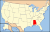
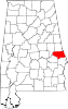
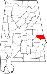 Location of Lee County in Alabama
This is a list of the National Register of Historic Places listings in Lee County, Alabama.
This is intended to be a complete list of the properties and districts on the National Register of Historic Places in Lee County, Alabama, United States. Latitude and longitude coordinates are provided for many National Register properties and districts; these locations may be seen together in a Google map.[1]
There are 25 properties and districts listed on the National Register in the county.
-
- This National Park Service list is complete through NPS recent listings posted November 10, 2011.[2]
Current listings
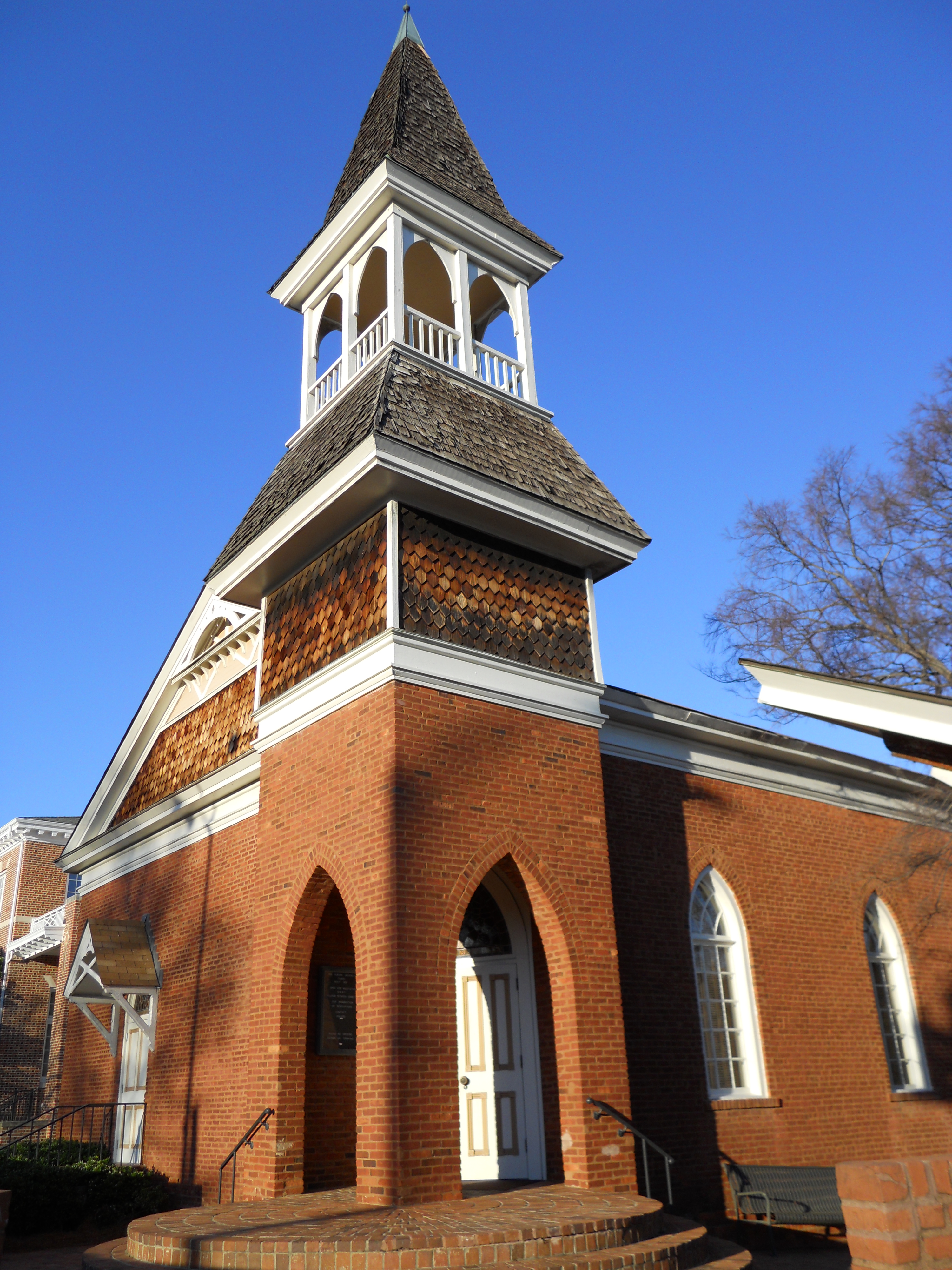
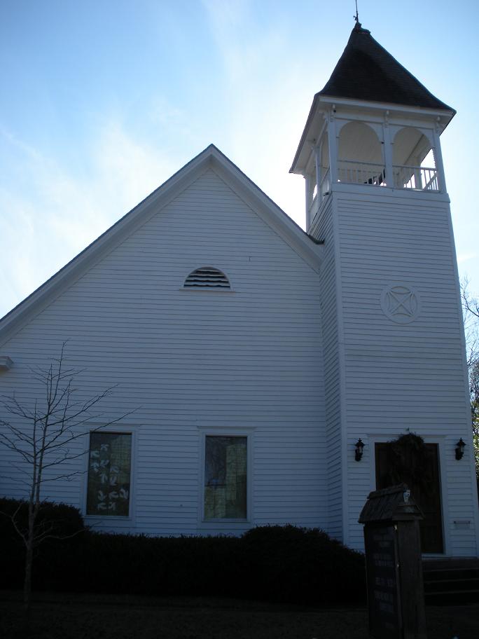
[3] Landmark name Image Date listed Location City or town Summary 1 Auburn University Chapel 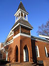
May 22, 1973 139 S. College Street
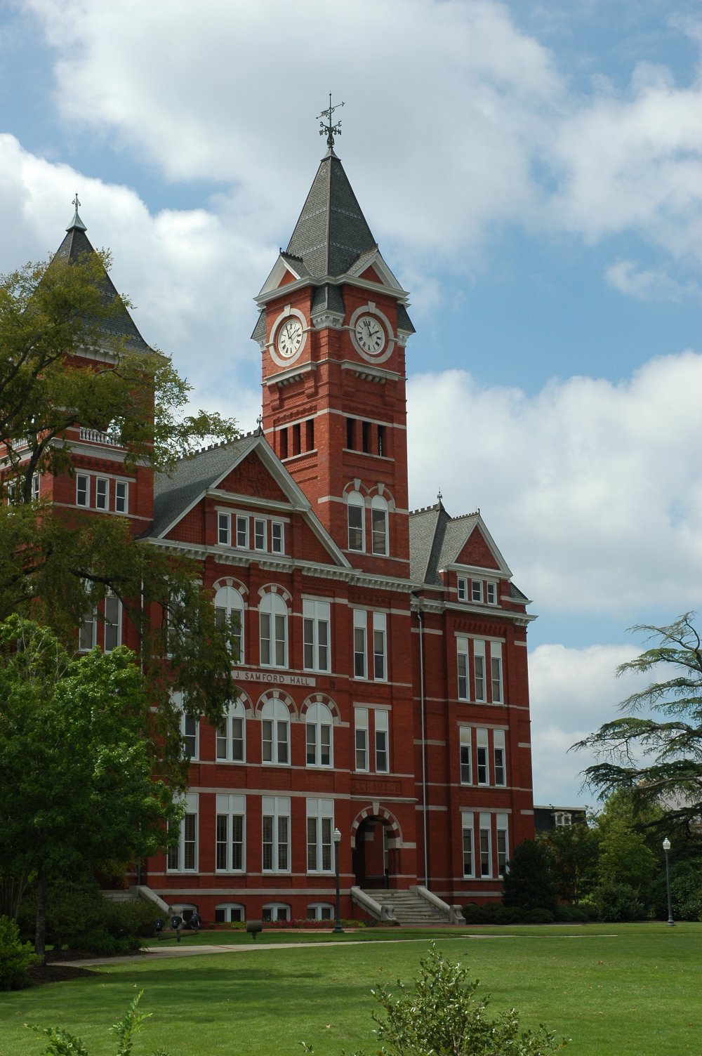
32°36′17″N 85°28′51″W / 32.604722°N 85.480833°WAuburn Formerly known as the Auburn Players Theater 2 Auburn University Historic District 
June 3, 1976 Auburn University campus
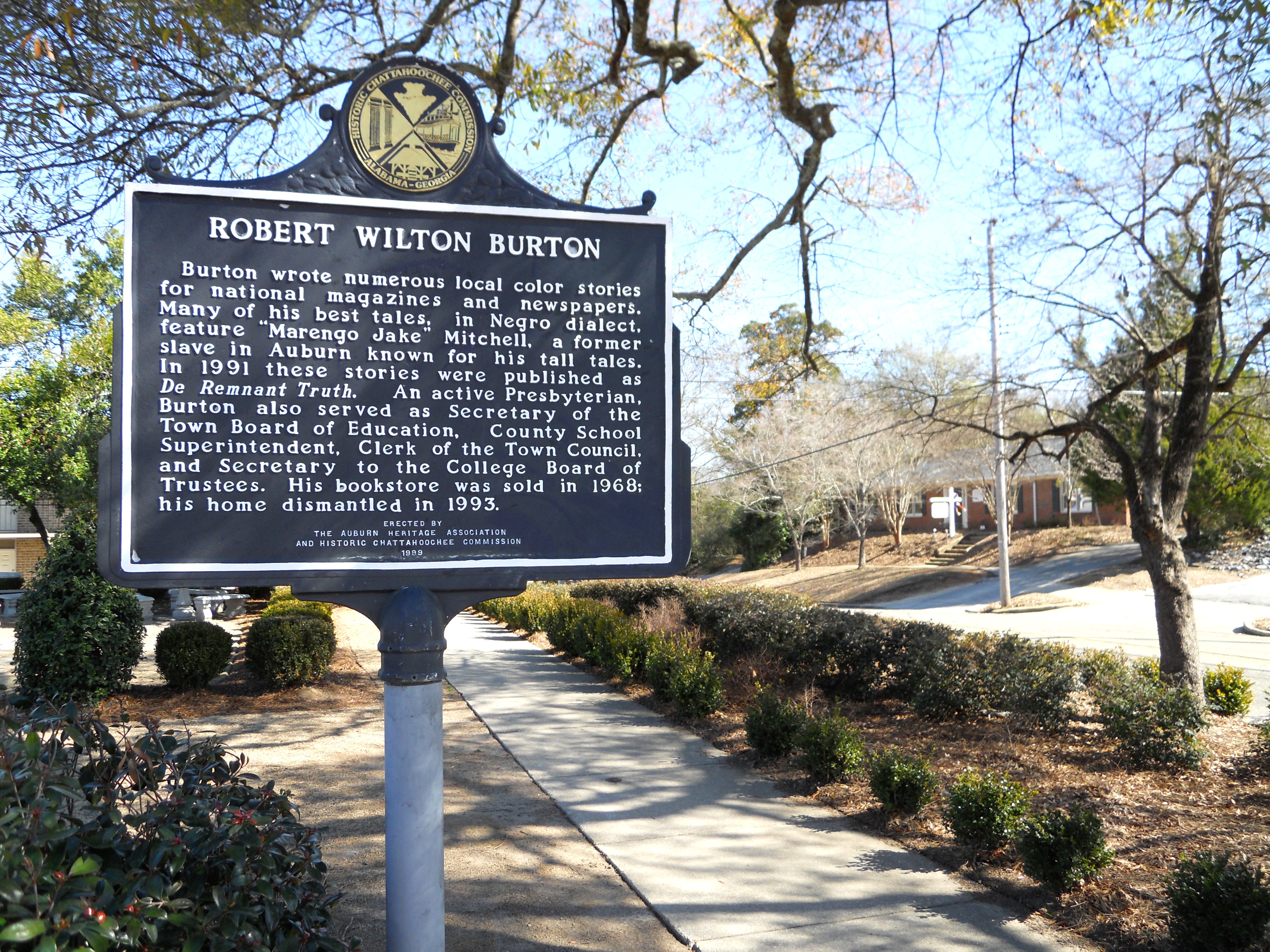
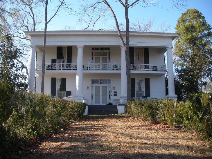
32°36′17″N 85°28′58″W / 32.604722°N 85.482778°WAuburn 3 Robert Wilton Burton House 
May 8, 1980 315 E. Magnolia Ave.
32°36′31″N 85°40′09″W / 32.608611°N 85.669167°WAuburn The Robert Wilton Burton House was dismantled in 1993. 4 Cullars Rotation 
April 18, 2003 Woodfield Dr., east of U.S. Route 29
32°35′19″N 85°29′01″W / 32.588611°N 85.483611°WAuburn 5 Dr. J.W. Darden House 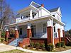
August 12, 2009 1323 Auburn St.
32°38′16″N 85°23′01″W / 32.637803°N 85.383575°WOpelika 6 Ebenezer Missionary Baptist Church 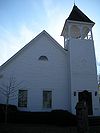
April 21, 1975 Thach St. and Auburn Dr., S.
32°36′14″N 85°28′24″W / 32.603889°N 85.473333°WAuburn The building now houses the Auburn Unitarian Universalist Fellowship 7 Geneva Street Historic District 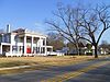
September 15, 1987 Roughly bounded by S. 7th, Glenn, Stowe, Geneva, and S. 10th Sts., and Ave. C
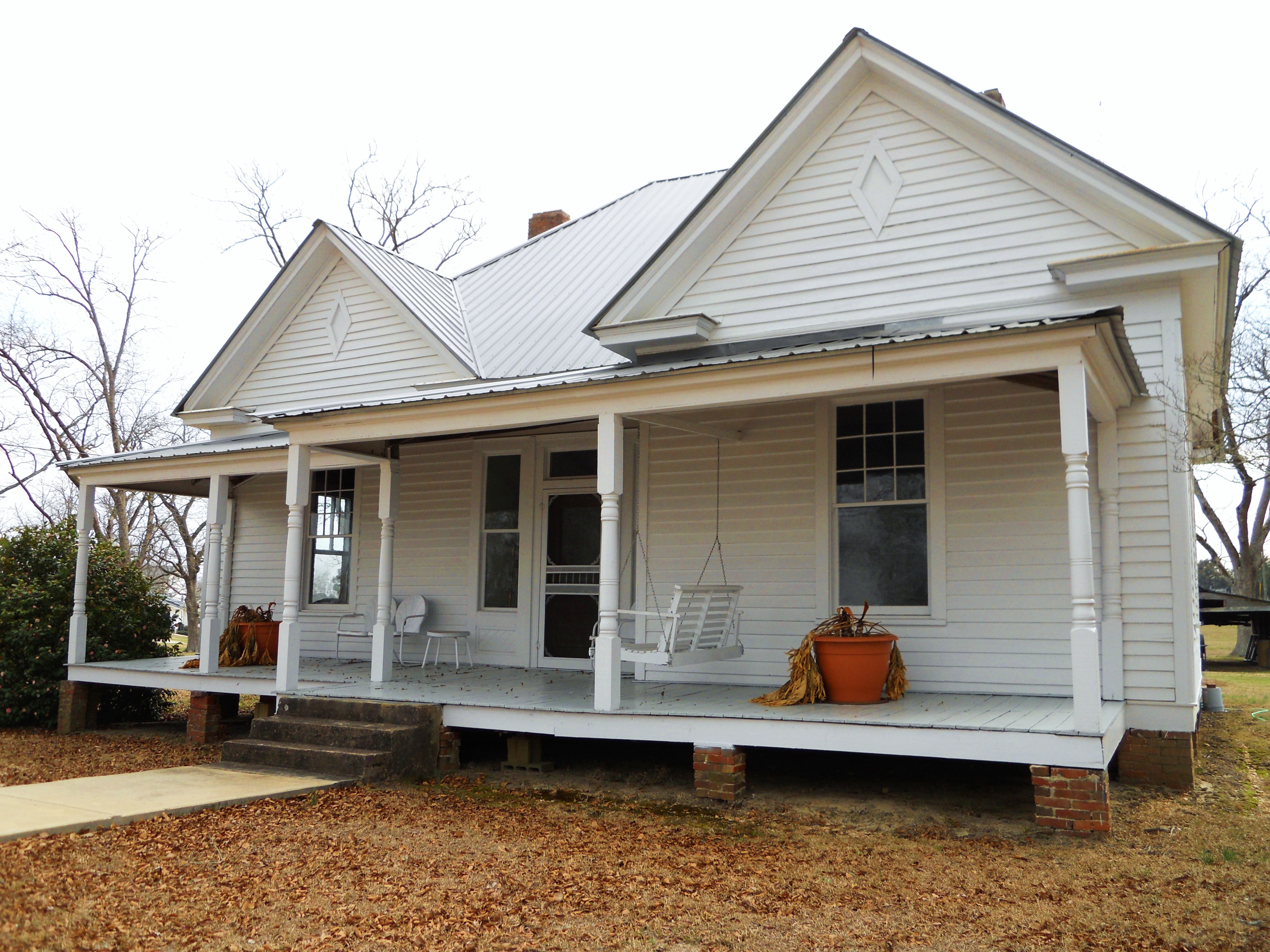
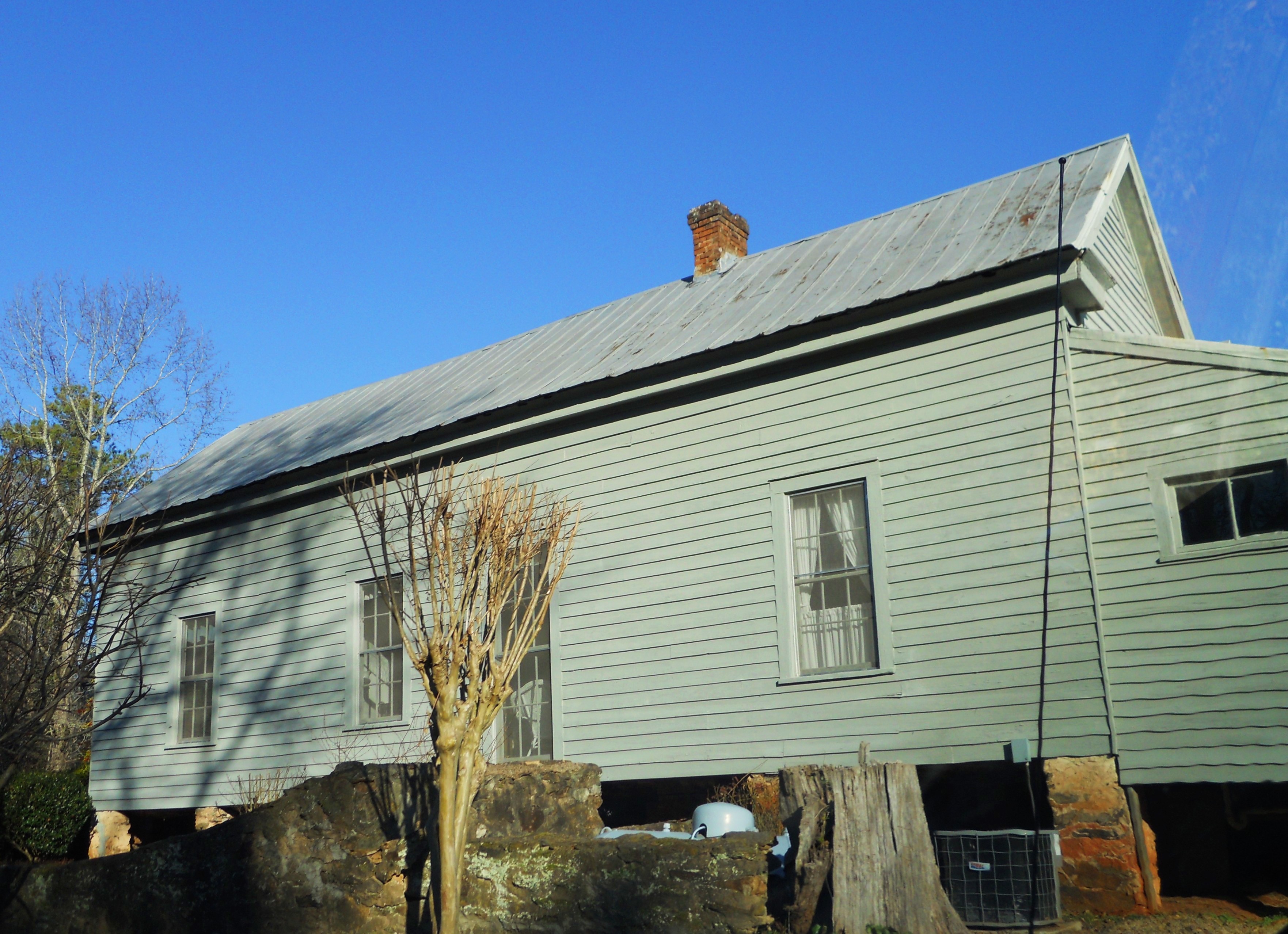
32°38′32″N 85°22′30″W / 32.642222°N 85.375°WOpelika 8 Jenkins Farmhouse 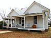
January 15, 2008 1190 County Road 38
32°28′18″N 85°21′19″W / 32.471609°N 85.355272°WDupree 9 Lee County Courthouse 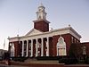
July 23, 1973 S. 9th St. between Aves. A and B
32°38′42″N 85°22′50″W / 32.645°N 85.380556°WOpelika 10 Loachapoka Historic District 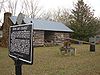
May 11, 1973 Both sides of State Route 14 in Loachapoka
32°36′16″N 85°35′37″W / 32.604444°N 85.593611°WLoachapoka 11 Lowther House Complex 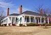
September 16, 1993 County Road 318
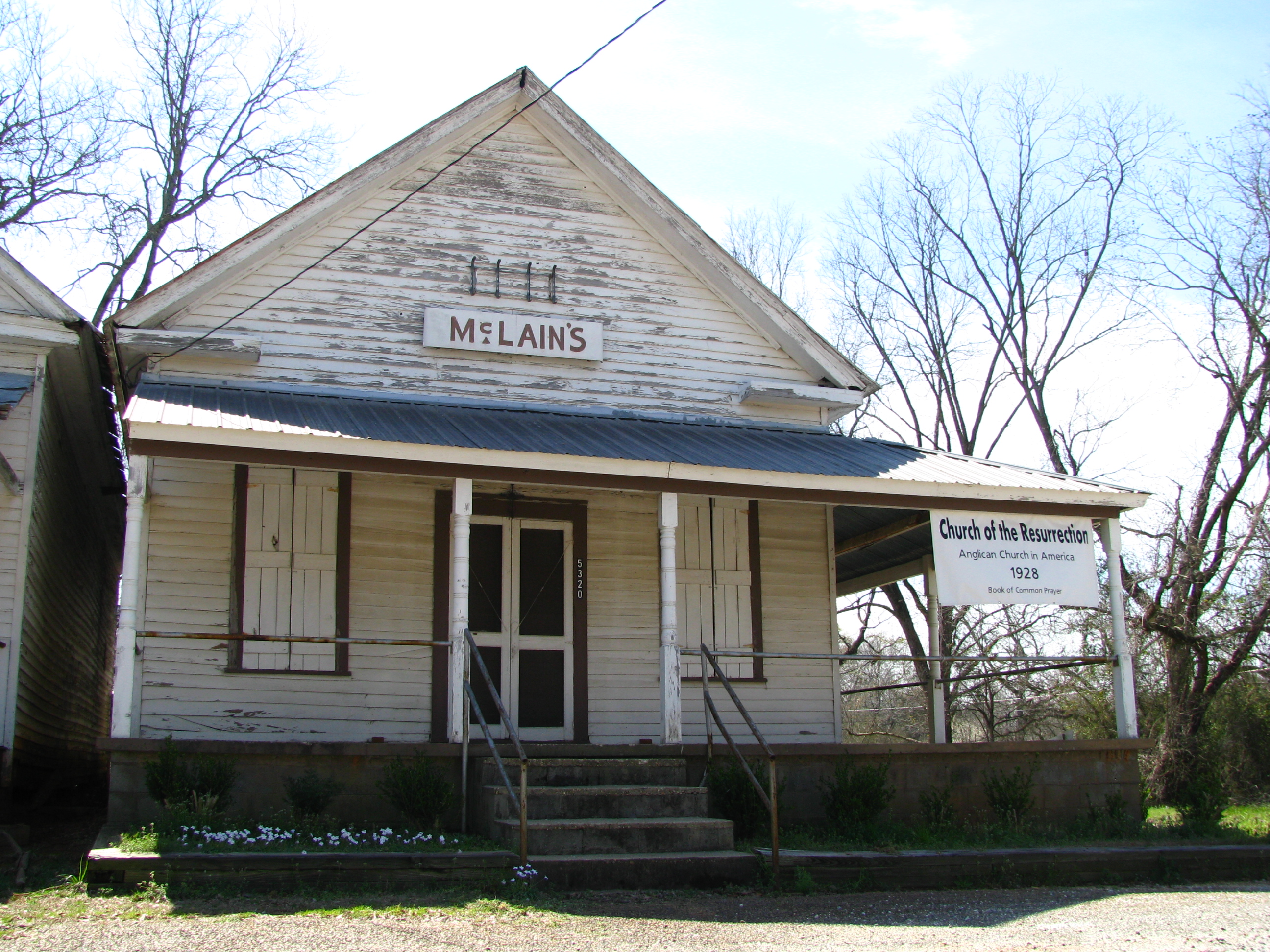
32°32′35″N 85°03′14″W / 32.543056°N 85.053889°WSmiths Station 12 Dr. Andrew D. McLain Office and Drug Store 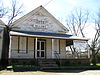
February 3, 1983 Main and Crawford Sts.
32°35′46″N 85°14′18″W / 32.596111°N 85.238333°WSalem The Dr. Andrew D. McLain Office and Drug Store was destroyed by an F2 tornado on February 28, 2009. 13 Noble Hall 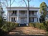
March 24, 1972 3 miles north of Auburn on Shelton Mill Rd.
32°38′23″N 85°27′55″W / 32.639722°N 85.465278°WAuburn Otherwise known as the Frazer-Brown-Pearson Home. 14 Northside Historic District 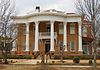
December 31, 2001 Roughly bounded by 7th Ave., 3rd St., 2nd Ave., and N. 11th St.
32°39′04″N 85°23′00″W / 32.651111°N 85.383333°WOpelika 15 Old Main and Church Street Historic District 
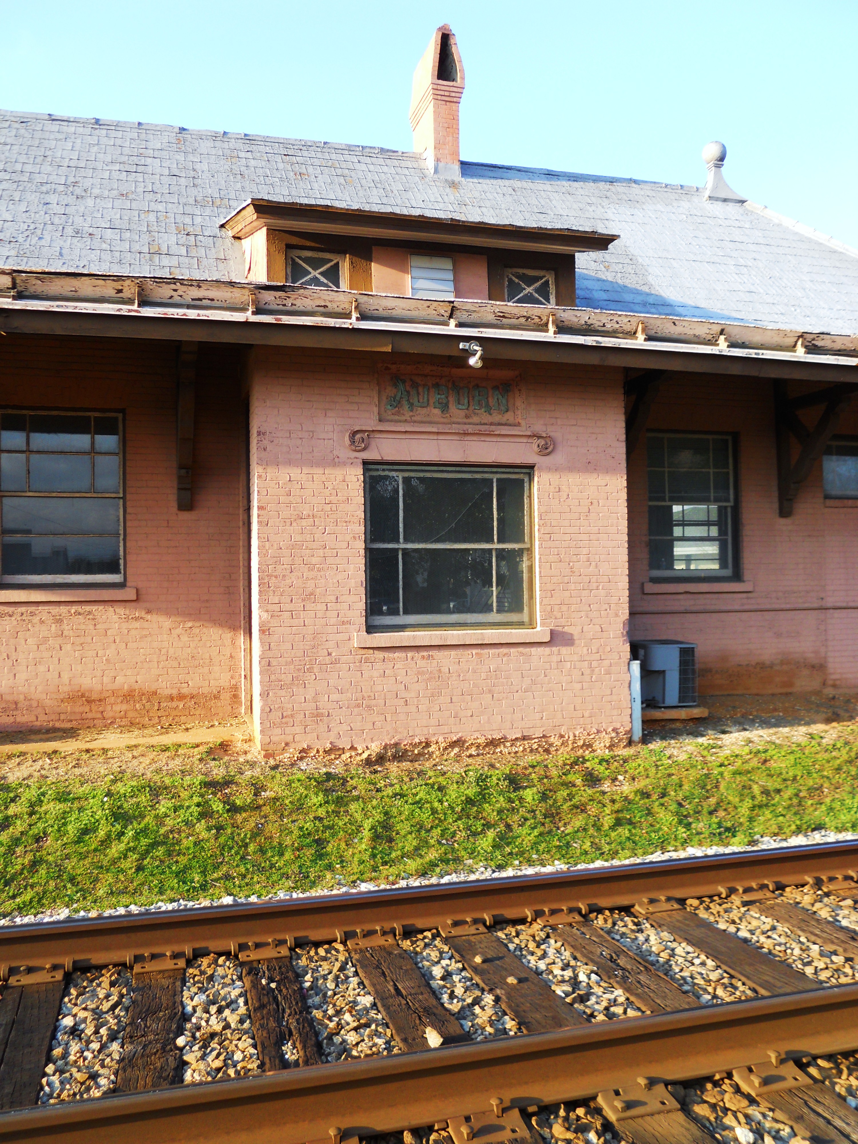
October 19, 1978 Roughly bounded by E. Drake Ave., the former Western Railway of Alabama line, N. Gay St., N. College St. and Bragg Ave. and Warrior Ct.
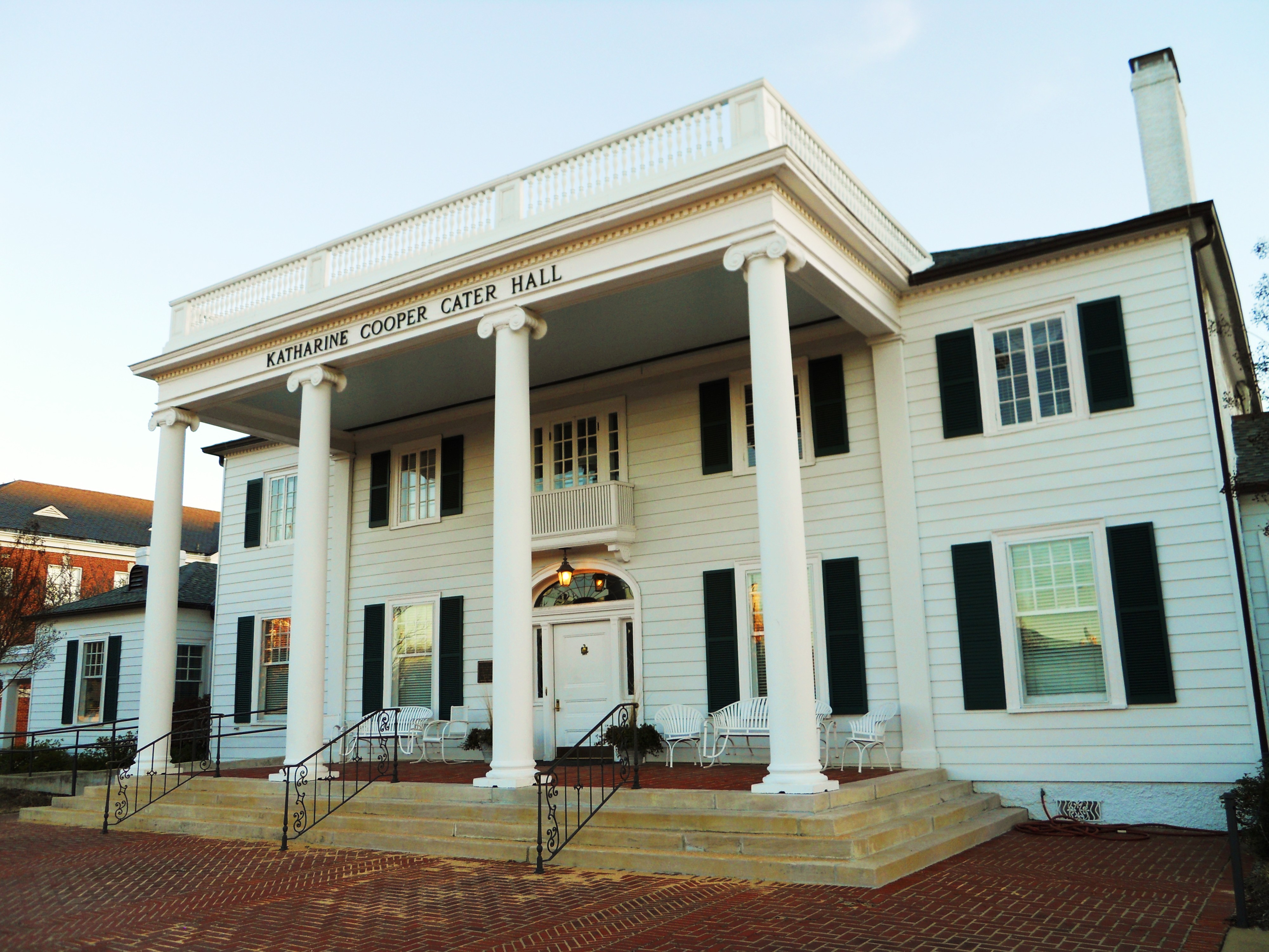
32°36′42″N 85°28′55″W / 32.611667°N 85.481944°WAuburn The Auburn Depot, located in the Old Main and Church Street Historic District in Auburn, Alabama. 16 Old President's Mansion 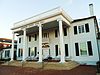
August 29, 2003 Located on the Thach Ave. concourse on the campus of Auburn University
32°36′12″N 85°29′06″W / 32.603333°N 85.485°WAuburn Now known as Katherine Cooper Cater Hall 17 Old Rotation 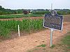
January 14, 1988 Auburn University campus
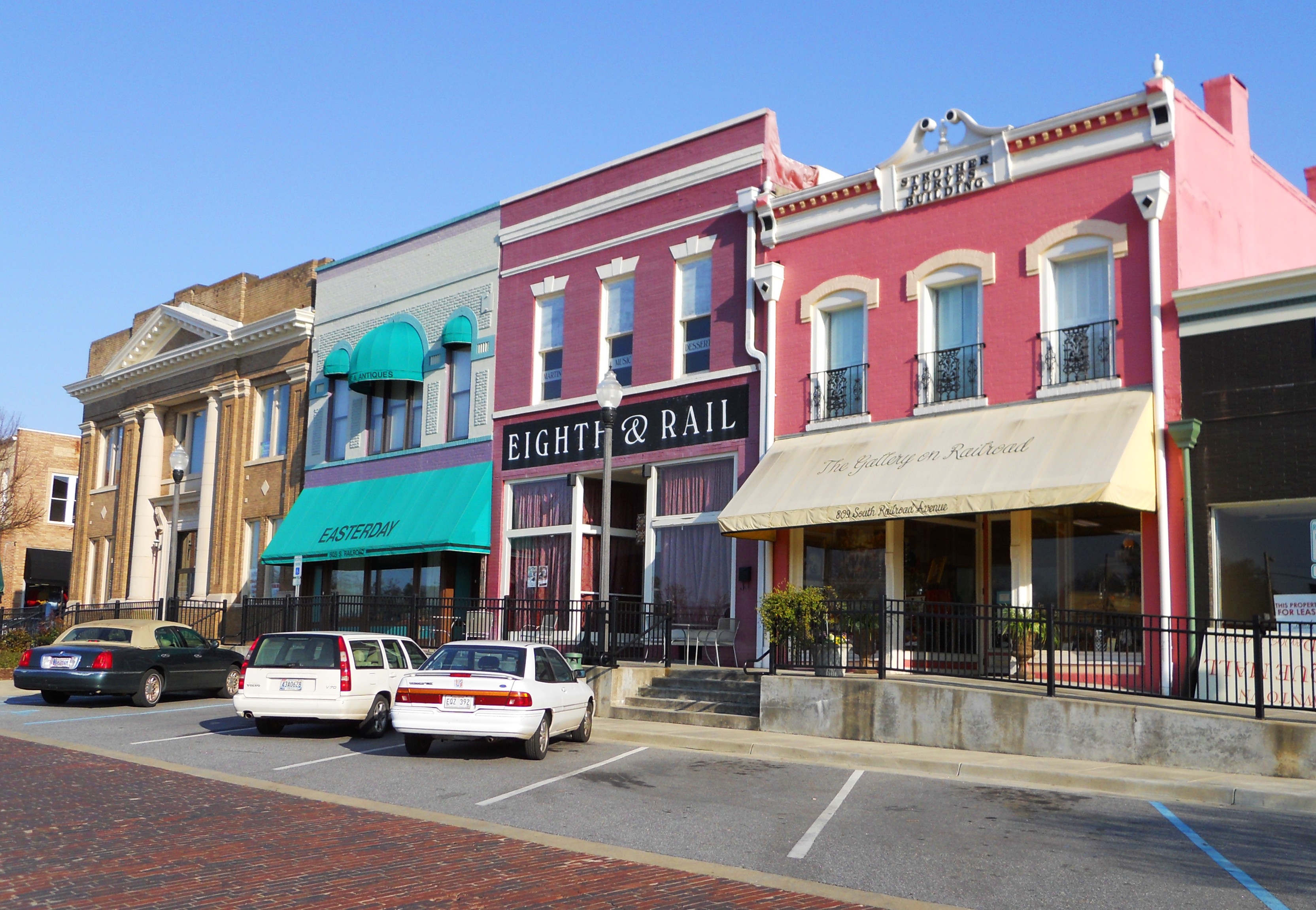
32°35′36″N 85°29′09″W / 32.593333°N 85.485833°WAuburn 18 Railroad Avenue Historic District 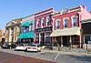
August 30, 1984 Roughly bounded by 7th and 10th Sts., 1st Ave., and Ave. B
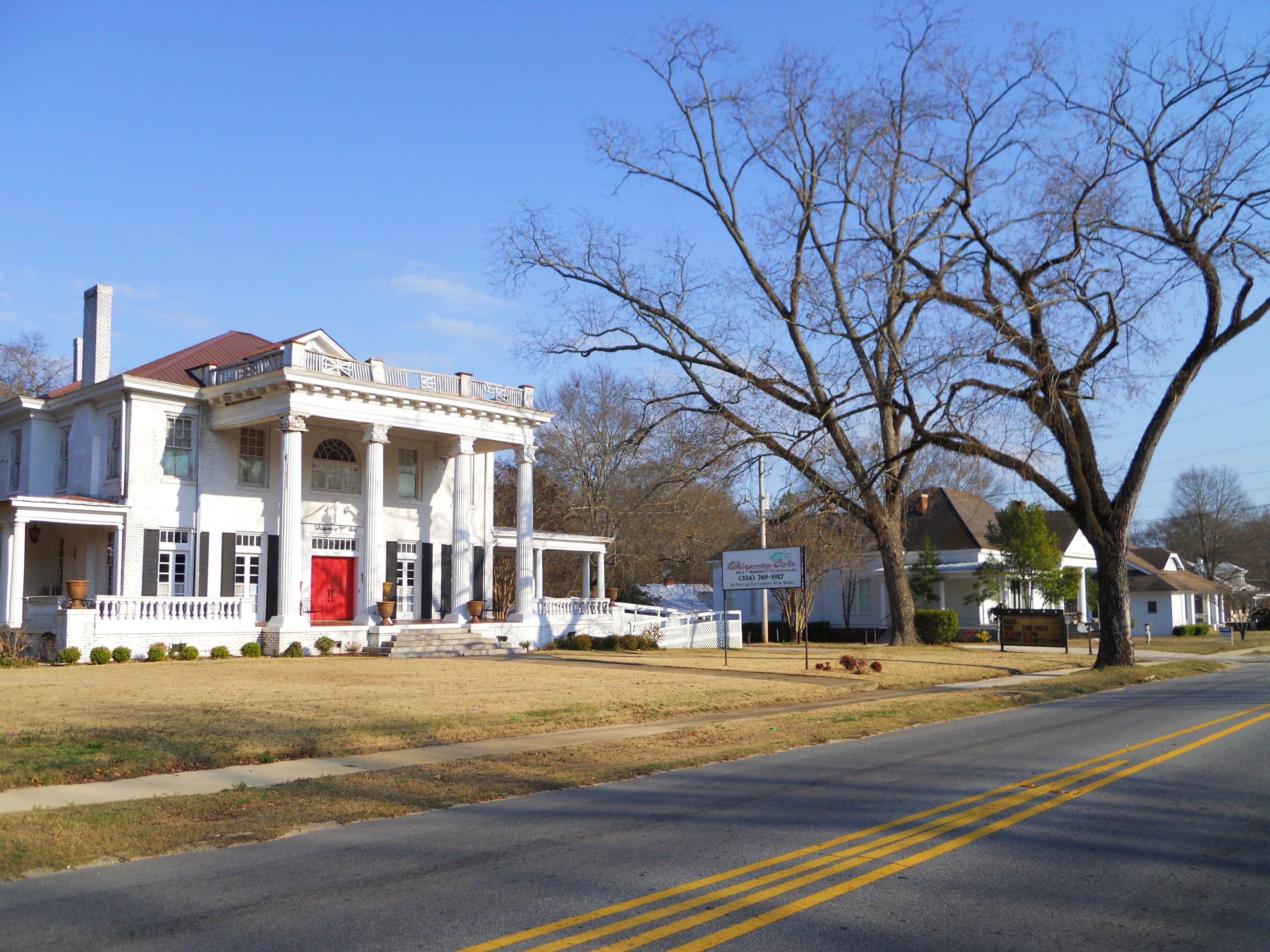
32°38′50″N 85°22′48″W / 32.647222°N 85.38°WOpelika 19 Scott-Yarbrough House 
April 16, 1975 101 DeBardeleben St.
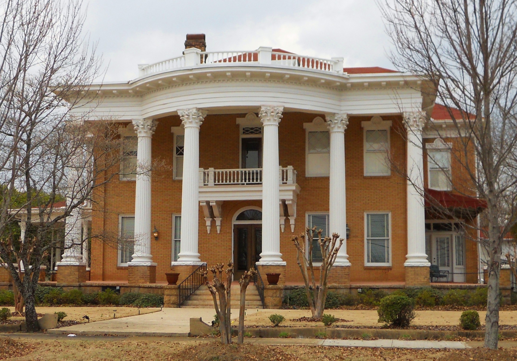
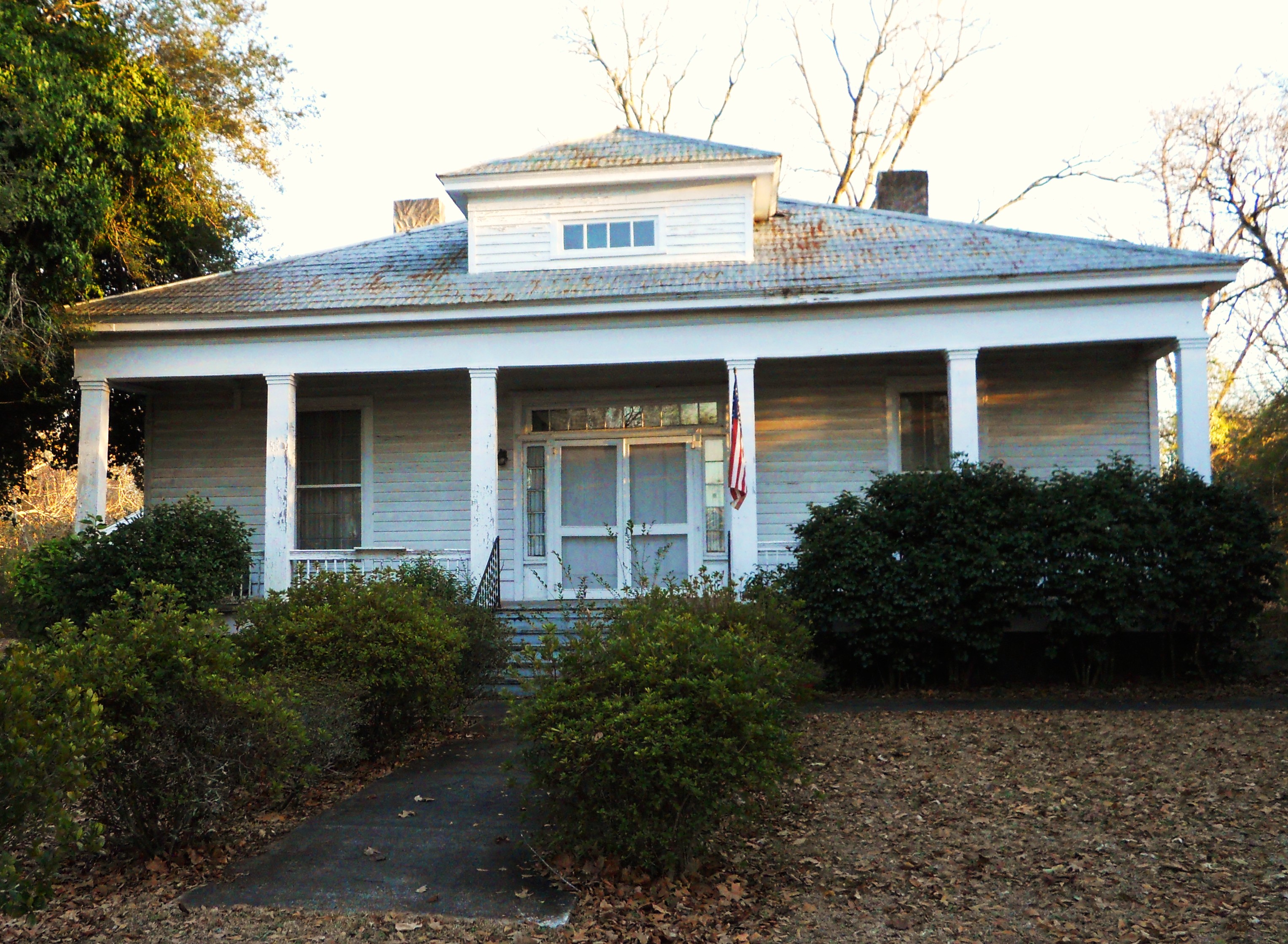
32°36′23″N 85°28′21″W / 32.606389°N 85.4725°WAuburn Otherwise known as "Pebble Hill" or The Caroline Marshall Draughon Center for the Arts & Humanities 20 Spring Villa 
January 3, 1978 6 miles (9.6 km) southeast of Opelika on Spring Villa Rd.
32°35′15″N 85°18′42″W / 32.5875°N 85.311667°WOpelika 21 Summers Plantation 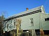
February 21, 1991 475 County Road 181
32°40′06″N 85°16′23″W / 32.668457°N 85.273079°WOpelika 22 Sunny Slope 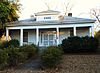
March 12, 2009 1031 S. College St.
32°35′10″N 85°29′13″W / 32.586117°N 85.4869°WAuburn 23 Auburn City Hall 
June 21, 1983 144 Tichenor Ave.
32°36′14″N 85°29′30″W / 32.603889°N 85.491667°WAuburn Listed on the National Register of Historic Places as "U.S. Post Office". 24 George W. Andrews Federal Building 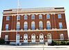
November 18, 1976 701 Ave. A
32°38′53″N 85°22′38″W / 32.648056°N 85.377222°WOpelika Listed on the National Register of Historic Places as "U.S. Post Office". 25 Franklin Yarbrough, Jr. Store 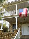
June 29, 1989 County Highway 68
32°42′39″N 85°11′01″W / 32.710833°N 85.183611°WBeulah Also known as The Roger Brown Memorial Rock House Museum See also
- List of National Historic Landmarks in Alabama
- National Register of Historic Places listings in Alabama
References
- ^ The latitude and longitude information provided in this table was derived originally from the National Register Information System, which has been found to be fairly accurate for about 99% of listings. For about 1% of NRIS original coordinates, experience has shown that one or both coordinates are typos or otherwise extremely far off; some corrections may have been made. A more subtle problem causes many locations to be off by up to 150 yards, depending on location in the country: most NRIS coordinates were derived from tracing out latitude and longitudes off of USGS topographical quadrant maps created under the North American Datum of 1927, which differs from the current, highly accurate WGS84 GPS system used by Google maps. Chicago is about right, but NRIS longitudes in Washington are higher by about 4.5 seconds, and are lower by about 2.0 seconds in Maine. Latitudes differ by about 1.0 second in Florida. Some locations in this table may have been corrected to current GPS standards.
- ^ "National Register of Historic Places: Weekly List Actions". National Park Service, United States Department of the Interior. Retrieved on November 10, 2011.
- ^ Numbers represent an ordering by significant words. Various colorings, defined here, differentiate National Historic Landmark sites and National Register of Historic Places Districts from other NRHP buildings, structures, sites or objects.
U.S. National Register of Historic Places in Alabama Lists by county Autauga • Baldwin • Barbour • Bibb • Blount • Bullock • Butler • Calhoun • Chambers • Cherokee • Chilton • Choctaw • Clarke • Clay • Cleburne • Coffee • Colbert • Conecuh • Coosa • Covington • Crenshaw • Cullman • Dale • Dallas • DeKalb • Elmore • Escambia • Etowah • Fayette • Franklin • Geneva • Greene • Hale • Henry • Houston • Jackson • Jefferson • Lamar • Lauderdale • Lawrence • Lee • Limestone • Lowndes • Macon • Madison • Marengo • Marion • Marshall • Mobile • Monroe • Montgomery • Morgan • Perry • Pickens • Pike • Randolph • Russell • St. Clair • Shelby • Sumter • Talladega • Tallapoosa • Tuscaloosa • Walker • Washington • Wilcox • Winston
Lists by city Other lists Municipalities and communities of Lee County, Alabama Cities Auburn | Opelika | Phenix City‡ | Smiths Station
Towns Loachapoka | Notasulga‡ | Waverly‡
Unincorporated
communitiesFootnotes ‡This populated place also has portions in an adjacent county or counties
Categories:- National Register of Historic Places in Lee County, Alabama
-


Wikimedia Foundation. 2010.