- National Register of Historic Places listings in Perry County, Alabama
-
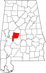 Location of Perry County in Alabama
This is a list of the National Register of Historic Places listings in Perry County, Alabama.
This is intended to be a complete list of the properties and districts on the National Register of Historic Places in Perry County, Alabama, United States. Latitude and longitude coordinates are provided for many National Register properties and districts; these locations may be seen together in a Google map.[1]
There are 18 properties and districts listed on the National Register in the county, including 1 National Historic Landmark.
-
- This National Park Service list is complete through NPS recent listings posted November 10, 2011.[2]
Current listings
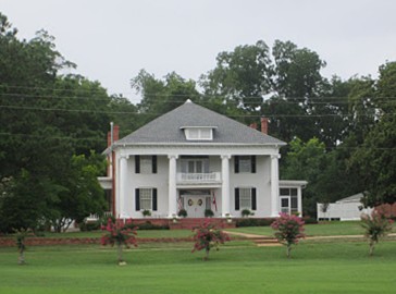
[3] Landmark name Image Date listed Location City or town Summary 1 Bryand Brand House August 6, 2010 Route 1, Box 260
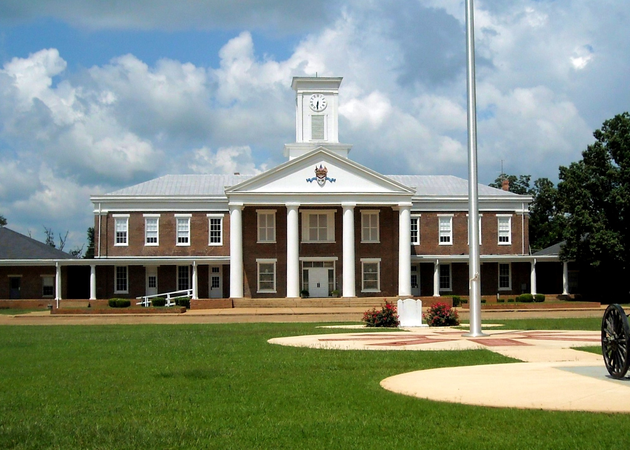
32°40′26″N 87°23′46″W / 32.673889°N 87.396111°WFolsom vicinity 2 Chapel and Lovelace Hall, Marion Military Institute 
September 13, 1978 State Route 14
32°37′25″N 87°19′19″W / 32.623611°N 87.321944°WMarion 3 Fairhope Plantation 
May 29, 1992 U.S. Route 80 1 mile east of the Uniontown city limits
32°26′49″N 87°29′24″W / 32.446944°N 87.49°WUniontown 4 First Congregational Church of Marion 
December 17, 1982 601 Clay St.
32°37′39″N 87°19′41″W / 32.6275°N 87.328056°WMarion 5 Green Street Historic District 
May 30, 1979 203-751 W. Green St.
32°37′54″N 87°19′29″W / 32.631667°N 87.324722°WMarion 6 Henry House 
September 25, 1986 S. Washington St.
32°36′36″N 87°19′06″W / 32.61°N 87.318333°WMarion 7 Judson College Historic District 
February 3, 1993 Roughly bounded by E. Lafayette, Curb, Mason and Washington Sts.
32°38′19″N 87°17′49″W / 32.638611°N 87.296944°WMarion 8 Kenworthy Hall 
August 23, 1990 State Route 14, west of Marion
32°38′06″N 87°21′07″W / 32.635°N 87.351944°WMarion 9 Marion Courthouse Square Historic District 
February 16, 1996 Roughly along Green, Washington, Jefferson, Jackson, Franklin, Clements, Centreville, and Monroe Sts.
32°38′06″N 87°19′11″W / 32.635°N 87.319722°WMarion 10 Marion Female Seminary 
October 4, 1973 202 Monroe St.
32°37′54″N 87°19′09″W / 32.631667°N 87.319167°WMarion 11 Moore-Webb-Holmes Plantation 
August 24, 2011 Junction of AL 14 & Webb Rd.
32°40′56″N 87°24′16″W / 32.682222°N 87.404444°WMarion vicinity 12 Phillips Memorial Auditorium 
February 13, 1990 Lincoln Ave. and Lee St.
32°37′31″N 87°19′44″W / 32.625278°N 87.328889°WMarion Part of the Lincoln Normal School 13 Pitts' Folly 
August 9, 1984 Old Cahaba Rd.
32°26′42″N 87°30′29″W / 32.445°N 87.508056°WUniontown 14 President's House, Marion Institute 
May 14, 1979 110 Brown St. Marion 15 Siloam Baptist Church 
December 27, 1982 503 Washington St.
32°37′44″N 87°19′04″W / 32.628889°N 87.317778°WMarion 16 Uniontown Historic District 
February 24, 2000 Roughly bounded by Tomasene St., Taylor St., East Ave., and Green St.
32°27′33″N 87°31′00″W / 32.459167°N 87.516667°WUniontown 17 West Marion Historic District 
April 22, 1993 Roughly bounded by W. Lafayette St., Washington St., Murfree Ave., College St., and Margin St.
32°37′34″N 87°19′20″W / 32.626111°N 87.322222°WMarion 18 Westwood 
November 21, 1974 North of Uniontown off State Route 61; also roughly bounded by U.S. Route 80, State Route 61, Rabbit Yard Rd., and the old Uniontown railroad spur
32°27′34″N 87°30′52″W / 32.459444°N 87.514444°WUniontown Second set of boundaries represents a boundary increase of December 10, 1984, the Westwood Plantation See also
- List of National Historic Landmarks in Alabama
- National Register of Historic Places listings in Alabama
References
- ^ The latitude and longitude information provided in this table was derived originally from the National Register Information System, which has been found to be fairly accurate for about 99% of listings. For about 1% of NRIS original coordinates, experience has shown that one or both coordinates are typos or otherwise extremely far off; some corrections may have been made. A more subtle problem causes many locations to be off by up to 150 yards, depending on location in the country: most NRIS coordinates were derived from tracing out latitude and longitudes off of USGS topographical quadrant maps created under the North American Datum of 1927, which differs from the current, highly accurate WGS84 GPS system used by Google maps. Chicago is about right, but NRIS longitudes in Washington are higher by about 4.5 seconds, and are lower by about 2.0 seconds in Maine. Latitudes differ by about 1.0 second in Florida. Some locations in this table may have been corrected to current GPS standards.
- ^ "National Register of Historic Places: Weekly List Actions". National Park Service, United States Department of the Interior. Retrieved on November 10, 2011.
- ^ Numbers represent an ordering by significant words. Various colorings, defined here, differentiate National Historic Landmark sites and National Register of Historic Places Districts from other NRHP buildings, structures, sites or objects.
U.S. National Register of Historic Places in Alabama Lists by county Autauga • Baldwin • Barbour • Bibb • Blount • Bullock • Butler • Calhoun • Chambers • Cherokee • Chilton • Choctaw • Clarke • Clay • Cleburne • Coffee • Colbert • Conecuh • Coosa • Covington • Crenshaw • Cullman • Dale • Dallas • DeKalb • Elmore • Escambia • Etowah • Fayette • Franklin • Geneva • Greene • Hale • Henry • Houston • Jackson • Jefferson • Lamar • Lauderdale • Lawrence • Lee • Limestone • Lowndes • Macon • Madison • Marengo • Marion • Marshall • Mobile • Monroe • Montgomery • Morgan • Perry • Pickens • Pike • Randolph • Russell • St. Clair • Shelby • Sumter • Talladega • Tallapoosa • Tuscaloosa • Walker • Washington • Wilcox • Winston
Lists by city Other lists Municipalities and communities of Perry County, Alabama Cities 
Unincorporated
communitiesCategories:- National Register of Historic Places in Perry County, Alabama
-


Wikimedia Foundation. 2010.