- Brockley, Somerset
-
Coordinates: 51°23′53″N 2°45′37″W / 51.3980°N 2.7603°W
Brockley 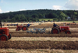
Brockley ploughing match in 1991
 Brockley
Brockley shown within SomersetPopulation 271 [1] OS grid reference ST471668 Unitary authority North Somerset Ceremonial county Somerset Region South West Country England Sovereign state United Kingdom Post town BRISTOL Postcode district BS48 Dialling code 01275 Police Avon and Somerset Fire Avon Ambulance Great Western EU Parliament South West England UK Parliament Woodspring North Somerset
(from general election)List of places: UK • England • Somerset Brockley is a village and civil parish in Somerset, England. The parish is within the Unitary authority of North Somerset, about 3 miles (4.8 km) south of Nailsea, and includes the village of Chelvey. According to the 2001 census it had a population of 271.[1]
Contents
History
To the west of Brockley is Taps Combe Camp,a Roman Iron Age hill fort. The hill fort is shaped a lot like a "D", and is approximately 50 metres (160 ft) by 50 metres (160 ft) wide.[2]
The parish of Brockley was part of the hundred of Chewton, while Chelvey was part of the hundred of Hartcliffe.[3]
Brockley was the location of a 300-person Prisoner of War camp during World War II, initially housing Italian prisoners from the Western Desert Campaign, and later German prisoners post the Battle of Normandy.
Governance
The parish council has responsibility for local issues, including setting an annual precept (local rate) to cover the council’s operating costs and producing annual accounts for public scrutiny. The parish council evaluates local planning applications and works with the local police, district council officers, and neighbourhood watch groups on matters of crime, security, and traffic. The parish council's role also includes initiating projects for the maintenance and repair of parish facilities, such as the village hall or community centre, playing fields and playgrounds, as well as consulting with the district council on the maintenance, repair, and improvement of highways, drainage, footpaths, public transport, and street cleaning. Conservation matters (including trees and listed buildings) and environmental issues are also of interest to the council.
The parish falls within the unitary authority of North Somerset which was created in 1996, as established by the Local Government Act 1992. It provides a single tier of local government with responsibility for almost all local government functions within its area including local planning and building control, local roads, council housing, environmental health, markets and fairs, refuse collection, recycling, cemeteries, crematoria, leisure services, parks, and tourism. They are also responsible for education, social services, libraries, main roads, public transport, trading standards, waste disposal and strategic planning, although fire, police and ambulance services are provided jointly with other authorities through the Avon Fire and Rescue Service, Avon and Somerset Constabulary and the Great Western Ambulance Service.
North Somerset's area covers part of the ceremonial county of Somerset but it is administered independently of the non-metropolitan county. Its administrative headquarters is in the town hall in Weston-super-Mare. Between 1 April 1974 and 1 April 1996, it was the Woodspring district of the county of Avon.[4] Before 1974 that the parish was part of the Long Ashton Rural District.[5]
The parish is represented in the House of Commons of the Parliament of the United Kingdom as part of the Woodspring county constituency which is to become North Somerset at next general election. It elects one Member of Parliament (MP) by the first past the post system of election. It is also part of the South West England constituency of the European Parliament which elects seven MEPs using the d'Hondt method of party-list proportional representation.
Geography
Brockley Combe is a wooded combe near the village. Bristol International Airport lies at the top of the combe. A minor road runs along the length of the combe, meeting the A370 at the lower end. The village is at the western edge of the Lulsgate Plateau, the Carboniferous limestone hills which form a northern outlier of the Mendip Hills.
Landmarks
Brockley Hall Stables, the former stable block of Brockley Hall, is designated as a Site of Special Scientific Interest (SSSI) because the roofspace hosts a large breeding colony of greater horseshoe bats during summer.[6] They are also a grade II listed building.[7] Brockley Hall was a country house dating from the late 18th century, which was remodelled around 1825 in a plain Greek Revival style for J.H. Smyth-Pigott. It has now been converted into flats.[8]
Nailsea Court near Chelvey dates from the 15th century and is a Grade I listed building.[9]
Transport

The village is on the A370 between Bristol and Weston-super-Mare close to the Bristol Channel.
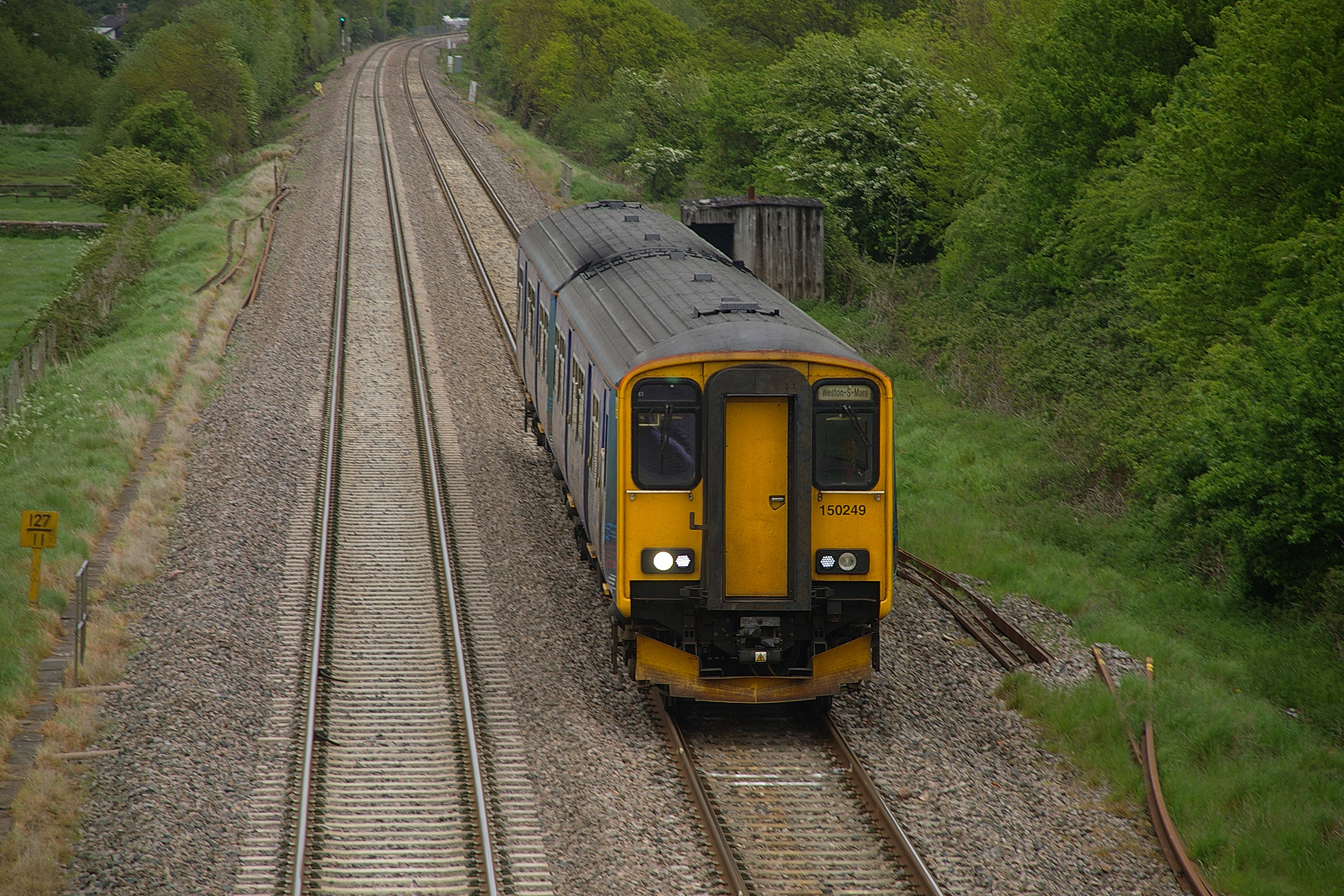
The village of Chelvey which is on the Bristol to Taunton Line with the nearest station being at Backwell. The parish is sectioned by the Bristol and Exeter Railway, now part of the First Great Western area.
Religious sites
St. Nicholas' Church dates from the 12th century, and has been designated as a grade II* listed building.[10] The church is in the care of the Churches Conservation Trust.[11]
Church of St Bridget, Chelvey dates from the 12th century, and has been designated by English Heritage as a Grade I listed building.[12] Chelvey Court was built around 1618 to 1660 as a manor house for Edward and John Tynte.[13]
References
- ^ a b "Parish of Brockley 2001 Census Parish Information Sheet". North Somerset Council. http://www.n-somerset.gov.uk/NR/rdonlyres/309F377C-78FD-4668-9E03-C4FFF4452BE1/0/census_BrockleyParishCensusInfo2001.pdf. Retrieved 14 October 2008.
- ^ Everden, Shirley (August 2009). "Enclosure At Chelvey Batch, Broadfield Down Earthwork Survey" (PDF). http://ycccart.co.uk/Documents/Chelvey%20doc1.pdf. Retrieved 24 December 2010.
- ^ "Somerset Hundreds". GENUKI. http://www.genuki.org.uk/big/eng/SOM/Miscellaneous/. Retrieved 9 October 2011.
- ^ "The Avon (Structural Change) Order 1995". HMSO. http://www.opsi.gov.uk/si/si1995/Uksi_19950493_en_1.htm. Retrieved 9 December 2007.
- ^ A Vision of Britain Through Time : Long Ashton Rural District
- ^ English Nature citation sheet for the site . Retrieved 9 July 2006.
- ^ "Stables and Coach-house". Images of England. English Heritage. http://www.imagesofengland.org.uk/Details/Default.aspx?id=33441. Retrieved 14 October 2008.
- ^ "Brockley Hall,". Images of England. English Heritage. http://www.imagesofengland.org.uk/Details/Default.aspx?id=33440. Retrieved 14 October 2008.
- ^ "Nailsea Court". Images of England. English Heritage. http://www.imagesofengland.org.uk/Details/Default.aspx?id=33712. Retrieved 9 April 2009.
- ^ "St. Nicholas' Church". Images of England. English Heritage. http://www.imagesofengland.org.uk/Details/Default.aspx?id=33451. Retrieved 14 October 2008.
- ^ "St Nicholas, Brockley". Churches Conservation Trust. http://www.visitchurches.org.uk/findachurch/st-nicholas-brockley/?region=Somerset&offset=0. Retrieved 14 January 2010.
- ^ "St. Bridget's Church". Images of England. http://www.imagesofengland.org.uk/details/default.aspx?id=33443. Retrieved 31 January 2008.
- ^ "Chelvey Court and Bridge to the east and 2 outbuildings to the south-west". Images of England. http://www.imagesofengland.org.uk/details/default.aspx?id=33445. Retrieved 31 January 2008.
See also
- Brockley Combe
- Brockley Hall Stables SSSI
External links
Categories:- Prisoner of war camps in the United Kingdom
- Civil parishes in Somerset
- Villages in North Somerset


Wikimedia Foundation. 2010.