- Dachigam National Park
-
Dachigam National Park 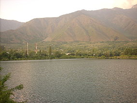
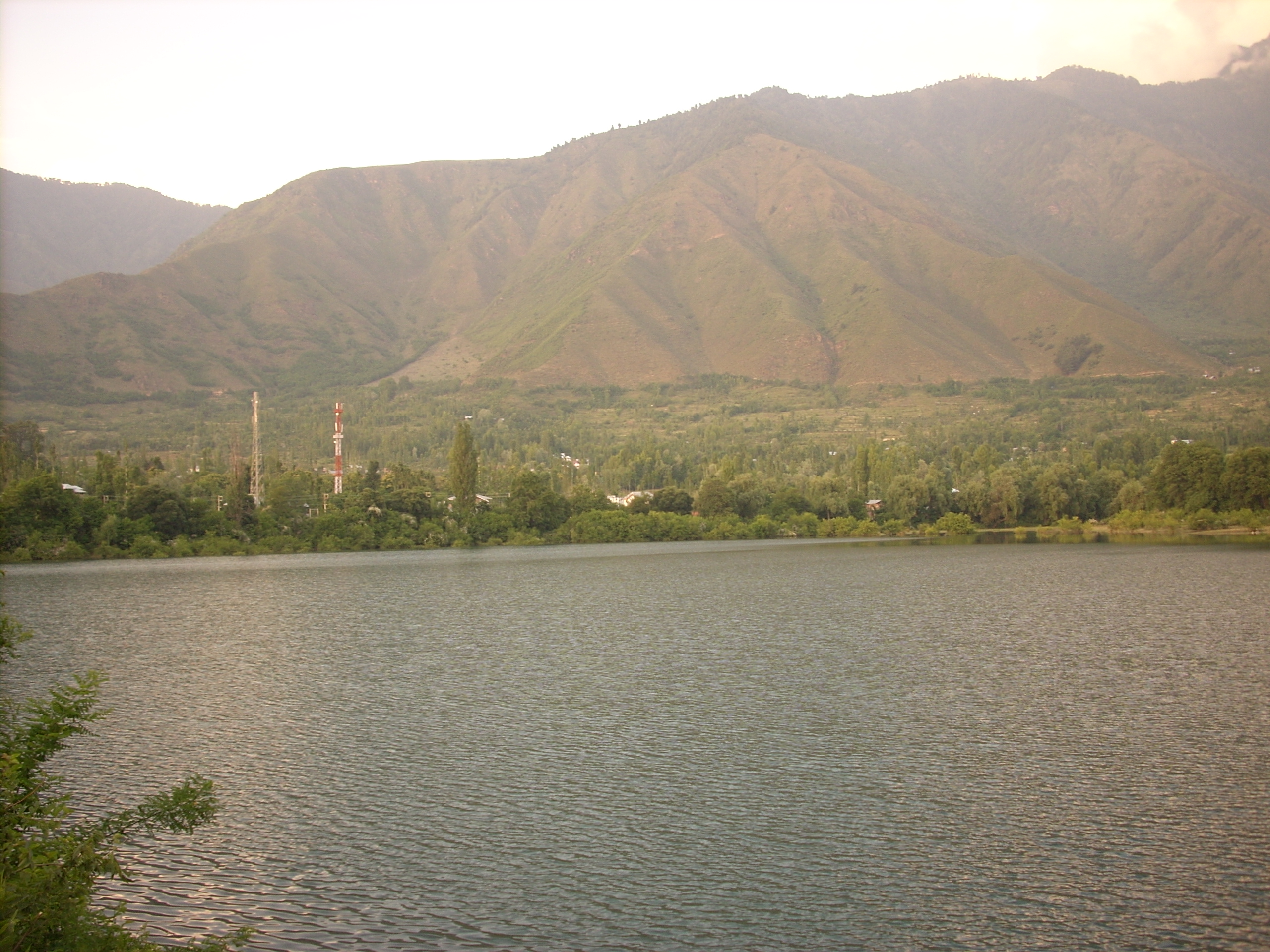
Sarband water body with Dachigam National Park in the background.Location Jammu and Kashmir, India Area 141 km² Established 1981 Dachigam National Park is located 22 kilometers from Srinagar, Jammu and Kashmir. It covers an area of 141 square kilometers. The name of the park literally stands for "ten villages" which could be in memory of the ten villages that were relocated for its formation.
The park has been a protected area since 1910, first under the care of the Maharaja of Jammu and Kashmir and later under the observation of the concerned government authorities. It was initially created to ensure clean drinking water supply for the city of Srinagar. It was finally upgraded and declared a National Park in the year 1981.
Contents
Topography
Dachigam National park is located among the high mountains of the mighty western Himalayas. The variation in altitude is vast, ranging from 5500 ft to 14000 ft above mean sea level. Due to this vast variation, the park is very clearly demarcated into an upper and lower region. The terrain ranges from gently sloping grasslands to sharp rocky outcrops and cliffs. Part of the park lies above the tree line and this area displays its own kind of natural beauty with bare rock mountains and crevices.
Flora
The mountainsides below the tree line are heavily wooded. Most of this coniferous forest consists of broad leaf species. Interspersed between these are alpine pastures, meadows, waterfalls and scrub vegetation with deep gullies, locally known as Nars, running down the mountain face. Most of the grasslands and meadows, except in the harsh winters, are covered with brightly coloured flowers. Located high among its interiors is the Marsar lake from which flows the Dagwan river. This river flows all the way down to, and past, the lower region where it runs along the only proper road in the park and is also famous for its fish population, the trout.
Fauna
The main animal species that Dachigam is most famous for is the Hangul, or the Kashmir Stag.
- Hangul
- Musk Deer
- Leopard
- Himalayan Gray Langur
- Leopard Cat
- Himalayan Black Bear
- Himalayan Brown Bear
- Jackal
- Hill Fox
- Himalayan Weasel
- Yellow-throated Marten
- Jungle Cat
- Long-tailed Marmot
- Otter
Birds
- Cinnamon Sparrow
- Black Bulbul
- Himalayan Monal
- Golden Oriole
- Minivet
- Pygmy Owlet
- Woodpecker
- Babbler
- Redstart
- Wagtail
- Koklass Pheasant
- Chough
- Orange Bullfinch
- Kashmir Flycatcher
- Tytler's Leaf Warbler
- Streaked Laughingthrush
- Himalayan Rubythroat
- Wallcreeper
- Black-and-Yellow Grosbeak
- Himalayan Griffon Vulture
- Bearded Vulture
- Red-billed Blue Magpie
- Titmouse
Coordinates: 34°08′14″N 75°02′16″E / 34.13722°N 75.03778°E
Categories:- IUCN Category II
- National parks in Jammu and Kashmir
- Protected areas established in 1910
- Visitor attractions in Srinagar
Wikimedia Foundation. 2010.