- Mount Austin, New South Wales
-
Mount Austin
Wagga Wagga, New South Wales
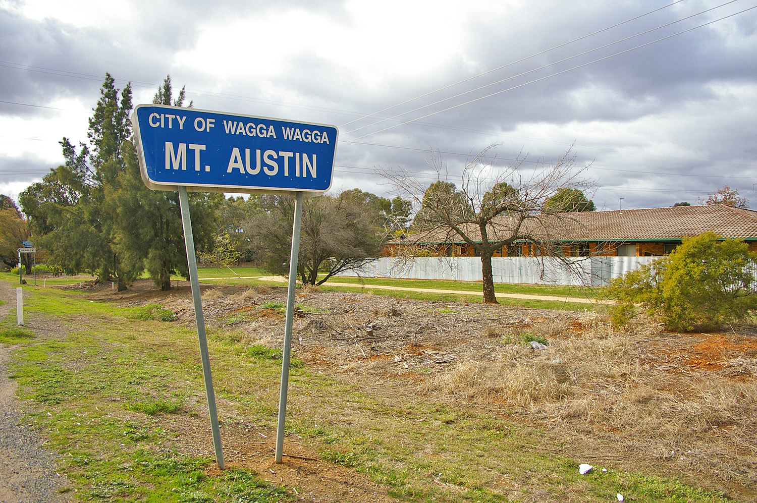
Mount Austin suburb signPopulation: 4,165[1] Postcode: 2650 Coordinates: 35°8′10.06″S 147°21′7.48″E / 35.1361278°S 147.3520778°ECoordinates: 35°8′10.06″S 147°21′7.48″E / 35.1361278°S 147.3520778°E LGA: City of Wagga Wagga County: Wynyard Parish: South Wagga Wagga State District: Wagga Wagga Federal Division: Riverina Suburbs around Mount Austin: Glenfield Park Turvey Park Kooringal Glenfield Park Mount Austin Kooringal Glenfield Park Tolland Kooringal Mount Austin is an inner southern suburb of Wagga Wagga, New South Wales, Australia. Its boundaries are Fernleigh Road and Leavenworth Drive to the north and south respectively, whilst Glenfield Road and Willans Hill form the western and eastern extents.
The suburb is dominated by former and present Housing NSW residences.
Mount Austin Public School is located within the suburb however Mount Austin High School is actually situated in the neighbouring suburb of Tolland.
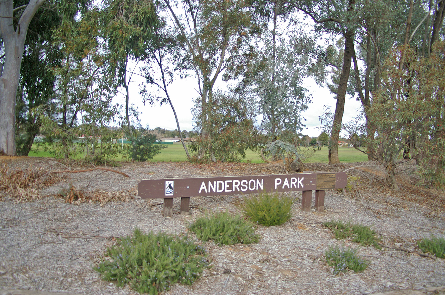
Anderson Park
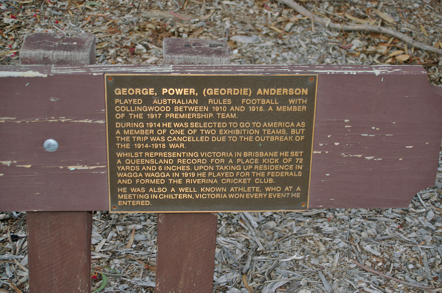
Anderson Park, in the suburb, was opened in 1987. It is named after the one-time Collingwood footballer, and long time local resident, George P. Anderson (1885-1957).
-
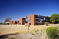
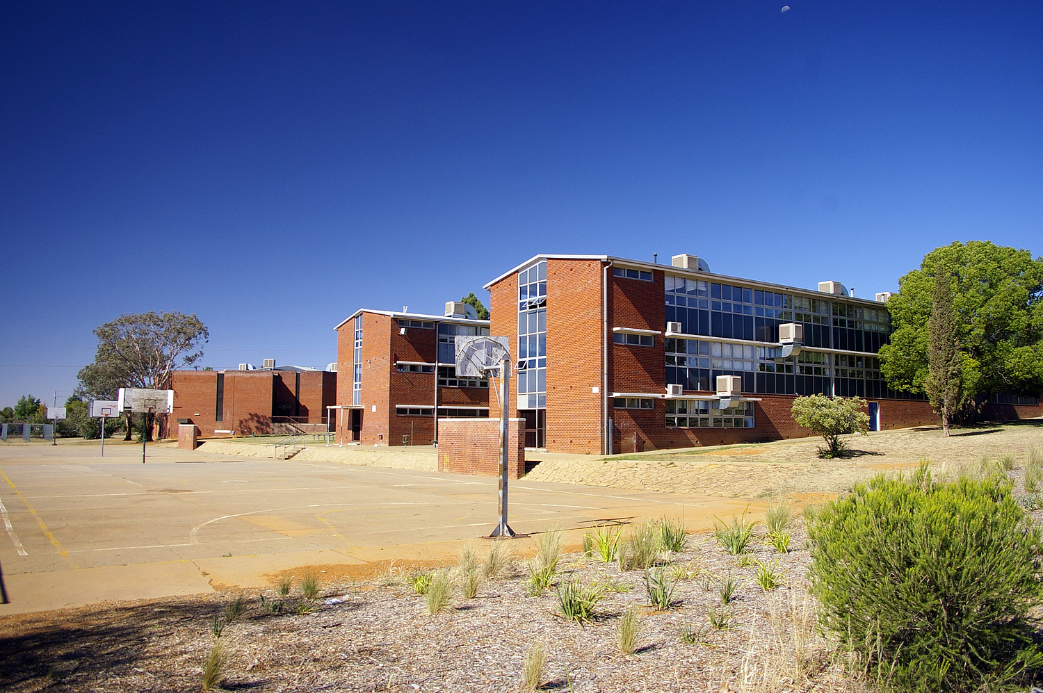
Mount Austin High School
-
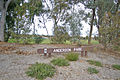
Anderson Park, Glenfield Road, Mount Austin
-
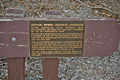
The Memorial Plaque at Anderson Park, Glenfield Road, Mount Austin
References
- ^ Australian Bureau of Statistics (25 October 2007). "Mount Austin (State Suburb)". 2006 Census QuickStats. http://www.censusdata.abs.gov.au/ABSNavigation/prenav/LocationSearch?collection=Census&period=2006&areacode=SSC18181&producttype=QuickStats&breadcrumb=PL&action=401. Retrieved 2008-06-29.
External links
 Media related to Mount Austin, New South Wales at Wikimedia Commons
Suburbs and Towns in the City of Wagga Wagga Local Government Area Suburbs: Ashmont · Bomen · Bourkelands · Boorooma · Cartwrights Hill · Charles Sturt University · Downside · East Wagga Wagga · Estella · Eunanoreenya · Forest Hill · Glenfield Park · Gobbagombalin · Gregadoo · Gumly Gumly · Kapooka · Kooringal · Lake Albert · Lloyd · Moorong · Mount Austin · North Wagga Wagga · San Isidore · Springvale · The Gap · Tatton · Tolland · Turvey Park · Wagga Wagga
Outlying Towns: Alfredtown · Burrandana · Collingullie · Currawarna · Galore · Humula · Ladysmith · Mangoplah · Oura · Tarcutta · UranquintyMain Article: Local Government Areas of New South WalesCategories:- Suburbs of Wagga Wagga
- Riverina geography stubs
-
Wikimedia Foundation. 2010.