- Estella, New South Wales
Infobox Australian Place | type = suburb
name = Estella
city = Wagga Wagga
state = nsw

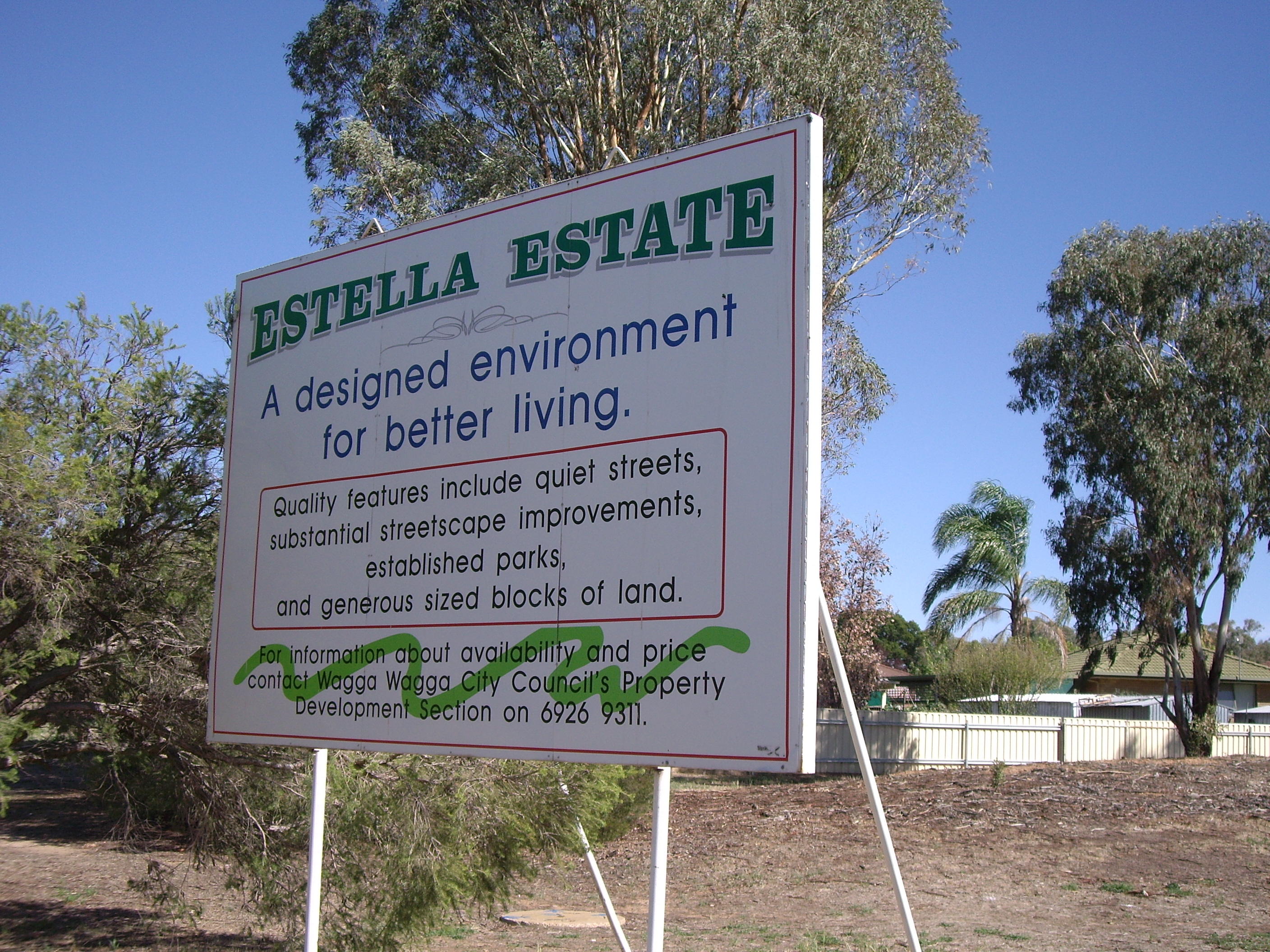
caption = Entering Estella
lga =City of Wagga Wagga
postcode = 2650
est = 1980's
pop = 1,536Census 2006 AUS
id = SSC17129
name = Estella (State Suburb)
quick = on
accessdate = 2008-06-29]
area =
propval =
parish = North Wagga Wagga
county = Clarendon
stategov = Wagga Wagga
fedgov = Riverina
near-nw = The Gap
near-n = Downside
near-ne = Brucedale
near-w = Gobbagombalin
near-e = Cartwrights Hill
near-sw =
near-s = Wagga Wagga
near-se = Boorooma
dist1 =
location1=Estella is a northern suburb of Wagga Wagga,
New South Wales ,Australia . The suburb is relatively new with development commencing in the 1980s, however growth has been slow and land is still being subdivided.The suburb is located directly to the south of
Charles Sturt University , and to the west of Boorooma. The southern and western boundaries of the suburb are Old Narrendera Road and Pine Gully Road respectively.References
Wikimedia Foundation. 2010.
