- Charles Sturt University, New South Wales
-
Charles Sturt University
Wagga Wagga, New South Wales
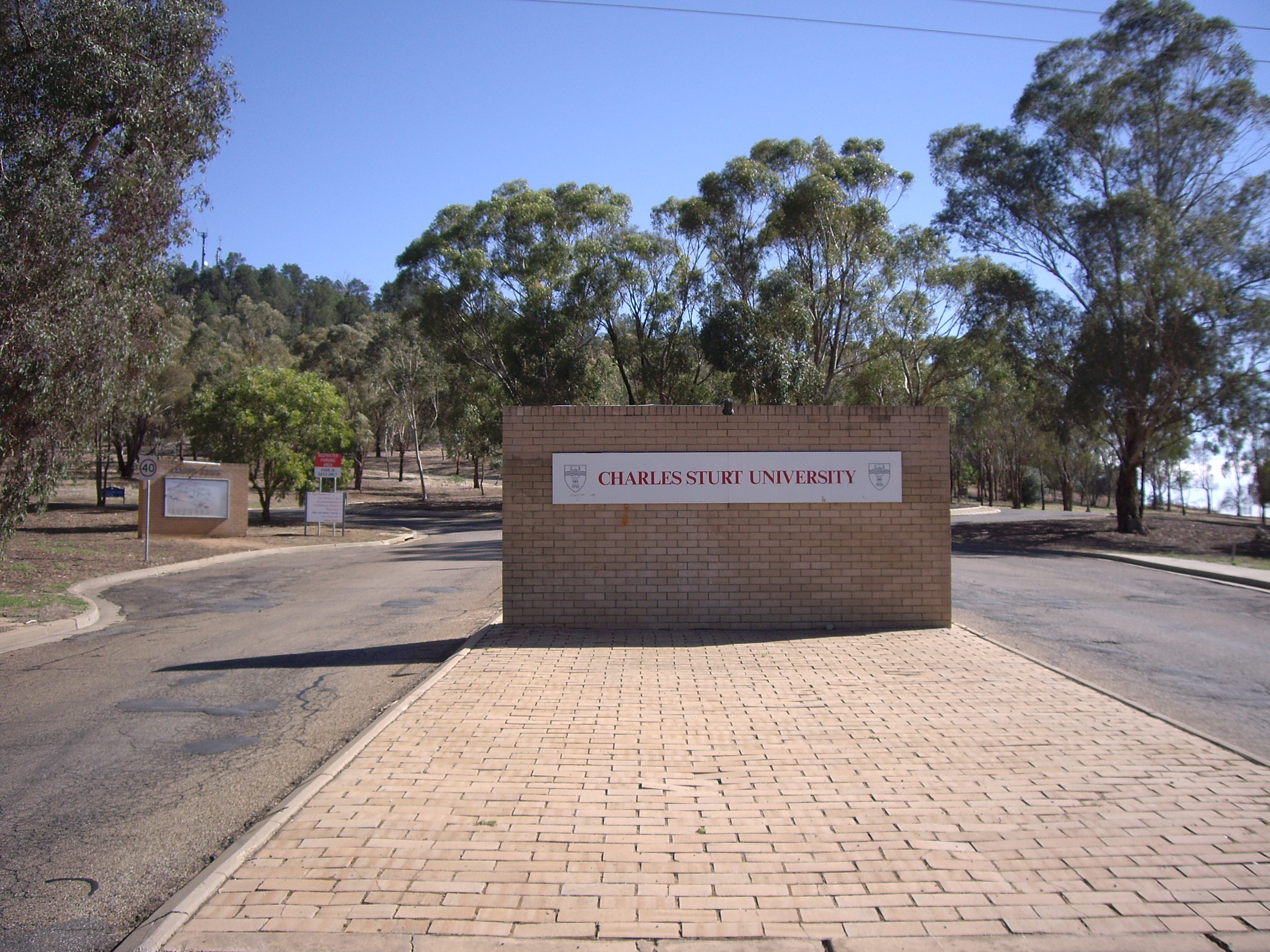
Charles Sturt University entrancePostcode: 2678 LGA: City of Wagga Wagga County: Clarendon Parish: Gobbagombalin State District: Wagga Wagga Federal Division: Riverina Suburbs around Charles Sturt University: The Gap Downside Brucedale Gobbagombalin Charles Sturt University Cartwrights Hill Estella Boorooma Charles Sturt University is a suburb and location for Charles Sturt University's Wagga Wagga Campus is located approximately 2.5 kilometres from Estella.[1]
References
- ^ "Geographical Names Register Extract". New South Wales Government. Geographical Names Board of New South Wales. 1996-07-05. http://www.gnb.nsw.gov.au/name_search/extract?id=KWwGvqsEGH. Retrieved 2009-02-06.
External links
 Media related to Charles Sturt University, New South Wales at Wikimedia Commons
Suburbs and Towns in the City of Wagga Wagga Local Government Area Suburbs: Ashmont · Bomen · Bourkelands · Boorooma · Cartwrights Hill · Charles Sturt University · Downside · East Wagga Wagga · Estella · Eunanoreenya · Forest Hill · Glenfield Park · Gobbagombalin · Gregadoo · Gumly Gumly · Kapooka · Kooringal · Lake Albert · Lloyd · Moorong · Mount Austin · North Wagga Wagga · San Isidore · Springvale · The Gap · Tatton · Tolland · Turvey Park · Wagga Wagga
Outlying Towns: Alfredtown · Burrandana · Collingullie · Currawarna · Galore · Humula · Ladysmith · Mangoplah · Oura · Tarcutta · UranquintyMain Article: Local Government Areas of New South WalesCoordinates: 35°03′28″S 147°21′16″E / 35.05778°S 147.35444°E
Categories:- Suburbs of Wagga Wagga
Wikimedia Foundation. 2010.