Kapooka, New South Wales

Kapooka, New South Wales

Infobox Australian Place | type = suburb
name = Kapooka
city = Wagga Wagga
state = nsw
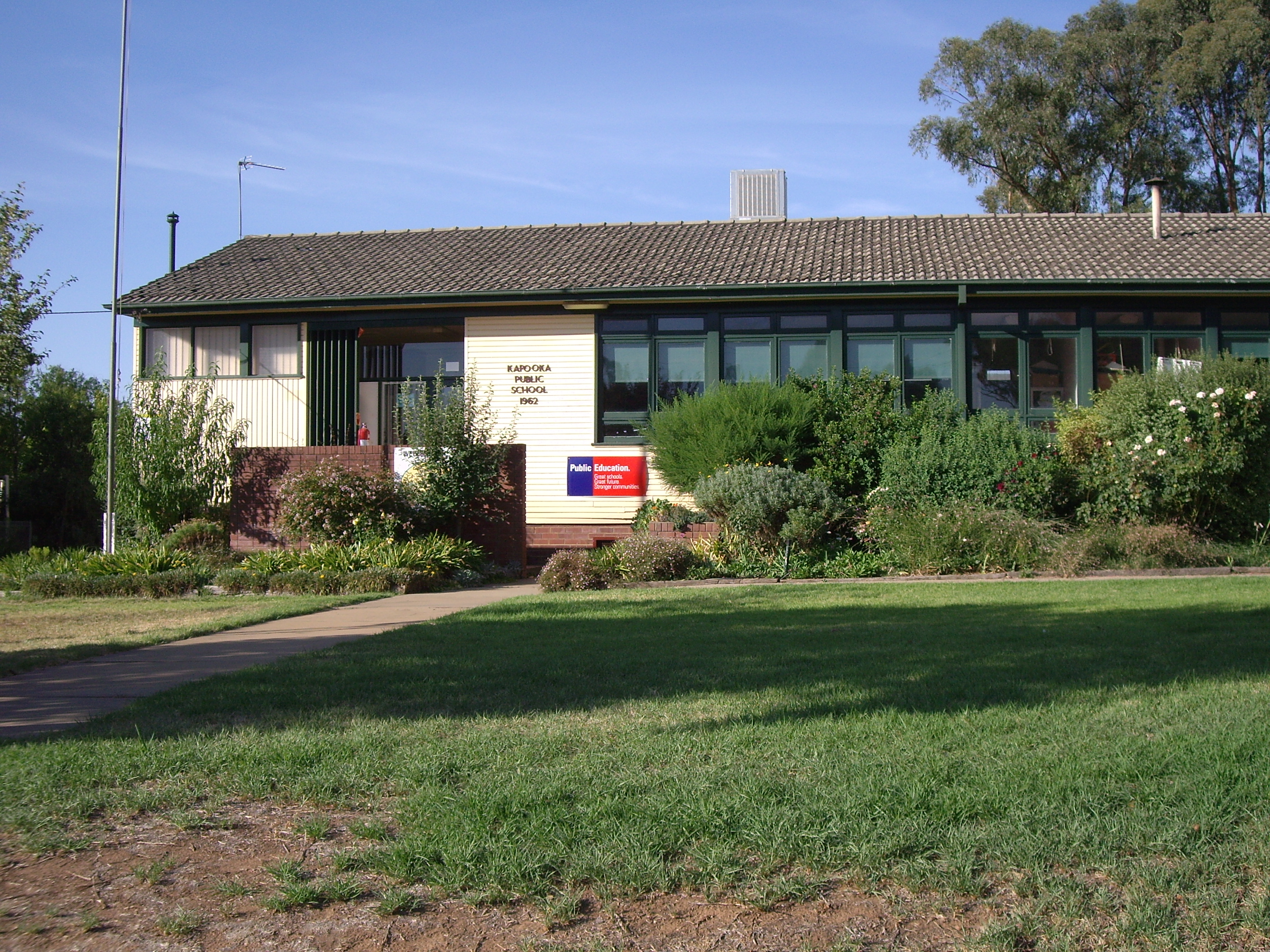


caption = Kapooka Public School
lga = City of Wagga Wagga
postcode = 2661
coordinates = coord|35|9|7.66|S|147|18|7.48|E|display=inline,title
est =
pop = 746 [ [http://www8.abs.gov.au/ABSNavigation 2001 Quick Stats Kapooka] ]
area =
propval =
parish = Uranquinty
county = Mitchell
stategov = Wagga Wagga
fedgov = Riverina
near-nw =
near-n =
near-ne =
near-w =
near-e =
near-sw =
near-s =
near-se =
dist1 = 9
location1= Wagga Wagga CBD
dist2 = 8
location2= Uranquinty

Kapooka is a suburb in the south west of Wagga Wagga, New South Wales, Australia. [ [http://www.gnb.nsw.gov.au/name_search/extract?id=MalpvqsEKW Geographical Names Board of NSW] ]

The suburb of Kapooka is home to the Department of Defence's Blamey Barracks from where the Army Recruit Training Centre conducts its operations.

It is located on the Olympic Way, between Wagga Wagga and Uranquinty.

References


Wikimedia Foundation. 2010.

Игры ⚽ Поможем написать курсовую

Look at other dictionaries:

  • Moorong, New South Wales — Moorong Wagga Wagga, New South Wales Moorong Geodetic Station on top of Mount Moorong. Populat …   Wikipedia

  • Oura, New South Wales — Oura New South Wales Entering Oura …   Wikipedia

  • Lloyd, New South Wales — Infobox Australian Place | type = suburb name = Lloyd city = Wagga Wagga state = nsw caption = Suburb of Lloyd lga = City of Wagga Wagga postcode = 2650 coordinates = coord|35|8|42.46|S|147|21|7.48|E|display=inline,title est = pop = area =… …   Wikipedia

  • Downside, New South Wales — Downside New South Wales St Stephens Downside …   Wikipedia

  • Ashmont, New South Wales — Infobox Australian Place | type = suburb name = Ashmont city = Wagga Wagga state = nsw caption = Ashmont Mall lga = City of Wagga Wagga postcode = 2650 coordinates = coord|35|7|37.66|S|147|19|55.48|E|display=inline,title est = pop = 4,112Census… …   Wikipedia

  • Wagga Wagga, New South Wales — Infobox Australian Place type=city name=Wagga Wagga state=New South Wales caption=Looking down Baylis Street lga=City of Wagga Wagga county=Wynyard Clarendon stategov=Wagga Wagga fedgov=Riverina elevation=147 maxtemp = 22.0 mintemp = 9.0 rainfall …   Wikipedia

  • Main Southern railway line, New South Wales — [v · New Binalong station on 1916 alignment Gauge: 1,435 mm (4 ft 8 1 …   Wikipedia

  • Charles Sturt University, New South Wales — Charles Sturt University Wagga Wagga, New South Wales Charles Sturt University entrance Postcode …   Wikipedia

  • Mount Austin, New South Wales — Mount Austin Wagga Wagga, New South Wales Mount Austin suburb sign Population …   Wikipedia

  • Glenfield Park, New South Wales — Infobox Australian Place | type = suburb name = Glenfield Park city = Wagga Wagga state = nsw caption = South City Shopping Centre, Glenfield Park lga = City of Wagga Wagga postcode = 2650 coordinates =… …   Wikipedia

Share the article and excerpts

Direct link
Do a right-click on the link above
and select “Copy Link”