Lloyd, New South Wales

Lloyd, New South Wales

Infobox Australian Place | type = suburb
name = Lloyd
city = Wagga Wagga
state = nsw


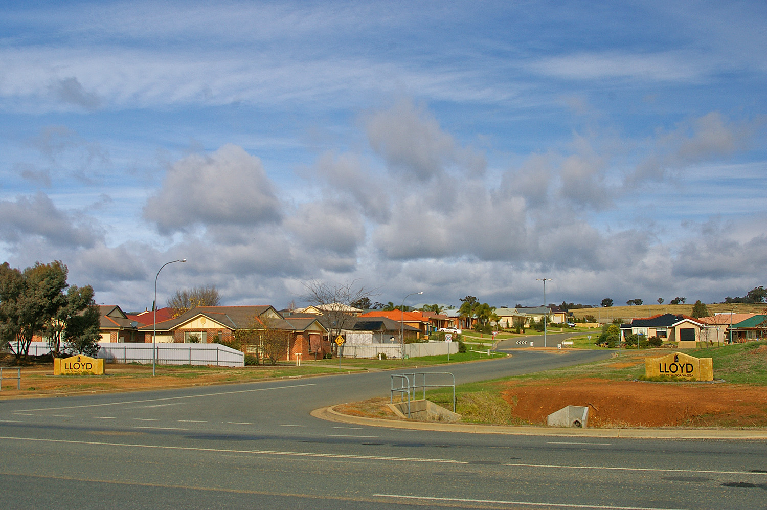
caption = Suburb of Lloyd
lga = City of Wagga Wagga
postcode = 2650
coordinates = coord|35|8|42.46|S|147|21|7.48|E|display=inline,title
est =
pop =
area =
propval =
parish = South Wagga Wagga
county = Wynyard
stategov = Wagga Wagga
fedgov = Riverina
near-nw = Glenfield Park
near-n = Glenfield Park
near-ne = Tolland
near-w = Kapooka
near-e = Bourkelands
near-sw = Kapooka
near-s = Springvale
near-se = Bourkelands
dist1 =
location1=

Lloyd is Wagga Wagga, New South Wales, Australia's newest suburb. It is located to the south-west of the city, to the west of Jubilee Park and Holbrook (Mangoplah) Road, and to the south of Red Hill Road. Development of the suburb commenced in the late 1990s and to date there are only residential dwellings present within its confines.

References


Wikimedia Foundation. 2010.

Игры ⚽ Нужно решить контрольную?

Look at other dictionaries:

  • New South Wales Crime Commission — Common name NSW Crime Commission Abbreviation NSWCC Logo of the New South Wales Crime Commission …   Wikipedia

  • Balmain, New South Wales — Infobox Australian Place | type = suburb name = Balmain city = Sydney state = nsw |Darling Street, Balmain caption = Darling Street lga = Municipality of Leichhardt postcode = 2041 est = 1836 pop = 9,010 (2001 census) area = 1.5 propval =… …   Wikipedia

  • Merewether, New South Wales — Merewether Newcastle, New South Wales Merewether Beach. Po …   Wikipedia

  • Downside, New South Wales — Downside New South Wales St Stephens Downside …   Wikipedia

  • Oura, New South Wales — Oura New South Wales Entering Oura …   Wikipedia

  • Moorong, New South Wales — Moorong Wagga Wagga, New South Wales Moorong Geodetic Station on top of Mount Moorong. Populat …   Wikipedia

  • Bathurst, New South Wales — Infobox Australian Place | type = town name = Bathurst state = nsw caption = Location of Bathurst in New South Wales (red) lga = Bathurst Regional Council postcode = 2795 pop = 37,001 est = 1815 elevation= 650 maxtemp = 19.8 mintemp = 6.7… …   Wikipedia

  • Northmead, New South Wales — Northmead Sydney, New South Wales The Junction, Windsor Road Postcode …   Wikipedia

  • Northwood, New South Wales — Northwood Sydney, New South Wales Northwood Wharf Population …   Wikipedia

  • Kincumber, New South Wales — Infobox Australian Place | type = suburb name = Kincumber city = Central Coast state = nsw caption = lga = City of Gosford postcode = 2251 pop = 7,140 (2006 census) area = 8.0 est = parish = Kincumber stategov = Terrigal fedgov = Robertson dist1 …   Wikipedia

Share the article and excerpts

Direct link
Do a right-click on the link above
and select “Copy Link”