Glenfield Park, New South Wales
- Glenfield Park, New South Wales
Infobox Australian Place | type = suburb
name = Glenfield Park
city = Wagga Wagga
state = nsw
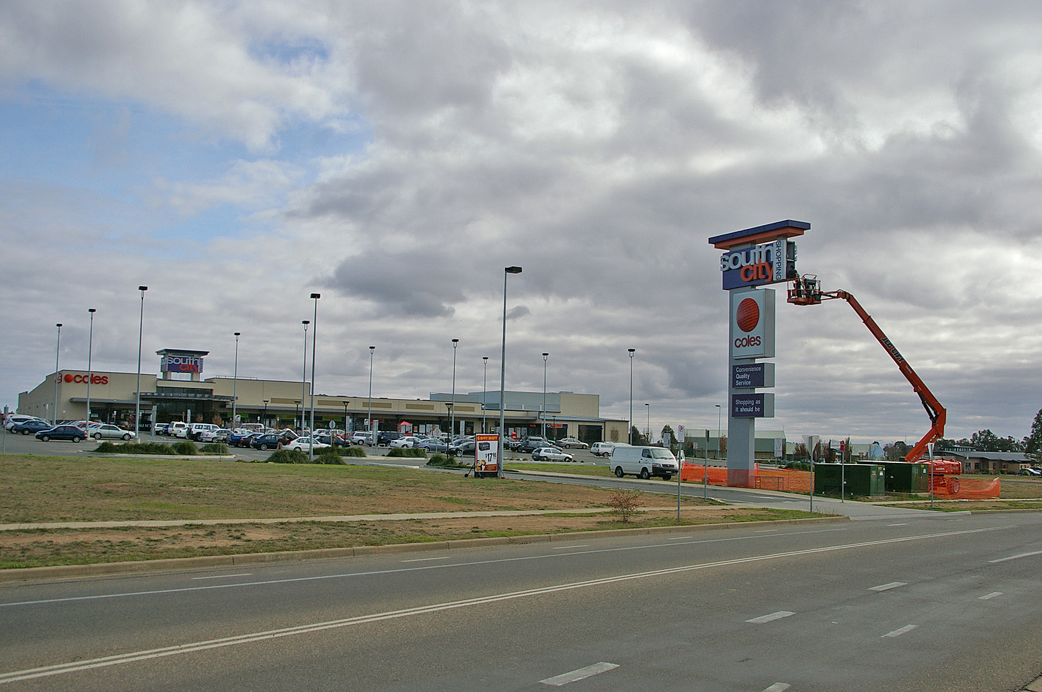
caption = South City Shopping Centre, Glenfield Park
lga = City of Wagga Wagga
postcode = 2650
coordinates = coord|35|8|10.06|S|147|19|55.48|E|display=inline,title
est =
pop = 4,714[Census 2006 AUS]
id = SSC17299
name = Glenfield Park (State Suburb)
quick = on
accessdate = 2008-06-29]
area =
propval =
parish = South Wagga Wagga
county = Wynyard
stategov = Wagga Wagga
fedgov = Riverina
near-nw = San Isidore
near-n = Ashmont
near-ne = Turvey Park
near-w =
near-e = Mount Austin
near-sw = Kapooka
near-s = Llyod
near-se = Tolland
dist1 =
location1= Glenfield Park is a rapidly growing southern suburb of Wagga Wagga, New South Wales, Australia. Glenfield Park's strong residential development is due to its situation so close to the outskirts of the city, giving the opportunity for new housing estates to be erected regularly. The suburb is home to a large shopping centre known as South City Shopping Centre that is home to Wagga's second Coles supermarket.
References
Wikimedia Foundation.
2010.
Look at other dictionaries:
Turvey Park, New South Wales — Infobox Australian Place | type = suburb name = Turvey Park city = Wagga Wagga state = nsw caption = Turvey Tops Shopping Centre lga = City of Wagga Wagga postcode = 2650 coordinates = coord|35|7|34.06|S|147|21|25.48|E|display=inline,title est =… … Wikipedia
Menangle Park, New South Wales — Menangle Park Sydney, New South Wales Menangle Park station Population … Wikipedia
Edmondson Park, New South Wales — Infobox Australian Place | type = suburb name = Edmondson Park city = Sydney state = nsw caption = lga = City of Liverpool postcode = 2174 pop = est = area = propval = stategov = Macquarie Fields fedgov = Werriwa near nw = Horningsea Park near n … Wikipedia
Glenfield, New South Wales — Infobox Australian Place | type = suburb name = Glenfield city = Sydney state = nsw caption = Glefield railway station lga = City of Campbelltown postcode = 2167 pop = 6,800 (2006) est = 1881 area = propval = stategov = Macquarie Fields fedgov =… … Wikipedia
List of Government schools in New South Wales: A–F — The New South Wales Department of Education and Training (DET) is a department of the Government of New South Wales. In addition to other responsibilities, it operates primary schools and secondary schools throughout the state. Contents 1 A 2 B 3 … Wikipedia
Mount Austin, New South Wales — Mount Austin Wagga Wagga, New South Wales Mount Austin suburb sign Population … Wikipedia
Wagga Wagga, New South Wales — Infobox Australian Place type=city name=Wagga Wagga state=New South Wales caption=Looking down Baylis Street lga=City of Wagga Wagga county=Wynyard Clarendon stategov=Wagga Wagga fedgov=Riverina elevation=147 maxtemp = 22.0 mintemp = 9.0 rainfall … Wikipedia
Denham Court, New South Wales — Denham Court Sydney, New South Wales Denham Court Anglican Church Population … Wikipedia
Campbelltown City (New South Wales) — City of Campbelltown Lage der Campbelltown City in Sydney Gliederung … Deutsch Wikipedia
Minto Heights, New South Wales — Minto Heights Sydney, New South Wales Postcode: 2566 Location: 50 km (31 mi) southwest of Sydney LGA … Wikipedia