Bourkelands, New South Wales
- Bourkelands, New South Wales
Infobox Australian Place | type = suburb
name = Bourkelands
city = Wagga Wagga
state = nsw
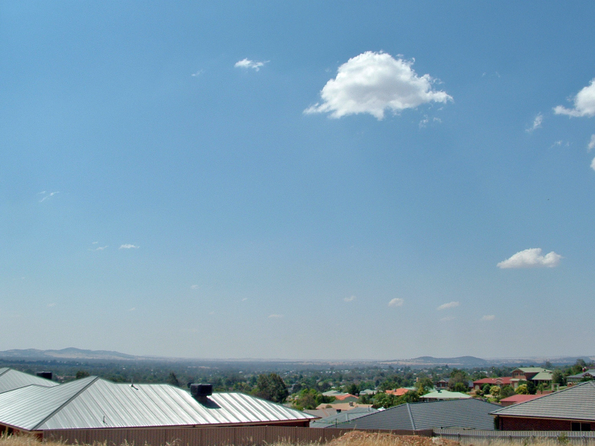
caption = View over Bourkelands
lga = City of Wagga Wagga
postcode = 2650
coordinates = coord|35|9|14.86|S|147|21|3.88|E|display=inline,title
est =
pop = 1,768 (2006) [Census 2006 AUS|id= SSC16431|name=Bourkelands (State Suburb)|quick=on|accessdate=2008-05-25]
area =
propval =
parish = South Wagga Wagga
county = Wynyard
stategov = Wagga Wagga
fedgov = Riverina
near-nw = Glenfield Park
near-n = Tolland
near-ne = Kooringal
near-w = Lloyd
near-e = Tatton
near-sw = Springvale
near-s = Springvale
near-se = Lake Albert
dist1 =
location1=
Bourkelands is a rapidly-developing southern suburb of Wagga Wagga in southern New South Wales, Australia which is named after a property which was located within the suburb. The suburb consists predominantly of real estate display homes and housing for military staff at the nearby RAAF Base Wagga and Army Recruit Training Centre. The suburb borders Red Hill Road and is within walking distance of the Tolland shopping centre and Jubilee Park/Oval and contains two play parks.
A large Mormon church was constructed in the suburb in 2005.
References
Wikimedia Foundation.
2010.
Look at other dictionaries:
Oura, New South Wales — Oura New South Wales Entering Oura … Wikipedia
Lloyd, New South Wales — Infobox Australian Place | type = suburb name = Lloyd city = Wagga Wagga state = nsw caption = Suburb of Lloyd lga = City of Wagga Wagga postcode = 2650 coordinates = coord|35|8|42.46|S|147|21|7.48|E|display=inline,title est = pop = area =… … Wikipedia
Downside, New South Wales — Downside New South Wales St Stephens Downside … Wikipedia
Springvale, New South Wales — Infobox Australian Place | type = suburb name = Springvale city = Wagga Wagga state = nsw caption = Holbrook Road at Springvale. lga = City of Wagga Wagga postcode = 2650 coordinates = coord|35|10|7.02|S|147|20|3.33|E|display=inline,title est =… … Wikipedia
Moorong, New South Wales — Moorong Wagga Wagga, New South Wales Moorong Geodetic Station on top of Mount Moorong. Populat … Wikipedia
Tatton, New South Wales — Infobox Australian Place | type = suburb name = Tatton city = Wagga Wagga state = nsw caption = Tamar Drive in Tatton lga = City of Wagga Wagga postcode = 2650 coordinates = coord|35|9|25.66|S|147|21|43.48|E|display=inline,title est = pop =… … Wikipedia
Tolland, New South Wales — Infobox Australian Place | type = suburb name = Tolland city = Wagga Wagga state = nsw caption = Tolland Shopping Centre lga = City of Wagga Wagga postcode = 2650 coordinates = coord|35|8|42.46|S|147|21|7.48|E|display=inline,title est = pop =… … Wikipedia
Charles Sturt University, New South Wales — Charles Sturt University Wagga Wagga, New South Wales Charles Sturt University entrance Postcode … Wikipedia
Mount Austin, New South Wales — Mount Austin Wagga Wagga, New South Wales Mount Austin suburb sign Population … Wikipedia
City of Wagga Wagga — Wagga Wagga New South Wales Population: 62,904(2009) … Wikipedia