- Moorong, New South Wales
-
Moorong
Wagga Wagga, New South Wales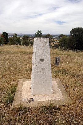
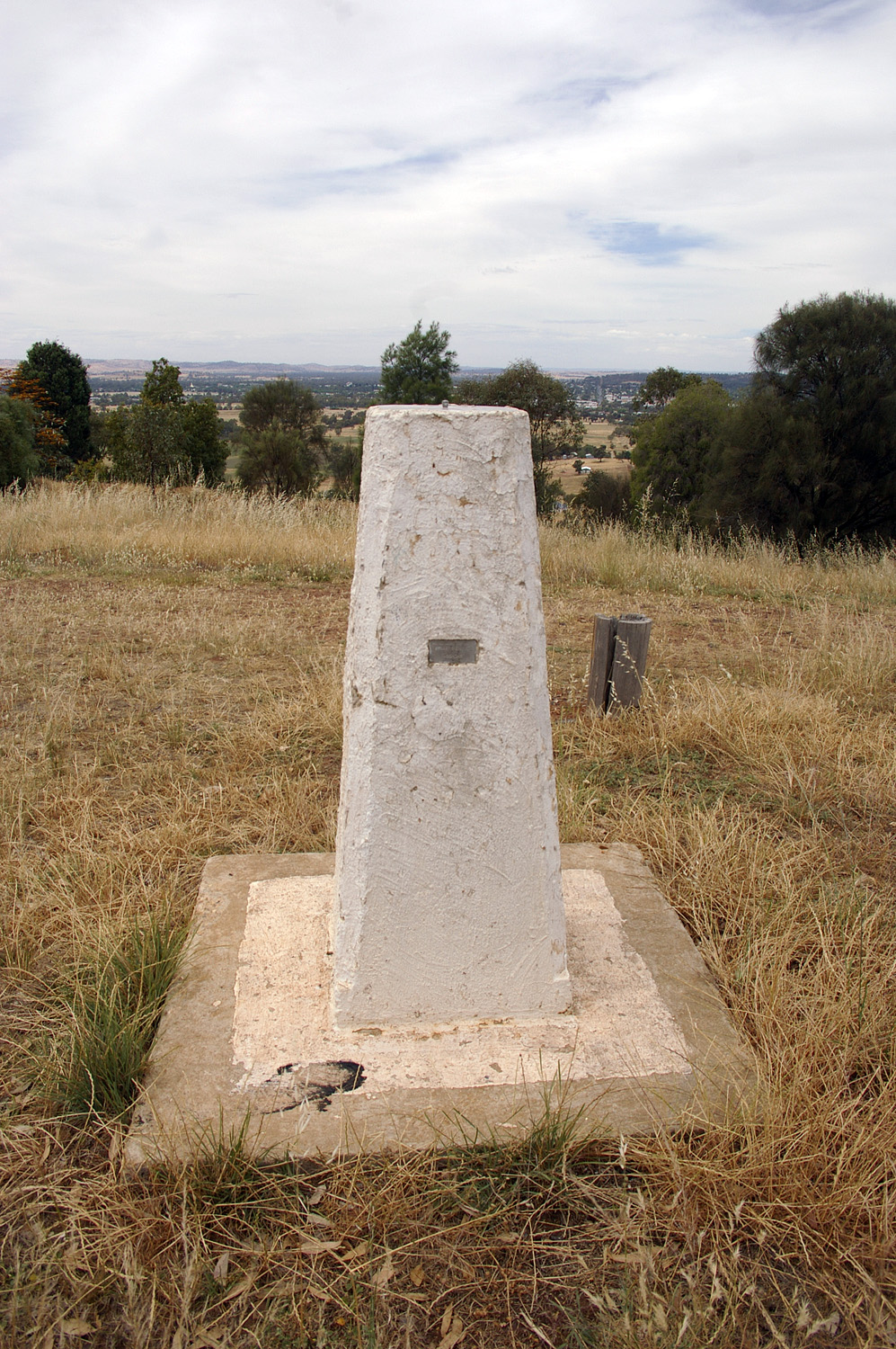
Moorong Geodetic Station on top of Mount Moorong.Population: 76[1] Postcode: 2650 Coordinates: 35°6′50.64″S 147°18′54.96″E / 35.1140667°S 147.3152667°ECoordinates: 35°6′50.64″S 147°18′54.96″E / 35.1140667°S 147.3152667°E LGA: City of Wagga Wagga County: Wynyard Parish: South Wagga Wagga State District: Wagga Wagga Federal Division: Riverina Suburbs around Moorong: Malebo Gobbagombalin Gobbagombalin San Isidore Moorong Wagga Wagga San Isidore Kapooka Ashmont Moorong, is a small suburb west of Wagga Wagga, New South Wales, Australia. The suburb is named after the pastoral property "Moorong" which is an Aboriginal word for the Wiradjuri Tribe meaning "Bleak" or "Cold" with other meanings "Bark Shelter" and "Camping Ground".[2] Flowerdale Lagoon and Pomingalarna Reserve are located within the suburb.
References
- ^ Australian Bureau of Statistics (25 October 2007). "Moorong (State Suburb)". 2006 Census QuickStats. http://www.censusdata.abs.gov.au/ABSNavigation/prenav/LocationSearch?collection=Census&period=2006&areacode=SSC18145&producttype=QuickStats&breadcrumb=PL&action=401. Retrieved 2008-11-15.
- ^ Ellis, W (1984). The Street Names of Wagga Wagga. Wagga Wagga City Council, Wagga Wagga.
External links
 Media related to Moorong, New South Wales at Wikimedia Commons
Suburbs and Towns in the City of Wagga Wagga Local Government Area Suburbs: Ashmont · Bomen · Bourkelands · Boorooma · Cartwrights Hill · Charles Sturt University · Downside · East Wagga Wagga · Estella · Eunanoreenya · Forest Hill · Glenfield Park · Gobbagombalin · Gregadoo · Gumly Gumly · Kapooka · Kooringal · Lake Albert · Lloyd · Moorong · Mount Austin · North Wagga Wagga · San Isidore · Springvale · The Gap · Tatton · Tolland · Turvey Park · Wagga Wagga
Outlying Towns: Alfredtown · Burrandana · Collingullie · Currawarna · Galore · Humula · Ladysmith · Mangoplah · Oura · Tarcutta · UranquintyMain Article: Local Government Areas of New South WalesCategories:- Suburbs of Wagga Wagga
- Riverina geography stubs
- Australian Aboriginal placenames
Wikimedia Foundation. 2010.