- Müggelheim
-
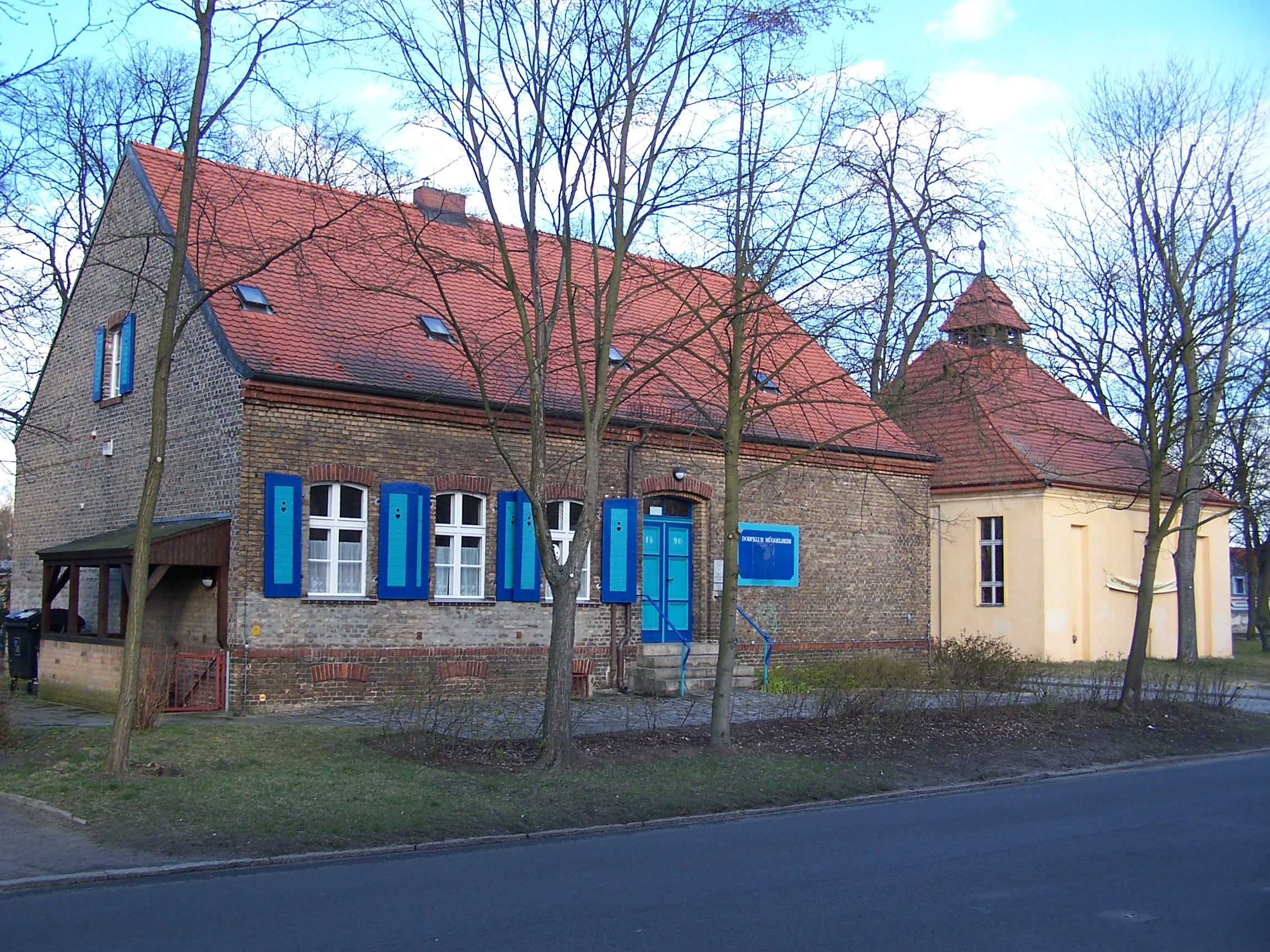
Müggelheim Quarter of Berlin Old school and village church


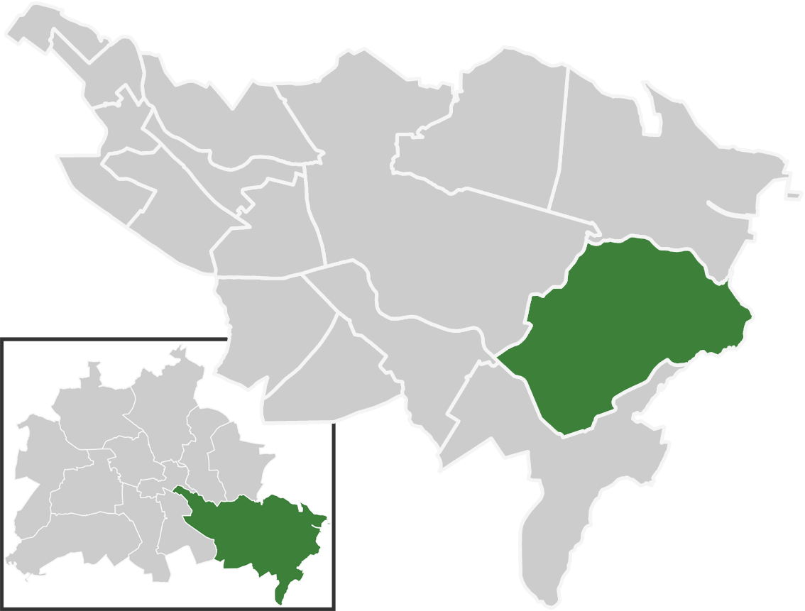
 MüggelheimLocation of Müggelheim in Treptow-Köpenick and Berlin
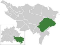
Coordinates 52°24′0″N 13°39′0″E / 52.4°N 13.65°ECoordinates: 52°24′0″N 13°39′0″E / 52.4°N 13.65°E Administration Country Germany State Berlin City Berlin Borough Treptow-Köpenick Quarter subdivisions 3 zones Basic statistics Area 22.2 km2 (8.6 sq mi) Elevation 34 m (112 ft) Population 6,350 (31 December 2008) - Density 286 /km2 (741 /sq mi) Founded 1747 Other information Time zone CET/CEST (UTC+1/+2) Licence plate B Postal codes (nr. 0914) 12559 Website Official website  The Große Krampe at Krampenburg
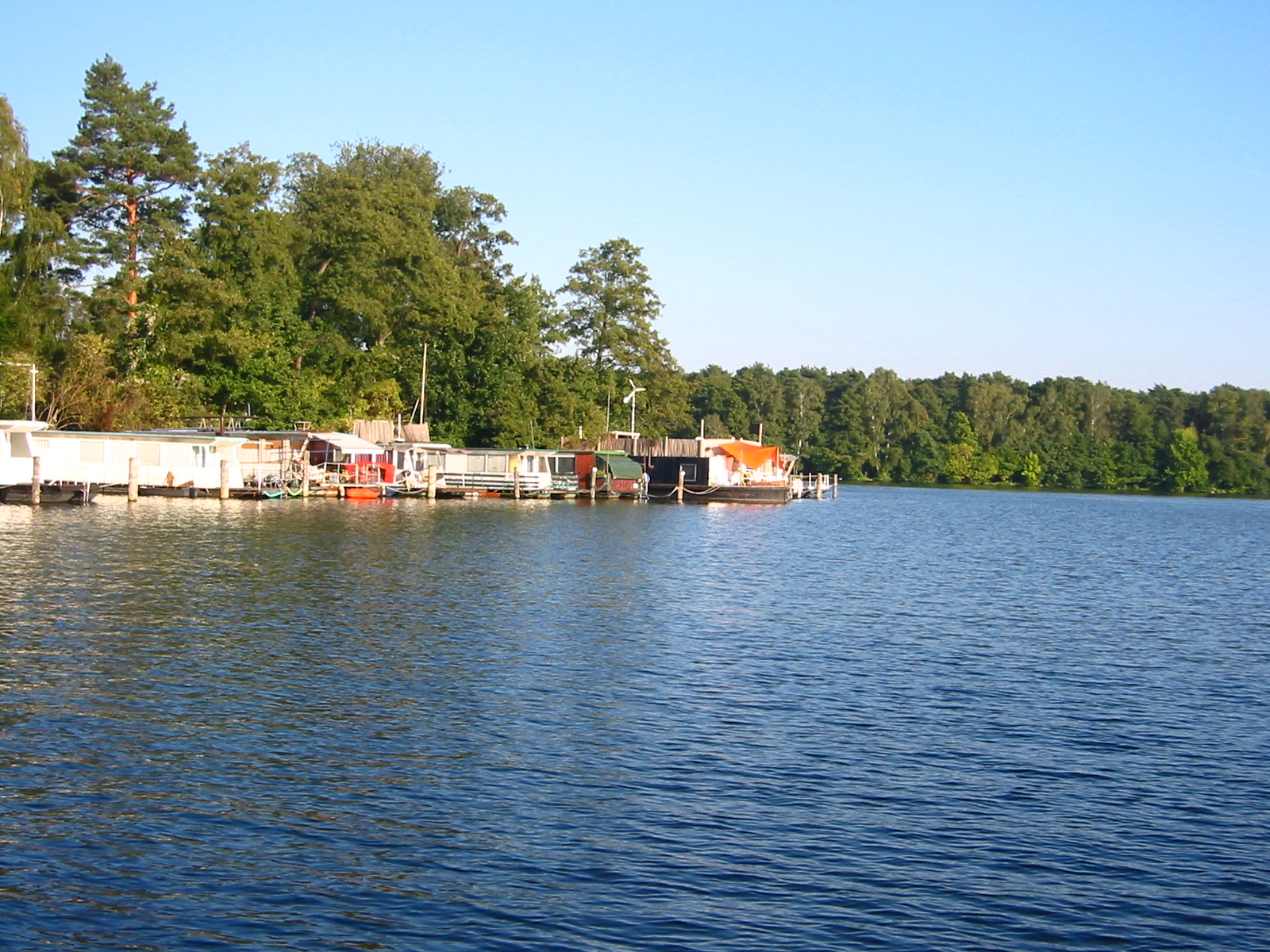
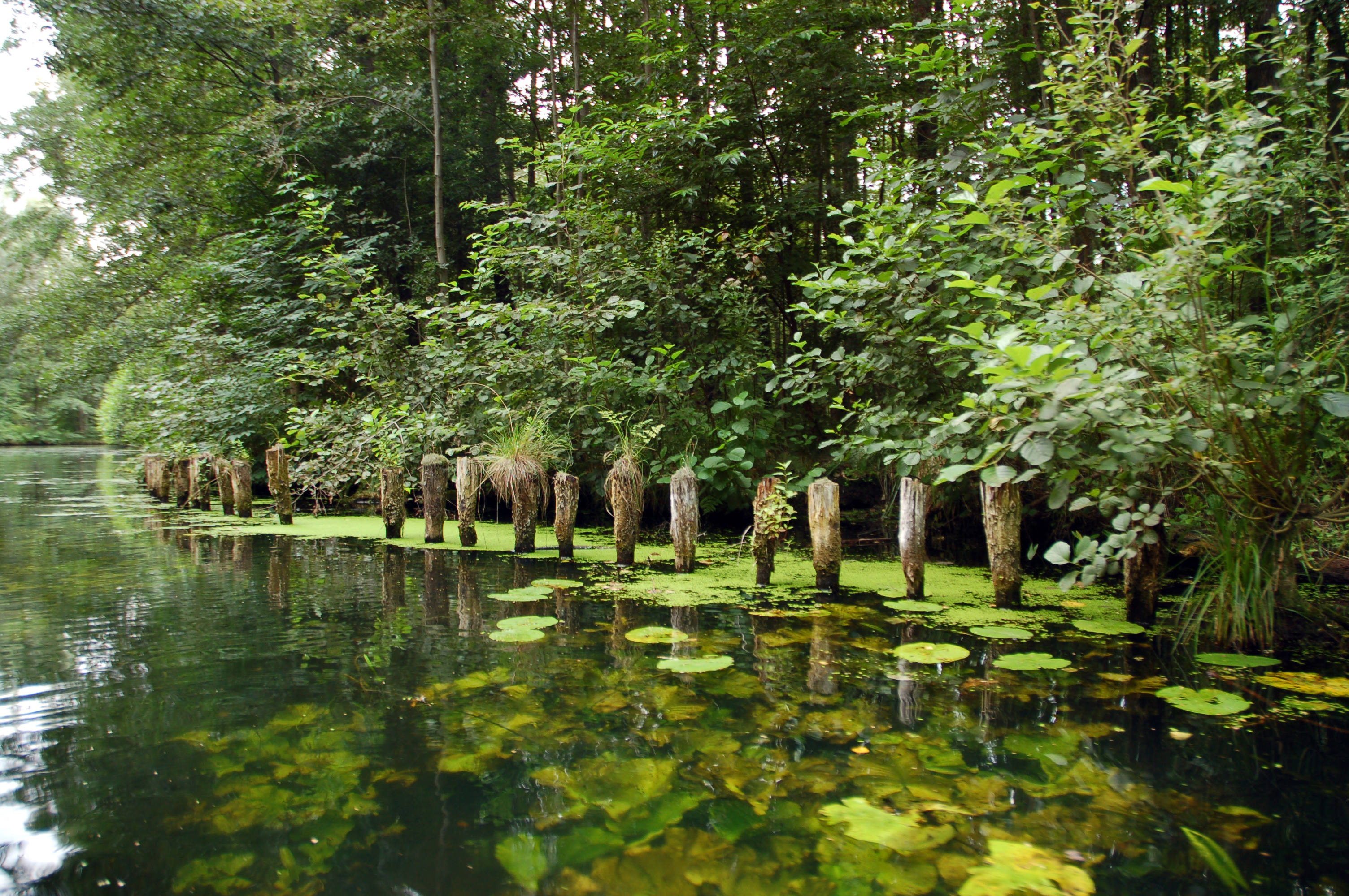
Müggelheim is a German locality (Ortsteil) within the Berlin borough (Bezirk) of Treptow-Köpenick. Until 2001 it was part of the former borough of Köpenick.
Contents
History
The village was founded on June 1, 1747, by 20 families from Odernheim am Glam, in Rhineland-Palatinate [1]. Still 1920 it was an autonomous municipality, the lesser-populated one (186 inhabitants) merging into the German capital with the "Greater Berlin Act".[2]
Geography
Overview
Müggelheim, sourrounded by the Berliner Stadtforst [3], is located in the south-eastern suburb of Berlin, at the borders with the Brandenburger municipalities of Erkner and Gosen-Neu Zittau, Oder-Spree district. It borders with the Berliner localities of Rahnsdorf, Köpenick, Grünau and Schmöckwitz.
The lakes Seddinsee and Langer See are the southern borders of the locality, who has got in its territory other three lakes which are the Große Krampe, a little portion of the Müggelsee (named Kleiner Müggelsee), and the little Bauersee.
Subdivision
Müggelheim counts three zones (Ortslagen):
- Krampenburg
- Ludwigshöhe
- Siedlung Schönhorst
Transport
The locality is not served by urban rails: nearest S-Bahn station is Wilhelmshagen, located in Rahnsdorf. It is served by the bus lines M69 and 369, and by the ferry lines F21 (from Krampenburg to Schmöckwitz), F23 (from Müggelwerderweg to Kruggasse, in Rahnsdorf) and F24 (from Spreewiesen to Kruggasse).
Photogallery
-
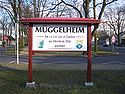
Welcome board of the locality
-
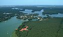
Seddinsee with the village of Schmöckwitz. In the north is the Große Krampe with Krampenburg [4] and the Berliner Stadtforst.
-
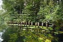
View of the Gosen Canal
References
- ^ (German) History of Müggelheim on its official website
- ^ (German) Historical infos on www.koepenick.net
- ^ One of the largest forests in Berlin
- ^ The little peninsula in front of Schmöckwitz
External links
 Media related to Müggelheim at Wikimedia Commons
- (German) Müggelheim official site
- (German) Müggelheim page on www.berlin.de
Districts and localities of Berlin  Charlottenburg-Wilmersdorf
 Friedrichshain-Kreuzberg
 LichtenbergAlt-Hohenschönhausen • Falkenberg • Fennpfuhl • Friedrichsfelde • Karlshorst • Lichtenberg • Malchow • Neu-Hohenschönhausen • Rummelsburg • Wartenberg
 Marzahn-Hellersdorf
 Mitte
Mitte Neukölln
 PankowBlankenburg • Blankenfelde • Buch • Französisch Buchholz • Heinersdorf • Karow • Niederschönhausen • Pankow • Prenzlauer Berg • Rosenthal • Stadtrandsiedlung Malchow • Weißensee • Wilhelmsruh
 ReinickendorfFrohnau • Heiligensee • Hermsdorf • Konradshöhe • Lübars • Märkisches Viertel • Reinickendorf • Tegel • Waidmannslust • Wittenau
 SpandauFalkenhagener Feld • Gatow • Hakenfelde • Haselhorst • Kladow • Siemensstadt • Spandau • Staaken • Wilhelmstadt
 Steglitz-Zehlendorf
 Tempelhof-Schöneberg
 Treptow-KöpenickAdlershof • Alt-Treptow • Altglienicke • Baumschulenweg • Bohnsdorf • Friedrichshagen • Grünau • Johannisthal • Köpenick • Müggelheim • Niederschöneweide • Oberschöneweide • Plänterwald • Rahnsdorf • SchmöckwitzDistricts > Localities > Zones • Greater Berlin Act • Former boroughsCategories:
- Populated places established in 1747
- Localities of Berlin
- Treptow-Köpenick


Wikimedia Foundation. 2010.