- Mountain Ash, Rhondda Cynon Taf
-
Coordinates: 51°40′53″N 3°22′45″W / 51.68139°N 3.37916°W
Mountain Ash Welsh: Aberpennar 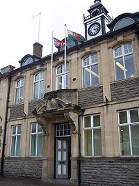
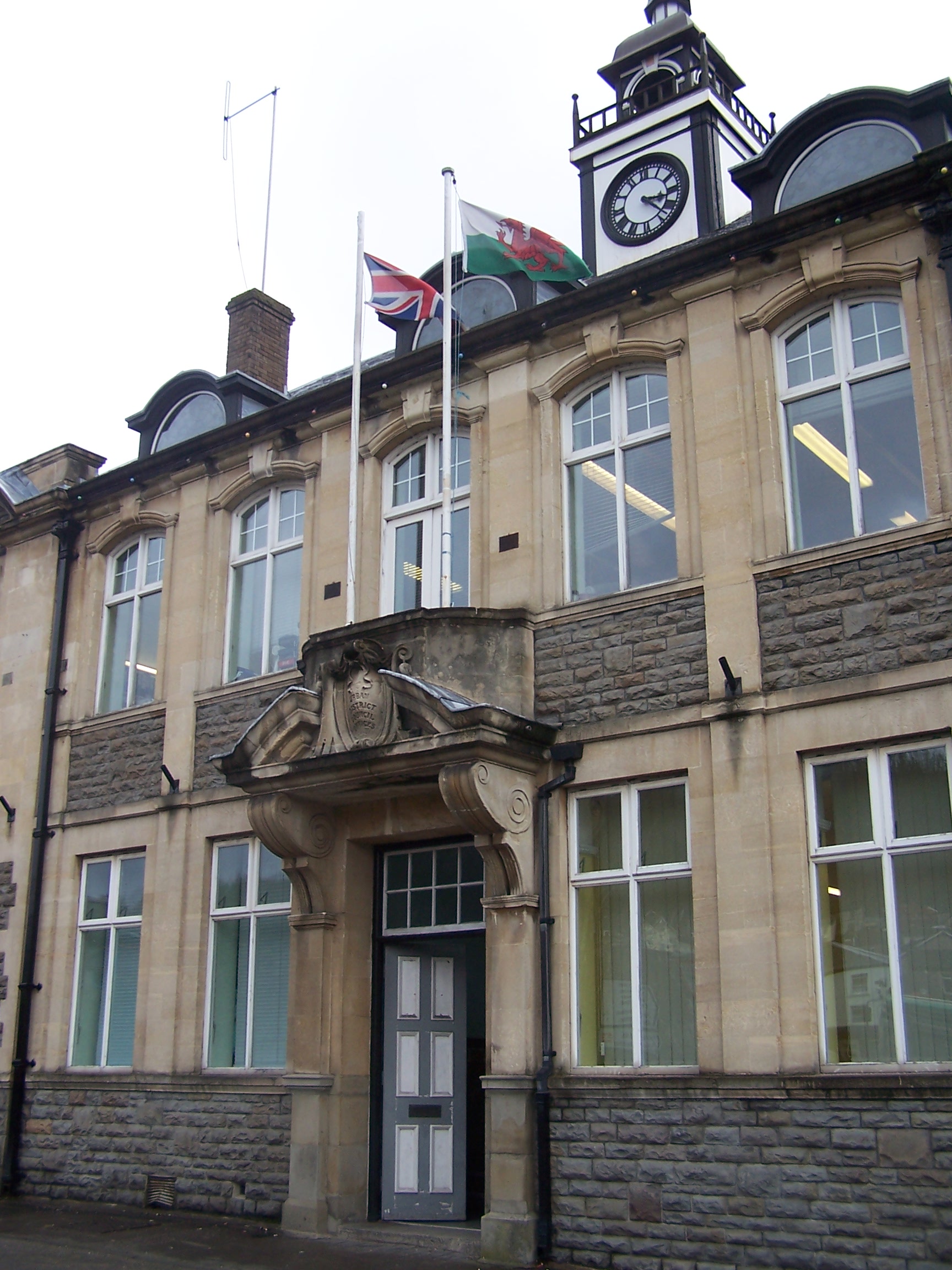
Mountain Ash Town hall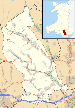
 Mountain Ash
Mountain Ash shown within Rhondda Cynon TafPopulation 7,039 (2001) OS grid reference ST025915 Community Mountain Ash Principal area Rhondda Cynon Taf Ceremonial county Mid Glamorgan Country Wales Sovereign state United Kingdom Post town MOUNTAIN ASH Postcode district CF45 Dialling code 01443 Police South Wales Fire South Wales Ambulance Welsh EU Parliament Wales UK Parliament Cynon Valley Welsh Assembly Cynon Valley List of places: UK • Wales • Rhondda Cynon Taf Mountain Ash (Welsh: Aberpennar) is a town and community in Rhondda Cynon Taf, deep in the South Wales Valleys of Wales. Mountain Ash is situated in the Cynon Valley and has a population of 7,039.[1] Mountain Ash lies within the historic county boundaries of Glamorgan.
Mountain Ash also contains the outlying villages of Penrhiwceiber, Cefnpennar, Cwmpennar, Darranlas, Fernhill, Glenboi and Newtown and Miskin.
The Afon Cynon runs past Mountain Ash.
Contents
History
Unlike other villages in the South Wales Valleys, it remained quiet, being only disturbed in 1818 by the construction of the Aberdare Canal. It became disused in the early 19th century, filled in to form the New Cardiff Road in 1933.[2]
The population of the village was 1,614 in 1841, rising to 11,463 in 1871 with the opening of local collieries. The 1851 census shows the construction of Duffryn Street and Navigation Street. By 1859 there were 12 public houses, some of the earliest being the Bruce Arms, the Junction Inn and the New Inn. By 1920, Kelly's Directory lists over 200 businesses within the village.[2]
The coal industry had started to decline post the First World War, but after the Second World War factory industries were introduced to offset the serious fall in local mining employment. By the end of the 20th century the last coal mines had closed, and many of the town’s factories had ceased operation as well. New light industries and service activities only partly mitigated the resulting economic hardship.
Mountain Ash along with the rest of the Cynon Valley and all the other South Wales Valleys was predominantly a Welsh speaking Valley up until the 19th century.
Transport
The town is served by Mountain Ash railway station on the Aberdare branch of the Merthyr Line of the Arriva Trains Wales rail network. Further to Mountain Ash train station, the village of Fernhill and Penrhiwceiber is also served by the Merthyr Line.
Bus services are operated by Bebb (a company owned by Veolia) and Glamorgan Bus Services.
Education
Mountain Ash is served by Mountain Ash Comprehensive School (formerly Mountain Ash Grammar School (Welsh: Ysgol Ramadeg Aberpennar ) for students aged 11-18. The comprehensive school is situated on the site of the former estate of Lord Aberdare, the main house, Dyffryn House, was still used by the school until its demolition in the 1980s. Opposite the site of the secondary school is the site for the Community hospital that aims to serve the Cynon Valley which is currently under construction.
Local primary schools include:Our lady's R.C Primary School, Caegarw Primary School (Ysgol Gynradd Caegarw), Glenboi Primary School (Ysgol Gynradd Glen-boi), Darranlas Primary School (Ysgol Gynradd Darren-las), Miskin Primary School (Ysgol Gynradd Meisgyn), Penguelan Primary School (Ysgol Gynradd Pengeulan) and Penrhiwceiber Primary School (Ysgol Gynradd Penrhiwceibr).
Sport and Culture
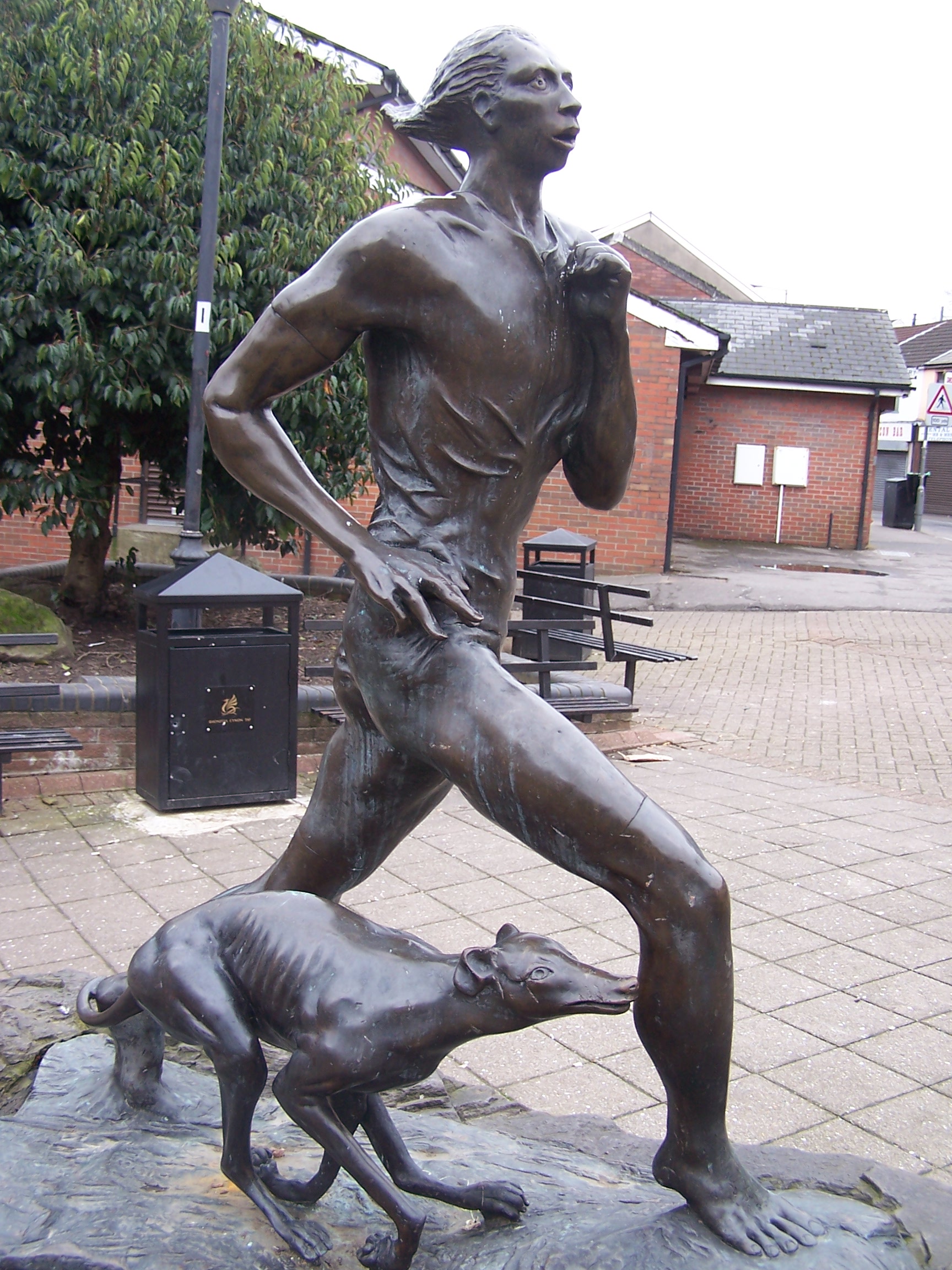
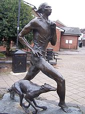 Guto Nyth Bran statue, Oxford Street
Mountain Ash has a football and a rugby team called Mountain Ash RFC.
Nos Galan (Welsh: Rasys Enwog Nos Galen), is an annual 5 kilometres (3.1 mi) running road race, run on New Year's Eve to commemorate the first race of Guto Nyth Bran. Started in 1958, it now attracts 800+ runners and 10,000 people to the associated street entertainment.[3]
In 1974, Mountain Ash RFC Singers Male voice choir were formed from a group of ex-players.
Mountain Ash hosted the National Eisteddfod in both 1905 and 1946.
Notable people
- See also Category:People from Mountain Ash, Wales
- Guto Nyth Bran
- Pennar Davies, clergyman and author
- Howard Collins, a prominent karate instructor
- Elaine Morgan (writer), BAFTA award-winning author
- Haydn Morris, international rugby union wing three-quarter
- Mark Brake, author, broadcaster and communicator of science
- Richard "Dickie" Williams, rugby league footballer
References
- ^ Office for National Statistics : Census 2001 : Parish Headcounts : Rhondda Cynon Taf Retrieved 10 January 2010
- ^ a b "Mountain Ash". Rhondda Cynon Taff. http://webapps.rhondda-cynon-taff.gov.uk/heritagetrail/cynon/mountain_ash/mountainash.htm. Retrieved 2009-01-01.
- ^ "Wales stars help warm up Nos Galan runners". South Wales Echo. 2010-01-01. http://www.walesonline.co.uk/news/wales-news/2010/01/01/wales-stars-help-warm-up-nos-galan-runners-91466-25503974/. Retrieved 2010-01-01.
External links
Categories:- Towns in Rhondda Cynon Taf


Wikimedia Foundation. 2010.