- Mid Bedfordshire (district)
-
Mid Bedfordshire 
Geography Status Non-metropolitan district 1974 area 124,423 acres (503.52 km2)[1] ONS code 09UE History Created 1974 Abolished 2009 Succeeded by Central Bedfordshire Demography 1973 population 94,750[1] 1992 population 110,110[2] 2007 population 118,200 Politics Governance Mid Bedfordshire District Council 
Subdivisions Type Civil parishes Mid Bedfordshire was, from 1974 to 2009, a local government district in Bedfordshire, England.
Contents
Creation
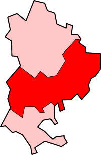
The district was formed on 1 April 1974 as part of a general reorganisation of local authorities in England and Wales carried out under the Local Government Act 1972. Mid Bedfordshire was formed by the amalgamation of five districts:[1]
- Ampthill Urban District
- Biggleswade Urban District
- Sandy Urban District
- Ampthill Rural District
- Biggleswade Rural District
Civil parishes
The district comprised the following civil parishes:[3]
- Flitwick
- Gravenhurst
- Harlington
- Haynes
- Henlow
- Henlow Camp
- Houghton Conquest
- Hulcote and Salford
- Husborne Crawley
- Langford
- Lidlington
- Marston Moretaine
- Maulden
- Milton Bryan
- Meppershall
- Mogerhanger
- Millbrook
- Northill
- Old Warden
Elections and political control
The first election to Mid Bedfordshire District Council took place on 7 June 1973, with the 49 councillors elected forming a shadow authority until 1 April 1974.[1] Following ward boundary changes, the number of councillors was increased to 53 in 1976. Elections for the whole council were then held in 1979 and every four years thereafter. In 2003 the wards were again redrawn, with the size of the council remaining at 53.[3] The final election took place in 2007, with councillors staying in office until the abolition of the council in 2009.
The first council elected had a large majority of independent councillors.[4] Gains by the Conservatives in 1976 meant that the council was under no control, although independents remained the largest group.[5] In 1979 Conservatives gained a majority, which they held for sixteen years.[6] In 1995 there was a large swing against the unpopular government of John Major, and the Labour Party gained 17 seats to achieve parity with the Conservatives. The council also included Liberal Democrats and Independents.[7] In 1999 the Conservatives regained control, which they held until the council's abolition.[8]
Year Conservative Labour Liberal/
Liberal DemocratIndependent Green Party Control 1973[4] 17 13 8 7 0 Independent 1976[5] † 19 3 1 26 0 No overall control 1979[6] 36 10 6 3 0 Conservative gain from NOC 1983[9] 26 7 0 20 0 Conservative hold 1987[10] 42 2 3 6 0 Conservative hold 1991[11] 40 3 3 7 0 Conservative hold 1995[7] 21 21 5 6 0 Conservative hold 1999[8] 34 7 6 6 0 Conservative hold 2003 †[12] 38 1 9 5 0 Conservative hold 2007[13] 38 0 11 3 1 Conservative hold † New ward boundaries
Abolition
In 2006 the Department for Communities and Local Government considered reorganising Bedfordshire's administrative structure as part of the 2009 structural changes to local government in England. On the 6th March 2008 it was announced that Mid Bedfordshire would merge with the neighboutring district of South Bedfordshire to form a new unitary authority called Central Bedfordshire. The new council was formed on 1 April 2009 although its initial members were not elected until 4 June 2009.[14]
References
- ^ a b c d Local government in England and Wales: A Guide to the New System. London: HMSO. 1974. p. 30. ISBN 0117508470.
- ^ OPCS Key Population and Statistics 1992
- ^ a b "The District of Mid Bedfordshire (Electoral Changes) Order 2001". Office of Public Sector Information. 2001. http://www.opsi.gov.uk/si/si2001/20014067.htm. Retrieved 2009-03-17.
- ^ a b "Final poll result may lie with Independents". The Times. 8 June 1973.
- ^ a b "Heavy Labour losses in district polls". The Times. 8 May 1976.
- ^ a b Whitaker's Almanack 1980. London: Joseph Whitaker. 1980. ISBN 085021114X.
- ^ a b "Complete list of results from Thursday's council elections". The Times: p. 10. 6 May 1995.
- ^ a b "How Britain voted: Council Election Results". The Independent: p. 12. 8 May 1999.
- ^ "How votes were cast in local government elections". The Times: p. 4. 7 May 1983.
- ^ "Results in Thursday's local elections". The Times. 9 May 1987.
- ^ "Complete round-up of results from Thursday's local council elections". The Times. 4 May 1991.
- ^ "English councils: Non-metropolitan districts". The Times: p. 47. 3 May 2003.
- ^ "Results: Election 2007.". The Times: p. 83. 5 May 2007.
- ^ Unitary solution confirmed for Bedfordshire - New flagship unitary councils approved for Cheshire - Corporate - Communities and Local Government
Bedfordshire AbolishedBedfordshire • Mid Bedfordshire • South Bedfordshire NewExisting (1990s)
Cheshire Abolished NewExisting (1990s)Warrington • Halton
Cornwall Abolished NewExisting (1890s)
County Durham Abolished NewExisting (1990s)
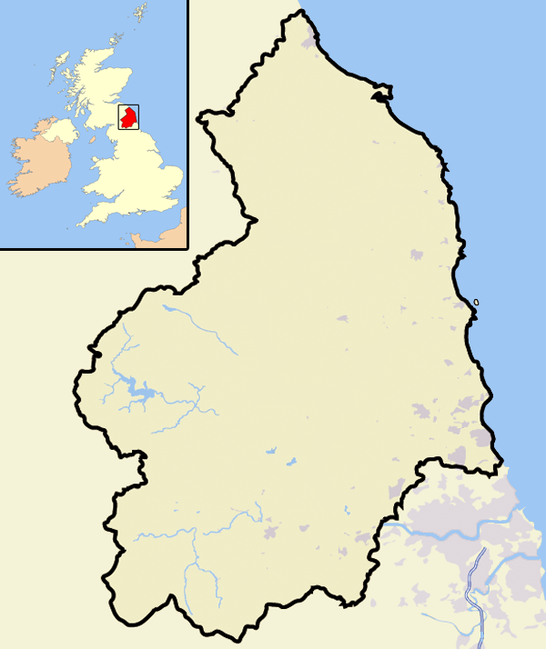
Northumberland Abolished NewExisting (1990s)None
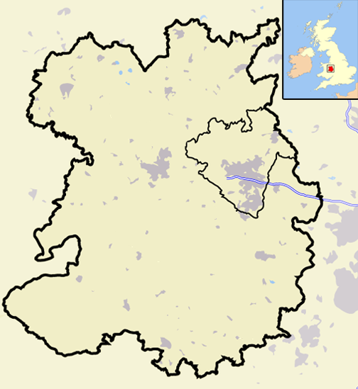
Shropshire Abolished NewExisting (1990s)
Wiltshire Abolished NewWiltshireExisting (1990s)


Wikimedia Foundation. 2010.