- Canaveral Barge Canal
-
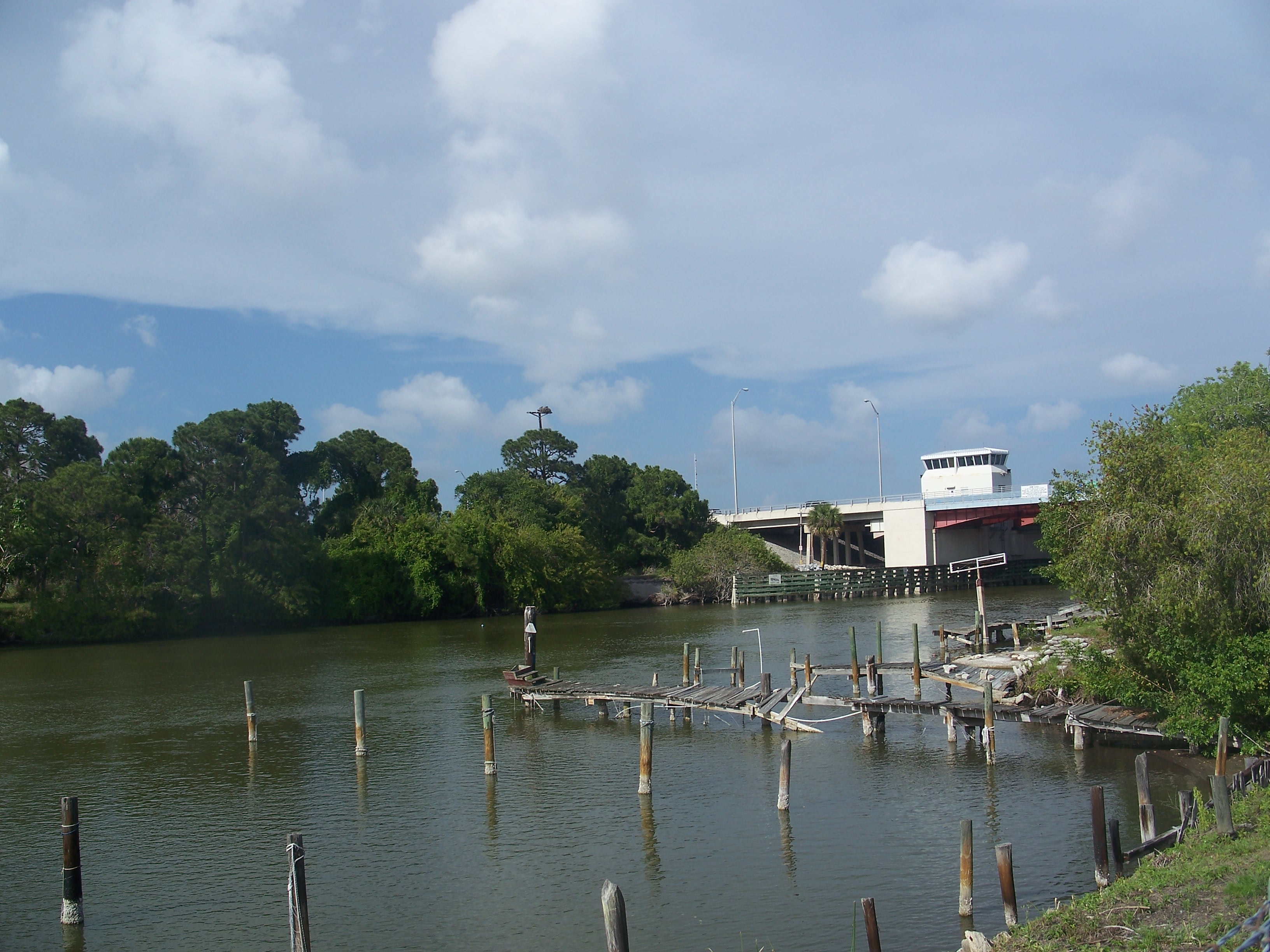
Canaveral Barge Canal Barge canal, looking towards the Christa McAuliffe Bridge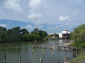
Date of first use January 1, 1965 Locks 1 Maximum height above sea level 3.3 ft (1.0 m) Status Open Navigation authority U.S. Army Corps of Engineers The Canaveral Barge Canal provides an east-to-west link between the Atlantic Ocean and Indian River Lagoon across northern Merritt Island, Florida, in two segments separated by the Banana River.[1] It is located 15 miles south of Titusville, Florida. The canal is 12 feet deep and has entrances to other water systems including Syke's Creek and various marinas. The canal links Port Canaveral along the Atlantic Ocean to the Intracoastal Waterway running down the center of the Indian River Lagoon. The canal was constructed to allow the transport of crude oil by barge to the two power plants south of Titusville, Florida.
List of crossings
Bridge Route Location Coordinates Christa McAuliffe Bridge (drawbridge)  FL 3 / Courtenay Parkway
Merritt Island 28.4072 -80.7067 Barge Canal Bridge (drawbridge)  FL 401
Merritt Island 28.409 -80.632 References
- ^ Canaveral Barge Canal at marinas.com. Accessed 2010-11-30.
Coordinates: 28°24′33″N 80°41′37″W / 28.409068°N 80.693722°W
Categories:- Canals in Florida
- Merritt Island, Florida
- Transportation in Brevard County, Florida
- Florida geography stubs
Wikimedia Foundation. 2010.