- March Route of Rochambeau's Army: Bailey Road
-
March Route of Rochambeau's Army: Bailey Road
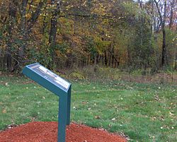
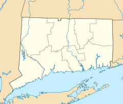

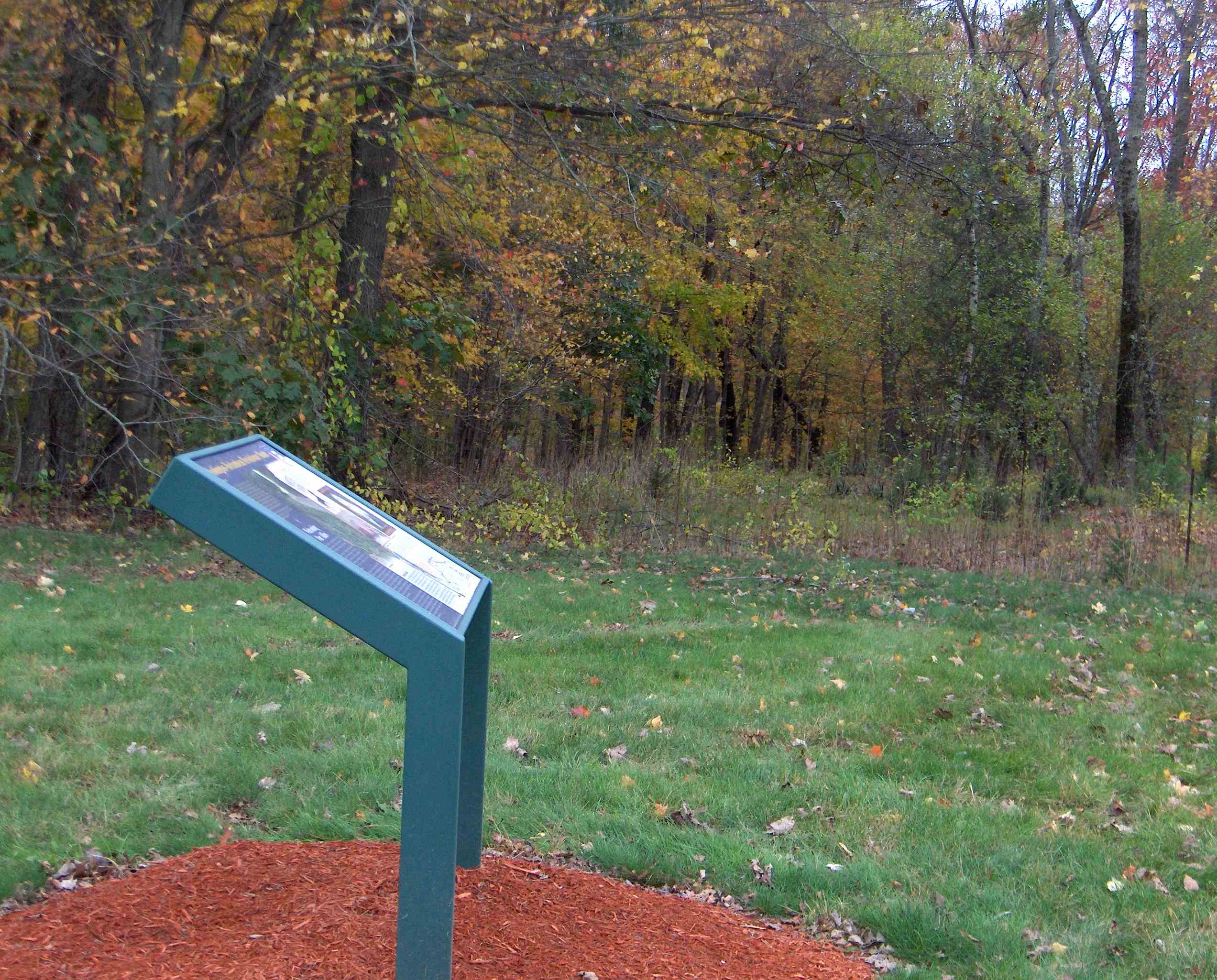
Location: Bailey Rd., Bolton, Connecticut Coordinates: 41°45′44″N 72°24′49″W / 41.76222°N 72.41361°WCoordinates: 41°45′44″N 72°24′49″W / 41.76222°N 72.41361°W Area: 2 acres (0.81 ha) Governing body: Local MPS: Rochambeau's Army in Connecticut, 1780-1782 MPS NRHP Reference#: 02001677[1] Added to NRHP: January 8, 2003 The March Route of Rochambeau's Army: Bailey Road is a section of abandoned, old roadway that is a historic site in Bolton, Connecticut. It was listed on the National Register of Historic Places in 2003.[1]
It is along the march route taken by French commander Rochambeau's troops in 1781 and is "the most intact and evocative section of Rochambeau's route."[2] Bailey Road originally connected Route 6 with Brandy Street in Bolton but the portion west of the Andover-Bolton town line has since been overgrown and is no longer passable by motor vehicles. A remnant of Bailey Road in Bolton still exists as an unpaved foot path and still retains the characteristic stone walls as well as two original stone culverts.
Multiple other properties whose association with Rochambeau's route is known were also considered for listing on the National Register in a study.[3]
See also
References
- ^ a b "National Register Information System". National Register of Historic Places. National Park Service. 2009-03-13. http://nrhp.focus.nps.gov/natreg/docs/All_Data.html.
- ^ Mary Harper and Bruce Clouette (April 30, 2001). "National Register of Historic Places Registration: March Route of Rochambeau's Army: Bailey Road". National Park Service. http://pdfhost.focus.nps.gov/docs/NRHP/Text/02001677.pdf. and Accompanying nine photos
- ^ Bruce Clouette and Mary Harper (October 22, 2001). "National Register of Historic Places Multiple Property Documentation: Rochambeau's Army in Connecticut, 1780-1782 MPS". National Park Service. http://pdfhost.focus.nps.gov/docs/NRHP/Text/64500789.pdf.
 NPS map of the W3R Route
U.S. National Register of Historic Places Topics Lists by states Alabama • Alaska • Arizona • Arkansas • California • Colorado • Connecticut • Delaware • Florida • Georgia • Hawaii • Idaho • Illinois • Indiana • Iowa • Kansas • Kentucky • Louisiana • Maine • Maryland • Massachusetts • Michigan • Minnesota • Mississippi • Missouri • Montana • Nebraska • Nevada • New Hampshire • New Jersey • New Mexico • New York • North Carolina • North Dakota • Ohio • Oklahoma • Oregon • Pennsylvania • Rhode Island • South Carolina • South Dakota • Tennessee • Texas • Utah • Vermont • Virginia • Washington • West Virginia • Wisconsin • WyomingLists by territories Lists by associated states Other Categories:- Historic districts in Connecticut
- National Register of Historic Places in Connecticut
- Historic districts in Tolland County, Connecticut
- Bolton, Connecticut
- Connecticut Registered Historic Place stubs


Wikimedia Foundation. 2010.