- Drawbridge Peak
-
Drawbridge Peak Location in Alberta and British Columbia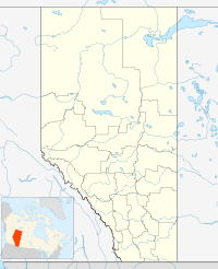
 Drawbridge Peak
Elevation 2,733 m (8,967 ft) [1] Prominence 184 m (604 ft) Location Location Alberta
British ColumbiaRange Park Ranges Coordinates 52°42′12″N 118°19′36″W / 52.70333°N 118.32667°WCoordinates: 52°42′12″N 118°19′36″W / 52.70333°N 118.32667°W Topo map NTS 83D/09 Drawbridge Peak is located on the border of Alberta and British Columbia. It was named in 1920 by the Interprovincial Boundary Survey.[1][2]
See also
- List of peaks on the British Columbia-Alberta border
- Mountains of Alberta
- Mountains of British Columbia
References
- ^ a b "Drawbridge Peak". PeakFinder.com. http://peakfinder.com/peakfinder.asp?PeakName=Drawbridge+Peak.
- ^ "Drawbridge Peak". Bivouac.com. http://www.bivouac.com/MtnPg.asp?MtnId=6737.
Categories:- Mountains of Alberta
- Mountains of British Columbia
- Alberta geography stubs
- British Columbia geography stubs

Wikimedia Foundation. 2010.