- South Kearny, New Jersey
-
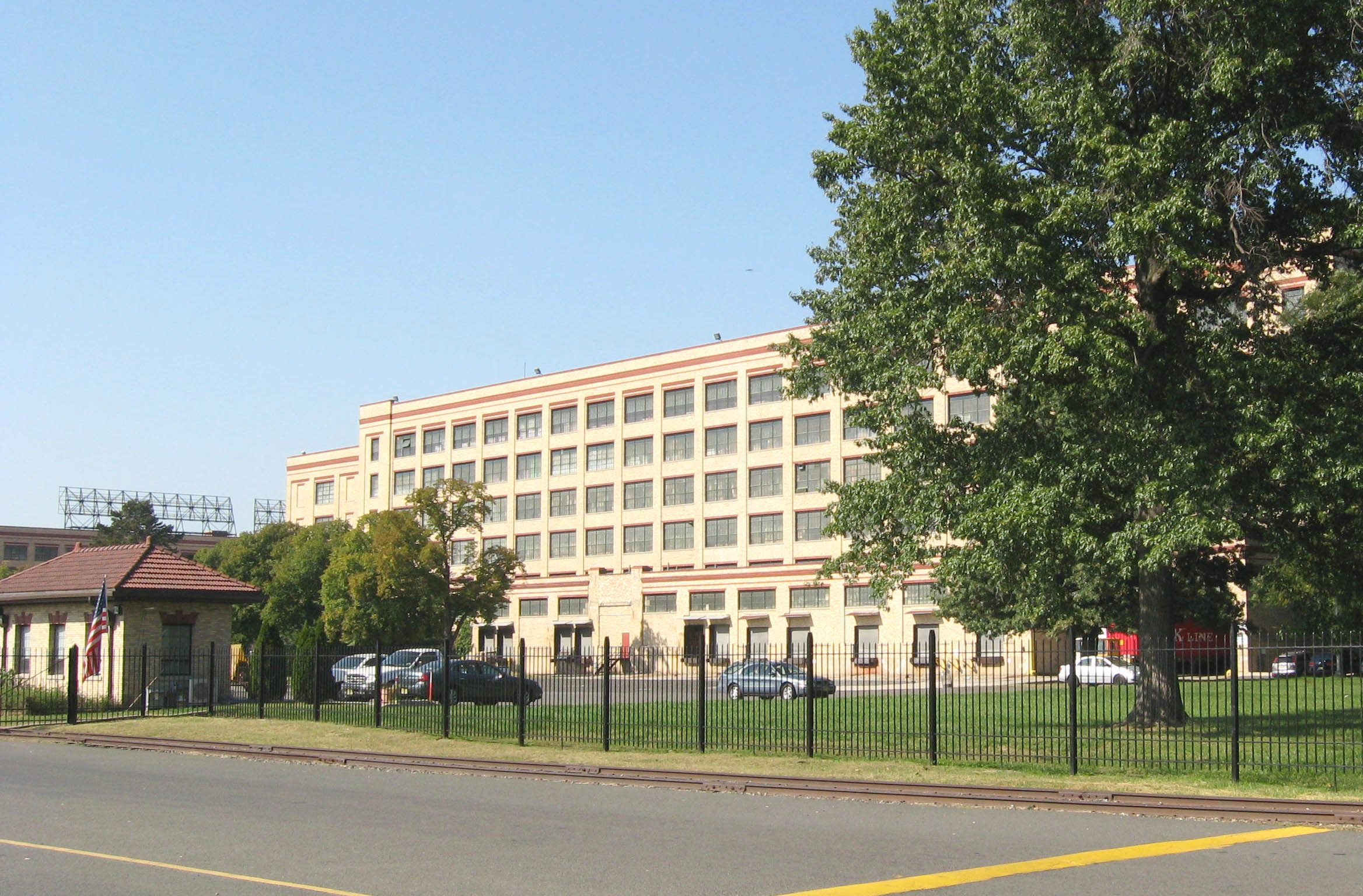
 River Terminal includes the former Western Electric Kearny Works
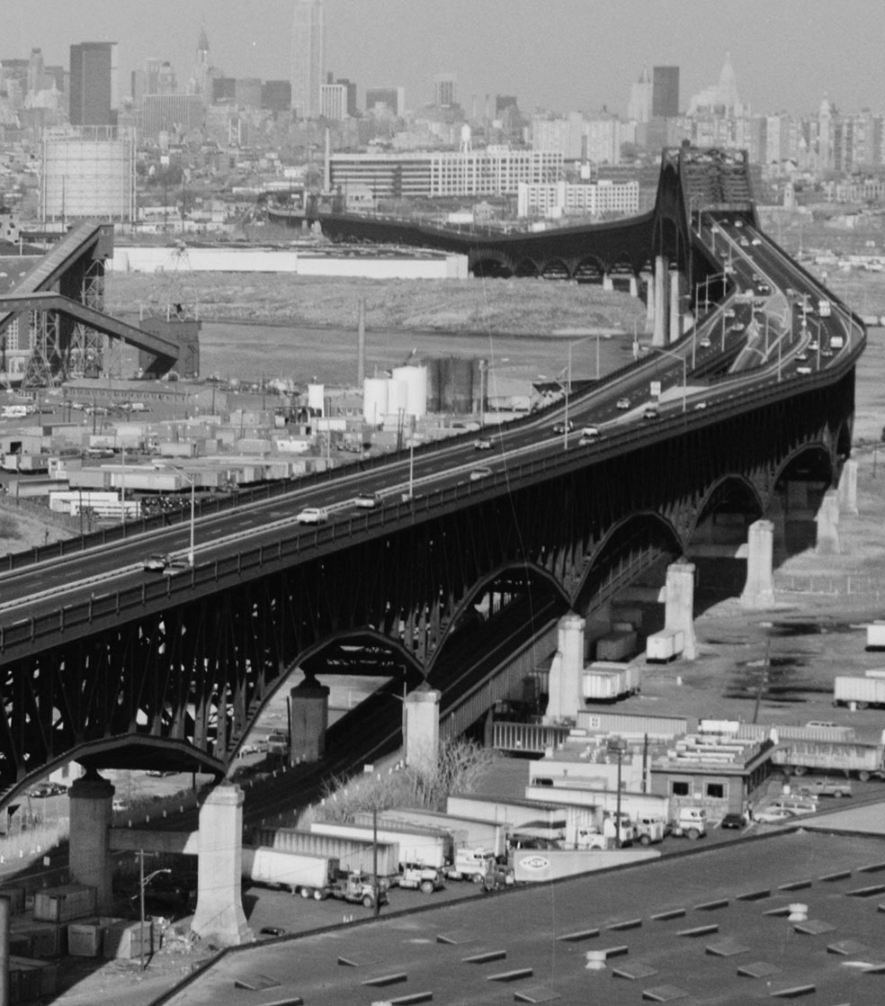
 Pulaski Skyway with Kearny ramp
South Kearny is an industrial district and distinct area of Hudson County, New Jersey at the northern end of Newark Bay in the town of Kearny, New Jersey.[1] It is on larger peninisula once called New Barbadoes Neck, which also include the other Kearny districts of the Uplands (a part of which is called Arlington) and the Kearny Meadows.[2] It has been known as Kearny Point which along Droyer's Point in the Jersey City marks the mouth of the Hackensack River to the east. The Passaic River flows along its western border opposite a similarly industrial portion of the Ironbound district of Newark. Most of the point is part of Foreign-Trade Zone 49[3]
The Newark and New York Railroad Bridge, part of Central Railroad of New Jersey, The Newark Plank Road, and the Morris Canal all crossed the point running parallel to each other. Currently, both the Lincoln Highway and The Pulaski Skyway traverse South Kearny, a ramp of the latter built specifically to spur industrial development[4] Among the many facilities that are located there are the Hudson County Correctional Center and River Terminal[5], a massive distribution warehouse that includes the former site of a Western Electric's Kearny Works manufacturing plant and the Kearny Yard of Federal Shipbuilding and Drydock Company.[6]
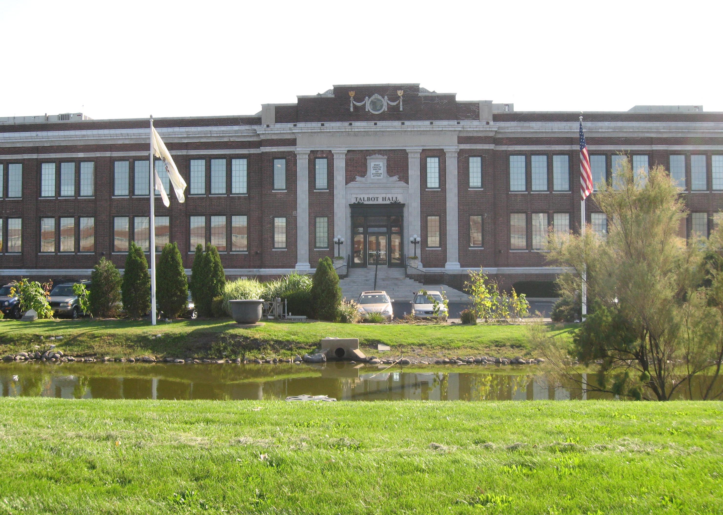
 Department of Corrections
Transportation
 Hudson County Route 659 runs along Central Avenue, Pennsylvania Aveue, and Fish House Road. New Jersey Transit bus routes #1 and #80 serve the area.
County Route 659
Route information Length: 2.07 mi[7] (3.33 km) Major junctions North end: Belleville Turnpike/Wittpenn Bridge Lincoln Highway South end: Kearny Point Highway system County routes in New Jersey
500-series • County routes in Hudson County←  CR 658
CR 659  →
→References
- ^ Hudson County New Jersey Street Map. Hagstrom Map Company, Inc. 2008. ISBN 0-8809-7763-9.
- ^ UEZKearny
- ^ PANYNJ FTZ 49
- ^ Hart, Steven (2007). The Last Three Miles: Politics, Murder, and the Construction of America's First Superhighway. The New Press. ISBN 978-1-59558-098-6.
- ^ River Terminal
- ^ Kearny Yard
- ^ "Hudson County 659 straight line diagram" (PDF). New Jersey Department of Transportation. http://www.state.nj.us/transportation/refdata/sldiag/09000659__-.pdf. Retrieved 2009-21-15.
External links
Municipalities and communities of Hudson County, New Jersey Cities Bayonne | Hoboken | Jersey City | Union City
Borough Towns Guttenberg | Harrison | Kearny | Secaucus | West New York
Townships Coordinates: 40°43′42″N 74°06′22″W / 40.728397°N 74.106216°W
Categories:- Kearny, New Jersey
- Geography of Hudson County, New Jersey
- Neighborhoods in Hudson County, New Jersey


Wikimedia Foundation. 2010.