- Clifton, Queensland
-
Clifton
Queensland
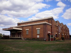
Old Clifton Dairy, 2007
 Clifton
Population: 1,067[1] Postcode: 4361 Location: LGA: Toowoomba Region State District: Condamine Federal Division: Maranoa Coordinates: 27°55′S 151°54′E / 27.917°S 151.9°E
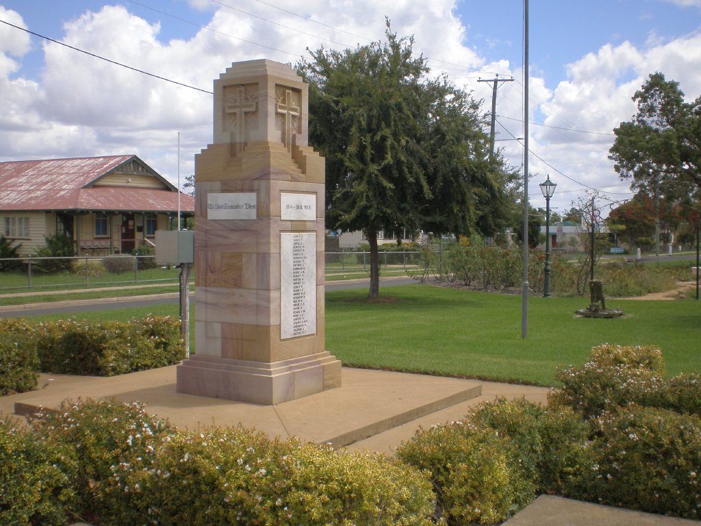
 Clifton war memorial.
Clifton is a town in the Darling Downs region of Queensland, Australia. The lands around the town was first settled by Europeans in 1840. At the 2006 census, Clifton had a population of 1,067.[1]
Bange's Airfield, six kilometres west of Clifton, is a thriving center for ultralight aircraft, and home to the Lone Eagle Flying School and the Darling Downs Sport Aircraft Association Inc. Boab trees are an important cultural heritage feature, particularly alongside the main street.
The town is situated just west of the New England Highway, about 50 kilometres south of Toowoomba and 150km west of Brisbane.
Education
Clifton State High School[1] is a Queensland public secondary school[2] serving the needs of the town of Clifton and surrounding rural districts.
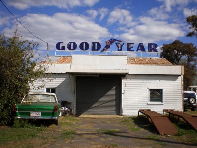
 Clifton garage.
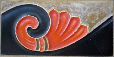
 Vitruvian scroll tile, main street, Clifton.
- 28 January 1964 Clifton Secondary Department commenced (with the new School Year)
- 1966 declared a High School.
References
- ^ a b Australian Bureau of Statistics (25 October 2007). "Clifton (Urban Centre/Locality)". 2006 Census QuickStats. http://www.censusdata.abs.gov.au/ABSNavigation/prenav/LocationSearch?collection=Census&period=2006&areacode=UCL313600&producttype=QuickStats&breadcrumb=PL&action=401. Retrieved 2008-01-27.
External links
- University of Queensland: Queensland Places: Clifton
- Clifton State High School
- Video: Clifton - Why we like to live here A digital story created by Barbara Free about the area of Clifton, as part of the Queensland Stories Project, State Library of Queensland. (Windows Media player, RealPlayer)
Darling Downs, Queensland Cities: Townships: Acland · Allora · Amiens · Applethorpe · Ballandean · Bell · Brigalow · Bungunya · Cambooya · Cecil Plains · Chinchilla · Clifton · Condamine · Cooyar · Crows Nest · Dalby · Dalveen · Daymar · Drillham · Dulacca · Goombungee · Goondiwindi · Gowrie Junction · Greenmount · Haden · Hampton · Highfields · Inglewood · Jandowae · Jimbour · Karara · Kaimkillenbun · Killarney · Kingsthorpe · Kogan · Kulpi · Leyburn · Macalister · Maclagan · Maryvale · Meandarra · Meringandan · Messines · Miles · Millmerran · Moonie · Nobby · Oakey · Passchendaele · Peranga · Pittsworth · Pozieres · Quinalow · Stanthorpe · Southbrook · Talwood · Texas · Tara · The Gums · Thulimbah · Toobeah · Wallangarra · Wandoan · Warra · Weengallon · Wyberba · Wyreema · Yangan · Yarraman · YelarbonLocal Government Areas: Goondiwindi Region · Southern Downs Region · Toowoomba Region · Western Downs RegionNational Parks: Bunya Mountains · Girraween · Main Range · Mount Binga · Southwood · Sundown · The Palms · Wondul RangeCategories:- Towns in Queensland
- Towns in the Darling Downs
- Queensland geography stubs

Wikimedia Foundation. 2010.