- Drillham, Queensland
-
Drillham
Queensland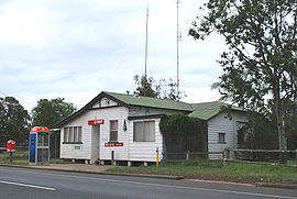
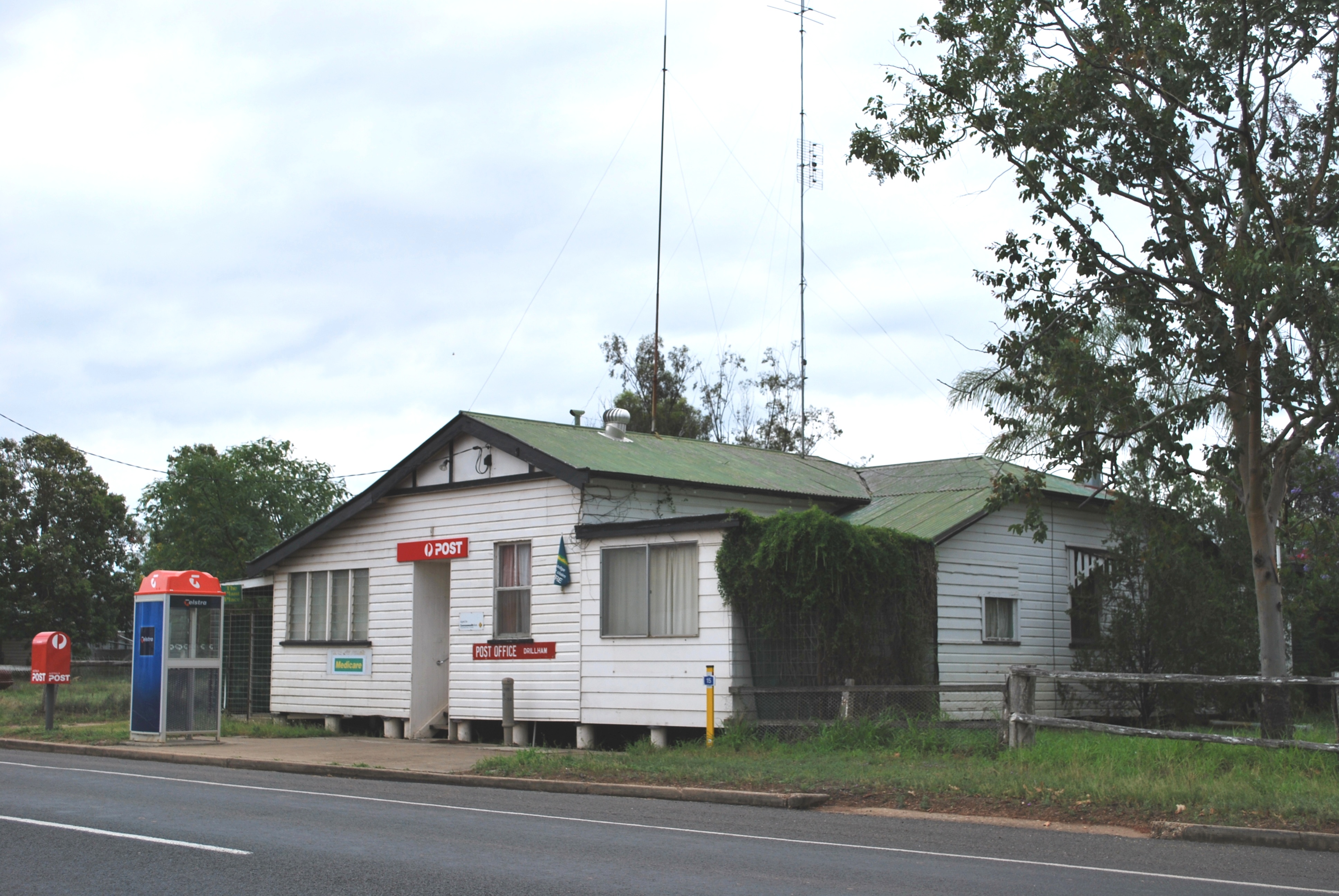
Post office at Drillham
 Drillham
Population: 272[1] Postcode: 4424 Coordinates: 26°39′S 149°59′E / 26.65°S 149.983°ECoordinates: 26°39′S 149°59′E / 26.65°S 149.983°E Location: LGA: Western Downs Region State District: Warrego Federal Division: Maranoa Drillham is a town in the Darling Downs region of Queensland, Australia. The town is located on the Warrego Highway and in the Western Downs Region Local Government Area, 358 kilometres (222 mi) north west of the state capital, Brisbane. At the 2006 census, Drillham and the surrounding area had a population of 272.[1]
The town was established in 1878 to service the railway and was home to a camp for workers building the bridge over nearby Drillham Creek.[2] The town and the creek were originally known as 'Delerium' due to the typhoid fever that struck this camp.[3] Today, Drillham is a centre for the production of livestock and grains.[2]
References
- ^ a b Australian Bureau of Statistics (25 October 2007). "Drillham (Murilla Shire) (State Suburb)". 2006 Census QuickStats. http://www.censusdata.abs.gov.au/ABSNavigation/prenav/LocationSearch?collection=Census&period=2006&areacode=SSC35833&producttype=QuickStats&breadcrumb=PL&action=401. Retrieved 2008-11-03.
- ^ a b "Drillham". Western Downs - Places to Visit. Tourism Queensland. http://www.queenslandholidays.com.au/destinations/western-downs/places-to-visit/drillham/. Retrieved 2008-11-03.
- ^ "Drillham". Murilla Shire Council. http://www.murilla.qld.gov.au/visitors/Drillham.shtml. Retrieved 2008-11-03.
Towns in the Western Downs Region | Darling Downs | Queensland Darling Downs, Queensland Cities: Townships: Acland · Allora · Amiens · Applethorpe · Ballandean · Bell · Brigalow · Bungunya · Cambooya · Cecil Plains · Chinchilla · Clifton · Condamine · Cooyar · Crows Nest · Dalby · Dalveen · Daymar · Drillham · Dulacca · Goombungee · Goondiwindi · Gowrie Junction · Greenmount · Haden · Hampton · Highfields · Inglewood · Jandowae · Jimbour · Karara · Kaimkillenbun · Killarney · Kingsthorpe · Kogan · Kulpi · Leyburn · Macalister · Maclagan · Maryvale · Meandarra · Meringandan · Messines · Miles · Millmerran · Moonie · Nobby · Oakey · Passchendaele · Peranga · Pittsworth · Pozieres · Quinalow · Stanthorpe · Southbrook · Talwood · Texas · Tara · The Gums · Thulimbah · Toobeah · Wallangarra · Wandoan · Warra · Weengallon · Wyberba · Wyreema · Yangan · Yarraman · YelarbonLocal Government Areas: Goondiwindi Region · Southern Downs Region · Toowoomba Region · Western Downs RegionNational Parks: Bunya Mountains · Girraween · Main Range · Mount Binga · Southwood · Sundown · The Palms · Wondul RangeCategories:- Towns in Queensland
- Populated places established in 1878
- Towns in the Darling Downs
- 1878 establishments in Australia
- Queensland geography stubs

Wikimedia Foundation. 2010.