- Mukwonago, Wisconsin
-
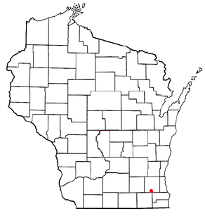
Mukwonago, Wisconsin — Village — Location of Mukwonago, Wisconsin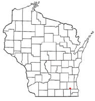
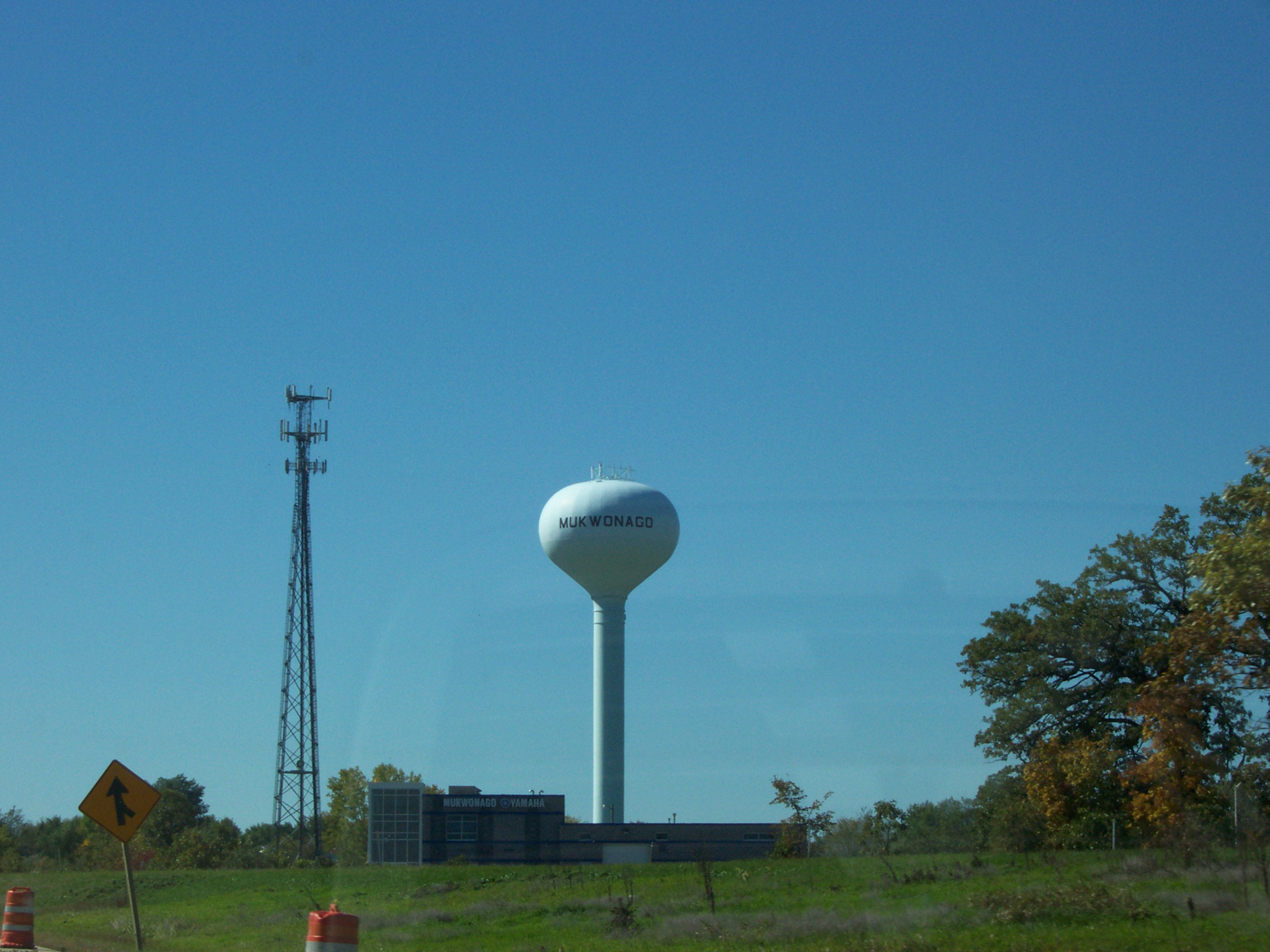
Coordinates: 42°53′8″N 88°22′5″W / 42.88556°N 88.36806°WCoordinates: 42°53′8″N 88°22′5″W / 42.88556°N 88.36806°W Country United States State Wisconsin County Walworth, Waukesha Area – Total 4.8 sq mi (12.5 km2) – Land 4.7 sq mi (12.1 km2) – Water 0.1 sq mi (0.4 km2) Elevation[1] 978 ft (298 m) Population (2000) – Total 6,162 – Density 1,313.3/sq mi (507.3/km2) Time zone Central (CST) (UTC-6) – Summer (DST) CDT (UTC-5) Zip code 53149 FIPS code 55-55075[2] GNIS feature ID 1583771[1]  Mukwonago water tower
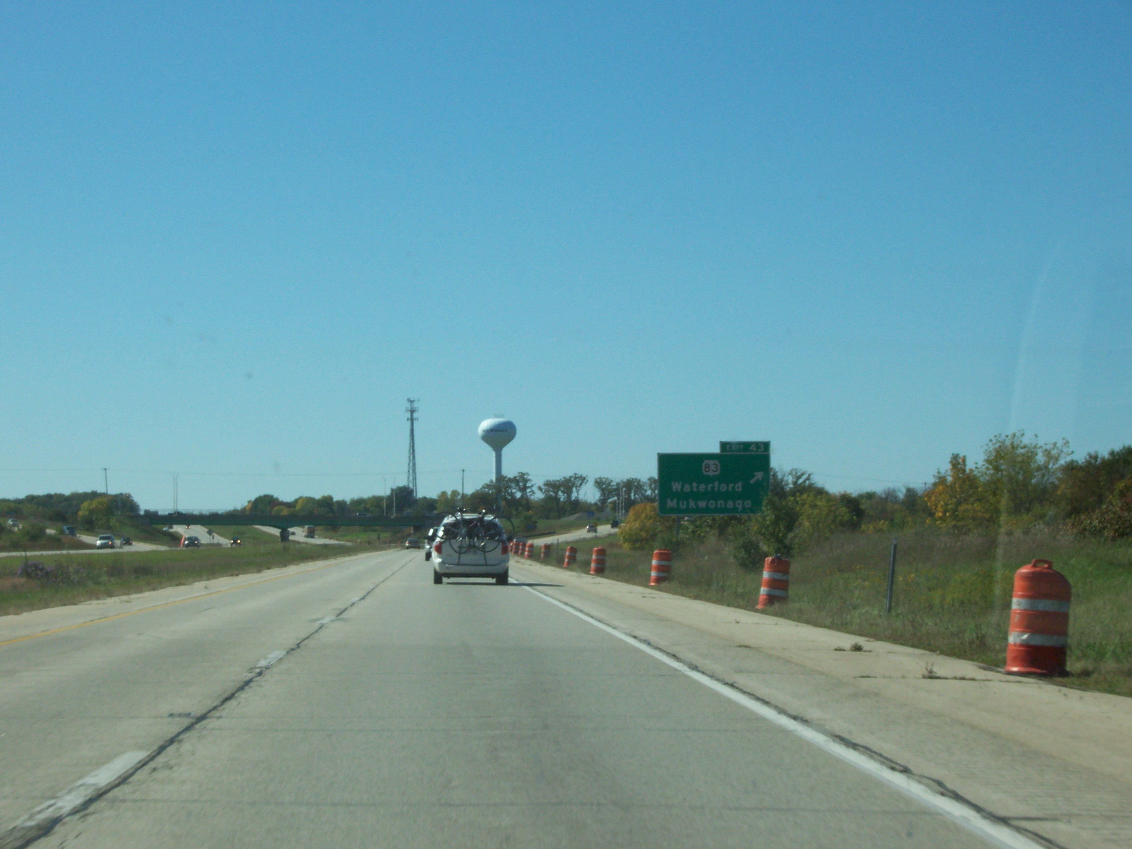
 Interstate 43 at Mukwonago
 Mukwonago River
Mukwonago is a village in Wisconsin. As of the 2004 census, its population was 8,519. The village is located mostly within the Town of Mukwonago in Waukesha County, with a small portion extending into the Town of East Troy in Walworth County.
Contents
Climate
Mukwonago has a humid continental climate.
Climate data for Mukwonago, Wisconsin (all dates) Month Jan Feb Mar Apr May Jun Jul Aug Sep Oct Nov Dec Year Record high °C (°F) 15
(59)19
(66)28
(82)33
(91)34
(93)38
(100)43
(109)38
(101)38
(101)31
(88)25
(77)20
(68)43
(109)Average high °C (°F) 3
(38)−11
(12)1
(33)8
(46)20
(68)26
(78)28
(82)31
(87)23
(73)17
(63)7
(45)−6
(22)12.2
(53.9)Source: http://www.weather.com/weather/wxclimatology/monthly/graph/53149 Geography
Mukwonago is located at 42°51′52″N 88°19′50″W / 42.864557°N 88.330619°W (42.864557, -88.330619).[3]
According to the United States Census Bureau, the village has a total area of 4.8 square miles (12.5 km2), of which, 4.7 square miles (12.1 km2) of it is land and 0.1 square miles (0.4 km2) of it (2.90%) is water.
It is situated at the southwestern flank of the sprawling Vernon Marsh, and encircles Upper and Lower Phantom Lake(s). The lakes lie midway along the Mukwonago River from its source springs to its meeting with the Fox River, which travels further southeast through Big Bend and beyond.
Demographics
As of the census[2] of 2000, there were 6,162 people, 2,392 households, and 1,705 families residing in the village. The population density was 1,313.3 people per square mile (507.3/km2). There were 2,502 housing units at an average density of 533.3 per square mile (206.0/km2). The racial makeup of the village was 98.21% White, 0.19% African American, 0.24% Native American, 0.36% Asian, 0.29% from other races, and 0.70% from two or more races. Hispanic or Latino of any race were 1.90% of the population.
There were 2,392 households out of which 35.5% had children under the age of 18 living with them, 57.0% were married couples living together, 9.9% had a female householder with no husband present, and 28.7% were non-families. 22.7% of all households were made up of individuals and 8.4% had someone living alone who was 65 years of age or older. The average household size was 2.54 and the average family size was 3.00.
In the village the population was spread out with 25.5% under the age of 18, 9.9% from 18 to 24, 32.1% from 25 to 44, 21.6% from 45 to 64, and 10.9% who were 65 years of age or older. The median age was 34 years. For every 100 females there were 95.2 males. For every 100 females age 18 and over, there were 92.4 males.
The median income for a household in the village was $56,250, and the median income for a family was $64,354. Males had a median income of $45,824 versus $28,333 for females. The per capita income for the village was $23,993. About 2.6% of families and 3.1% of the population were below the poverty line, including 3.7% of those under age 18 and 6.4% of those age 65 or over.
History
The area was originally a Native American village and the tribal seat of the Bear Clan of the Potawatomi Indians. The name "Mukwonago" is derived from "mequanego" which translates to bear's den. The spelling Mukwonago was adopted in 1844 because of the similarity to nearby Mequon. Many of the streets and roads are named after the city's founders, such as Ira Blood, Sewall Andrews, and Thomas Sugden.
Education
Public schools serving the city include Mukwonago High School, Park View Junior High School, and Rolling Hills and Clarendon Avenue Elementary Schools. According to GreatSchools.com, the school district scores 10/10, above many other local school districts.[4] The 2004 Mukwonago Indians football team had an undefeated [5] state championship winning season ending with a victory over the Marshfield Tigers.[6] Other state championships included the school's girls cross country team in 1994, the girls gymnastics team in 1994 and 1992, and the boys cross country team in 1964 and 1966.[citation needed]
Parochial schools include St. James Catholic School and St. John's Lutheran School.
Notable residents
- Scott Jensen, politician
- Nick Pearson, Olympian in speedskating, 2002 & 2010 Winter Games[7]
- Eric Szmanda, actor, CSI
- John J. Van Buren, United States Navy
References
- ^ a b "US Board on Geographic Names". United States Geological Survey. 2007-10-25. http://geonames.usgs.gov. Retrieved 2008-01-31.
- ^ a b "American FactFinder". United States Census Bureau. http://factfinder.census.gov. Retrieved 2008-01-31.
- ^ "US Gazetteer files: 2010, 2000, and 1990". United States Census Bureau. 2011-02-12. http://www.census.gov/geo/www/gazetteer/gazette.html. Retrieved 2011-04-23.
- ^ "Mukwonago Schools vs. Other Local Schools", 2010-6-30,"[1]"
- ^ "Team Statistics", 2004-06-01, "[2]" Retrieved 2009-12-16
- ^ "Marshfield vs Mukwonago", 2004-11-19 "[3]" Retrieved 2009-12-16
- ^ http://www.livinglakecountry.com/mukwonagochief/news/82056872.html
External links
Municipalities and communities of Walworth County, Wisconsin Cities Burlington‡ | Delavan | Elkhorn | Lake Geneva | Whitewater‡

Villages Darien | East Troy | Fontana-on-Geneva Lake | Genoa City‡ | Mukwonago‡ | Sharon | Walworth | Williams Bay
Towns Bloomfield | Darien | Delavan | East Troy | Geneva | La Grange | Lafayette | Linn | Lyons | Richmond | Sharon | Spring Prairie | Sugar Creek | Troy | Walworth | Whitewater
CDPs Como | Delavan Lake | Lake Ivanhoe | Lake Lorraine | Lauderdale Lakes | Pell Lake | Potter Lake | Powers Lake‡ | Springfield | Turtle Lake
Unincorporated
communitiesAllen's Grove | Big Foot Prairie‡ | Honey Creek | Lyons | Millard | Troy | Troy Center | Voree | Zenda
Footnotes ‡This populated place also has portions in an adjacent county or counties
Municipalities and communities of Waukesha County, Wisconsin Cities Brookfield | Delafield | Milwaukee‡ | Muskego | New Berlin | Oconomowoc | Pewaukee | Waukesha

Villages Big Bend | Butler | Chenequa | Dousman | Eagle | Elm Grove | Hartland | Lac La Belle‡ | Lannon | Menomonee Falls | Merton | Mukwonago‡ | Nashotah | North Prairie | Pewaukee | Oconomowoc Lake | Sussex | Wales
Towns CDP Unincorporated
communitiesColgate‡ | Genesee Depot | Goerke's Corners | Lake Five | Mapleton | Monches | Monterey | North Lake | Saylesville | Stone Bank | Summit Center | Summit Corners | Vernon
Ghost towns Footnotes ‡This populated place also has portions in an adjacent county or counties
Milwaukee Metropolitan Area Central City 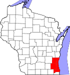
Largest Municipalities
(over 25,000 in 2000)BrookfieldC · FranklinC · GreenfieldC · Menomonee FallsV · New BerlinC · Oak CreekC · RacineC · WaukeshaC · WauwatosaC · West AllisC · West BendC
Municipalities
(over 10,000 in 2000)Brown DeerV · CaledoniaV · CedarburgC · CudahyC · GermantownV · GlendaleC · GraftonV · GreendaleV · MequonC · MuskegoC · OconomowocC · PewaukeeC · RichfieldT · ShorewoodV · South MilwaukeeC · Whitefish BayV
Smaller Municipalities
(under 10,000 in 2000)BaysideV · Big BendV · BrookfieldT · Elm GroveV · Fox PointV · HartlandV · Hales CornersV · MukwonagoV · PewaukeeV · River HillsV · SaukvilleV · Saint FrancisC · SussexV · ThiensvilleV · West MilwaukeeV
Counties Milwaukee · Ozaukee · Racine · Washington · Waukesha
Categories:- Villages in Wisconsin
- Populated places in Walworth County, Wisconsin
- Populated places in Waukesha County, Wisconsin


Wikimedia Foundation. 2010.