- Darien, Wisconsin
-
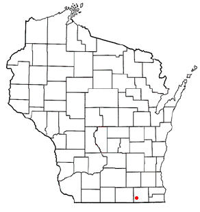
Darien, Wisconsin — Village — Location of Darien, Wisconsin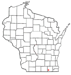
Coordinates: 42°36′54″N 88°43′14″W / 42.615°N 88.72056°WCoordinates: 42°36′54″N 88°43′14″W / 42.615°N 88.72056°W Country United States State Wisconsin County Walworth Area – Total 1.3 sq mi (3.4 km2) – Land 1.3 sq mi (3.4 km2) – Water 0.0 sq mi (0.0 km2) Elevation[1] 925 ft (282 m) Population (2000) – Total 1,572 – Density 1,209.2/sq mi (462.4/km2) Time zone Central (CST) (UTC-6) – Summer (DST) CDT (UTC-5) FIPS code 55-18850[2] GNIS feature ID 1583051[1] Darien is a village in Walworth County, Wisconsin, United States. It is pronounced /dɛəriˈɛn/ or /dɛəriˈæn/. The population was 1,572 at the 2000 census. The village is located within the Town of Darien.
Geography
Darien is located at 42°36′2″N 88°42′30″W / 42.60056°N 88.70833°W (42.600732, -88.708391)[3].
According to the United States Census Bureau, the village has a total area of 1.3 square miles (3.3 km²). None of the area is covered with water.
Demographics
As of the census[2] of 2000, there were 1,572 people, 537 households, and 411 families residing in the village. The population density was 1,225.0 people per square mile (474.2/km²). There were 560 housing units at an average density of 436.4 per square mile (168.9/km²). The racial makeup of the village was 93.13% White, 0.51% Black or African American, 0.25% Native American, 0.06% Pacific Islander, 4.39% from other races, and 1.65% from two or more races. 14.12% of the population were Hispanic or Latino of any race.
There were 537 households out of which 42.6% had children under the age of 18 living with them, 59.8% were married couples living together, 10.8% had a female householder with no husband present, and 23.3% were non-families. 18.8% of all households were made up of individuals and 6.1% had someone living alone who was 65 years of age or older. The average household size was 2.92 and the average family size was 3.35.
In the village the population was spread out with 32.6% under the age of 18, 9.2% from 18 to 24, 31.0% from 25 to 44, 20.2% from 45 to 64, and 6.9% who were 65 years of age or older. The median age was 31 years. For every 100 females there were 102.3 males. For every 100 females age 18 and over, there were 100.2 males.
The median income for a household in the village was $46,800, and the median income for a family was $53,625. Males had a median income of $35,568 versus $25,278 for females. The per capita income for the village was $17,638. About 4.9% of families and 6.8% of the population were below the poverty line, including 6.4% of those under age 18 and 6.7% of those age 65 or over.
References
- ^ a b "US Board on Geographic Names". United States Geological Survey. 2007-10-25. http://geonames.usgs.gov. Retrieved 2008-01-31.
- ^ a b "American FactFinder". United States Census Bureau. http://factfinder.census.gov. Retrieved 2008-01-31.
- ^ "US Gazetteer files: 2010, 2000, and 1990". United States Census Bureau. 2011-02-12. http://www.census.gov/geo/www/gazetteer/gazette.html. Retrieved 2011-04-23.
Municipalities and communities of Walworth County, Wisconsin Cities Burlington‡ | Delavan | Elkhorn | Lake Geneva | Whitewater‡

Villages Darien | East Troy | Fontana-on-Geneva Lake | Genoa City‡ | Mukwonago‡ | Sharon | Walworth | Williams Bay
Towns Bloomfield | Darien | Delavan | East Troy | Geneva | La Grange | Lafayette | Linn | Lyons | Richmond | Sharon | Spring Prairie | Sugar Creek | Troy | Walworth | Whitewater
CDPs Como | Delavan Lake | Lake Ivanhoe | Lake Lorraine | Lauderdale Lakes | Pell Lake | Potter Lake | Powers Lake‡ | Springfield | Turtle Lake
Unincorporated
communitiesAllen's Grove | Big Foot Prairie‡ | Honey Creek | Lyons | Millard | Troy | Troy Center | Voree | Zenda
Footnotes ‡This populated place also has portions in an adjacent county or counties
Categories:- Villages in Wisconsin
- Populated places in Walworth County, Wisconsin

Wikimedia Foundation. 2010.