- Davidson, North Carolina
-
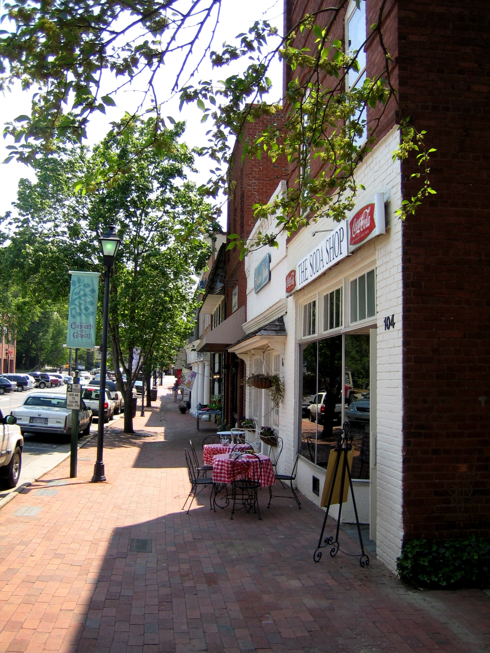
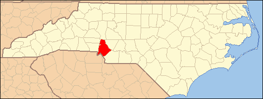
Davidson, North Carolina — Town — Main Street, Davidson, NC. Location of Davidson, North Carolina
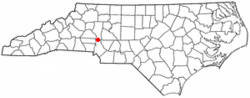
Coordinates: 35°29′28″N 80°49′58″W / 35.49111°N 80.83278°WCoordinates: 35°29′28″N 80°49′58″W / 35.49111°N 80.83278°W Country United States State North Carolina Counties Mecklenburg Area - Total 5.1 sq mi (13.1 km2) - Land 4.9 sq mi (12.6 km2) - Water 0.2 sq mi (0.5 km2) Elevation 840 ft (256 m) Population (2000) - Total 7,139 - Density 1,468.0/sq mi (566.8/km2) Time zone Eastern (EST) (UTC-5) - Summer (DST) EDT (UTC-4) ZIP codes 28035-28036 Area code(s) 704 980 FIPS code 37-16400[1] GNIS feature ID 1019914[2] Website http://www.ci.davidson.nc.us Davidson is a town in Mecklenburg County in the U.S. state of North Carolina. The population was 7,139 at the 2000 census. It is home to Davidson College. Lying along the eastern shore of Lake Norman, the town is centered around the college from which it takes its name.
The town was founded in 1837 with the establishment of the Presbyterian Davidson College, named for Brigadier General William Lee Davidson, a local Revolutionary War hero in Mecklenburg County. The land for Davidson College came from Davidson's estate, a large portion of which was donated by his son.
Contents
Geography
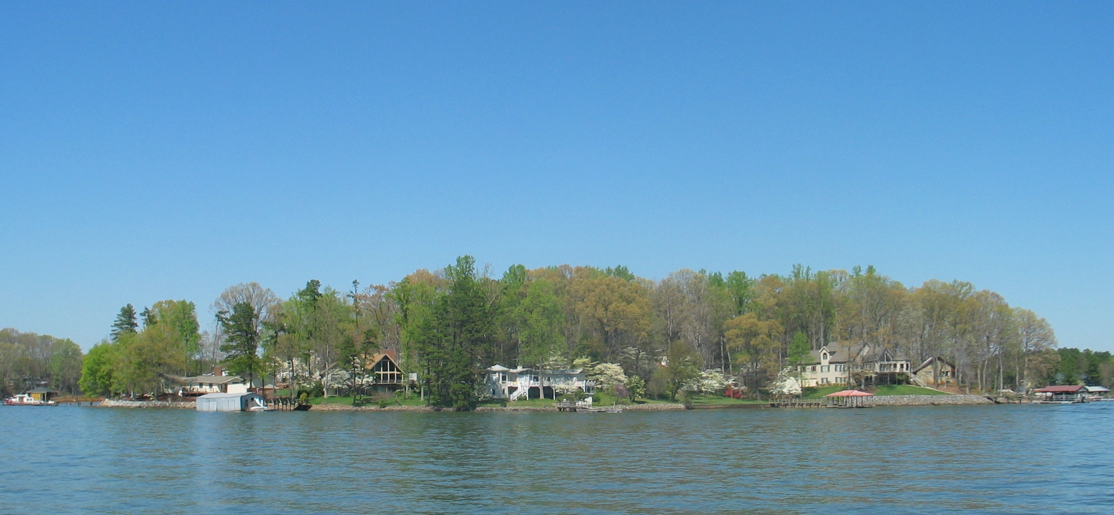
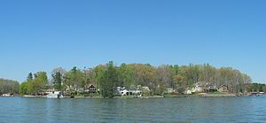 A view of Lake Norman in the spring.
Davidson is located along Lake Norman in the piedmont of North Carolina at 35°29′28″N 80°49′58″W / 35.49111°N 80.83278°W, approximately 20 miles north of Charlotte in northern Mecklenburg County.[3]
According to the United States Census Bureau, the town has a total area of 5.1 square miles (13.1 km²), of which, 4.9 square miles (12.6 km²) of it is land and 0.2 square miles (0.5 km²) of it (3.95%) is water.
Demographics
As of the census[1] of 2000, there were 7,139 people, 2,122 households, and 1,476 families residing in the town. The population density was 1,468.0 people per square mile (567.2/km²). There were 2,452 housing units at an average density of 504.2 per square mile (194.8/km²). The racial makeup of the town was 88.53% White, 8.14% African American, 0.15% Native American, 1.29% Asian, 0.08% Pacific Islander, 0.97% from other races, and 0.84% from two or more races. Hispanic or Latino of any race were 2.28% of the population.
There were 2,122 households out of which 35.8% had children under the age of 18 living with them, 60.1% were married couples living together, 7.2% had a female householder with no husband present, and 30.4% were non-families. 24.8% of all households were made up of individuals and 5.9% had someone living alone who was 65 years of age or older. The average household size was 2.53 and the average family size was 3.07.
In the town the population was spread out with 21.1% under the age of 18, 24.2% from 18 to 24, 25.5% from 25 to 44, 18.5% from 45 to 64, and 10.7% who were 65 years of age or older. The median age was 31 years. For every 100 females there were 95.5 males. For every 100 females age 18 and over, there were 90.2 males.
The median income for a household in the town was $78,370, and the median income for a family was $100,961. Males had a median income of $69,830 versus $37,632 for females. The per capita income for the town was $31,571. About 3.4% of families and 6.0% of the population were below the poverty line, including 4.4% of those under age 18 and 5.5% of those age 65 or over.
Notable residents
- David Stremme, NASCAR Driver.
- Denny Hamlin, NASCAR Driver.
- Alan Gustafson NASCAR Crew Chief
Points of interest
Education
 Chambers Building at Davidson College in Davidson, NC
School system
The citizens of Davidson, NC attend the Charlotte-Mecklenburg Schools. Elementary schools include Davidson Elementary. The middle school is Davidson IBMYP Middle School, but the School Board decided to close it starting in the 2011 school year.
Private schools
- Lake Norman Christian School
- Cannon School, located in nearby Concord, serves Davidson families
- Davidson Day School [1], located at 750 Jetton Road in Davidson
- McKinney Academy, Davidson.
- McKinney Care Academy, Davidson.
- Phoenix Montessori Academy
- Woodlawn School [2], located 1 mile north of Davidson College

Colleges and universities
Davidson College is located in Davidson.
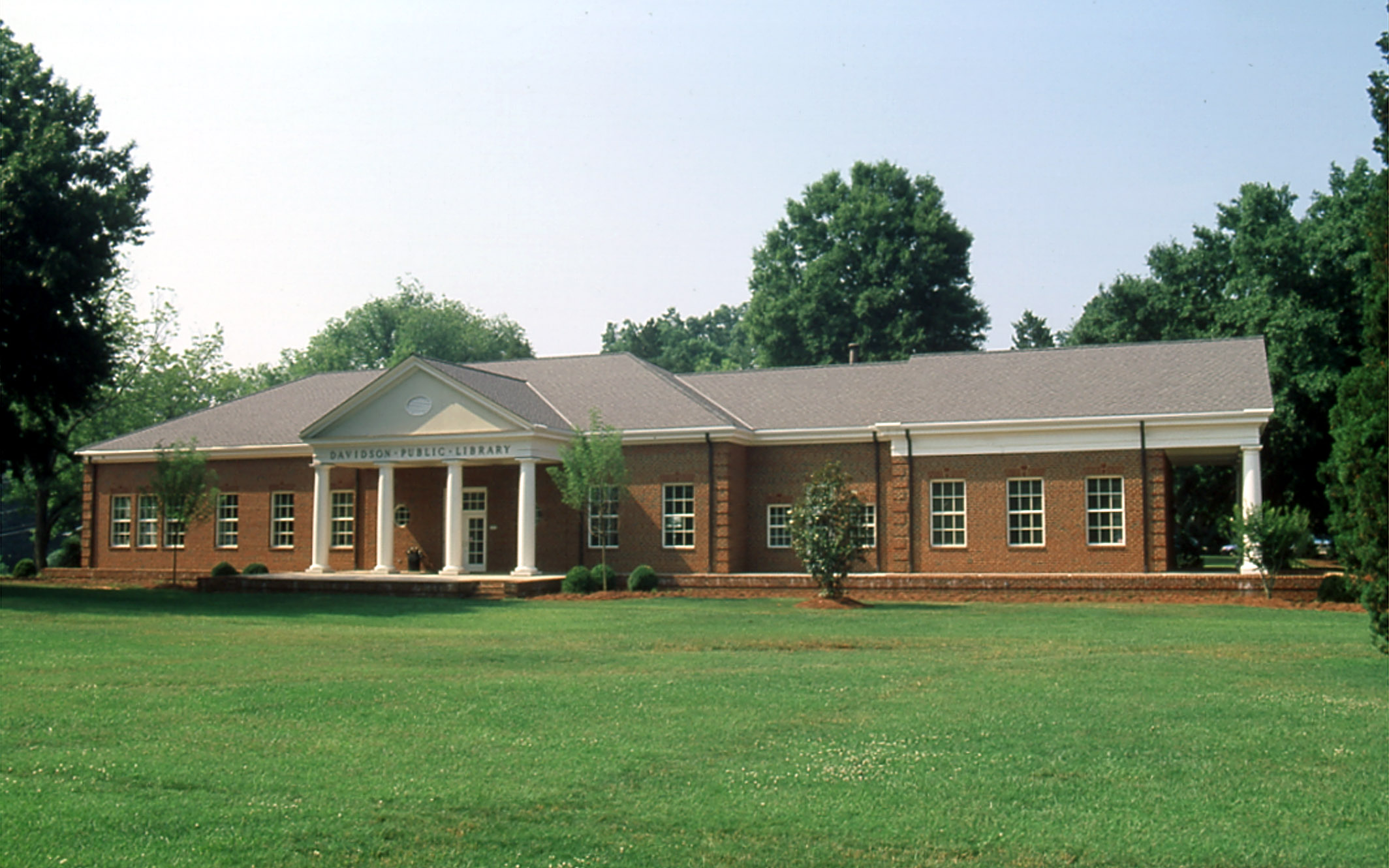
Libraries
Davidson is served by a branch of the Public Library of Charlotte and Mecklenburg County.[4] The library is located on the Green in Davidson.
35°29′54.36″N 80°50′53.919″W / 35.4984333°N 80.84831083°W
References
- ^ a b "American FactFinder". United States Census Bureau. http://factfinder.census.gov. Retrieved 2008-01-31.
- ^ "US Board on Geographic Names". United States Geological Survey. 2007-10-25. http://geonames.usgs.gov. Retrieved 2008-01-31.
- ^ "US Gazetteer files: 2010, 2000, and 1990". United States Census Bureau. 2011-02-12. http://www.census.gov/geo/www/gazetteer/gazette.html. Retrieved 2011-04-23.
- ^ "Davidson branch of the Public Library of Charlotte and Mecklenburg County". http://plcmc.org/Locations/branches.asp?id=8. Retrieved 2008-10-25.
External links
- Official Davidson, NC website
- Lake Norman Chamber of Commerce
- Visit Lake Norman
- DavidsonNews.net, a privately-run community news website
- Davidson branch of the Public Library of Charlotte and Mecklenburg County
- LKN Social - Lake Norman's Social Group
Charlotte Metropolitan Area Counties 
Major city Cities and towns
20k-99kConcord • Gastonia • Huntersville • Kannapolis • Matthews • Monroe • Hickory • Mooresville • Rock Hill • Salisbury • Shelby • StatesvilleCities and towns
5k-20kAlbemarle • Belmont • Bessemer City • Chester • Cherryville • Conover • Cornelius • Davidson • Fort Mill • Indian Trail • Kings Mountain • Lancaster • Lincolnton • Mint Hill • Mount Holly • South Gastonia • Unionville • Wadesboro • Weddington • YorkFootnotes Bold = principal metro cities • Italic = places and counties part of CSAMunicipalities and communities of Mecklenburg County, North Carolina County seat: Charlotte City 
Towns Cornelius | Davidson‡ | Huntersville | Matthews | Midland‡ | Mint Hill‡ | Pineville | Stallings‡ | Weddington‡
Footnotes ‡This populated place also has portions in an adjacent county or counties
Categories:- Populated places in Iredell County, North Carolina
- Populated places in Mecklenburg County, North Carolina
- Towns in North Carolina
- University towns in the United States
- Populated places established in 1837


Wikimedia Foundation. 2010.