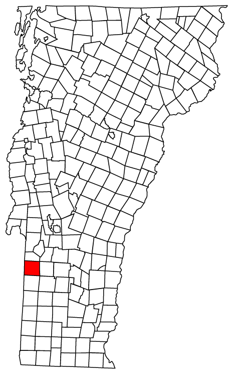
- Pawlet, Vermont
-
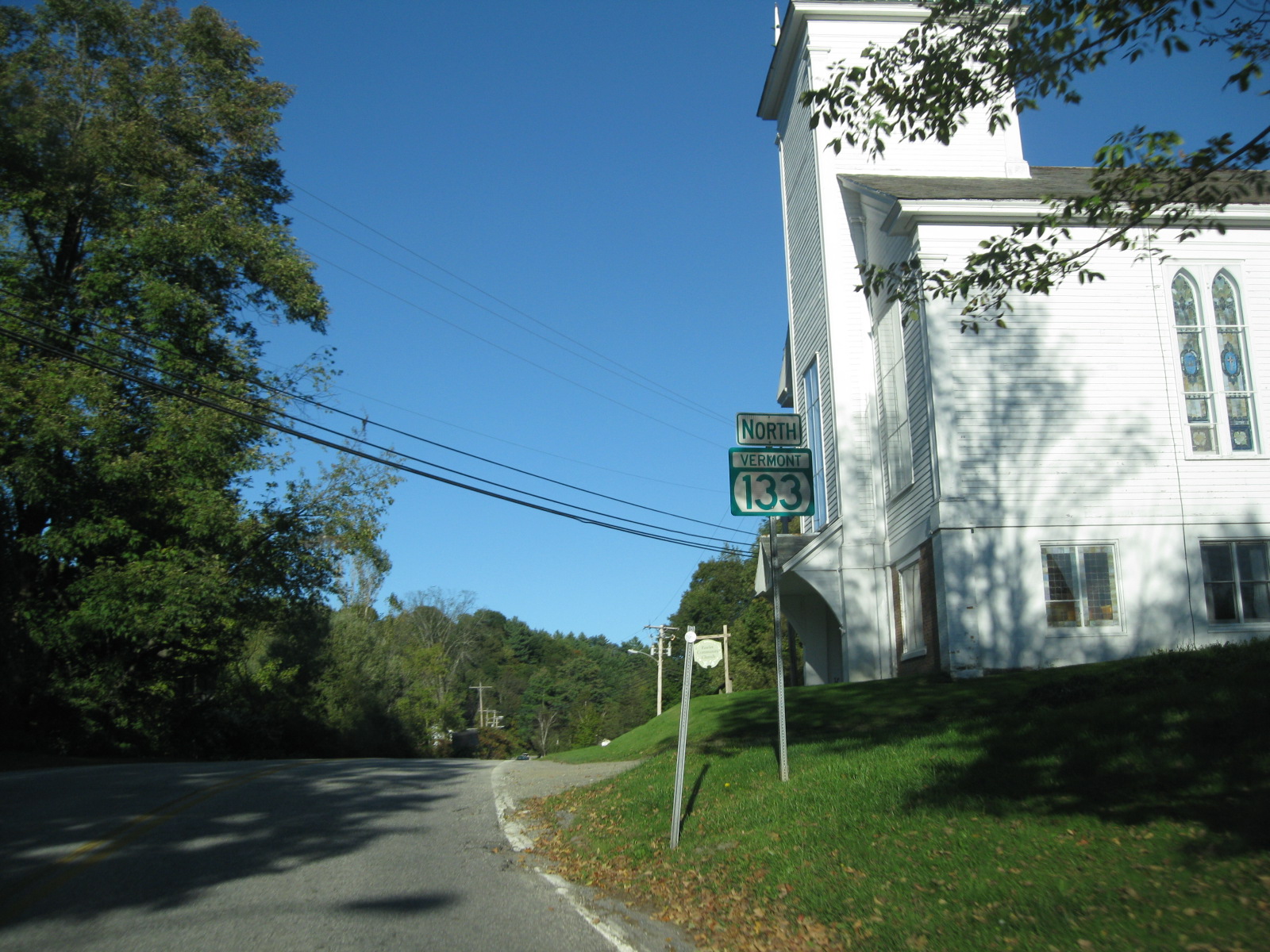
Pawlet, Vermont — Town — Vermont Route 133 heading northward through Pawlet Pawlet, Vermont
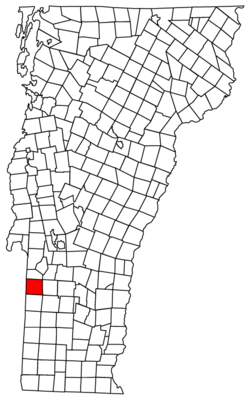
Coordinates: 43°22′28″N 73°12′7″W / 43.37444°N 73.20194°WCoordinates: 43°22′28″N 73°12′7″W / 43.37444°N 73.20194°W Country United States State Vermont County Rutland Area – Total 42.9 sq mi (111.1 km2) – Land 42.9 sq mi (111.1 km2) – Water 0.0 sq mi (0.0 km2) Elevation 630 ft (192 m) Population (2010) – Total 1,477 – Density 34.4/sq mi (13.3/km2) Time zone Eastern (EST) (UTC-5) – Summer (DST) EDT (UTC-4) ZIP code 05761 Area code(s) 802 FIPS code 50-54250[1] GNIS feature ID 1462170[2] Website http://www.pawlet.com Pawlet is a town in Rutland County, Vermont, United States. The population was 1,477 at the 2010 census.[3]
Contents
Geography
According to the United States Census Bureau, the town has a total area of 42.9 square miles (111 km2), of which 0.02% is water.
Pawlet is a rural farming town. The local school (Mettawee Community School) is about five minutes from downtown Pawlet and downtown West Pawlet.
Demographics
As of the census[1] of 2000, there were 1,394 people, 575 households, and 396 families residing in the town. The population density was 32.5 people per square mile (12.5/km2). There were 707 housing units at an average density of 16.5 per square mile (6.4/km2). The racial makeup of the town was 98.85% White, 0.29% African American, 0.65% Native American, and 0.22% from two or more races. Hispanic or Latino of any race were 0.79% of the population.
There were 575 households out of which 29.4% had children under the age of 18 living with them, 56.5% were married couples living together, 8.5% had a female householder with no husband present, and 31.0% were non-families. 26.1% of all households were made up of individuals and 11.7% had someone living alone who was 65 years of age or older. The average household size was 2.42 and the average family size was 2.92.
In the town the population was spread out with 24.8% under the age of 18, 5.1% from 18 to 24, 27.0% from 25 to 44, 27.3% from 45 to 64, and 15.8% who were 65 years of age or older. The median age was 40 years. For every 100 females there were 101.2 males. For every 100 females age 18 and over, there were 101.5 males.
The median income for a household in the town was $36,429, and the median income for a family was $42,750. Males had a median income of $27,847 versus $22,262 for females. The per capita income for the town was $20,726. About 8.3% of families and 9.5% of the population were below the poverty line, including 14.0% of those under age 18 and 8.2% of those age 65 or over.
Notable people
- Frederick W. Adams (1786–1858), noted physician, born in Pawlet
- William Fairfield, businessman and politician in Upper Canada
- James Campbell Hopkins, federal judge
References
- ^ a b "American FactFinder". United States Census Bureau. http://factfinder.census.gov. Retrieved 2008-01-31.
- ^ "US Board on Geographic Names". United States Geological Survey. 2007-10-25. http://geonames.usgs.gov. Retrieved 2008-01-31.
- ^ "Profile of General Population and Housing Characteristics: 2010 Demographic Profile Data (DP-1): Pawlet town, Vermont". U.S. Census Bureau, American Factfinder. http://factfinder2.census.gov. Retrieved November 4, 2011.
External links
Municipalities and communities of Rutland County, Vermont City 
Towns Benson | Brandon | Castleton | Chittenden | Clarendon | Danby | Fair Haven | Hubbardton | Ira | Killington | Mendon | Middletown Springs | Mount Holly | Mount Tabor | Pawlet | Pittsfield | Pittsford | Poultney | Proctor | Rutland | Shrewsbury | Sudbury | Tinmouth | Wallingford | Wells | West Haven | West Rutland
Village CDPs Other
communitiesBelmont | Florence
Categories:- Towns in Vermont
- Pawlet, Vermont
- Populated places in Rutland County, Vermont

Wikimedia Foundation. 2010.