- Clarendon, Vermont
-
Clarendon, Vermont — Town — Clarendon, Vermont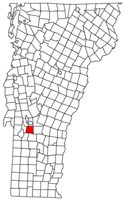
Coordinates: 43°32′N 72°58′W / 43.533°N 72.967°WCoordinates: 43°32′N 72°58′W / 43.533°N 72.967°W Country United States State Vermont County Rutland Area – Total 31.6 sq mi (81.7 km2) – Land 31.6 sq mi (81.7 km2) – Water 0.0 sq mi (0.0 km2) Elevation 538 ft (164 m) Population (2010) – Total 2,571 – Density 81.5/sq mi (31.5/km2) Time zone Eastern (EST) (UTC-5) – Summer (DST) EDT (UTC-4) ZIP code 05759 Area code(s) 802 FIPS code 50-14500[1] GNIS feature ID 1462072[2] Clarendon is a town in Rutland County, Vermont, United States. The population was 2,571 at the 2010 census.[3] Clarendon spans U.S. Route 7 and is split by the highway, the Cold River and Mill River, Otter Creek, and the Green Mountains into the villages of Clarendon, West Clarendon, East Clarendon, Clarendon Springs, and North Clarendon.
Contents
History
The area that later formed the Town of Clarendon was settled by families from lower New England as early as 1762. It and the surrounding area was then part of Albany County, New York, but was later split off as Charlotte County until Vermont declared itself as a republic around 1788. Land claims by New Hampshire were eventually settled, and in 1795 Vermont became a state.
Clarendon now includes the following entries on the National Register of Historic Places:
- Brown Covered Bridge — bridges the Cold River on Cold River Road in North Clarendon (added February 21, 1974)
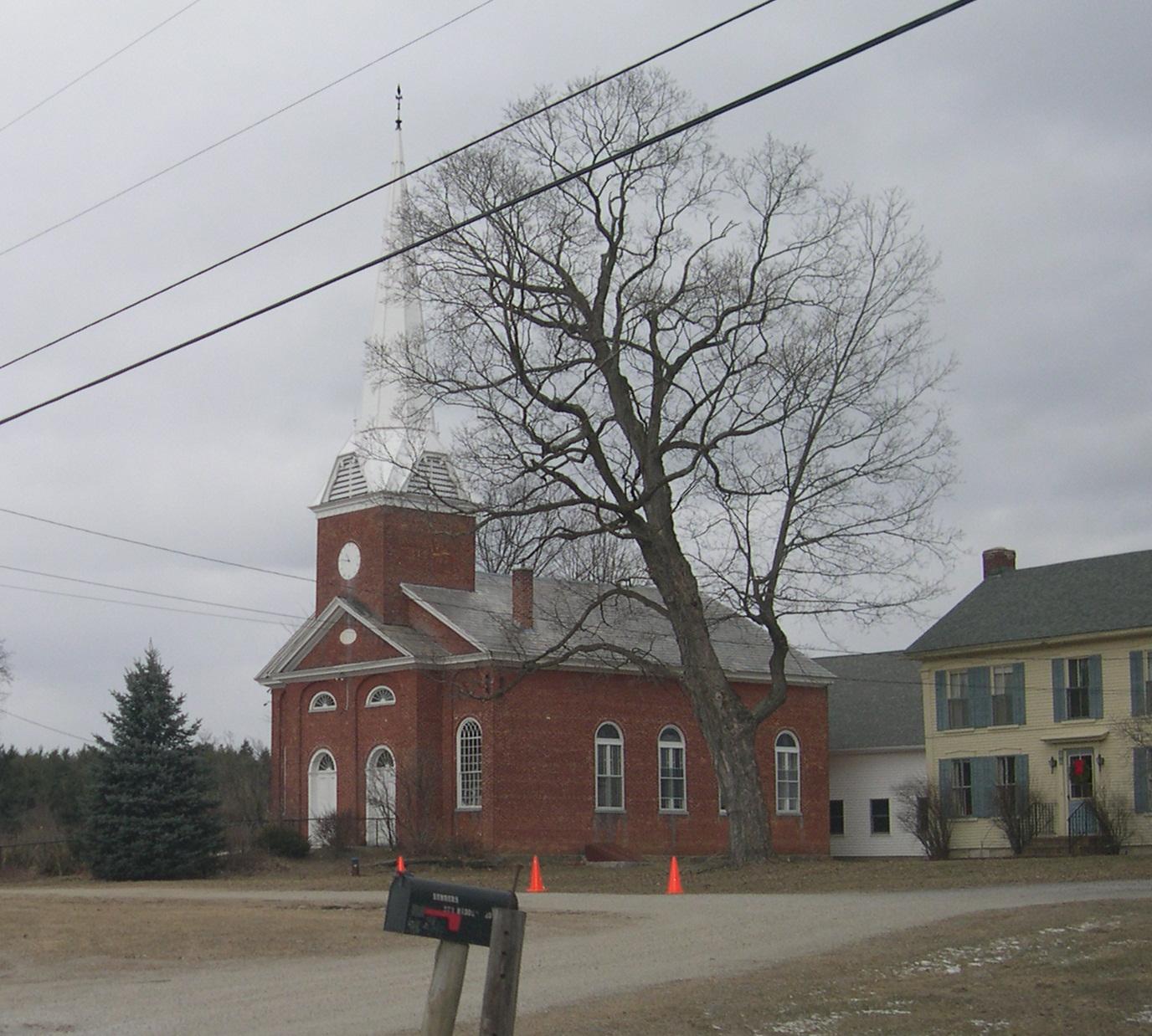
- Clarendon Congregational Church — Middle Rd. (added August 12, 1984)
- Clarendon House — off VT 133 in Clarendon Springs (added June 17, 1976)
- The Clarendon House hotel was a spa resort destination in the early 20th century
- Cold River Bridge — VT 7B over the Cold R. (added December 14, 1991)
- East Clarendon Railroad Station — VT 103 and East Rd. (added April 8, 1999)
- The former East Clarendon Railroad Station is a restaurant today
- Kingsley Covered Bridge — bridges the Mill River on East Street in East Clarendon (added March 12, 1974)
-

Clarendon Congregational Church
-

Clarendon House, Clarendon Springs
-

Former East Clarendon Railroad Station
-
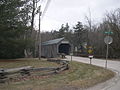
Kingsley Covered Bridge, East Clarendon
Geography
According to the United States Census Bureau, the town has a total area of 31.6 square miles (81.7 km2), all of it land.
The Clarendon Gorge, accessible using the combined Appalachian Trail/Long Trail, is a popular local geographical feature. One must cross a 30-foot-long (9.1 m) suspension bridge to reach the waterfall and swimming holes as well as to connect with the Appalachian Trail National Scenic Trail.
Clarendon Gorge (Upper Falls):
- Height: 8-foot (2.4 m) total drop
- Water Source: Mill River
- Trail Length: .01 mile
- Trail Difficulty: Easy[4]
Demographics
As of the census[1] of 2000, there were 2,811 people, 1,136 households, and 784 families residing in the town. The population density was 89.1 people per square mile (34.4/km2). There were 1,207 housing units at an average density of 38.3 per square mile (14.8/km2). The racial makeup of the town was 98.08% White, 0.28% African American, 0.32% Native American, 0.57% Asian, 0.21% from other races, and 0.53% from two or more races. Hispanic or Latino of any race were 0.50% of the population.
There were 1,136 households out of which 31.2% had children under the age of 18 living with them, 58.0% were married couples living together, 7.5% had a female householder with no husband present, and 30.9% were non-families. 24.0% of all households were made up of individuals and 7.4% had someone living alone who was 65 years of age or older. The average household size was 2.47 and the average family size was 2.94.
In the town the population was spread out with 23.1% under the age of 18, 6.8% from 18 to 24, 27.7% from 25 to 44, 32.1% from 45 to 64, and 10.4% who were 65 years of age or older. The median age was 42 years. For every 100 females there were 97.1 males. For every 100 females age 18 and over, there were 98.2 males.
The median income for a household in the town was $41,597, and the median income for a family was $48,534. Males had a median income of $31,122 versus $24,375 for females. The per capita income for the town was $19,801. About 5.4% of families and 7.7% of the population were below the poverty line, including 8.3% of those under age 18 and 12.7% of those age 65 or over.
Notable people
- George F. Emmons, naval officer, on voyage which discovered Antarctic
References
- ^ a b "American FactFinder". United States Census Bureau. http://factfinder.census.gov. Retrieved 2008-01-31.
- ^ "US Board on Geographic Names". United States Geological Survey. 2007-10-25. http://geonames.usgs.gov. Retrieved 2008-01-31.
- ^ "Race, Hispanic or Latino, Age, and Housing Occupancy: 2010 Census Redistricting Data (Public Law 94-171) Summary File (QT-PL), Clarendon town, Vermont". U.S. Census Bureau, American FactFinder 2. http://factfinder2.census.gov. Retrieved November 2, 2011.
- ^ [1] New England Waterfalls. Retrieved 2010-11-04.
External links
Municipalities and communities of Rutland County, Vermont City 
Towns Benson | Brandon | Castleton | Chittenden | Clarendon | Danby | Fair Haven | Hubbardton | Ira | Killington | Mendon | Middletown Springs | Mount Holly | Mount Tabor | Pawlet | Pittsfield | Pittsford | Poultney | Proctor | Rutland | Shrewsbury | Sudbury | Tinmouth | Wallingford | Wells | West Haven | West Rutland
Village CDPs Other
communitiesBelmont | Florence
Categories:- Towns in Vermont
- Clarendon, Vermont
- Populated places in Rutland County, Vermont


Wikimedia Foundation. 2010.