- Kayunga District
-
"Kayunga District" redirects here. For Kayunga Town, see Kayunga.
Kayunga District — District — District location in Uganda
Coordinates: 01°00′N 32°52′E / 1°N 32.867°E Country  Uganda
Region Central Uganda Capital Kayunga Population (2002 Estimate) – Total 297,100 Time zone EAT (UTC+3) Website Homepage Kayunga District is a district in Central Uganda. Like most other Ugandan districts, it is named after its 'chief town', Kayunga.
Contents
Location
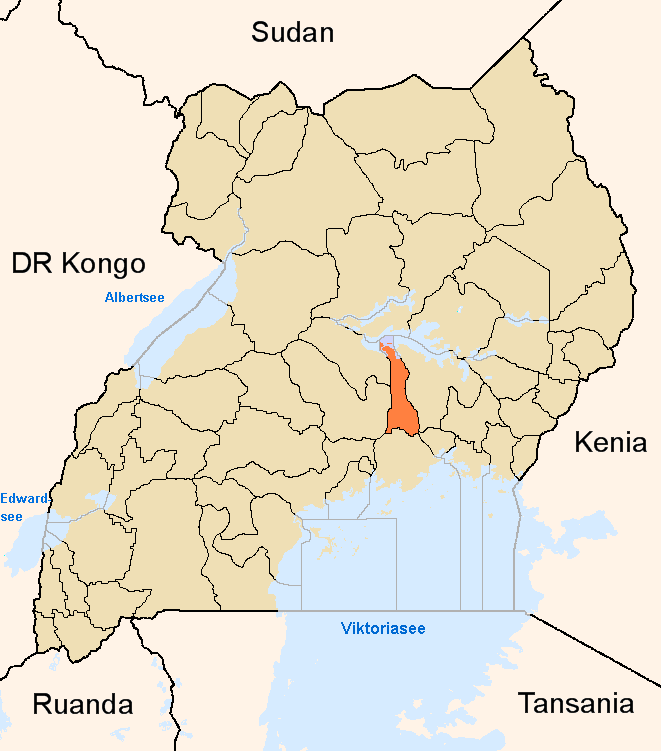
Kayunga District is bordered by Amolatar District to the north, Buyende District to the northeast, Kamuli District to the east, Jinja District to the southeast, Buikwe District to the south, Mukono District to the southwest, Luweero District to the west, Nakasongola District to the northwest. Kayunga, where the district headquarters are located, lies approximately 74 kilometres (46 mi) northeast of Kampala, on an all-weather tarmac highway.[1] The coordinates of the district are:01 00N, 32 52E.
Overview
Kayunga District was carved out of Mukono District in December 2000. The district consists of two counties, Bbaale County and Ntenjeru County.[2]
Population
According to the 2002 national population census, Kayunga District had a total population of 297,081 people, of whom 144,609 (48.7%) were males and 152,472 (51.3%) were females. The urbanization level is 6.7% indicating that the majority of the population lives in rural areas. There is one municipality in the district; Kayunga Town.[3]
Economic Activity
Agriculture is the main economic activity in Kayunga district and represents 90% of the total employment. Kayunga practices two types of agriculture: (a) animal husbandry or livestock farming and (b) crop husbandry of subsistence agriculture. Some of the crops raised in the district include:[4]
- Vanilla
- Cassava
- Matooke
- Pineapples
- Maize
- Millet
- Watermelon
- Passion fruit
Secession from Buganda
In September 2009, Kayunga attempted to secede from the traditional Kingdom of Buganda. The King attempted to visit but was banned by the Ugandan government, provoking riots in Kampala.[5] A total of thirty (30) people were killed.
See also
- Bbaale County
- Ntenjeru County
- Kayunga
- Central Region, Uganda
- Districts of Uganda
External links
References
 Regions and Districts of Uganda
Central Eastern Amuria · Budaka · Bududa · Bugiri · Bukedea · Bukwa · Bulambuli · Busia · Butaleja · Buyende · Iganga · Jinja · Kaberamaido · Kaliro · Kamuli · Kapchorwa · Katakwi · Kibuku · Kumi · Kween · Luuka · Manafwa · Mayuge · Mbale · Namayingo · Namutumba · Ngora · Pallisa · Serere · Sironko · Soroti · TororoNorthern Western Categories:- Kayunga District
- Districts of Uganda
- Central Region, Uganda
- Lake Kyoga
- White Nile
Wikimedia Foundation. 2010.