- List of defunct San Francisco Municipal Railway lines
-
This is a list of defunct San Francisco Municipal Railway bus, streetcar/light rail, and cable car routes.
Contents
Defunct bus routes
Line Inbound Terminal Outbound Terminal Reason for discontinuing Areas served Year Started Year Discontinued 4 Sutter(TC) Sutter Street & Sansome Street 6th Avenue & California Street Low ridership Richmond District, Laurel Heights, Western Addition, Japantown, Financial District 1948 2009 7 Haight(TC) Mission Street & Main Street Haight Street & Stanyan Street Low ridership Haight-Ashbury, Haight-Fillmore, Market Street, Civic Center, Financial District 1948 2009 8 Market (TC) Ferry Building Collingwood & 19th Streets Replaced by F Market & Wharves The Embarcadero, Market Street, Financial District, Civic Center, The Castro[1] 1945 1995 15 Third Street Kearny & Bay Streets City College Replaced by T Third Street and 9X (now 8X) Bayshore Express[2] Fisherman's Wharf, Chinatown, Union Square, Mission Bay, Dogpatch, Islais Creek, Bayview/Hunters Point, Visitacion Valley[2] 1941 2007 16 Noriega 5th St & Market 48th Avenue and Ortega Portions merged with the 28 19th Avenue, 71 Haight-Noriega. Downtown San Francisco, Hayes Valley, Western Addition, Richmond, Sunset 16AX Noriega 'A' Express Market Street & 4th Street Ortega Street & 48th Avenue Combined with 16BX to become 16X Sunset District, Golden Gate Park, Civic Center, Tenderloin 2009 16BX Noriega 'B' Express Market Street & 4th Street Noriega Street & Sunset Boulevard Combined with 16AX to become 16X Sunset District, Golden Gate Park, Civic Center, Tenderloin 2009 17X Parkmerced Express John Muir Drive Daly City BART Merged into 88 BART Shuttle Lake Merced, Parkmerced 20 Columbus (TC) Beale Street & Howard Street Van Ness Avenue & North Point Street Low ridership Financial District, Fisherman's Wharf, North Beach, Chinatown, Financial District, South of Market 2007 2009 26 Valencia Mission Street & 5th Street Balboa Park Station, San Francisco State University Low ridership South of Market, Mission District, Glen Park, Balboa Park 1945 2009 32 Embarcadero Hyde & Jefferson Streets Ferry Building, Caltrain Depot Replaced by F Market & Wharves and N Judah Fisherman's Wharf, Ferry Building, The Embarcadero 1927 2000 34 Woodside Myra & Dalewood Forest Hill Station Merged into 36 Teresita Mount Davidson, Miraloma Park, Midtown Terrace, Forest Hill 1961 42 Downtown Loop Caltrain Depot Caltrain Depot Split into 47 Van Ness and 10 Townsend Financial District, Caltrain Depot, South of Market, Nob Hill, Fisherman's Wharf, Levi Plaza 1980 2001 53 Southern Heights 16th Street & Mission Street
16th Street Mission Station; Weekdays
16th Street & Bryant Street
WeekendsConnecticut Street & 18th Street Low ridership Mission District, Potrero Hill 1932 2009 55 Sacramento (TC) Howard & Main Streets 6th Avenue & Clement Street Merged with 1 California Financial District, Chinatown, Nob Hill, Richmond, Laurel Heights[1] 1942 1982 73 Lincoln Way 5th and Market Streets Sloat & Sunset Boulevards Split into 29 Sunset and 71 Haight-Noriega Financial District, Haight-Ashbury, Sunset District, Parkside 74X CultureBus Howard & New Montgomery Golden Gate Park Low ridership SoMA, Golden Gate Park, Union Square [3] 2008 2009 83 Pacific Pacific & Van Ness Avenues Battery Street & Pacific Avenue Merged into 12 Folsom-Pacific Chinatown, Nob Hill 1979 89 Laguna Honda Forest Hill Station Laguna Honda Hospital Low ridership Laguna Honda Hospital, Forest Hill 2009 Defunct streetcar routes
Geary Routes Route map 

Embarcadero E Union 
Montgomery 
Powell J, K, L, M, and N 
Union Square F Stockton 
Geary and Jones 
Geary and Van Ness D and H Geary and Laguna Geary and Steiner Geary and Divisadero Geary and Baker Geary and Masonic Geary and Cook Geary and Stanyan Geary and 2nd Avenue 

C Geary-California 
Cornwall and 2nd Avenue 6th Avenue 10th Avenue 
A Geary-10th 10th and Balboa 
10th and Fulton Park Presidio Boulevard 19th Avenue 25th Avenue Lincoln Park Balboa and 33rd Avenue 37th Avenue 41st Avenue Cabrillo and 45th Avenue Playland A Geary-10th Avenue
The A Geary-10th Avenue was Muni's first streetcar line, running from Market Street and Kearny Street, and later from the Ferry Building, along Geary and 10th Avenue to Fulton Street.[4] The route was discontinued on December 5, 1932.[5] Part of the route is currently under study to be restored as bus rapid transit and possibly as a streetcar route.[6]
B Geary
The B Geary (also known as the B Geary-Ocean) was a streetcar route that operated along Market Street and Geary Boulevard to the Playland amusement park along Ocean Beach. It originally ran as a shuttle between 10th Avenue and 33rd Avenue, and was later extended east along Geary and Market Street to the Ferry Building to the east, and along 33rd Avenue, Balboa, 45th Avenue and Cabrillo to Great Highway to the west.[7] The line was replaced with the 38 Geary bus route on December 29, 1956.[5][8]
Currently there are plans to construct a bus rapid transit corridor on Geary Boulevard between Van Ness Avenue and 33rd Avenue. Funding has not been identified to build rail in this corridor, however the BRT project includes the possibility of "light rail ready" construction that would enable a future conversion to rail if funding becomes available.
C Geary-California
The C California (also known as the C Geary-California) was a streetcar route that ran from the Ferry Building along Market Street, Geary, 2nd Avenue, Cornwall, and California to 33rd Avenue.[7] The route was cut short in 1950 to California and 2nd Avenue with the opening of the 1 California bus line, and was removed along with the B Geary on December 29, 1956.[8] Part of the route is currently under study to be restored for Bus Rapid Transit.[5][6]
This route was created shortly after the Market Street Railway's franchise expired on California street. By 1950, the line was essentially a short-turn version of the B Geary streetcar route, which continued out to Ocean Beach.
D Geary-Van Ness
The D Geary-Van Ness was a streetcar route created on August 15, 1914 that originally ran from the Ferry Building along Market Street, Geary, Van Ness, and Chestnut to Scott.[5] In 1918, the route was changed to operate on Union Street instead of Chestnut, and was extended along Steiner Street and Greenwich Street and into the Presidio later that year.[7]
The route was replaced with buses on March 18, 1950.[4] This is one of four routes planned as a result of the 1915 Panama-Pacific International Exposition. Today, parts of the Geary and Van Ness Corridors it once traveled is currently up for study for Bus Rapid Transit, and possibly, restoration of light rail transit in the area.[6][9]
E Union
The E Union was a streetcar route that ran from the Ferry Building to the Presidio via The Embarcadero, Washington/Jackson, Columbus, Union, Larkin, Vallejo, Franklin, Union, Baker and Greenwich into the Presidio.[7] The route was replaced on April 21, 1947[5] with the 41-Union bus route, which still runs today. This is one of four routes planned as a result of the 1915 Panama-Pacific International Exposition.[4][10]
E Embarcadero
Ran between Embarcadero Station and Caltrain Depot along the Embarcadero before N Judah took over this service.
F Stockton
The F Stockton was a streetcar route that ran from Market and Stockton to the Marina District via Stockton, Columbus, North Point, Van Ness, and Chestnut to Laguna. In 1916, the line was extended from Chestnut and Laguna to Chestnut and Scott, and was extended in 1947 from Market and Stockton down 4th Street to the Southern Pacific terminal on Townsend.[7] The route was replaced on January 20, 1951,[5] with the 30-Stockton bus route, which still runs today, and is notable for being the slowest trolleybus route in the city of San Francisco because it travels through the densely populated neighborhood of Chinatown. This was one of four routes planned as a result of the 1915 Panama-Pacific International Exposition.[4][10] Today, the F designation is used for the F Market & Wharves historic streetcar route.
The southernmost part of this route, from Market to Jackson, will again be served by light rail when the Central Subway is built. Presumably, after the completion of the Central Subway, the rest of the present 30 Stockton bus line can be eventually converted to surface light rail extending to the Presidio, depending on where the eventual exit from the subway tunnel is placed.
H Potrero
The H Potrero streetcar line was created on August 15, 1914, to serve the Panama-Pacific International exposition.[4] It ran from Army Street (Now Cesar Chavez Street) and Potrero to a terminal inside Fort Mason, via Potrero, Division, 11th Street and Van Ness. In 1946 the line was extended along former Market Street Railway trackage on Bayshore and San Bruno to Arleta. The southern terminal was cut back to San Bruno and Wilde in 1947, and in 1948 the northern terminal was cut back to Van Ness and Bay. The route was replaced on March 19, 1950, with the 47 Potrero bus line.[7] The 47 line has since been changed and no longer runs on Potrero, and the only bus line that follows the old H line is the nighttime-only 90 Owl.
A possible bus rapid transit project is currently in the works with the San Francisco County Transportation Authority. A feasibility study was conducted earlier in 2007, and may open as soon as 2011.[9] The SFCTA currently does not have plans to revive the H-Potrero streetcar line.
Temporary routes
The G Exposition, I Exposition, and J Exposition were temporary streetcar lines that were created in 1915 and 1916 to serve the Panama-Pacific International Exposition.[5] The G line was a combination of the E and F routes, running from Market and Stockton to the Presidio. The I line only ran for three days in February 1915, from 33rd Avenue and Geary via Geary, Van Ness, Chestnut, Scott, Greenwich and Steiner to Union. The J line, which is unrelated to the current J Church line, ran via Columbus from the Ferry Building to Fort Mason and later to Chestnut and Scott.[7]
The O Van Ness line operated briefly between June 1, 1932 and July 15, 1932, along part of the E Union from Van Ness and Union to the Ferry Building. During this time, the E line ran down Van Ness to Market instead of to the Ferry Building.[7]
The E Embarcadero Muni Metro line ran along new track from Embarcadero Station, along The Embarcadero and King Street to the Caltrain terminal on 4th Street in 1998, and was later replaced by an extension of the N Judah line.
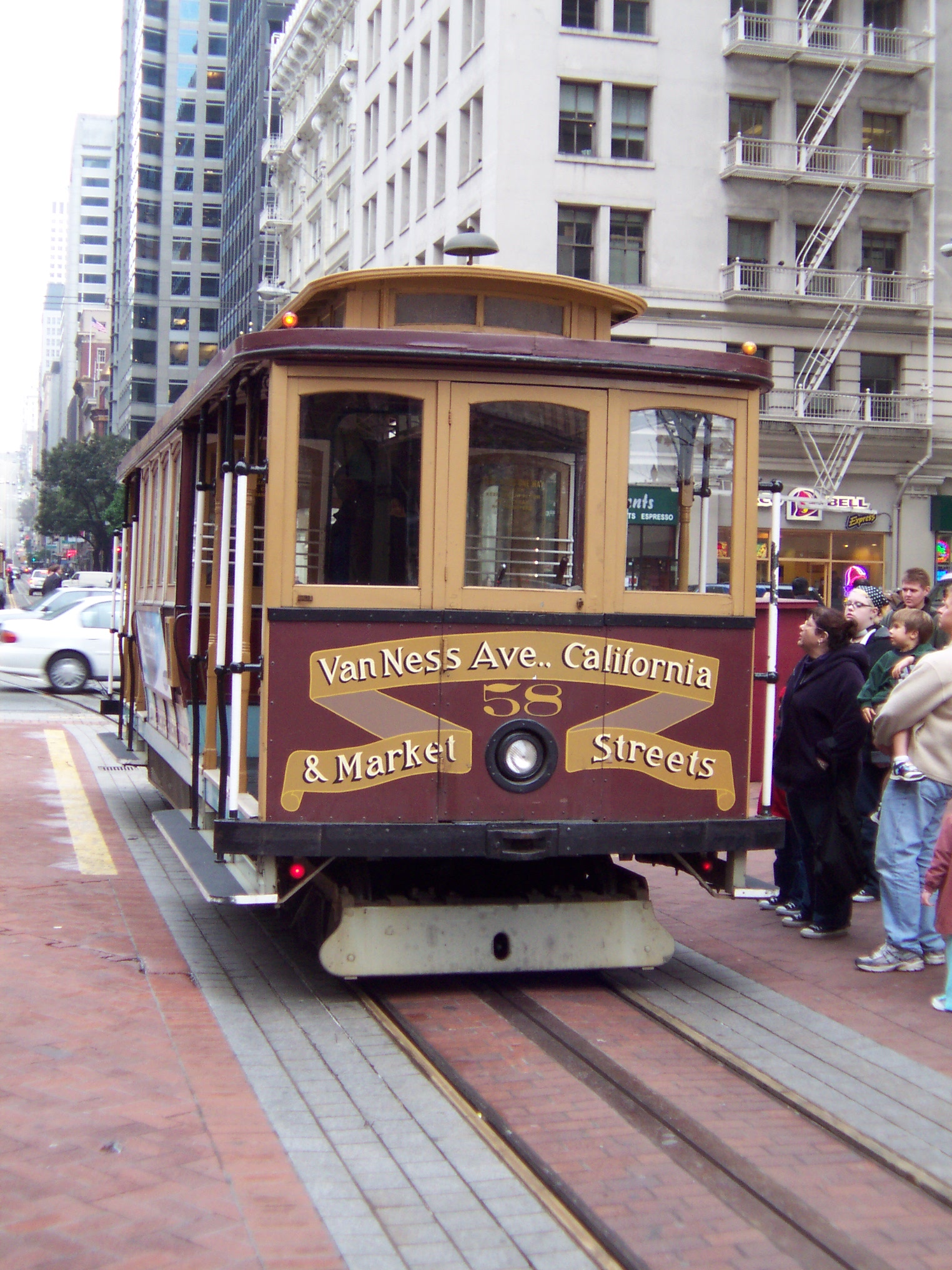
Defunct cable car routes
Note: Before 1956, the California Street Cable Car line extended all the way from California and Market to California and Presidio Ave. in the Richmond District.
Line Inbound Terminal Outbound Terminal Reason for discontinuing Areas served Year Started Year Discontinued O'Farrell-Jones-Hyde Began at Market and O'Farrell, down O'Farrell to Jones (there was a cable car shuttle from Market and Jones to O'Farrell and Jones), down Jones to Pine, down Pine to Hyde, down Hyde to North Point (used California St. style double-ended cable cars) Hyde and North Point 1956 decision to close down all cable lines except those originating on California St. and Powell St. and end all cable car lines at Van Ness Ave. Tenderloin, Russian Hill, Fisherman's Wharf 1952 (taken over from California Street Cable Railroad) 1956 Powell-Washington-Jackson Began at Market and Powell, down Powell to Jackson, down Jackson to Steiner, back downtown from Steiner on Washington (used Powell St. style single-ended cable cars) Jackson and Steiner 1956 decision to close down all cable lines except those originating on California St. and Powell St. and end all cable car lines at Van Ness Ave. Nob Hill, Pacific Heights 1944 (taken over from Market Street Railway) 1956
See also
- San Francisco Municipal Railway
- List of San Francisco Municipal Railway lines
- E Embarcadero
- F Market & Wharves
References
- ^ a b "History of Trolley Buses in San Francisco". San Francisco Municipal Railway. May 8, 2003. Archived from the original on 2007-07-14. http://web.archive.org/web/20070714002732/http://www.sfmta.com/cms/ains/trollhist.htm. Retrieved 2010-02-01.
- ^ a b Rachel Gordon (Monday, April 9, 2007). "S.F.'s New T-Third Streetcar Line Hits A Few Bumps". The San Francisco Chronicle. http://www.sfgate.com/cgi-bin/article.cgi?f=/c/a/2007/04/09/BAGM1P5BGI13.DTL&hw=Third+Street&sn=022&sc=322. Retrieved 2010-02-01.
- ^ Rachel Gordon; Marisa Lagos (Saturday, August 15, 2009). "Muni's CultureBus A Bust - Runs End Tonight". The San Francisco Chronicle. http://www.sfgate.com/cgi-bin/article.cgi?f=/c/a/2009/08/15/BAGJ1990R0.DTL. Retrieved 2010-02-01.
- ^ a b c d e "The First Days of the Municipal Railway". San Francisco Municipal Railway. December 11, 2002. Archived from the original on 2007-07-13. http://web.archive.org/web/20070713235611/http://www.sfmta.com/cms/ains/firstdays.htm. Retrieved 2010-02-01.
- ^ a b c d e f g "San Francisco Transit Routes". Chicago Transit & Railfan Website. 2009. http://web.me.com/willvdv/chirailfan/sfodate.html. Retrieved 2010-02-01.
- ^ a b c "Geary Corridor Bus Rapid Transit". San Francisco County Transportation Authority. 2009. http://www.sfcta.org/geary. Retrieved 2010-02-01.
- ^ a b c d e f g h Perles, Anthony; McKane, John (1982). Inside Muni: The Properties and Operations of the Municipal Railway of San Francisco. Interurban Press. ISBN 0-916374-49-1.
- ^ a b "End of the line - The last days of the B & C". Museums in Motion. Streetcar.org. 2007. http://www.streetcar.org/mim/spotlight/yesterday/endofline/index.html. Retrieved 2010-02-01.
- ^ a b "Van Ness BRT Feasibility Study". San Francisco County Transportation Authority. 2009. http://www.sfcta.org/content/view/425/252/. Retrieved 2010-02-01.
- ^ a b "Historic Streetcar FAQ". Museums in Motion. Streetcar.org. 2007. http://www.streetcar.org/mim/streetcars/faq/index.html. Retrieved 2010-02-01.
External links
- San Francisco Municipal Transportation Agency (SFMTA) official website
- San Francisco Transportation Authority (SFCTA) official website
San Francisco Municipal Railway Muni Metro 
Muni Metro system features Other Muni services Current projects Future projects Agencies and organizations Connecting services Museums Other information Key System · List of defunct Muni lines · Market Street Railway (transit operator) · Muni vehicle fleet · Rescue Muni · Third Street Light Rail ProjectCategories:- San Francisco Municipal Railway
- Lists of former rail lines
- California-related lists
- Lists of former bus routes
- San Francisco-related lists
- Light rail in California
Wikimedia Foundation. 2010.