- Twin Peaks Tunnel
Infobox tunnel
name = Twin Peaks Tunnel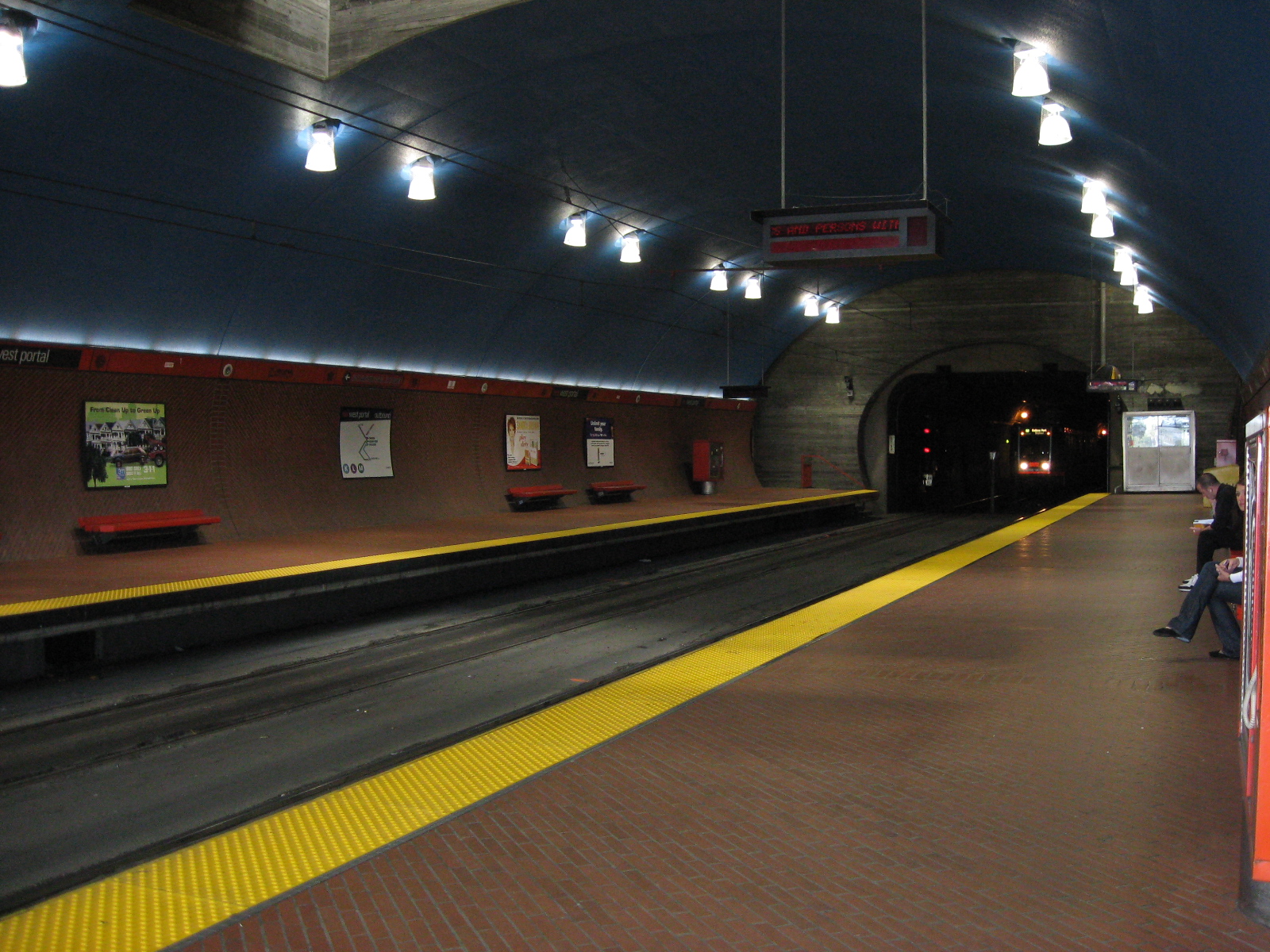
caption = West Portal Station, at the western end of the Twin Peaks Tunnel
line = Rail color box|system=MUNI|line=K
location = San Francisco,California
coordinates =
system =Muni Metro
status =
start =Eureka Station
end =West Portal Station
stations = 3 (2 open, 1 closed)
open =February 3 1918 cite web
url = http://www.sfgenealogy.com/sf/history/hgtun.htm
title = San Francisco History - City's Tunnels
accessdate = 2008-07-14
last = Wallace
first = Kevin
date =March 27 1949
work = The City's Tunnels: When S.F. Can't Go Over, It Goes Under Its Hills
publisher = "San Francisco Chronicle " ]
close =
owner = SFMTA
operator =San Francisco Municipal Railway
character =Light rail
linelength = convert|2.27|mi|abbr=on
tracklength =
notrack = 2
gauge = RailGauge|ussg
el = 600 V
speed =
hielevation =
lowelevation=
height = convert|25|ft|abbr=on
grade =|The Twin Peaks Tunnel is a convert|2.27|mi|adj=on long streetcar tunnel in
San Francisco, California ,United States running under Twin Peaks. When it was opened onFebruary 3 ,1918 [ [http://www.outsidelands.org/wotp.php West of Twin Peaks] , Western Neighborhood Projects] , it was one of the longest railway tunnels in the world (Paris Métro 's line 1, opened in 1900, beat it by a few miles, as did some of theLondon Underground lines). It was the longest U.S. railway tunnel west ofNew York City . It is still the world's longest streetcar tunnel. It runs from the intersection of Market Street at Castro Street in the east to the West Portal neighborhood in the west. There are two stations along the tunnel, Forest Hill Station, near the western end, and the now disusedEureka Station , near the eastern end.When the
Muni Metro system andMarket Street Subway was built, it was connected to the Twin Peaks Tunnel to be used by theK Ingleside ,L Taraval andM Ocean View lines. The Eureka Station was closed, and the Metro lines stop at the nearbyCastro Street Station instead. The original eastern entrance to the tunnel in the middle of Market Street at Castro was removed and new ones were placed on the side of the street further up the block, though no Metro or streetcar lines use them in regular service (they are occasionally used in non-revenue service such as rerouting trains around construction projects). Instead, trains continue directly from the Market Street Subway into the tunnel, without going above ground. A new station with high platforms,West Portal Station , was also built for the Metro lines at the western end of the Twin Peaks Tunnel.See also
*
Sunset Tunnel References
Wikimedia Foundation. 2010.