- Osmanabad district
-
17°21′N 75°10′E / 17.35°N 75.16°E-18°24′N 76°24′E / 18.40°N 76.40°E
Osmanabad district
उस्मानाबाद जिल्हा
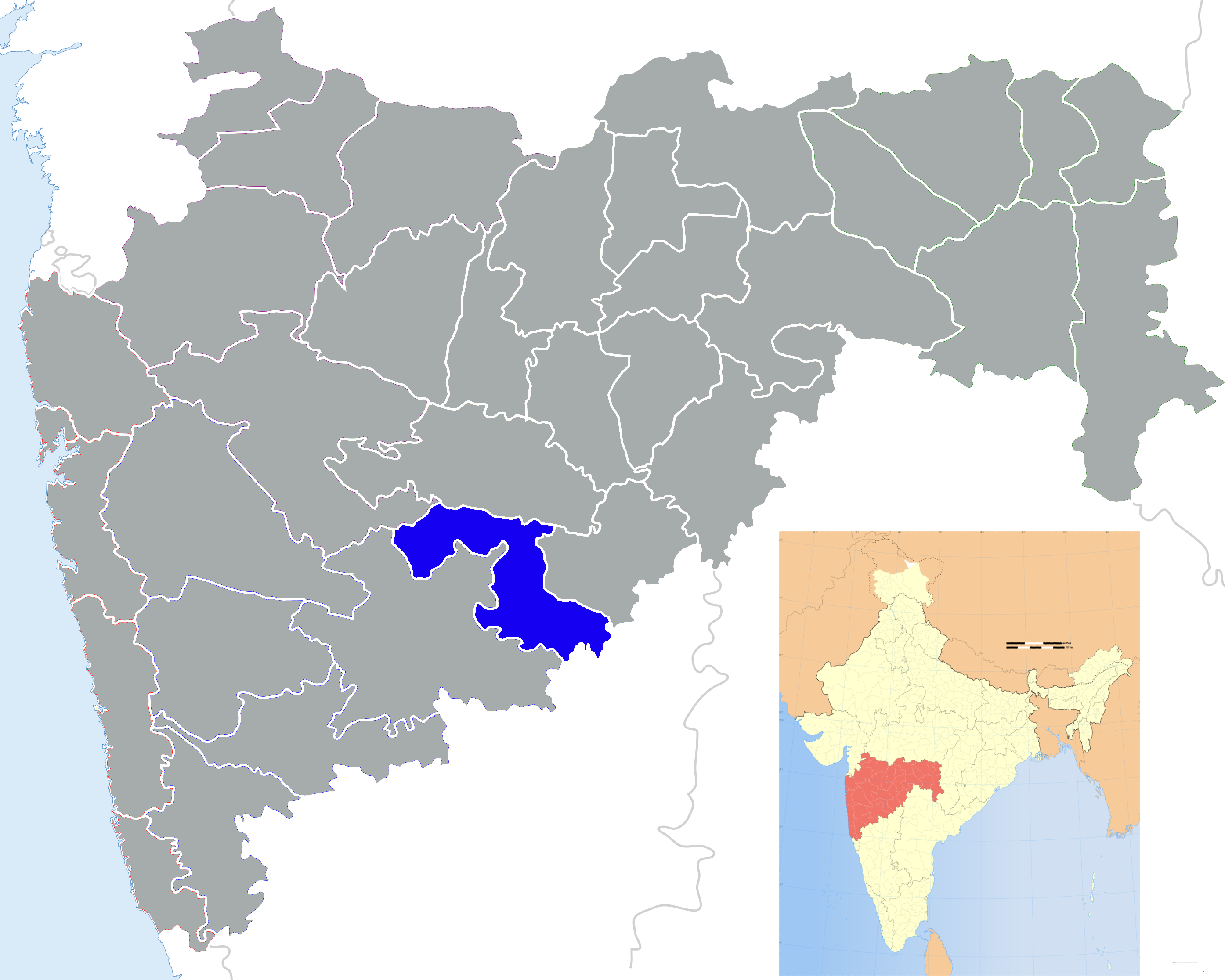
Location of Osmanabad district in MaharashtraState Maharashtra,  India
IndiaAdministrative division Aurangabad Division Headquarters Osmanabad Area 7,512.4 km2 (2,900.6 sq mi) Population 14,86,586 (2001) Population density 197.9 /km2 (513 /sq mi) Literacy 54.27% Sex ratio 932 Tehsils 1. Osmanabad, 2. Tuljapur, 3. Omerga, 4. Lohara, 5. Kallamb, 6. Bhoom, 7. Paranda, 8. Washi Lok Sabha Constituencies Osmanabad (shared with Solapur district and Latur district) (Based on Election Commission website) Major highways NH-9, NH-211 Average annual precipitation 730 mm Official website Osmanabad district (Marathi: उस्मानाबाद जिल्हा) is an administrative district in the state of Maharashtra in India. The district headquarters are located at Osmanabad, erstwhile Dharashiv (धाराशिव). Temple of goddess Tuljabhavani at Tulajapur is famous in India. The district occupies an area of 7512.4 km² of which 241.4 km² is urban area and has a population of 1,486,586 of which 15.69% were urban (as of 2001).[1]
Contents
Location
Osmanabad district lies in the southern part of state. It lies on the Deccan plateau, about 600 m above sea level. Parts of the Manjara and Terna flow through the district. The district is located on east side of Marathwada region within the range latitude 17.35 to 18.40 degrees north, and latitude 75.16 to 76.40 degrees east.
Climate
The rainy season starts from mid-June and continues till the end of September. The climate is humid in October and November and dry and cool from mid-November to January. From February to June the climate is dry and becomes increasingly hot. During summer the temperature of Osmanabad district is low compared to other districts of Marathwada region. The average annual rainfall in the district is 730 mm. Temperature Max.: 42.1 °C; Min.: 8 °C
Tahsils
There are eight talukas (tahsil) in Osmanabad district.
Paranda is historical place known for the Paranda Fort. Kallamb is an important commercial centre of the district and located on the bank of river Manjra. The taluka is blessed by Yedeshwari devi, whose temple is located at Yermala, 20 km from Kallamb.
Tuljapur is a major taluka town, about 30 km from Solapur, 25 km from Osmanabad town and 40 km from Hyderabad national Highway at Naldurga.
Tuljapur is best known for its Tulja Bhavani Mandir. It is said that Tulja Bhavani mata had offered sword to Shivaji Maharaj (not verifiable) and his son re-built the temple. Omerga is a densely populated taluka in Osmanabad. The Tata Institute of Social Sciences, Mumbai also has a School of Rural Development ("the Rural Campus") at Tuljapur.
Neighbouring districts
Solapur lies to the south-west, Ahmednagar to the North-west, Beed to the north, Latur to the east and the districts of Bidar and Gulbarga in Karnataka to the south.
Transport
A small portion of the Barshi light railway connecting Latur-Barshi-Kurduvadi passed through northern fringe of Osmanabad district until 2007. The rail track was coverted to broad gauge and the track alignment was changed southwards to pass near Osmanabad town. The modified track from Latur to Osmanabad opened for traffic in September 2007. The modified rail track from Osmanabad to Kurduvadi junction became operational in October 2008 and connects Osmanabad to Pune and Bombay by a shorter rail route than via Latur. Osmanabad is connected to Beed, Latur, Ahmednagar, Pune and Solapur by national highways.
Demographics
According to the 2011 census Osmanabad district has a population of 1,660,311,[2] roughly equal to the nation of Guinea-Bissau[3] or the US state of Idaho.[4] This gives it a ranking of 298th in India (out of a total of 640).[2] The district has a population density of 219 inhabitants per square kilometre (570 /sq mi) .[2] Its population growth rate over the decade 2001-2011 was 11.69 %.[2] Osmanabad has a sex ratio of 920 females for every 1000 males,[2] and a literacy rate of 76.33 %.[2]
Colleges
- Shri Tuljabhavani College of Engineering, Tuljapur.
- Education in Osmanabad
- College of Engineering, Osmanabad
- Government College of B.A.M.S., Osmanabad
- Government Polytechnic College, Osmanabad
- Ramkrishna Paramhans College, Osmanabad
- K.T. Patil College of Computer Science, osmanabad
- Shri Chhatrapati Shivaji College of Arts, Science, Commerce, Omerga, Dist. Osmanabad
- Shankarrao Patil Junior & Senior College, Bhoom.
References
- ^ [1]
- ^ a b c d e f "District Census 2011". Census2011.co.in. 2011. http://www.census2011.co.in/district.php. Retrieved 2011-09-30.
- ^ US Directorate of Intelligence. "Country Comparison:Population". https://www.cia.gov/library/publications/the-world-factbook/rankorder/2119rank.html. Retrieved 2011-10-01. "Guinea-Bissau 1,596,677 July 2011 est."
- ^ "2010 Resident Population Data". U. S. Census Bureau. http://2010.census.gov/2010census/data/apportionment-pop-text.php. Retrieved 2011-09-30. "Idaho 1,567,582"
External links

Ahmadnagar district Beed district Solapur district 
Latur district  Osmanabad district

Gulbarga district, Karnataka Bidar district, Karnataka  State of MaharashtraCapital: Mumbai
Topics Regions Districts Million-plus cities
in MaharashtraOther cities with
municipal corporationsDivisions and Districts of Maharashtra Amravati Division Konkan Division Aurangabad Division Nagpur Division Nashik Division Pune Division Categories:- Districts of Maharashtra
- Osmanabad district
- Aurangabad division
Wikimedia Foundation. 2010.