- Negaunee, Michigan
-
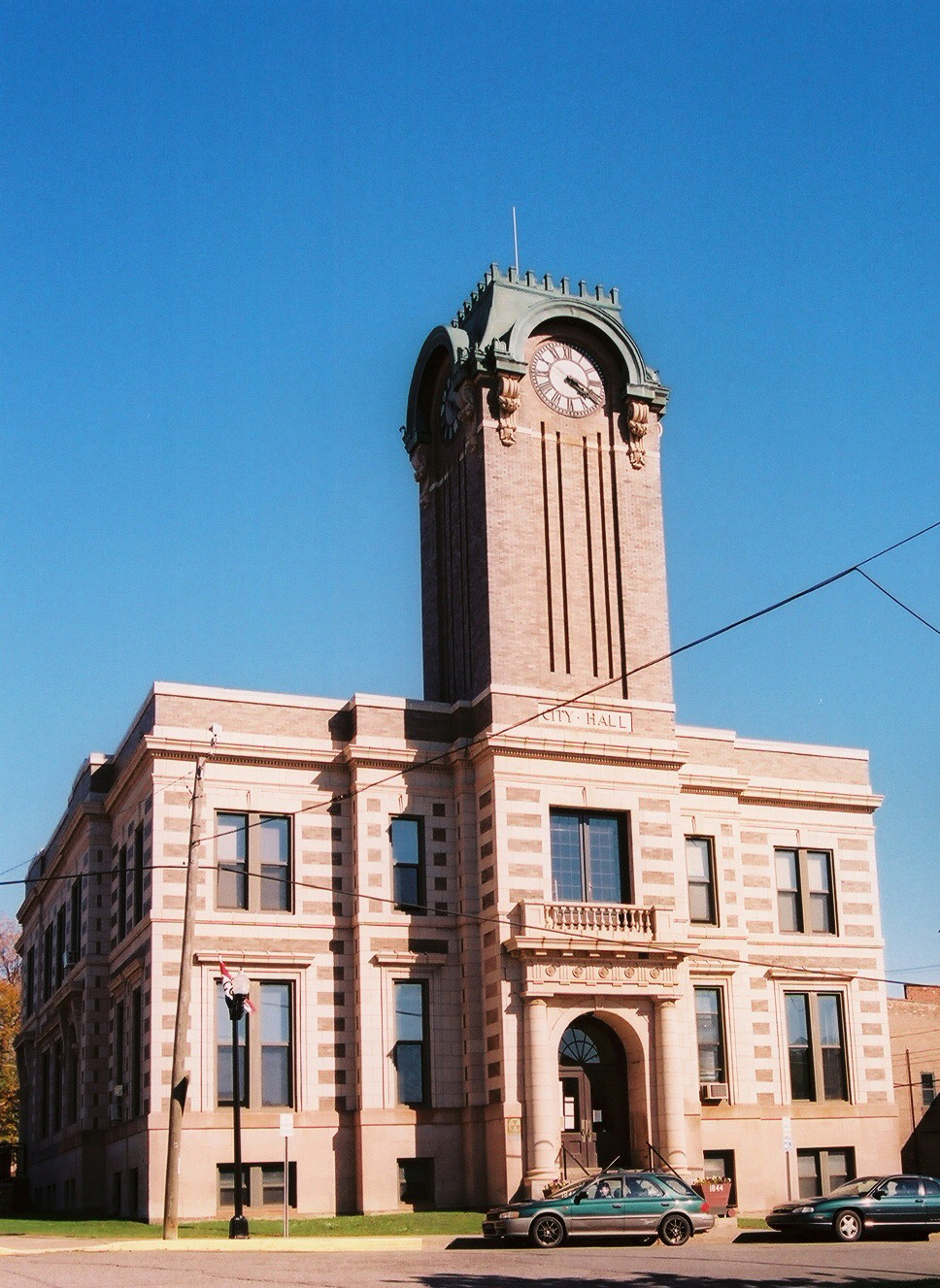
Negaunee, Michigan — City — Negaunee City Hall Location of Negaunee, Michigan
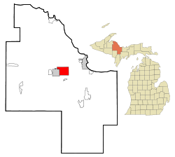
Coordinates: 46°30′6″N 87°36′14″W / 46.50167°N 87.60389°W Country United States State Michigan County Marquette Area - Total 14.7 sq mi (38.0 km2) - Land 13.8 sq mi (35.7 km2) - Water 0.9 sq mi (2.3 km2) Elevation 1,371 ft (418 m) Population (2000) - Total 4,576 - Density 332.1/sq mi (128.2/km2) Time zone Eastern (EST) (UTC-5) - Summer (DST) EDT (UTC-4) ZIP code 49866 Area code(s) 906 FIPS code 26-56860[1] GNIS feature ID 0633261[2] Negaunee is a city in Marquette County in the U.S. state of Michigan. The population was 4,576 at the 2000 census. The city is located at the southwest corner of Negaunee Township. The city is home to the Michigan Iron Industry Museum. The name Negaunee comes from a Native American word nigani (Ojibwa tribe) meaning "foremost, in advance, leading," which was determined to be the closest Obijwa translation for pioneer. The neighboring town of Ishpeming, whose name means "on the summit," often interpret Ishpeming as Heaven and tell the unknowing that Negaunee means Hell. The two cities have high schools with a healthy rivalry. Within the city limits is Teal Lake.
Negaunee is home to Pioneer Days, a festival held every year the week following July 4, Heikki Lunta Winterfest, and the Negaunee Invitational Basketball Tournament which draws well known basketball players both retired, and straight out of College. Tom Izzo, a Native of the UP and coach of the MSU Spartans sends many graduated seniors to play every year.
Contents
History
The city was built after the discovery of the Marquette Iron Range during the early 19th century. The Jackson Mine was established in 1845 to mine the ore for shipment to iron forges; the first such forge to operate in the Lake Superior basin was set up in Negaunee during this period. In 1858, the community was given a post office. In 1865, Negaunee was incorporated as a town and in 1868 the first police force was formed. 1873 marks the year Negaunee was recognized as a city. As mining operations expanded, many immigrants helped settle the area, bringing with them rich traditions that remain today. Due to extensive underground mining roughly half the city was abandoned in the early 20th century due to risk of cave-in. The city closed its trolley system in 1927. The Jackson Mine ceased all operations within the city limits in the 1940s.
Negaunee has worked hard to regain its luster. "Caving grounds" have been reopened to the community and renamed as Old Towne. Residents can now tour Old Towne to visit the sites of historical family homes [markers have been erected] and mining artifacts can be observed. The city's population has been on a slow descent for the past eighty years; however, the Negaunee school system ranks in the top 20% of schools for the State of Michigan.[3] In recent years several new businesses have also found their way to Negaunee, including Sears, Family Video and Subway.
Geography
According to the United States Census Bureau, the city has a total area of 14.7 square miles (38 km2), of which, 13.8 square miles (36 km2) of it is land and 0.9 square miles (2.3 km2) of it (6.07%) is water.
Highways
 US 41 passes through the northern portion of Negaunee, running westerly and northerly toward Houghton, easterly toward Marquette and southeast to Escanaba.
 M-28 travels westerly toward Wakefield and east to Marquette.
 BUS M-28 serves the downtowns of both Negaunee and Ishpeming.
 M-35provides an alternate route to the Escanaba area and access to Sawyer International Airport.
Demographics
As of the census[1] of 2000, there were 4,576 people, 1,946 households, and 1,218 families residing in the city. The population density was 332.1 per square mile (128.2/km²). There were 2,088 housing units at an average density of 151.5 per square mile (58.5/km²). The racial makeup of the city was 96.63% White, 0.28% African American, 1.29% Native American, 0.22% Asian, 0.13% from other races, and 1.44% from two or more races. Hispanic or Latino of any race were 0.44% of the population. 28.8% were of Finnish, 14.5% Italian, 14.0% English, 9.3% German, 8.9% Swedish and 5.8% French ancestry according to Census 2000. 95.7% spoke English, 1.7% Spanish and 1.5% Finnish as their first language.
There were 1,946 households out of which 27.4% had children under the age of 18 living with them, 49.4% were married couples living together, 9.0% had a female householder with no husband present, and 37.4% were non-families. 33.0% of all households were made up of individuals and 16.6% had someone living alone who was 65 years of age or older. The average household size was 2.30 and the average family size was 2.93.
In the city the population was spread out with 22.3% under the age of 18, 9.1% from 18 to 24, 25.9% from 25 to 44, 23.8% from 45 to 64, and 18.8% who were 65 years of age or older. The median age was 40 years. For every 100 females there were 92.0 males. For every 100 females age 18 and over, there were 89.7 males.
The median income for a household in the city was $33,117, and the median income for a family was $39,750. Males had a median income of $36,026 versus $22,380 for females. The per capita income for the city was $16,889. About 6.3% of families and 9.4% of the population were below the poverty line, including 11.7% of those under age 18 and 5.6% of those age 65 or over.
School System
 President Obama teleconferences from Northern Michigan University with Negaunee High School students
Negaunee Public Schools consists of 3 main buildings: Lakeview Elementary which has K-5th grades; Negaunee Middle School, which has 6th through 8th grade; and Negaunee High School, which has 9th through 12th grades. Negaunee athletics have a large, healthy rivalry with the Marquette Redmen and Ishpeming Hematites.
References
- ^ a b "American FactFinder". United States Census Bureau. http://factfinder.census.gov. Retrieved 2008-01-31.
- ^ "US Board on Geographic Names". United States Geological Survey. 2007-10-25. http://geonames.usgs.gov. Retrieved 2008-01-31.
- ^ "Michigan Public School Rankings". psk12.com. http://www.psk12.com/rating/USindexphp/STATE_MI.html. Retrieved 2008-07-17.
External links
- City of Negaunee Site
- Negaunee Schools Site
- Pioneer Days Info
- Heikki Lunta Winterfest
- Negaunee Historical Museum
- Negaunee Invitational Basketball Tournament
- Negaunee High School Alumni
- Peninsula Arts Appreciation Council
- U.P. native goes 'Into The Wild'
- Musician-actor keeps his connection to U.P. strong
- McCandless story has U.P. connection
- Local folks can finally see Negaunee actor in movie
- Public School Rankings
Municipalities and communities of Marquette County, Michigan Cities 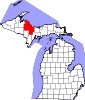
Charter
townshipsGeneral law
townshipsUnincorporated
communitiesArnold | Austin | Big Bay | Gwinn | Harvey | K. I. Sawyer AFB | Little Lake | Michigamme | National Mine | New Swanzy | Palmer | Republic | Trowbridge Park | West Ishpeming
Indian reservation Coordinates: 46°29′57″N 87°36′42″W / 46.49917°N 87.61167°W
Categories:- Cities in Michigan
- Populated places in Marquette County, Michigan
- Populated places established in 1858


Wikimedia Foundation. 2010.