- Cheneyville, Illinois
-
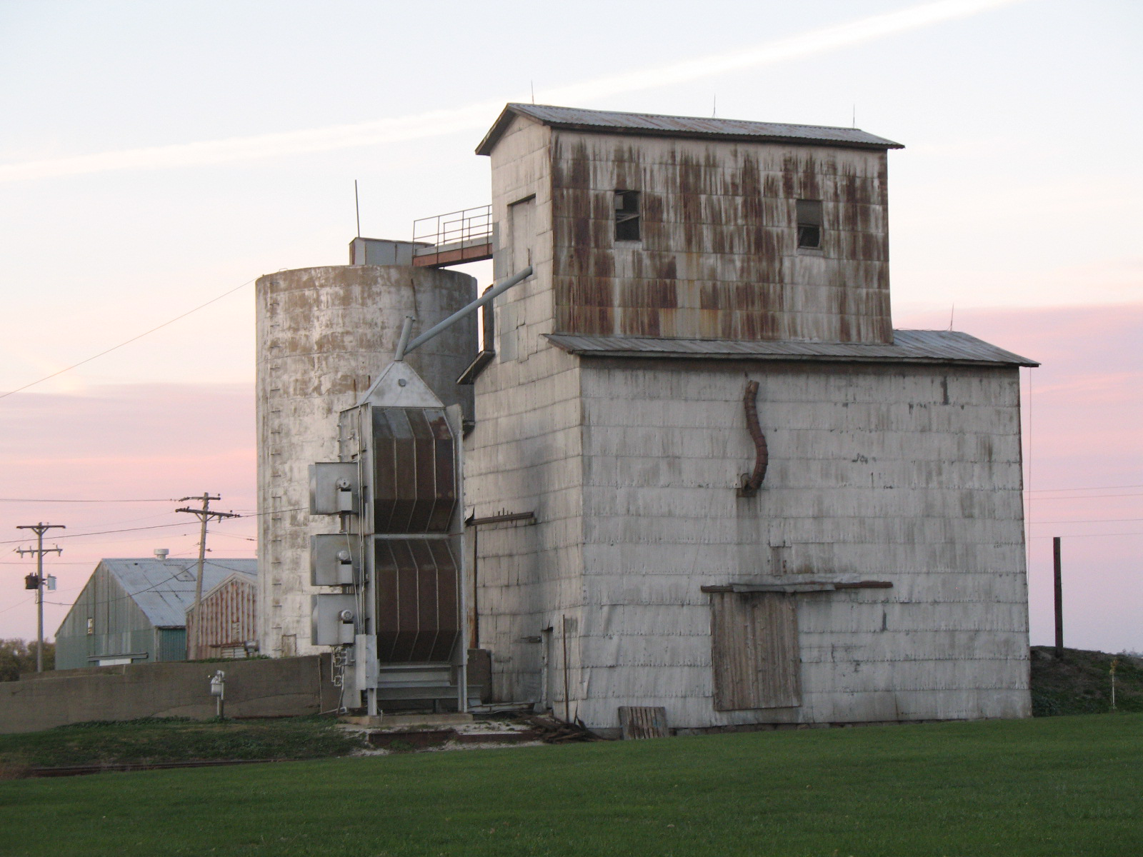
Cheneyville — Unincorporated town — Grain elevator in Cheneyville Vermilion County's location in Illinois
 Cheneyville's location in Vermilion County
 Cheneyville
Coordinates: 40°28′09″N 87°35′05″W / 40.46917°N 87.58472°WCoordinates: 40°28′09″N 87°35′05″W / 40.46917°N 87.58472°W Country  United States
State  Illinois
County Vermilion County Township Grant Township Established 1871 Elevation 725 ft (221 m) ZIP code 60942 Area code(s) 217 GNIS feature ID 0406006[1] Cheneyville is an unincorporated community in Grant Township, Vermilion County, Illinois.
Contents
History
Cheneyville was founded in 1871 and platted in 1880. It was named for J. H. Cheney, the vice-president of the Lake Erie and Western Railroad. A telephone system was installed in 1888 and soon had to be expanded due to rising demand.[2]
Geography
Cheneyville is located at 40°28′9″N 87°35′5″W / 40.46917°N 87.58472°W (40.4692031, -87.5847437), about four miles east of the village of Hoopeston and less than two miles south of the northern border of the county.
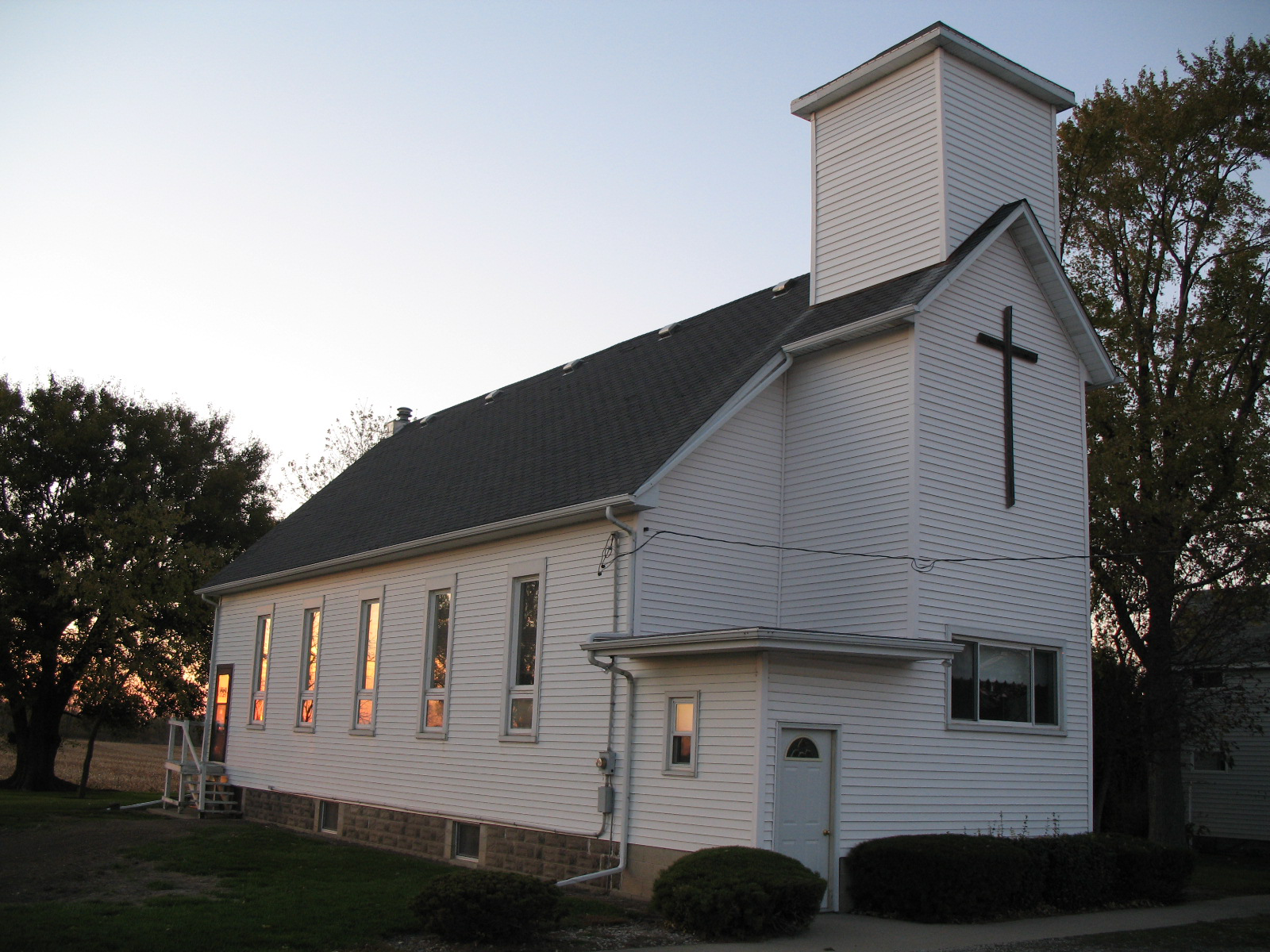
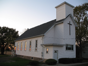 Cheneyville church
References
- ^ "Cheneyville". Geographic Names Information System, U.S. Geological Survey. http://geonames.usgs.gov/pls/gnispublic/f?p=gnispq:3:::NO::P3_FID:0406006. Retrieved 2010-10-17.
- ^ Stapp, Katherine; W. I. Bowman (1968). History Under Our Feet: The Story of Vermilion County, Illinois. Danville, Illinois: Interstate Printers and Publishers, Inc.. pp. p. 45.
External links
Municipalities and communities of Vermilion County, Illinois County seat: Danville Cities 
Villages Townships Unincorporated
communitiesFootnotes ‡This populated place also has portions in an adjacent county or counties
Categories:- Populated places in Vermilion County, Illinois
- Unincorporated communities in Illinois
- Central Illinois geography stubs


Wikimedia Foundation. 2010.