- Westville, Illinois
Infobox Settlement
official_name = Westville
other_name =
nickname =
settlement_type = Village
motto =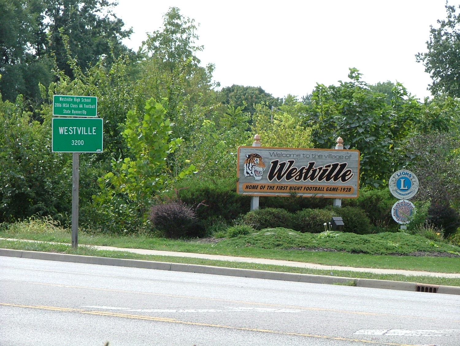
imagesize =
image_caption = Signs at the north edge of Westville
flag_size =
image_
seal_size =
image_shield =
shield_size =
image_blank_emblem =
blank_emblem_type =
blank_emblem_size =
mapsize =
map_caption =
mapsize1 =
map_caption1 =
image_dot_
dot_mapsize =
dot_map_caption =
dot_x = |dot_y =
pushpin_
pushpin_label_position = left
pushpin_map_caption =
pushpin_mapsize =
subdivision_type = Country
subdivision_name =United States
subdivision_type1 = State
subdivision_name1 =Illinois
subdivision_type2 = County
subdivision_name2 = Vermilion
subdivision_type3 = Township
subdivision_name3 = Georgetown
government_footnotes =
government_type =
leader_title = Mayor
leader_name = Jeff Slavik
leader_title1 =
leader_name1 =
leader_title2 =
leader_name2 =
leader_title3 =
leader_name3 =
leader_title4 =
leader_name4 =
established_title = Organized
established_date = 1896
established_title2 =
established_date2 =
established_title3 =
established_date3 =
area_magnitude =
unit_pref =
area_footnotes =
unit_pref = Imperial
area_total_km2 = 4.1
area_land_km2 = 4.1
area_water_km2 =
area_total_sq_mi = 1.6
area_land_sq_mi = 1.6
area_water_sq_mi =
area_water_percent =
area_urban_km2 =
area_urban_sq_mi =
area_metro_km2 =
area_metro_sq_mi =
area_blank1_title =
area_blank1_km2 =
area_blank1_sq_mi =
population_as_of = 2000
population_footnotes =
population_note =
population_total = 3175
population_density_km2 =
population_density_sq_mi =
population_metro =
population_density_metro_km2 =
population_density_metro_sq_mi =
population_urban =
population_density_urban_km2 =
population_density_urban_sq_mi =
population_blank1_title =
population_blank1 =
population_density_blank1_km2 =
population_density_blank1_sq_mi =
timezone = CST
utc_offset = -6
timezone_DST = CDT
utc_offset_DST = -5
latd = 40 |latm = 2 |lats = 36 |latNS = N
longd = 87 |longm = 38 |longs = 17 |longEW = W
elevation_footnotes = cite web|url=Gnis3|420973|title=USGS detail on Westville|accessdate=2007-09-22]
elevation_m = 204
elevation_ft = 669
postal_code_type = ZIP code
postal_code = 61883
area_code = 217
blank_name =
blank_info =
blank1_name =
blank1_info =
website =
footnotes =Westville is a village in Georgetown Township, Vermilion County,
Illinois ,United States . It is part of the 'Danville, Illinois Metropolitan Statistical Area '. The population was 3,175 at the 2000 census.Geography
Westville is located on
Illinois Route 1 /U.S. Route 150 about 7 miles south ofInterstate 74 and the county seat of Danville.Westville's coordinates are coor dms|40|2|36|N|87|38|17|W|city (40.043286, -87.637995)GR|1.
According to the
United States Census Bureau , the village has a total area of 1.6square mile s (4.1km² ), all of it land.History
The town was laid out in May 1873 by William P. and E. A. West, although it started out as a station on the Danville and Southwestern Railroad, and there had been settlements in this area prior to the platting. The first known settler was Moses Scott who purchased land and built a structure in 1827. Telephone lines were first installed in 1900, and electricity arrived in 1901.
Mining was an important industry here; there were several coal mines in the area, including the Kelly mines numbers 1 through 4, and mines operated by the Bunsen, Peabody, and Dering coal companies.
On September 21, 1928, Westville High School held the first high school night football game in the United States.cite book
last = Stapp
first = Katherine
coauthors = W. I. Bowman
title = History Under Our Feet: The Story of Vermilion County, Illinois
publisher = Interstate Printers and Publishers, Inc.
year = 1968
location = Danville, Illinois
pages = pp. 24-26]Demographics
As of the
census GR|2 of 2000, there were 3,175 people, 1,420 households, and 903 families residing in the village. Thepopulation density was 1,990.6 people per square mile (766.2/km²). There were 1,537 housing units at an average density of 963.6/sq mi (370.9/km²). The racial makeup of the village was 97.86% White, 0.41% African American, 0.19% Native American, 0.03% Asian, 0.03% Pacific Islander, 0.38% from other races, and 1.10% from two or more races. Hispanic or Latino of any race were 0.76% of the population.There were 1,420 households out of which 27.3% had children under the age of 18 living with them, 49.0% were married couples living together, 11.2% had a female householder with no husband present, and 36.4% were non-families. 33.0% of all households were made up of individuals and 17.0% had someone living alone who was 65 years of age or older. The average household size was 2.24 and the average family size was 2.81.
In the village the population was spread out with 22.5% under the age of 18, 7.0% from 18 to 24, 27.0% from 25 to 44, 24.4% from 45 to 64, and 19.1% who were 65 years of age or older. The median age was 41 years. For every 100 females there were 89.7 males. For every 100 females age 18 and over, there were 86.8 males.
The median income for a household in the village was $34,654, and the median income for a family was $47,083. Males had a median income of $31,694 versus $21,433 for females. The
per capita income for the village was $17,538. About 4.7% of families and 7.4% of the population were below thepoverty line , including 7.2% of those under age 18 and 5.9% of those age 65 or over.References
External links
* [http://www.villageofwestville.com/ Village of Westville]

Wikimedia Foundation. 2010.