- Hoopeston, Illinois
Geobox|Settlement
name = Hoopeston
native_name =
other_name =
category = Village
etymology =
official_name =
motto =
nickname = Sweetcorn Capital of the World
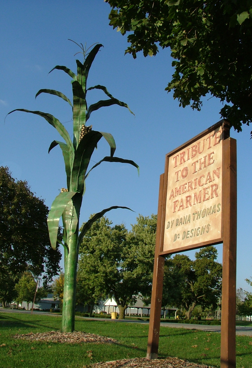
image_caption = Tribute to the American farmer in McFerren Park
symbol =
country = United States
state = Illinois
region_type = County
region = Vermilion County
district_type = Township
district = Grant Township
municipality =
part =
landmark =
river =
location =
elevation_imperial = 725
elevation_imperial_note = cite web|url=Gnis3|410494|title=USGS detail on Hoopeston|accessdate=2007-09-16]
prominence_imperial =
lat_d = 40
lat_m = 28
lat_s = 01
lat_NS = N
long_d = 87
long_m = 40
long_s = 16
long_EW = W
highest =
highest_location =
highest_region =
highest_state =
highest_elevation_imperial =
highest_lat_d =
highest_lat_m =
highest_lat_s =
highest_lat_NS =
highest_long_d =
highest_long_m =
highest_long_s =
highest_long_EW =
lowest =
lowest_location =
lowest_region =
lowest_state =
lowest_elevation_imperial =
lowest_lat_d =
lowest_lat_m =
lowest_lat_s =
lowest_lat_NS =
lowest_long_d =
lowest_long_m =
lowest_long_s =
lowest_long_EW =
length_imperial =
length_orientation =
area_imperial = 3.1
area_land_imperial =
area_water_imperial =
area_urban_imperial =
area_metro_imperial =
population = 5965
population_date = 2000
population_urban =
population_metro =
population_density_imperial = 1913.8
population_density_urban_imperial =
population_density_metro_imperial =
established_type = Founded
established = 1871
established1_type = Organized
established1 = 1874
established2_type = Incorporated
established2 = 1877
date =
government =
government_location =
government_region =
government_state =
government_elevation_imperial =
government_lat_d =
government_lat_m =
government_lat_s =
government_lat_NS =
government_long_d =
government_long_m =
government_long_s =
government_long_EW =
mayor = Bill DeWitt
leader =
timezone = CST
utc_offset = -6
timezone_DST = CDT
utc_offset_DST = -5
postal_code = 60942
area_code = 217
code =
whs_name =
whs_year =
whs_number =
whs_region =
whs_criteria =
iucn_category =
free =
free_type =

map_caption = Location of Hoopeston within Illinois
map_background =
map_locator = Illinois
map1 = Map of USA IL.svg
map1_caption = Location of Illinois within the United States
commons =
statistics =
website = http://www.hoopeston-il.gov/
footnotes =Hoopeston is a city in Grant Township, Vermilion County,
Illinois ,United States . It is part of the 'Danville, Illinois Metropolitan Statistical Area '. The population was 5,965 at the 2000 census.The town and its former Witch School were featured in the 2008 documentary film "Hoopeston," [ [http://www.synydyne.com/hoopeston/ "Hoopeston" at Synydyne] ] which premiered at the 15th New York Underground Film Festival.
Geography
Hoopeston is located at the intersection of
Illinois Route 1 andIllinois Route 9 about a mile from the north edge of Vermilion County.Hoopeston's coordinates are coor dms|40|28|1|N|87|40|16|W|city (40.467012, -87.670988)GR|1.
According to the
United States Census Bureau , the city has a total area of 3.1 square miles (8.1 km²), all of it land.History
Hoopeston was laid out in 1871. It was named for Thomas Hoopes, one of the men who offered land for the crossing of two railroads: the Lafayette, Bloomington and Western Railroad and the
Chicago, Danville and Vincennes Railroad .cite book
last = Jones
first = Lottie E.
title = History of Vermilion County, Illinois (volume 1)
publisher = Pioneer Publishing Company
year = 1911
location = Chicago, Illinois
pages = p. 224] cite book
last = Stapp
first = Katherine
coauthors = W. I. Bowman
title = History Under Our Feet: The Story of Vermilion County, Illinois
publisher = Interstate Printers and Publishers, Inc.
year = 1968
location = Danville, Illinois
pages = pp. 42-44] The two railroads separated the town into four sections. The latter railroad still exists and is now operated jointly byCSX Transportation andUnion Pacific Railroad . [cite web
title = Illinois Railroad Map
publisher = Illinois Department of Transportation
date = January, 2006
url = http://www.dot.il.gov/officialrailmap.pdf
accessdate = 2007-09-23
format=PDF]In 1890,
Greer College was established in Hoopeston, funded by a gift of $40,000 and convert|500|acre|km2 of land from John Greer.Business and manufacturing in Hoopeston have historically been related to agriculture. In 1875, S. S. McCall established the Illinois Canning Company to can locally-grown vegetables; and this was so successful that in 1878 the Hoopeston Canning Company was established, which later became part of Stokely-Van Camp, Inc. In addition, Silgan Can (formerly American Can) had a factory which manufactured the
tin can s themselves, and an FMC plant manufactured agricultural machinery.In honor of its agricultural roots, Hoopeston holds a Sweet Corn Festival each September, starting the Thursday before
Labor Day and ending on Labor Day.Schools
* Hoopeston Area High School
* Hoopeston Area Middle School
* John Greer Grade School (originally known as John Greer College) serves 5th and 6th Graders.
* Honeywell School serves 3rd and 4th Grade Students.
* Maple Grade School serves K-2nd Grade Students.The school district has faced increasingly declining enrollment over the past 10 years. The district has also struggled financially in recent years. The school teams are named the "
Cornjerker s", a term describing farm workers who picked corn prior to the use of mechanized corn picker implements.Hoopeston Area High School is the alma mater of current
Ohio State University head men's basketball coach Thad Matta.Demographics
As of the
census GR|2 of 2000, there were 5,965 people, 2,297 households, and 1,499 families residing in the city. Thepopulation density was 1,913.8 people per square mile (738.2/km²). There were 2,520 housing units at an average density of 808.5/sq mi (311.9/km²). The racial makeup of the city was 91.79% White, 0.82% African American, 0.28% Native American, 0.13% Asian, 5.60% from other races, and 1.37% from two or more races. Hispanic or Latino of any race were 8.38% of the population.There were 2,297 households out of which 30.7% had children under the age of 18 living with them, 50.5% were married couples living together, 11.4% had a female householder with no husband present, and 34.7% were non-families. 31.2% of all households were made up of individuals and 16.6% had someone living alone who was 65 years of age or older. The average household size was 2.44 and the average family size was 3.04.
In the city the population was spread out with 24.8% under the age of 18, 8.3% from 18 to 24, 24.1% from 25 to 44, 22.4% from 45 to 64, and 20.4% who were 65 years of age or older. The median age was 40 years. For every 100 females there were 99.2 males. For every 100 females age 18 and over, there were 97.6 males.
The median income for a household in the city was $31,947, and the median income for a family was $39,368. Males had a median income of $31,656 versus $20,474 for females. The
per capita income for the city was $15,055. About 12.3% of families and 13.8% of the population were below thepoverty line , including 16.6% of those under age 18 and 11.7% of those age 65 or over.References
External links
* [http://www.hoopeston-il.gov/ Official Hoopeston City government website]
* [http://www.hoopeston.org/ hoopeston.org, Links to other Hoopeston related web sites and businesses]
* [http://www.hoopeston.k12.il.us/ Hoopeston School District website]
* [http://vermilionforum.10.forumer.com/ Hoopeston and Vermilion County Online Forum]
* [http://factfinder.census.gov/servlet/SAFFFacts?_event=Search&geo_id=&_geoContext=&_street=&_county=hoopeston&_cityTown=hoopeston&_state=04000US17&_zip=&_lang=en&_sse=on&pctxt=fph&pgsl=010&show_2003_tab=&redirect=Y Census 2000 information on Hoopeston]
* [http://nfcchoopeston.com/ North Fork Conservation Club]
Wikimedia Foundation. 2010.