- Henning, Illinois
Geobox|Settlement
name = Henning
native_name =
other_name =
category = Village
etymology =
official_name =
motto =
nickname =
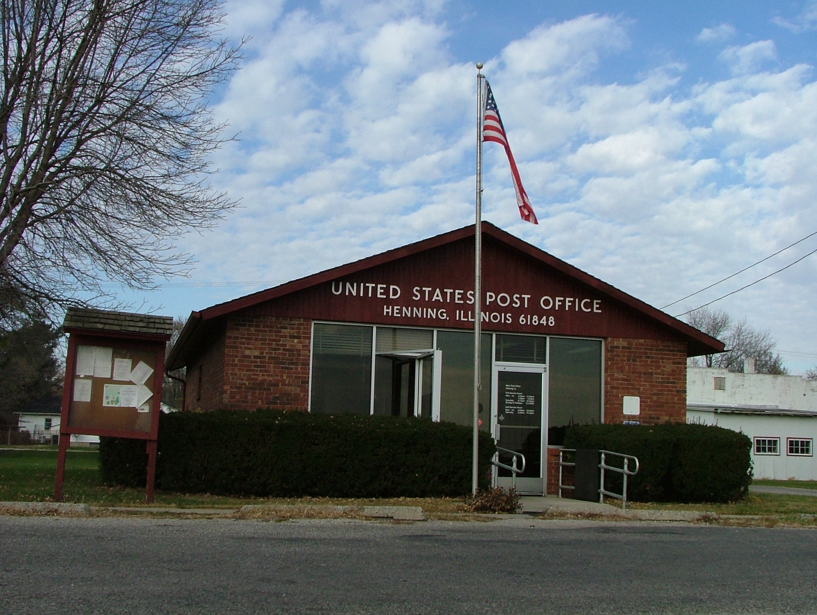
image_caption = The Henning post office
symbol =
country = United States
state = Illinois
region_type = County
region = Vermilion
district_type = Township
district = South Ross
municipality =
part =
landmark =
river =
location =
elevation_imperial = 686
elevation_imperial_note = cite web|url=Gnis3|410062|title=USGS detail on Henning|accessdate=2007-10-10]
prominence_imperial =
lat_d = 40
lat_m = 18
lat_s = 20
lat_NS = N
long_d = 87
long_m = 41
long_s = 01
long_EW = W
highest =
highest_location =
highest_region =
highest_state =
highest_elevation_imperial =
highest_lat_d =
highest_lat_m =
highest_lat_s =
highest_lat_NS =
highest_long_d =
highest_long_m =
highest_long_s =
highest_long_EW =
lowest =
lowest_location =
lowest_region =
lowest_state =
lowest_elevation_imperial =
lowest_lat_d =
lowest_lat_m =
lowest_lat_s =
lowest_lat_NS =
lowest_long_d =
lowest_long_m =
lowest_long_s =
lowest_long_EW =
length_imperial =
length_orientation =
area_imperial = 1.5
area_land_imperial =
area_water_imperial =
area_urban_imperial =
area_metro_imperial =
population = 241
population_date = 2000
population_urban =
population_metro =
population_density_imperial = 69.6
population_density_urban_imperial =
population_density_metro_imperial =
established_type = Incorporated
established = 1903
established1_type =
established1 =
established2_type =
established2 =
date =
government =
government_location =
government_region =
government_state =
government_elevation_imperial =
government_lat_d =
government_lat_m =
government_lat_s =
government_lat_NS =
government_long_d =
government_long_m =
government_long_s =
government_long_EW =
mayor =
leader =
timezone = CST
utc_offset = -6
timezone_DST = CDT
utc_offset_DST = -5
postal_code = 61848
area_code = 217
code =
whs_name =
whs_year =
whs_number =
whs_region =
whs_criteria =
iucn_category =
free =
free_type =

map_caption = Location of Henning within Illinois
map_background =
map_locator = Illinois
map1 = Map of USA IL.svg
map1_caption = Location of Illinois within the United States
commons =
statistics =
website =
footnotes =Henning is a village in South Ross Township, Vermilion County,
Illinois ,United States . It is part of the 'Danville, Illinois Metropolitan Statistical Area '. The population was 241 at the 2000 census.History
When the Havana, Rantoul and Eastern Railroad (which became the
Illinois Central Railroad ) came through the area in 1879, John Putnam purchased 10 acres of land from the railroad and a town was later established there. The town's name was the maiden name of one of the residents. The train station there also functioned as a post office and general store. A grain elevator was constructed in 1891, but burned in 1894 and was not rebuilt. The town was incorporated in 1903; at that time, the first mayor, Charles Mason, decided to improve the streets which had been "paved" with corn cobs.cite book
last = Stapp
first = Katherine
coauthors = W. I. Bowman
title = History Under Our Feet: The Story of Vermilion County, Illinois
publisher = Interstate Printers and Publishers, Inc.
year = 1968
location = Danville, Illinois
pages = p. 49]Geography
Henning is located at coor dms|40|18|20|N|87|42|1|W|city (40.305550, -87.700391)GR|1.
According to the
United States Census Bureau , the village has a total area of 1.5square mile s (3.9km² ), all of it land.Demographics
As of the
census GR|2 of 2000, there were 241 people, 95 households, and 62 families residing in the village. Thepopulation density was 158.1 people per square mile (61.2/km²). There were 106 housing units at an average density of 69.6/sq mi (26.9/km²). The racial makeup of the village was 100.00% White.There were 95 households out of which 30.5% had children under the age of 18 living with them, 53.7% were married couples living together, 9.5% had a female householder with no husband present, and 33.7% were non-families. 22.1% of all households were made up of individuals and 11.6% had someone living alone who was 65 years of age or older. The average household size was 2.54 and the average family size was 3.08.
In the village the population was spread out with 28.2% under the age of 18, 7.9% from 18 to 24, 30.7% from 25 to 44, 24.9% from 45 to 64, and 8.3% who were 65 years of age or older. The median age was 33 years. For every 100 females there were 99.2 males. For every 100 females age 18 and over, there were 96.6 males.
The median income for a household in the village was $40,250, and the median income for a family was $45,972. Males had a median income of $34,583 versus $17,167 for females. The
per capita income for the village was $18,974. About 2.8% of families and 4.5% of the population were below thepoverty line , including 3.8% of those under the age of eighteen and 7.1% of those sixty five or over.References
Wikimedia Foundation. 2010.