- Rossville, Illinois
Geobox|Settlement
name = Rossville
native_name =
other_name =
category = Village
etymology =
official_name =
motto =
nickname =
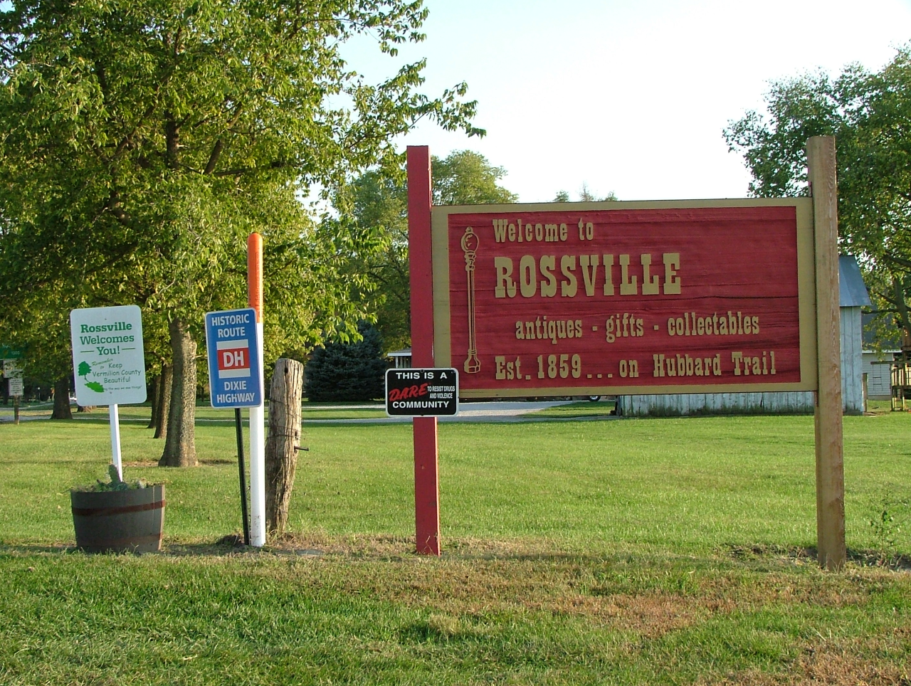
image_caption = Welcome sign at the north edge of town
symbol =
country = United States
state = Illinois
region_type = County
region = Vermilion
district_type = Township
district = Ross
municipality =
part =
landmark =
river = North Fork of the Vermilion
location =
elevation_imperial = 689
elevation_imperial_note = cite web|url=Gnis3|424549|title=USGS detail on Rossville|accessdate=2007-09-22]
prominence_imperial =
lat_d = 40
lat_m = 22
lat_s = 50
lat_NS = N
long_d = 87
long_m = 40
long_s = 07
long_EW = W
highest =
highest_location =
highest_region =
highest_state =
highest_elevation_imperial =
highest_lat_d =
highest_lat_m =
highest_lat_s =
highest_lat_NS =
highest_long_d =
highest_long_m =
highest_long_s =
highest_long_EW =
lowest =
lowest_location =
lowest_region =
lowest_state =
lowest_elevation_imperial =
lowest_lat_d =
lowest_lat_m =
lowest_lat_s =
lowest_lat_NS =
lowest_long_d =
lowest_long_m =
lowest_long_s =
lowest_long_EW =
length_imperial =
length_orientation =
area_imperial = 1.3
area_land_imperial =
area_water_imperial =
area_urban_imperial =
area_metro_imperial =
population = 1217
population_date = 2000
population_urban =
population_metro =
population_density_imperial = 905.1
population_density_urban_imperial =
population_density_metro_imperial =
established_type = Post Office established
established = 1839
established1_type = Founded
established1 = 1862
established2_type =
established2 =
date =
government =
government_location =
government_region =
government_state =
government_elevation_imperial =
government_lat_d =
government_lat_m =
government_lat_s =
government_lat_NS =
government_long_d =
government_long_m =
government_long_s =
government_long_EW =
mayor =
leader =
timezone = CST
utc_offset = -6
timezone_DST = CDT
utc_offset_DST = -5
postal_code = 60963
area_code = 217
code =
whs_name =
whs_year =
whs_number =
whs_region =
whs_criteria =
iucn_category =
free =
free_type =

map_caption = Location of Rossville within Illinois
map_background =
map_locator = Illinois
map1 = Map of USA IL.svg
map1_caption = Location of Illinois within the United States
commons =
statistics =
website =
footnotes =Rossville is a village in Ross Township, Vermilion County,
Illinois ,United States . It is part of the 'Danville, Illinois Metropolitan Statistical Area '. The population was 1,217 at the 2000 census.Geography
Rossville is located at the intersection of
Illinois Route 1 and County Road 14, about 7 miles south of Hoopeston and about 15 miles north of the county seat of Danville. A railroad operated byCSX Transportation passes through the east side of town. [cite web
title = Illinois Railroad Map
publisher = Illinois Department of Transportation
date = January, 2006
url = http://www.dot.il.gov/officialrailmap.pdf
accessdate = 2007-09-23
format=PDF]Rossville's coordinates are coor dms|40|22|50|N|87|40|7|W|city (40.380424, -87.668557)GR|1.
According to the
United States Census Bureau , the village has a total area of 1.3square mile s (3.5km² ), all of it land.History
Rossville and Ross Township were named for Jacob Ross, a settler in the area. However, the location was first named Liggett's Grove in honor of John Liggett who built a lodging house there in 1829. Liggett's cabin was located on the Hubbard Trail, an early trading route established by Gurdon Hubbard from Chicago to Danville. In 1833, this became the first state highway (now Illinois Route 1) and in 1914 was made part of the Dixie Highway. In 1838, Alvan Gilbert purchased the Liggett farm, and the next year became postmaster at the newly-established post office. Rossville was incorporated as a village in August 1859. cite book
last = Jones
first = Lottie E.
title = History of Vermilion County, Illinois (volume 1)
publisher = Pioneer Publishing Company
year = 1911
location = Chicago, Illinois
pages = pp. 223-224] cite book
last = Stapp
first = Katherine
coauthors = W. I. Bowman
title = History Under Our Feet: The Story of Vermilion County, Illinois
publisher = Interstate Printers and Publishers, Inc.
year = 1968
location = Danville, Illinois
pages = p. 46]In February 2004, a fire broke out in the downtown business district and destroyed several of the historic buildings and antique shops for which Rossville has been known. [cite web |url=http://www.freelists.org/archives/cifnmedia/02-2004/msg00069.html |title=FreeLists: Rossville in Flames |accessdate=2007-10-08 |format= |work= ]
Area attractions include the Rossville Historical Society Museum, the Rossville Railroad Depot Museum, Christman Park, and the Hubbard Trail Monument. South of Rossville are Historic Mann's Chapel (1857) and an original State Road Mile Marker from 1833.
Demographics
As of the
census GR|2 of 2000, there were 1,217 people, 533 households, and 341 families residing in the village. Thepopulation density was 905.1 people per square mile (350.7/km²). There were 596 housing units at an average density of 443.2/sq mi (171.7/km²). The racial makeup of the village was 97.78% White, 0.25% African American, 0.16% Native American, 0.08% Asian, 0.90% from other races, and 0.82% from two or more races. Hispanic or Latino of any race were 2.14% of the population.There were 533 households out of which 27.6% had children under the age of 18 living with them, 50.8% were married couples living together, 10.1% had a female householder with no husband present, and 36.0% were non-families. 32.3% of all households were made up of individuals and 18.0% had someone living alone who was 65 years of age or older. The average household size was 2.28 and the average family size was 2.89.
In the village the population was spread out with 23.3% under the age of 18, 8.6% from 18 to 24, 25.2% from 25 to 44, 24.3% from 45 to 64, and 18.6% who were 65 years of age or older. The median age was 41 years. For every 100 females there were 89.9 males. For every 100 females age 18 and over, there were 86.1 males.
The median income for a household in the village was $36,442, and the median income for a family was $43,882. Males had a median income of $32,083 versus $19,813 for females. The
per capita income for the village was $16,794. About 7.8% of families and 9.8% of the population were below thepoverty line , including 13.0% of those under age 18 and 8.8% of those age 65 or over.The Rossville Community Organization is active in hosting community events. These include Drivin' The Dixie Days in June and Christmas in the Village on the first weekend in December.
References
External links
Wikimedia Foundation. 2010.