- Vărgata
-
Vărgata
Csíkfalva— Commune — 
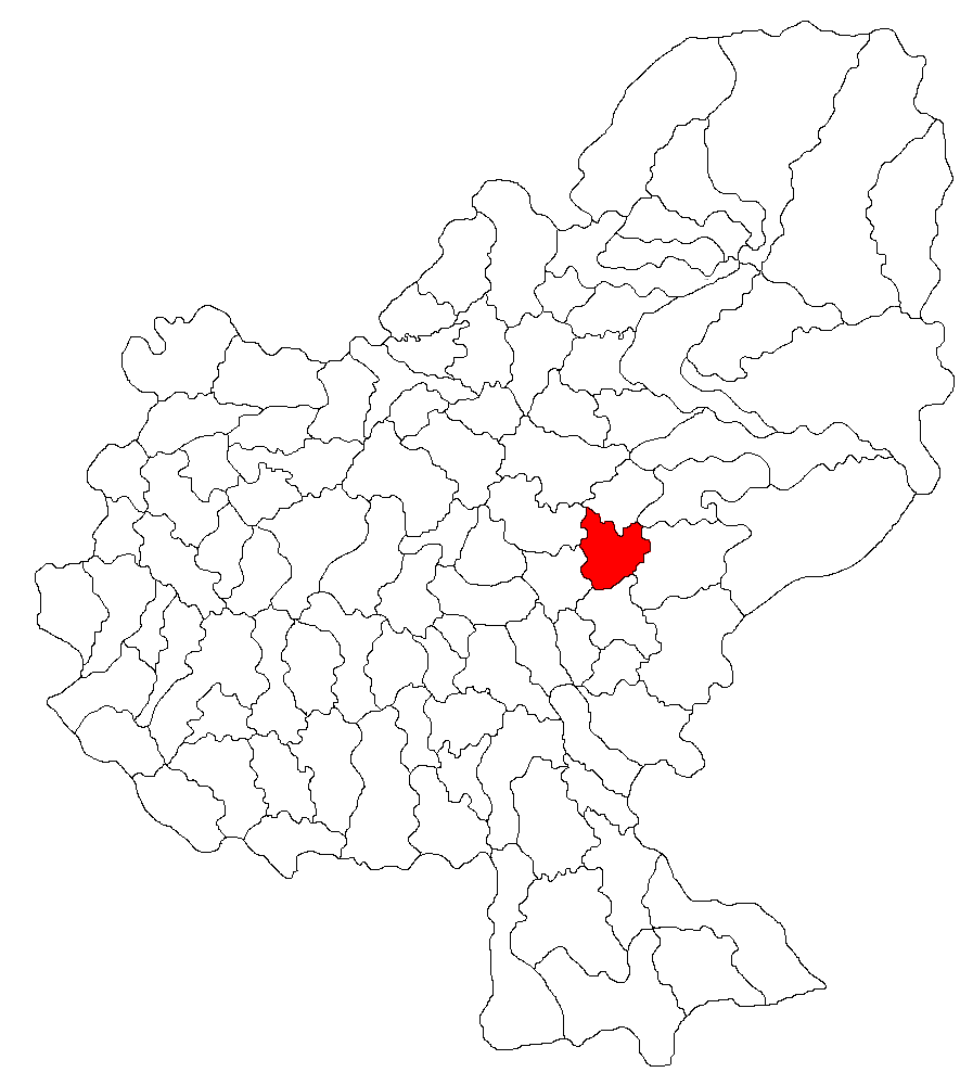
Coat of armsLocation of Vărgata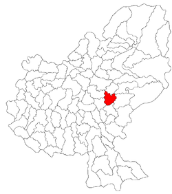 Location of Vărgata
 Vărgata
CsíkfalvaCoordinates: 46°34′0″N 24°48′0″E / 46.566667°N 24.8°ECoordinates: 46°34′0″N 24°48′0″E / 46.566667°N 24.8°E Country  Romania
County Mureş County Status Commune Government – Mayor István Balogh (Democratic Union of Hungarians in Romania) Population (2002) – Total 2,004 Ethnicity – Hungarians 88.72% – Romanians 10.92% – Gypsies 0.44% Time zone EET (UTC+2) – Summer (DST) EEST (UTC+3) Vărgata (Hungarian: Csíkfalva, Hungarian pronunciation: [’tʃikfɒlvɒ]) is a commune in Mureş County, Romania composed of five villages:
- Grâuşorul / Búzaháza
- Mitreşti / Nyárádszentmárton
- Vadu / Vadad
- Valea / Jobbágyfalva
- Vărgata
Contents
History
It formed part of the Székely Land region of the historical Transylvania province. Until 1918, the village belonged to the Maros-Torda County of the Kingdom of Hungary. After the Treaty of Trianon of 1920, it became part of Romania.
It was first mentioned in 1412 as Chykfalua (Csíkfalva).[1]
Demographics
The commune has an absolute Székely Hungarian majority. According to the 2002 Census it has a population of 2,004 of which 88.72% or 1,778 are Hungarian.[2]
See also
- List of Hungarian exonyms (Mureş County)
References
- ^ Váradi, Péter Pál; Lőwey, Lilla (2008). Felső-Nyárád vidéke (Upper Niraj's region). Budapest: Erdély Fotóalbumok 2008. p. 102. ISBN 9638641398, 9789638641397. http://books.google.hu/books?id=A8Ip83vpMX0C&pg=PA102&lpg=PA102&dq=cs%C3%ADkfalva&source=bl&ots=etYZQeAU90&sig=XRX75bdcGQoLntzdsnS34chhcLw&hl=hu&ei=E9_NS-ikDaOHONTe5McP&sa=X&oi=book_result&ct=result&resnum=14&ved=0CCkQ6AEwDQ#v=onepage&q=cs%C3%ADkfalva&f=false.
- ^ Romanian census 2002
Categories:- Communes in Mureș County

Wikimedia Foundation. 2010.