- Görmeli
-
Görmeli  Location of Görmeli within Turkey.
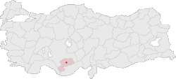
Coordinates: 36°33′N 32°57′E / 36.55°N 32.95°ECoordinates: 36°33′N 32°57′E / 36.55°N 32.95°E Country  Turkey
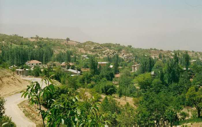
Region Mediterranean Province Karaman Area – Total 20 km2 (7.7 sq mi) Elevation 700 m (2,297 ft) Population (2006) – Total 1,032 Time zone EET (UTC+2) – Summer (DST) EEST (UTC+3) Postal code 70xxx Area code(s) (+90) 338 Licence plate 70 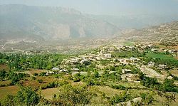 View of Kışla Neighbourhood
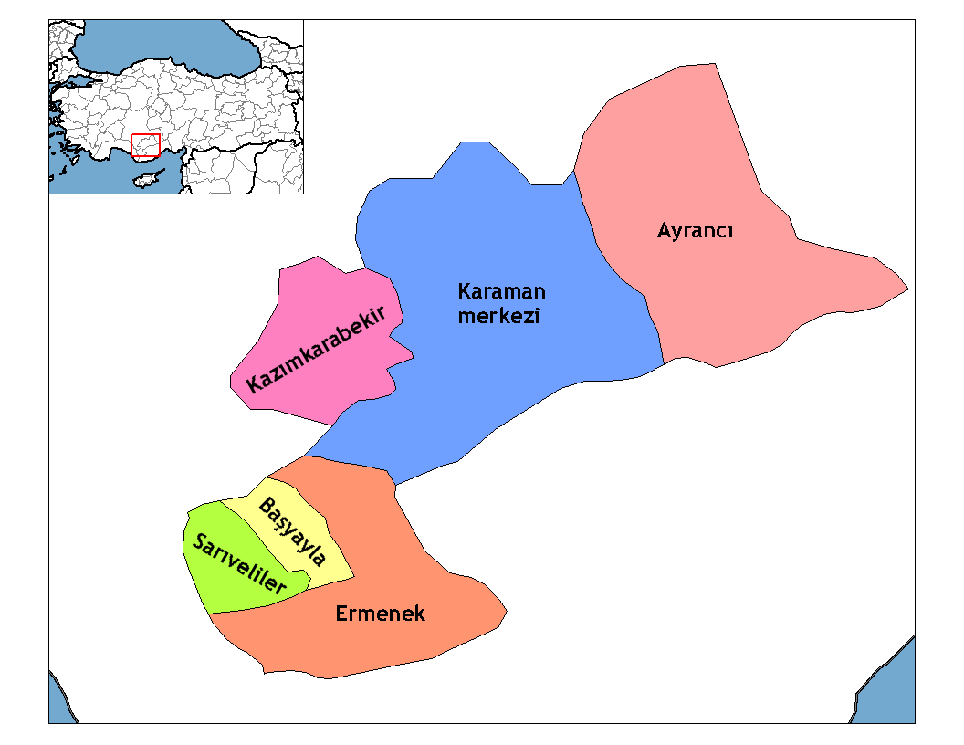
Görmeli is a village on the hillside of Taurus mountains near Ermenek, Karaman province, Turkey.
Contents
Geography
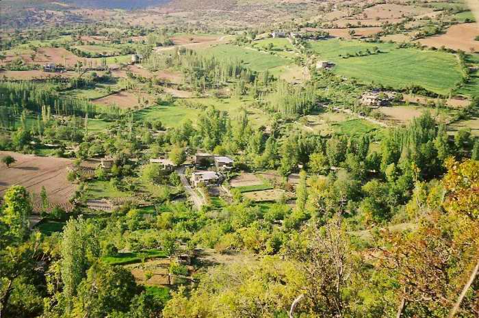
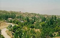 View of Çayır neighbourhood
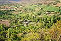
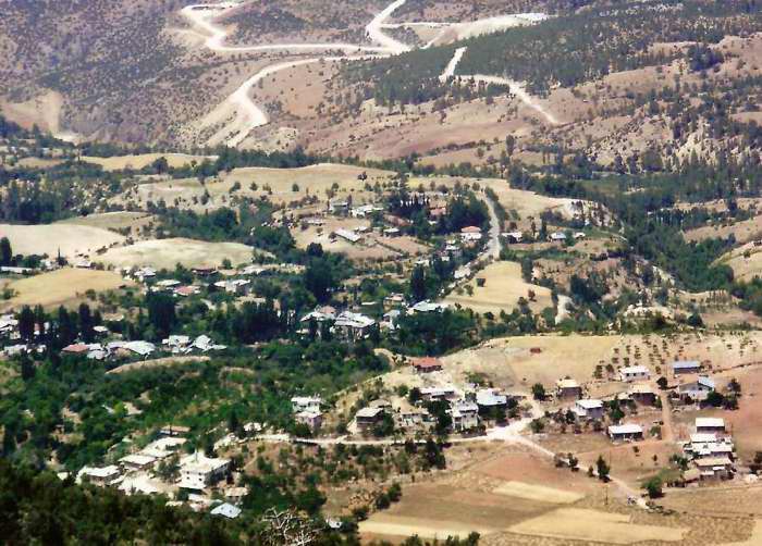
Görmeli is located in the Karaman Region’s Taurus Mountains range, on the slopes of Taurus mountains. It is on the south-east side of Ermenek town, in the Karaman province. It is 18 km. from the center of Ermenek and 90 km. from the touristic towns of the mediterranean region Anamur. The Map coordinates are 40° 42° North parallels and 30° 10° East meridians. The village is on the main road of Ermenek and Gülnar. It is surrounded by forests and high mountains. The area is very productive, due to watery fields and soft soil. Almost all vegetables and fruits are grown locally. Görmeli presents quite a spectacular sight with its meadows, streams, plants, trees, animals, and the traditional lifestyle of its people.
History
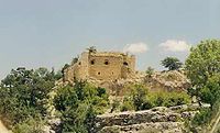
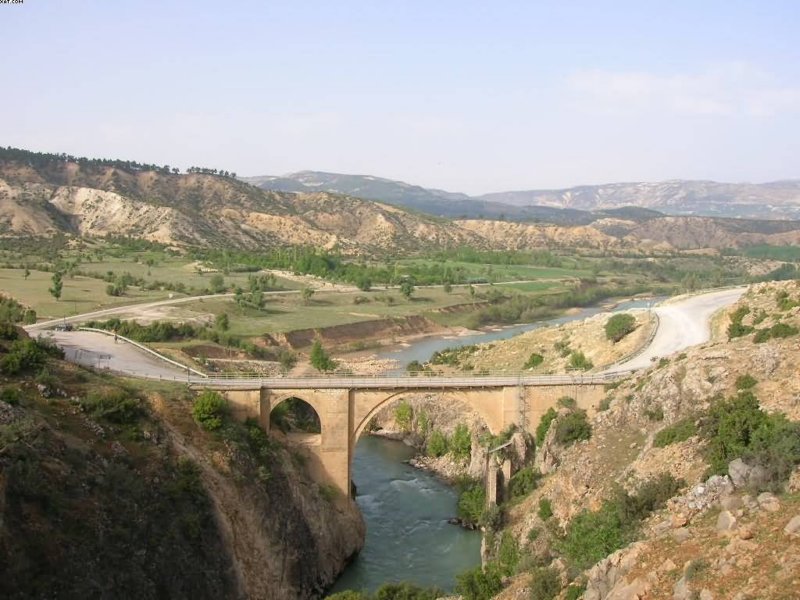
 View of Ala Bridge
The time in which the area first became inhabited is still unknown. However, it is said that people were brought from Adana by the Emirate of Karamanid hundreds of years ago. Ala Köprü is also called Görmel. Köprüsü is a bridge 5 km (3 mi) away from the village. It was built by the Karamanid Emirate. It is a masterpiece that could have reached this time. Its length is 27m. and its width is 4.70 m. Sadly, the future of this historical bridge is in jeopardy as it is going to be submerged by the Ermenek Dam, currently under construction. There is a historical building called Mennan Castle in the Nısa Neighbourhood near Görmeli. Mennan means "place to shelter in". The castle was built with rocks on a perpendicular mountain. It is also known as the castle that Karamanid from the Ottoman Gedik Ahmet Pasha, as a result of which Pir Ahmet Bey committed suicide within it. Sadly The castle is in ruins, dilapidated by treasure hunters. Some blame the authorities, whom, they say, did not attach enough importance to this historical building to protect it, with the result that the construction has been suffering from years of neglect.
 View of Mennan Castle
Culture
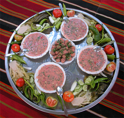
 Batırma is a traditional meal
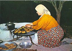 Tarhana
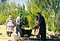
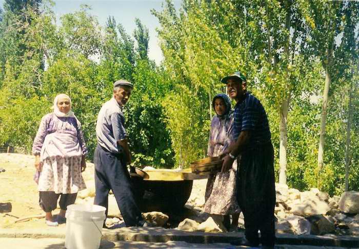
Visitors can taste a traditional water-prepared meal called 'Batırma'. It consists of small wheat pieces, tomatoes, pepper, parsley, sesame, and walnuts. These ingredients are mixed and kneaded with cold water. The meal is served accompanied by fresh peppers, cucumbers, boiled cabbage, eggplants, tomatoes and boiled grape leaves. Another traditional local food is called 'Tarhana'. It is prepared with either minced meat and potatoes. The ingredient is mixed with wheat, tomato sauce, onion, pepper, and parsley. The mixture is kneaded and then shaped like a palm. The pieces are grilled on oak coal. The people get up so early and most of them go to their fields or take their animals to pastures or mountains.
Economy
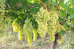 Görmeli's Grapes
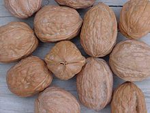 Wallnuts are grown everywhere
The hills and lower sides of Görmeli are not suited to farming. The Inhabitants mostly support themselves by growing and selling fruits,vegetables, dairy products, or stock breeding. "Görmeli's Grapes" are very famous, there are many grapes gardens in all fields, but also apple, fig, walnut, pomegranate trees are growing too. Every family has animals, several goats ,a cow, chickens. Sheep isn't preferred by the peasants as this animal can not adapt mountainous land. In addition the peasants don't eat sheep meat. Recent years,people grow vaccinated-special fruit saplings on the higher plateaus of the village. This economic activity also contributes budget of village box.
Gallery
-

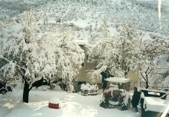
Görmeli in winter
-
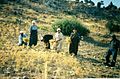
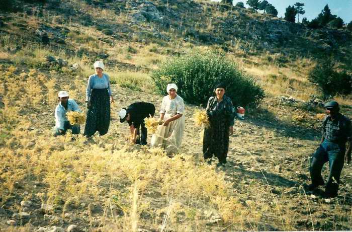
Harvesting chickpea
-
View from the coffee house
-
Boiling wheat
-
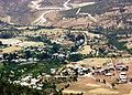
General view from village
-
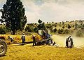
The peasants are winnowing grain
-
Another view from coffee house
-
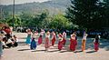
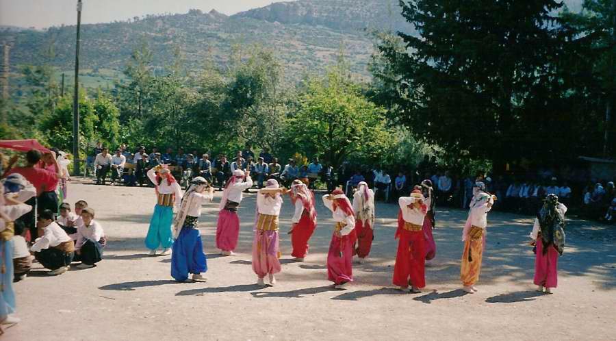
Festival in the school
-
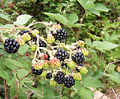
Delicious blackberries of Görmeli
-
View from Koca Çayır
-
View from the neighbourhood Tekke
-

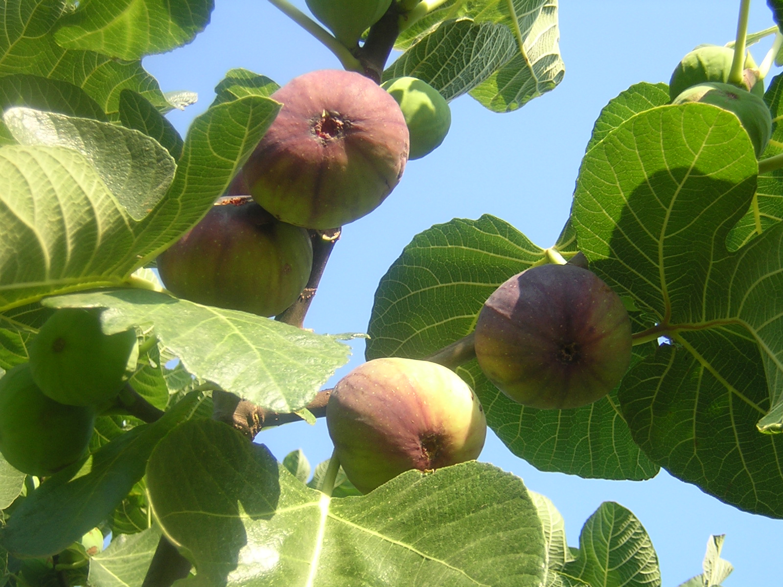
There is at least one fig tree in every garden.
-
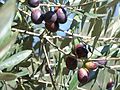
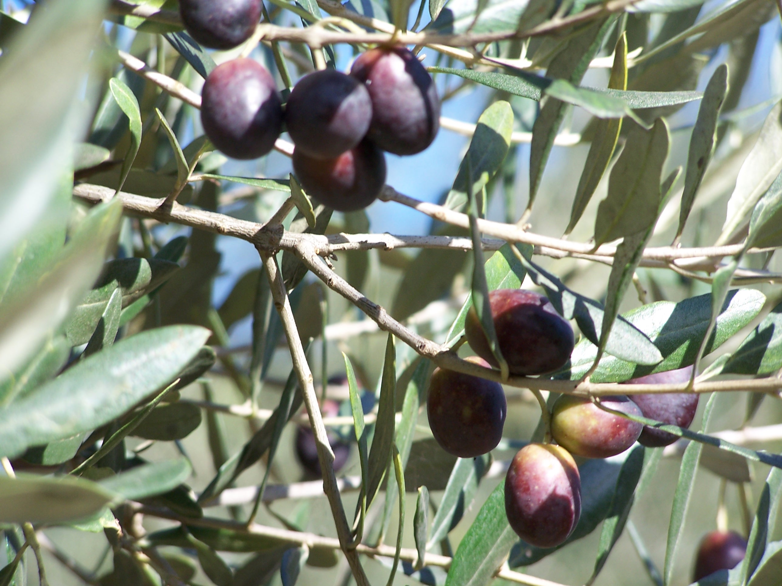
Quality olives of Görmeli
-
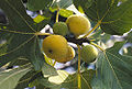
Sweet figs
-
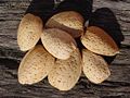
Almonds of Görmeli
-
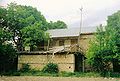
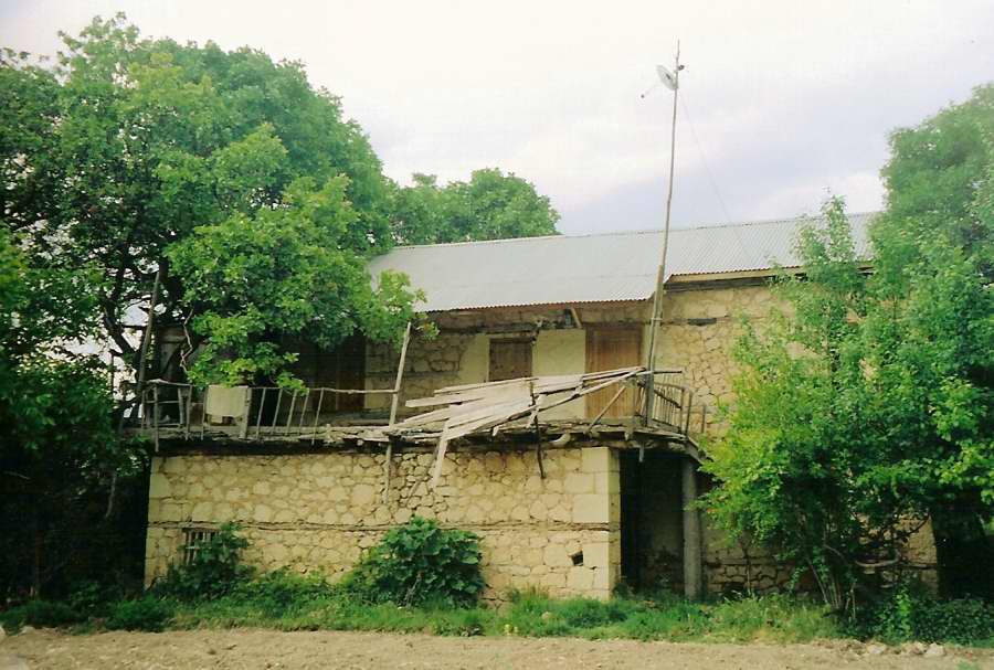
The old houses are made of stone in the village
-
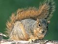
A red squirrel from village
-
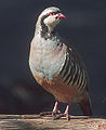
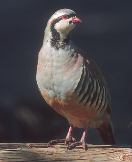
The partridges live on the mountains of Görmeli
-
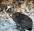
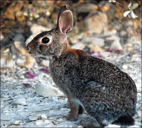
Wild Rabbit
-
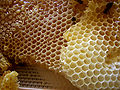
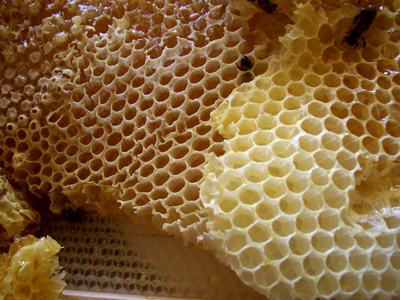
Honey is produced by peasants
-

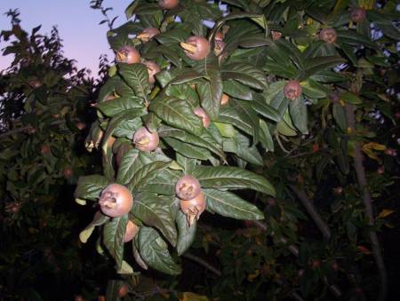
Medlars from village
-
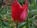
Wild Tulip in Görmeli
-

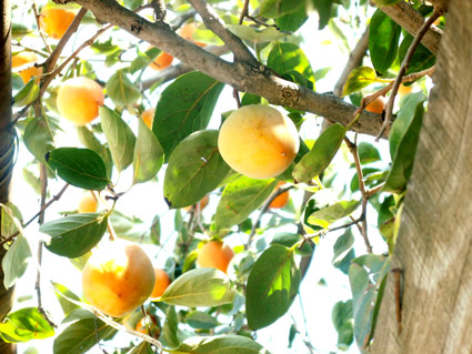
Persimmons from village
-
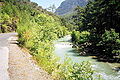
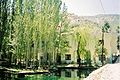
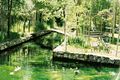
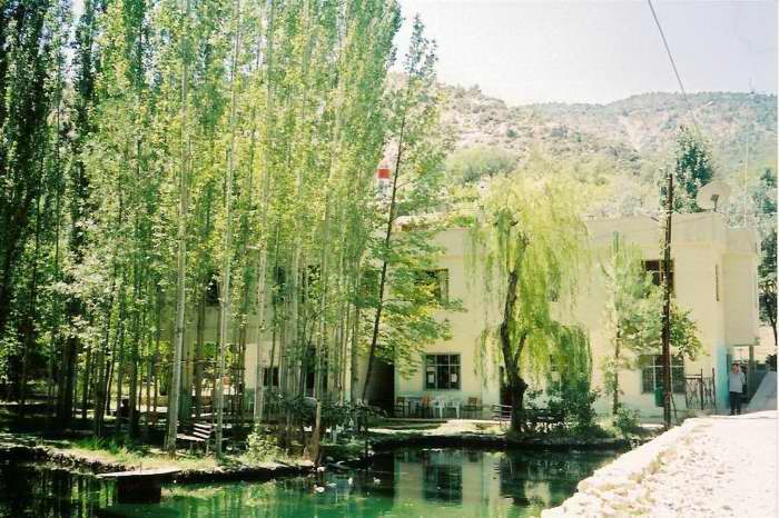
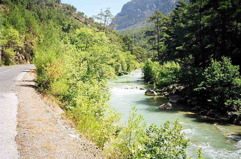
Natural Beauty Göksü River near Görmeli
Neighbourhoods
Görmeli village is divided into six neighbourhoods (capital one in bold):
- Boyalık
- Tekke
- Kışla
- Tuztaşı
- Köyyakası
- Nısa
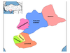
 Görmeli in Karaman Province (in the Central Anatolia region) of Turkey
Urban districts 
Rural districts RegionsAegean Black Sea Central Anatolia Eastern Anatolia Marmara Mediterranean Southeastern Anatolia Categories:- Districts of Karaman
- Central Anatolia Region
- Villages in Turkey
- Populated places in Karaman Province
-


Wikimedia Foundation. 2010.