- Taurus Mountains
-
For the Taurus Mountains on the moon, see Montes Taurus. For Mt. Taurus outside Cold Spring, New York, see Bull Hill.
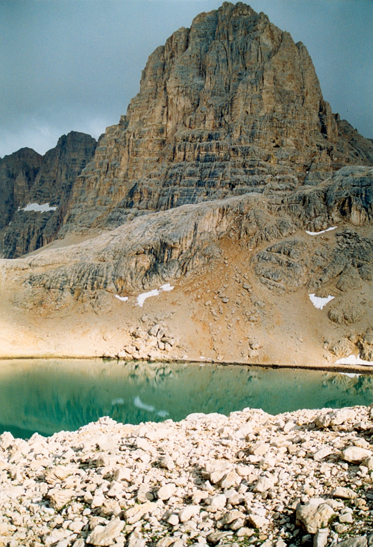
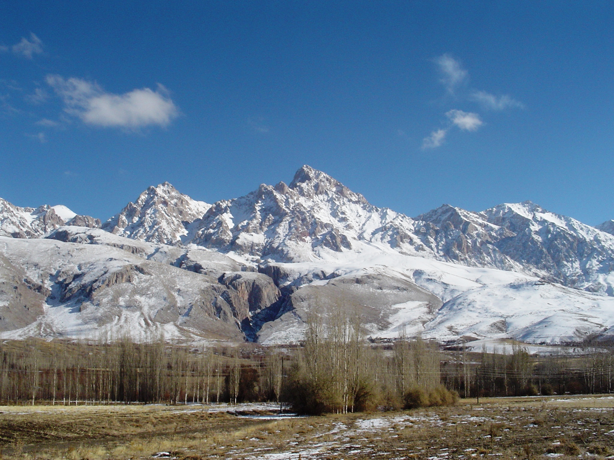
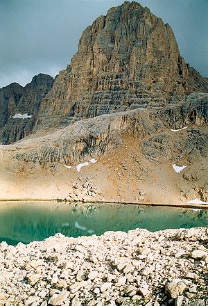 Direktaş, Yedi Göller (Seven Lakes), Ala Dağlar.
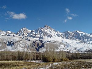
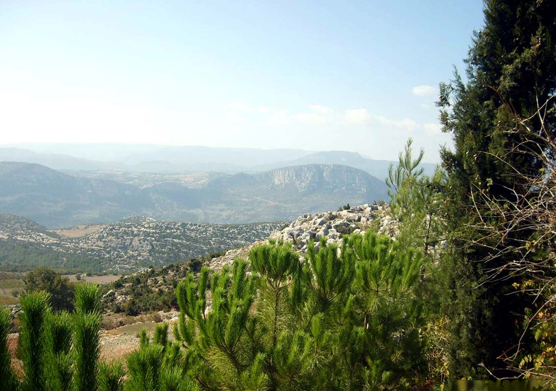
 Toros mountains near Mersin
Taurus Mountains (Turkish: Toros Dağları) are a mountain complex in southern Turkey, dividing the Mediterranean coastal region of southern Turkey from the central Anatolian Plateau. The system extends along a curve from Lake Eğirdir in the west to the upper reaches of the Euphrates and Tigris rivers in the east.
It has many peaks rising above 3,000–3,700 m, (10,000–12,000 ft). The Taurus complex is divided into four ranges:[1]
- Beydaglari mountain range, western, highest peak Mt. Kizlarsivrisi 3,086 m (10,125 ft)
- Aladaglar mountain range, central, highest peak Mt. Demirkazik 3,756 m (12,323 ft)
- Bolkar mountain range, southeastern, highest peak Mt. Medetsiz 3,524 m (11,562 ft)
- Munzur mountain range, northeastern, highest peak Mt. Akbaba 3,462 m (11,358 ft)
- Mercan mountain range, within the Munzur
The highest point in the central Tauruses is the summit of Mt. Demirkazık (3756m).[1]
Contents
Historical
A Bronze Age archaeological site, where early evidence of tin mining was found, is at Kestel.[2][page needed] The pass known in antiquity as the Cilician Gates (Turkish: Gülek Boğazı) crosses the range north of Tarsus. During World War I, a German and Turkish railway system through the Taurus Mountains proved to be a major strategic objective of the Allies. This region was specifically mentioned as a strategically controlled objective slated for surrender to the Allies in the Armistice, which ended hostilities against the Ottoman Empire.[3]
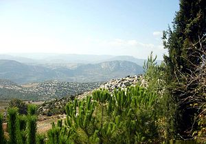
Geography
In the Aladaglar and Bolkar mountains, limestone has eroded to form karstic landscapes of waterfalls, underground rivers, and some of the largest caves of Asia. The Manavgat River originates on the southern slopes of the Beydaglari range.[4]
Attractions
In addition to hiking and mountain climbing,[1] there are two ski resorts on the mountain range, one at Davras about 25 km (16 mi) from the two nearest towns of Egirdir and Isparta, the second is Saklıkent 40 km (25 mi) from the city of Antalya.
References
- ^ a b c "Mountaineering in Turkey" All About Turkey
- ^ Yener, K.A. (2000) The Domestication of Metals: The Rise of Complex Metal Industries in Anatolia Brill, Leiden, ISBN 90-04-11864-0
- ^ Price, Ward (16 December 1918) "Danger in Taurus Tunnels" New York Times
- ^ "Manavgat River Water as a Limited but Alternative Water Resource for Domestic Use in Middle East" (PDF). http://www.ipcri.org/watconf/papers/ibrahim.pdf. Retrieved 2008-02-16.
External links
Coordinates: 37°00′N 33°00′E / 37°N 33°E
 Mountains of Turkey
Two main ranges Karadeniz • TorosMountains Acıgöl • Akdağ • Aktaş • Ağrı (Ararat) • Babadağ • Beşparmak (Latmus) • Davraz • Dilek (Mycale) • Erciyes • Erek • Göllü • Hasan • Honaz • Kaçkar • Kadifekale • Karacadağ • Karadag • Karagöl • Kaz (Ida) • Kula • Küçük Ağrı • Madur • Mahya • Nemrut • Nemrut (volcano) • Nif • Palandöken • Spil • Sultan • Süphan • Şaphane • Tendürek • Topçambaba • Uludağ • Yamanlar • ZurbahanCategories:- Mountain ranges of Turkey
- Physiographic provinces
- Mediterranean Region, Turkey
- Central Anatolia Region
- Fertile Crescent
Wikimedia Foundation. 2010.