- Nicholas County, West Virginia
-
Nicholas County, West Virginia 
Location in the state of West Virginia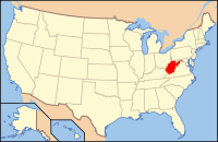
West Virginia's location in the U.S.Founded 1818 Seat Summersville Area
- Total
- Land
- Water
654 sq mi (1,694 km²)
649 sq mi (1,681 km²)
6 sq mi (16 km²), 0.88%Population
- (2000)
- Density
26,562
41/sq mi (16/km²)
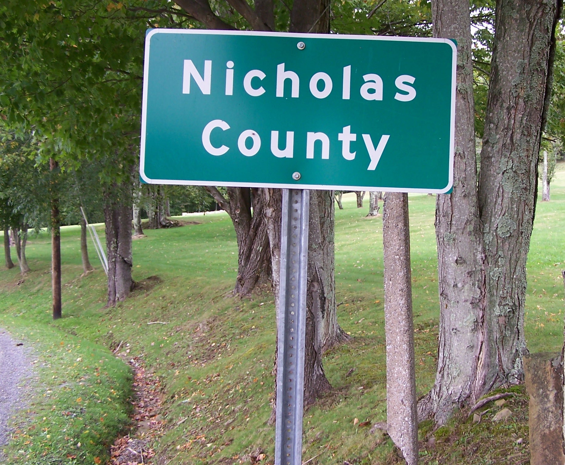
 One of several markers designating the border between Nicholas and Greenbrier counties along Greenbrier Road near Richwood. Older stone survey markers are located a few feet behind the modern highway sign.
Nicholas County is a county located in the U.S. state of West Virginia. As of the 2010 census, the population was 23,233. [1] Its county seat is Summersville[1]. Nicholas County was created in 1818 by the Virginia General Assembly and named for Virginia Governor Wilson Cary Nicholas.[citation needed]
Contents
Geography
According to the U.S. Census Bureau, the county has a total area of 654 square miles (1,695 km²), of which 649 square miles (1,680 km²) is land and 6 square miles (15 km²) (0.88%) is water.
Major highways
 U.S. Highway 19
 West Virginia Route 20
 West Virginia Route 39
 West Virginia Route 41
 West Virginia Route 55
Battle Fields
Canifax Ferry Battlefield, The Battle of Forks and Spoons- Kesslers Cross Lanes
Adjacent counties
- Braxton County (north)
- Webster County (northeast)
- Greenbrier County (southeast)
- Fayette County (southwest)
- Clay County (northwest)
- Kanawha County (west)
National protected areas
Demographics
Historical populations Census Pop. %± 1820 1,853 — 1830 3,346 80.6% 1840 2,515 −24.8% 1850 3,963 57.6% 1860 4,627 16.8% 1870 4,458 −3.7% 1880 7,223 62.0% 1890 9,309 28.9% 1900 11,403 22.5% 1910 17,699 55.2% 1920 20,717 17.1% 1930 20,686 −0.1% 1940 24,070 16.4% 1950 27,696 15.1% 1960 25,414 −8.2% 1970 22,552 −11.3% 1980 28,126 24.7% 1990 26,775 −4.8% 2000 26,562 −0.8% As of the census[2] of 2000, there were 26,562 people, 10,722 households, and 7,762 families residing in the county. The population density was 41 people per square mile (16/km²). There were 12,406 housing units at an average density of 19 per square mile (7/km²). The racial makeup of the county was 98.84% White, 0.05% Black or African American, 0.24% Native American, 0.19% Asian, 0.02% Pacific Islander, 0.10% from other races, and 0.55% from two or more races. 0.48% of the population were Hispanic or Latino of any race.
There were 10,722 households out of which 30.70% had children under the age of 18 living with them, 58.70% were married couples living together, 10.00% had a female householder with no husband present, and 27.60% were non-families. 24.80% of all households were made up of individuals and 11.80% had someone living alone who was 65 years of age or older. The average household size was 2.46 and the average family size was 2.91.
In the county, the population was spread out with 23.30% under the age of 18, 8.10% from 18 to 24, 27.60% from 25 to 44, 26.00% from 45 to 64, and 15.00% who were 65 years of age or older. The median age was 39 years. For every 100 females there were 95.60 males. For every 100 females age 18 and over, there were 92.20 males.
The median income for a household in the county was $26,974, and the median income for a family was $32,074. Males had a median income of $30,508 versus $17,964 for females. The per capita income for the county was $15,207. About 15.00% of families and 19.20% of the population were below the poverty line, including 25.40% of those under age 18 and 13.80% of those age 65 or over.
Cities and towns
Incorporated cities and towns
Unincorporated communities
- Belva
- Bentree
- Birch River
- Calvin
- Cambria
- Canvas
- Cottle
- Craigsville
- Drennen
- Enon
- Fenwick
- Gilboa
- Holcomb
- Hookersville
- Kesslers Cross Lanes
- Leivasy
- Lockwood
- Mount Nebo
- Muddelty
- Nettie
- New Hope
- Odell Town
- Persinger
- Pool
- Swiss
- Tioga
- Werth
- Zela
See also
- Carnifex Ferry Battlefield State Park
- National Register of Historic Places listings in Nicholas County, West Virginia
References
- ^ "Find a County". National Association of Counties. http://www.naco.org/Counties/Pages/FindACounty.aspx. Retrieved 2011-06-07.
- ^ "American FactFinder". United States Census Bureau. http://factfinder.census.gov. Retrieved 2008-01-31.

Clay County Braxton County Webster County Kanawha County 
 Nicholas County, West Virginia

Fayette County Greenbrier County Municipalities and communities of Nicholas County, West Virginia City 
Town CDPs Belva‡ | Birch River | Craigsville | Dixie‡ | Fenwick | Nettie | Tioga
Unincorporated
communitiesAllingdale | Bentree‡ | Calvin | Canvas | Cottle | Curtin | Drennen | Gad | Gilboa | Green Valley | Holcomb | Hominy Falls | Hookersville | Keslers Cross Lanes | Leivasy | Lockwood | Muddlety | New Hope | Mt. Lookout | Mount Nebo | Nallen‡ | Odell Town | Persinger | Poe | Pool | Runa | Saxman | Snow Hill | Swiss | Tolbert | Werth | Woodbine | Zela
Footnotes ‡This populated place also has portions in an adjacent county or counties
Coordinates: 38°17′N 80°48′W / 38.29°N 80.80°W
References
Categories:- West Virginia counties
- Nicholas County, West Virginia
- 1818 establishments in the United States
- Populated places established in 1818


Wikimedia Foundation. 2010.