- River Dodder
-
River Dodder
An Dothra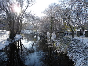
Dodder through RathgarOrigin Kippure Mountain, County Dublin Mouth Irish Sea at River Liffey Length 26 kilometres (16 mi) [1] Source elevation 763 metres [2] Basin area 120.8 km2 (12,080 ha) [2] The River Dodder (Irish: An Dothra) is one of the three main rivers of the Dublin region in Ireland, the others being the Liffey, of which the Dodder is the largest tributary, and the Tolka.
Contents
Course and system
The Dodder rises on the northern slopes of Kippure in the Wicklow Mountains, and is formed from several streams. The headwaters flow from Kippure Ridge, and include, and are often mapped solely as, Tromanallison (Allison's Brook), which is then joined by Mareen's Brook, including the Cataract of the Brown Rowan, and then the combined flow meeting the Cot and Slade Brooks.
In the river's valley at Glenasmole are the two Bohernabreena Reservoirs, a major part of the Dublin water supply system.
The Dodder is 26 kilometres (16 mi) long. [1] It passes the Dublin suburbs of Tallaght and then Firhouse, travels through Rathfarnham, Templeogue, Rathgar, Milltown, Clonskeagh, Donnybrook, and Ballsbridge, and enters the Liffey near Ringsend, along with the Grand Canal, at Grand Canal Dock.
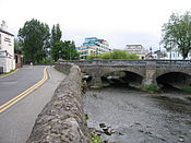
There is a weir just above the bridge at Ballsbridge and the river becomes tidal roughly where the bridge at Lansdowne Road crosses it.
The Dodder and the River Tolka are Dublin's second largest rivers, after the River Liffey. The river floods some surrounding areas from time to time.
“ The River Dodder is renowned for its quick catchment response and flashy characteristics. [2] ” The two greatest Dodder floods before 1986 occurred on 25 August 1905, and on 3 and 4 August 1931. Hurricane Charley (often spelled "Charlie" in Ireland) passed south of the country on 25 August 1986. In 24 hours, 200mm (almost 8 inches) of rain poured down on Kippure Mountain while 100mm fell on Dublin causing heavy river flooding, including the Dodder in many places, and hardship and loss were experienced. [2]
Tributaries
The Dodder's five main tributaries after Glenasmole are the Jobstown (or Tallaght) Stream, the Owendoher River and its tributary the Whitechurch Stream, the Little Dargle, the Dundrum (or Slang) Stream. [2] The Swan River (or Water), and the Muckross Stream, are other, late, tributaries.
Link with the Poddle
The River Poddle was linked with the River Dodder from Balrothery Weir, just north of Firhouse. This link formerly provided much of Dublin City's water supply. It was partly piped in the mid-20th century, and the connection was later broken by housing development. All that remains now are a small channel from the weir, dead-ending less than 100m from the weir, and some unseen underground flows.
Fauna
Fish and angling
Fish present in the river include brown trout and sea trout.
The fishing season is opened between 17 March - 30 September, and best fishing locations are Rathfarnham Road, Dodder Road Lower, Miltown Road and Churchtown Road Lower[citation needed]. To catch sea trout on this river it is best fished in September at night when the river is in spate.[citation needed]
Other wildlife
The Dodder is home to many water-bird species including mallard, grey heron, kingfisher, dipper, coot , moorhen, grey wagtail and mute swan.
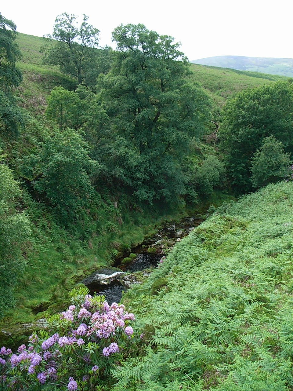
Pictures
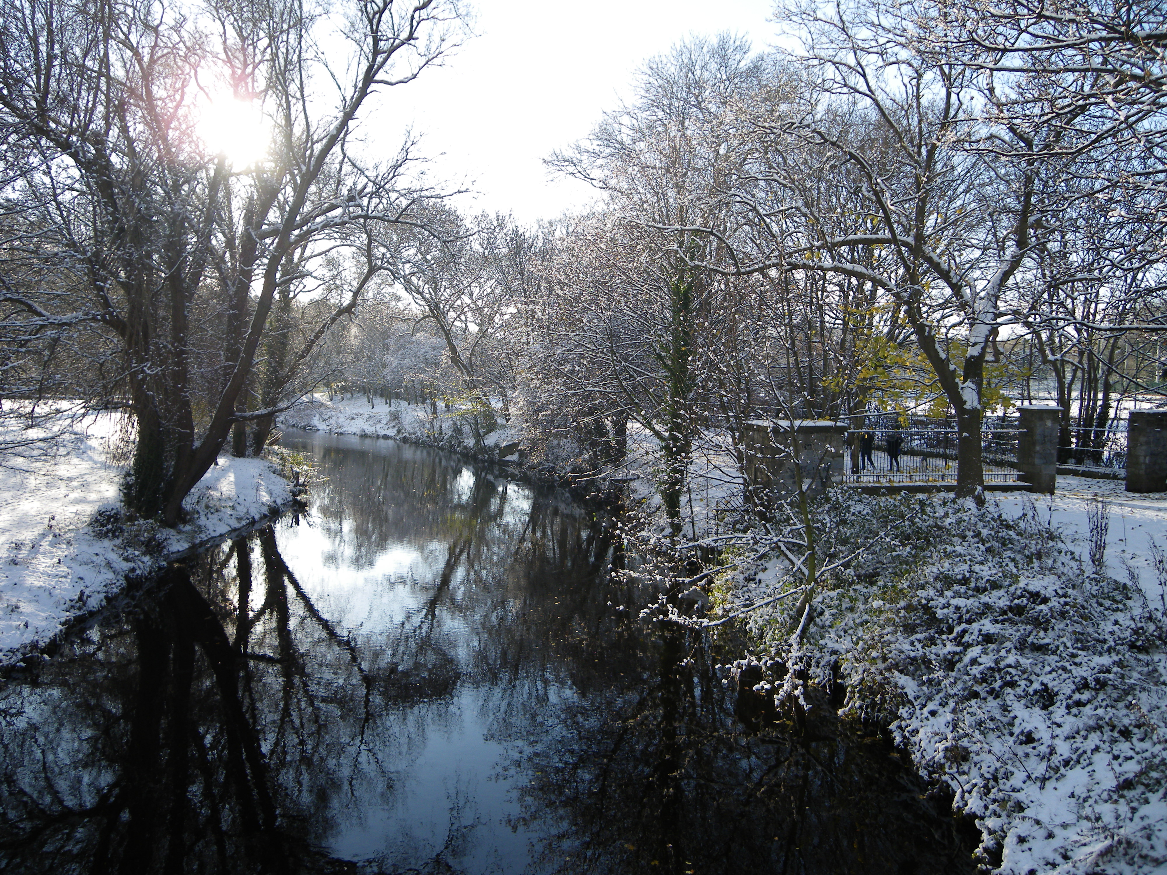
 Dodder in the Dublin Mountains 2.5 km from its source
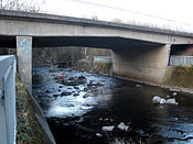
See also
- List of bridges over the River Dodder
- List of rivers in County Dublin
- Rivers of Ireland
- Dodder Park
References
- ^ a b River Dodder Catchment Flood Risk Assessment & Management Study, Dublin City Council. Retrieved: 2010-08-17
- ^ a b c d e Dodder Strategic Environmental Assessment Scoping Report, page 13. Dublin City Council. Retrieved: 2010-08-17.
Coordinates: 53°18′16.45″N 6°17′9.77″W / 53.3045694°N 6.2860472°W
Rivers of Ireland List of rivers in IrelandFlowing north Flowing to the Irish Sea Flowing to the Celtic Sea Flowing to the Atlantic Major tributaries of the Shannon: Brosna · Deel · Inny · Maigue · Suck
River names in italics indicate rivers which are partially or wholly in Northern Ireland, with the rest being wholly in the Republic of IrelandCategories:- Rivers of County Wicklow
- Rivers of County Dublin
- Geography of South Dublin (county)
- Templeogue


Wikimedia Foundation. 2010.