- Olallie Butte
-
Olallie Butte 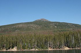
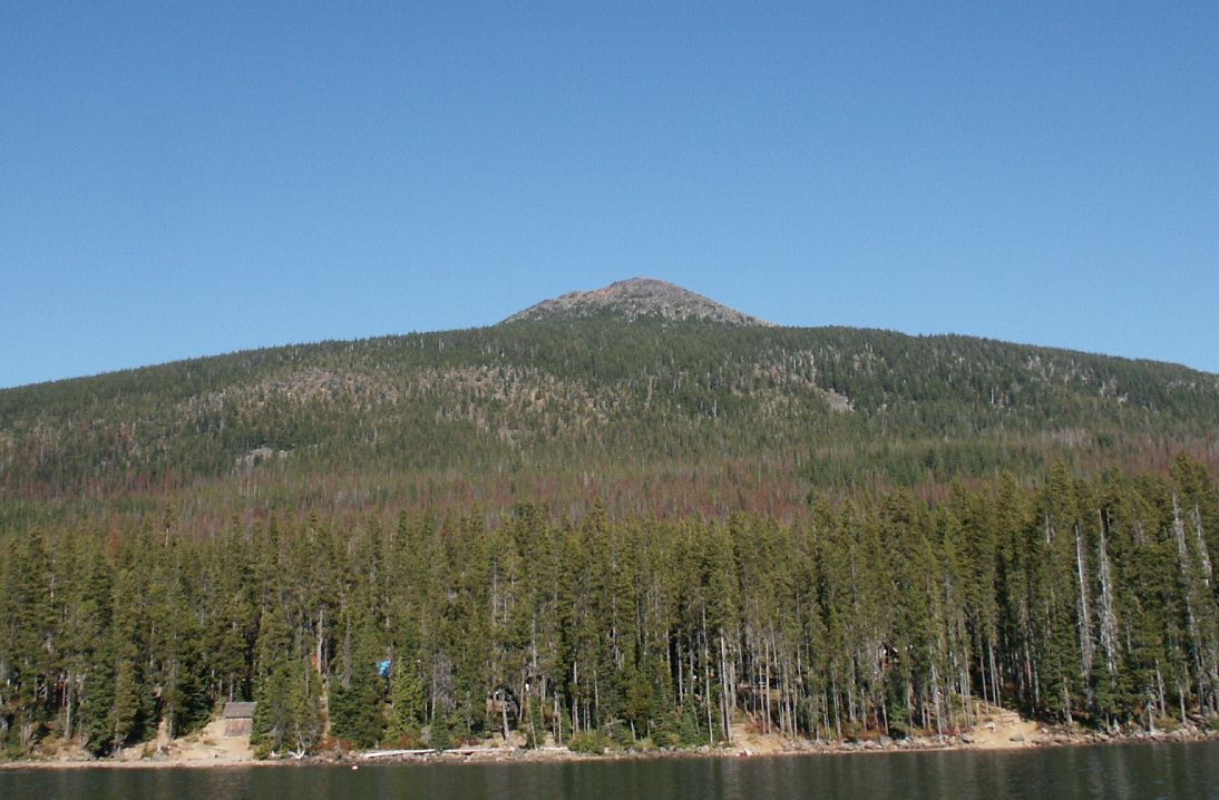
Olallie Butte from the south.Elevation 7,219 ft (2,200 m) [1] Prominence 2,275 ft (693 m) [2] Location Location Jefferson / Marion / Wasco counties, Oregon, USA Range Cascades Coordinates 44°49′18.1″N 121°45′50.2″W / 44.821694°N 121.763944°WCoordinates: 44°49′18.1″N 121°45′50.2″W / 44.821694°N 121.763944°W[1] Topo map USGS Olallie Butte Geology Type Shield volcano Age of rock Pleistocene [3] Volcanic arc/belt Cascade Volcanic Arc [3] Last eruption more than 25,000 years ago [3] Climbing Easiest route Trail [4] Olallie Butte is a steep-sided shield volcano in the Cascade Range of northern Oregon. It is the largest volcano and highest point in the 50-mile (80 km) distance between Mount Hood and Mount Jefferson, Oregon's two highest peaks. Ice Age glaciers carved two large cirques into the northeast and southeast flanks of the mountain exposing magma which hardened in the volcano's conduits to form the numerous spectacular rock pinnacles now found in the higher parts of the cirques.
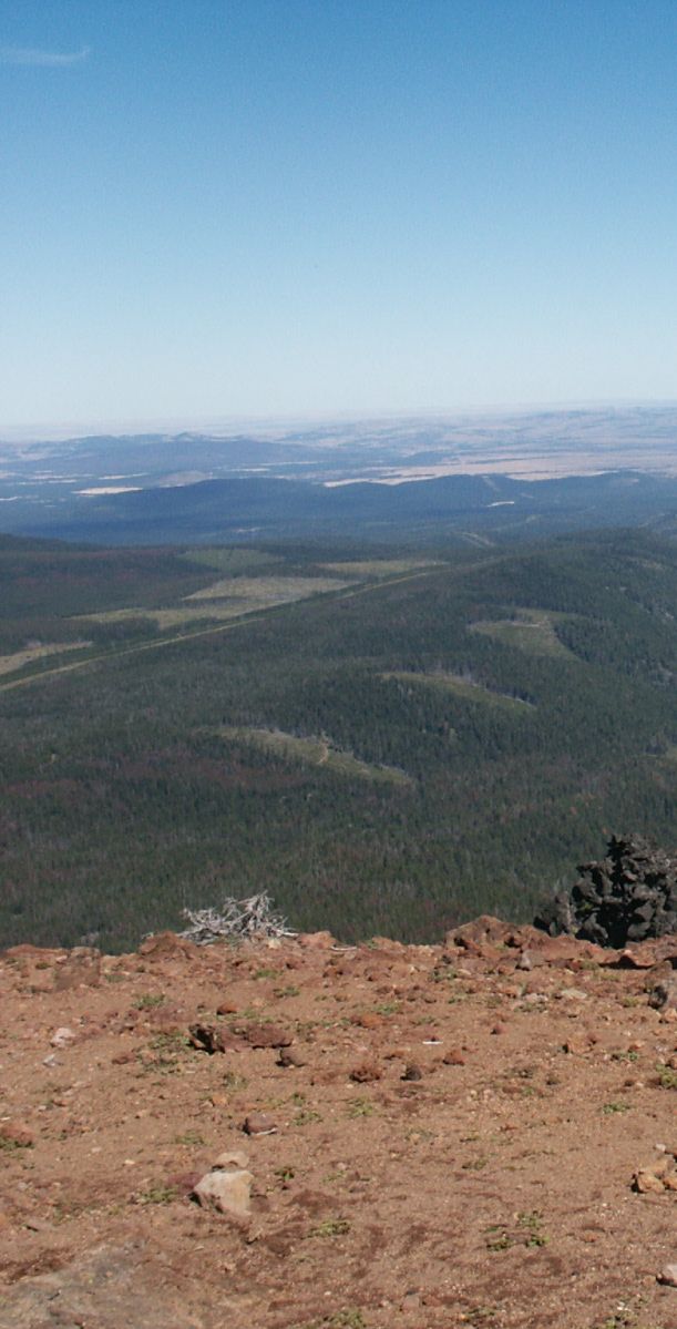
 From top of butte looking east.
A United States Forest Service fire lookout tower was built on the summit in 1920, but abandoned in 1967. The collapsed timbers of the lookout tower still remain on the summit to this day. A wedge-shaped piece of land including the summit area which had been part of the Willamette National Forest was ceded to the Warm Springs Indian Reservation under a revised interpretation of a 19th century treaty. Most of Olallie Butte except the lower western flank now lies within the reservation. Although official maintenance of the 4 miles (6.4 km) long trail to the summit also ended in the 1960s it still remains passable to hikers.
The summit of Olallie Butte is located on the border between Marion County and Jefferson County. The highest point in Wasco County is located at about 6,280 feet (1,910 m) in the northeast cirque. Olallie Butte overlooks the Olallie Scenic Area to the south which includes Olallie Lake. The term Olallie is Chinook Jargon for berry which are abundant in the area.
References
- ^ a b "Olallie". NGS data sheet. U.S. National Geodetic Survey. http://www.ngs.noaa.gov/cgi-bin/ds_mark.prl?PidBox=QD1865. Retrieved 2008-04-01.
- ^ "Olallie Butte, Oregon". Peakbagger.com. http://www.peakbagger.com/peak.aspx?pid=2398. Retrieved 2008-04-01.
- ^ a b c Wood, Charles A.; Jűrgen Kienle (1993). Volcanoes of North America. Cambridge University Press. pp. 176–177. ISBN 0-512-43811-X.
- ^ Grubbs, Bruce (1999-04-01). Hiking Oregon's Central Cascades. Falcon. pp. 30–31. ISBN 978-1560448730. http://books.google.com/books?id=YIULH2Jk7yIC&pg=PA30&lpg=PA30&dq=Olallie+Butte&source=web&ots=l9Ov6IZp8j&sig=nKCM5X6uRQFMlDijUKXi07W_ywI&hl=en&sa=X&oi=book_result&resnum=5&ct=result#PPA31,M1.
- Harris, Stephen L. (2005). Fire Mountains of the West: The Cascade and Mono Lake Volcanoes (3rd ed.). Mountain Press Publishing Company. ISBN 0-87842-511-X.
- Kresek, Ray (1998). Fire Lookouts of the Northwest (3rd ed.). Historic Lookout Project. ISBN 0-87770-632-8.
Categories:- Shield volcanoes
- Subduction volcanoes
- Cascade Volcanoes
- Volcanoes of Oregon
- Mountains of Oregon
- Landmarks in Oregon
- Landforms of Jefferson County, Oregon
- Landforms of Wasco County, Oregon
- Cascade Range
- Fire lookout towers in Oregon
- Landforms of Marion County, Oregon
- Mount Hood National Forest
Wikimedia Foundation. 2010.