- Maiden Peak (Oregon)
-
Maiden Peak 
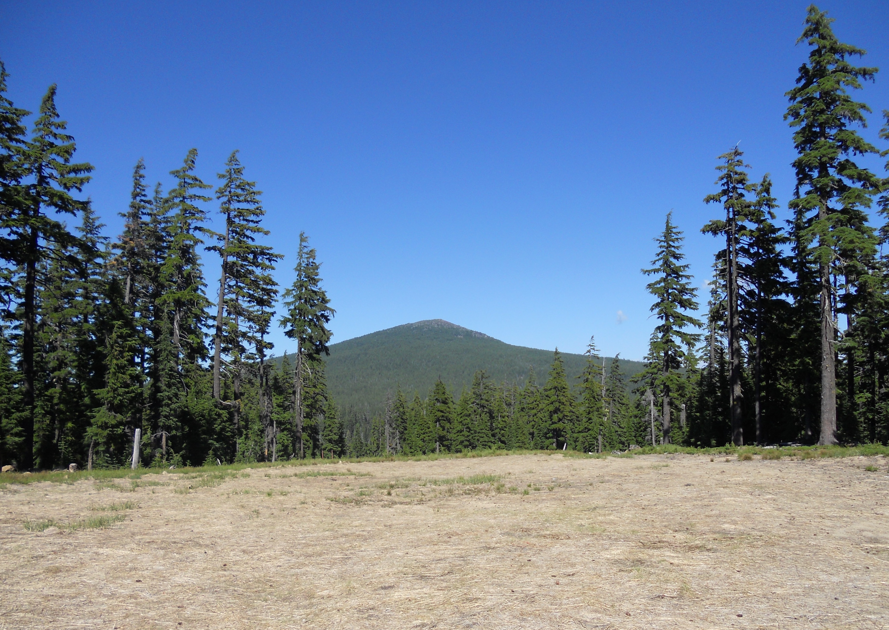
Maiden Peak as seen from the north side of Eagle PeakElevation 7,823 ft (2,384 m) NAVD 88[1] Prominence 2,578 ft (786 m) [2] Location Deschutes / Lane counties, Oregon, USA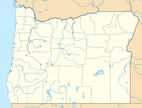
 Maiden Peak
Range Cascades Coordinates 43°37′36.6″N 121°57′53.3″W / 43.626833°N 121.964806°WCoordinates: 43°37′36.6″N 121°57′53.3″W / 43.626833°N 121.964806°W[1] Topo map USGS The Twins Geology Type Shield volcano Age of rock Less than 250,000 years old [3] Climbing Easiest route Trail Maiden Peak is a steep-sided shield volcano in the Cascade Range of central Oregon. It is the highest point in the 43-mile (69 km) distance between Mount Bachelor and Diamond Peak. Ice Age glaciers carved a large cirque into the northeast flank of the mountain, exposing magma which hardened in the volcano's conduits to form the numerous rock pinnacles now found in the upper part of the cirque.
The summit of Maiden Peak consists of a steeper cinder cone which sits atop the underlying shield volcano. It is located on the Cascade Crest, which forms the border between Lane County and Deschutes County.[4] A United States Forest Service fire lookout tower was built on the summit in 1923, but destroyed in 1958. A 5.8-mile (9.3 km) trail zigzags up to the summit from the southwest.
References
- ^ a b "Maiden". NGS data sheet. U.S. National Geodetic Survey. http://www.ngs.noaa.gov/cgi-bin/ds_mark.prl?PidBox=PB0769. Retrieved 2008-11-00.
- ^ "Maiden Peak, Oregon". Peakbagger.com. http://www.peakbagger.com/peak.aspx?pid=2429. Retrieved 2008-04-01.
- ^ Wood, Charles A.; Jűrgen Kienle (1993). Volcanoes of North America. Cambridge University Press. pp. 354. ISBN 0-512-43811-X.
- ^ "Maiden Peak". Geographic Names Information System, U.S. Geological Survey. http://geonames.usgs.gov/pls/gnispublic/f?p=gnispq:3:::NO::P3_FID:1145754. Retrieved 2008-11-16.
Further reading
- Harris, Stephen L. (2005). Fire Mountains of the West: The Cascade and Mono Lake Volcanoes (3rd ed.). Mountain Press Publishing Company. ISBN 0-87842-511-X.
- Kresek, Ray (1998). Fire Lookouts of the Northwest (3rd ed.). Historic Lookout Project. ISBN 0-87770-632-8.
- "Maiden Peak, Oregon". Volcano World. http://volcano.oregonstate.edu/vwdocs/volc_images/north_america/maiden_peak.html. Retrieved 2008-12-19.
External links
 Media related to Maiden Peak (Oregon) at Wikimedia Commons


Panorama of the view from Maiden Peak's summit Categories:- Shield volcanoes
- Subduction volcanoes
- Cascade Volcanoes
- Volcanoes of Oregon
- Mountains of Oregon
- Landmarks in Oregon
- Cascade Range
- Fire lookout towers in Oregon
- Landforms of Lane County, Oregon
- Landforms of Deschutes County, Oregon


Wikimedia Foundation. 2010.