- Nipigon River
-
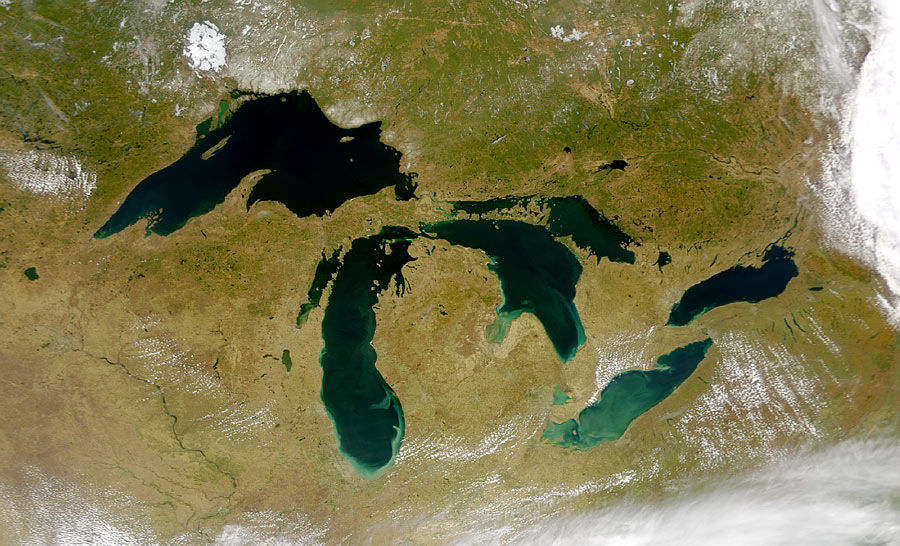
The Nipigon River is about 48 km (30 mi) long and 50 to 200 m (165 to 656 ft) wide in Ontario, Canada. The river drains Lake Nipigon into Nipigon Bay in Lake Superior, dropping from an elevation of 260 m (853 ft) to 183 m (600 ft).
Contents
History
The Nipigon River was a thing of legend for the size and quantity of the brook trout that were to be found there. However, four dams built on the Nipigon led to a major decline in their population. The four dams are as follows:
- Cameron Falls Dam built in 1918
- Virgin Falls Dam built in 1925
- Alexander Dam built in 1930
- Pine Portage Dam built in 1950
Modern uses
Three hydroelectric dams, Cameron Falls Dam, Alexander Dam, and Pine Portage Dam on the Nipigon provided 2,144 gigawatt-hours in 2000[1]. The river is also a popular fishing destination.
Fishing
 Prince Edward, Prince of Wales talks with river guide Neil McDougall at their camp on the Nipigon River, 1919.
In 1915 Dr Cook caught the world record for the largest brook trout, aka speckled trout, or coaster trout. Four years later, Prince Edward, Prince of Wales (later King Edward VIII and Duke of Windsor), spent time fishing on the Nipigon; a trout that he caught was mounted and today is displayed at the National Archives of Canada.[2] The river also has a run of lake trout, rainbow trout and salmon during various times of the year. Fish that migrate up the river are able to get to the first dam which is located approximately 15 miles (24 km) from the mouth of the river system. The reservoir between the dams are good fishery, especially for large speckled trout and lake trout. Fishing starts the first of May until freeze up at the end of November. The river can be accessed from boat, or fished by shore from various strategic locations.
See also
References
External links
Great Lakes of North America Main lakes 
Secondary lakes Waterways Detroit River • Erie Canal • French River • Great Lakes Waterway • Niagara River • Nipigon River • St. Clair River • Saint Lawrence River • Saint Lawrence Seaway • St. Marys River • Soo Locks • Straits of Mackinac • Trent–Severn Waterway • Welland CanalLists of islands Historic geology Lakeshores Related topics Basin • Bays of the Great Lakes • Great Lakes region • Georgian Bay • Great Lake ships • Isle Royale • Lake effect • Manitoulin Island • Megalopolis • Quebec City – Windsor Corridor • Settlements • Shipwrecks • Tall shipsCanadian Heritage Rivers System 
Rivers Alsek • Arctic Red • Athabasca • Bay du Nord • Bloodvein • Bonnet Plume • Boundary Waters • Clearwater • Cowichan • Detroit • Fraser • French • Grand • Hayes • Hillsborough • Humber • Kazan • Kicking Horse • Main • Margaree • Mattawa • Missinaibi • North Saskatchewan • Red • Rideau • Seal • Shelburne • Soper • South Nahanni • St. Croix • St. Marys • Tatshenshini • Thames • Thelon • The Three Rivers • Upper Restigouche • YukonNominated See also: American Heritage Rivers • Category:American Heritage Rivers • Category:Canadian Heritage Rivers • Category:Rivers of Canada Categories:- Canadian Heritage Rivers
- Rivers of Ontario
- Geography of Thunder Bay District
- Tributaries of Lake Superior

Wikimedia Foundation. 2010.