- Malvern East, Victoria
-
Malvern East
Melbourne, Victoria
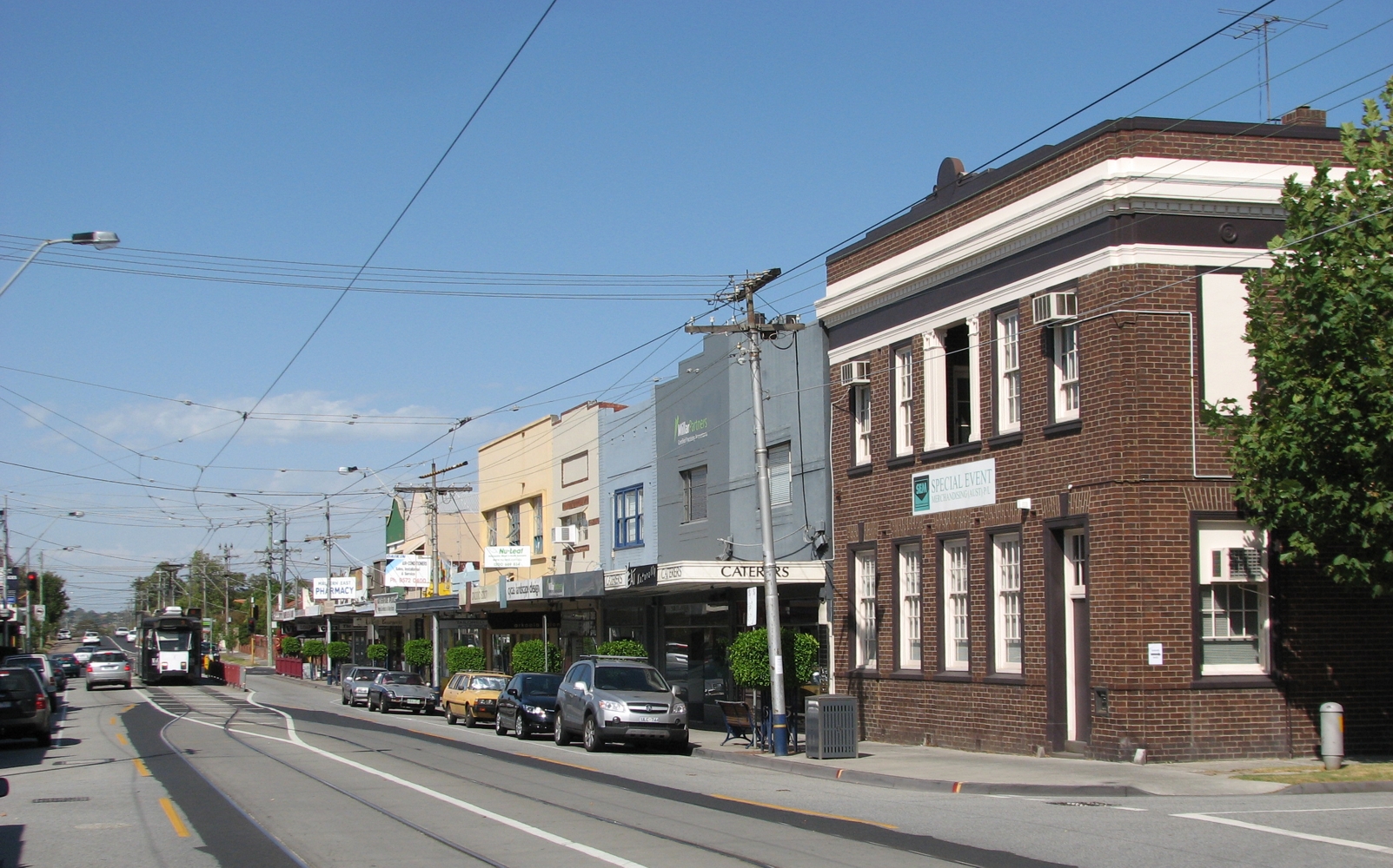
Waverley Road, Malvern East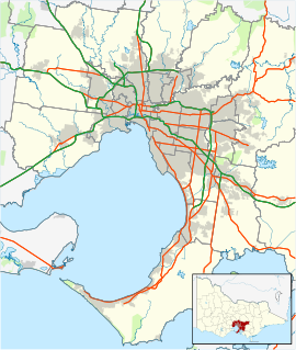
 Malvern East
Population: 19,593 (2006)[1] Postcode: 3145 Area: 7.6 km² (2.9 sq mi) Location: 11 km (7 mi) from Melbourne LGA: City of Stonnington State District: Malvern Federal Division: Higgins Suburbs around Malvern East: Malvern Glen Iris Ashburton Caulfield East Malvern East Ashwood Carnegie Murrumbeena Chadstone Malvern East is a suburb in Melbourne, Victoria, Australia, 11 km south-east from Melbourne's central business district. Its Local Government Area is the City of Stonnington. At the 2006 Census, Malvern East had a population of 19,593.
Malvern East is bounded to the north by Wattletree Road and Gardiners Creek, to the east by Warrigal Road, to the south by the Princes Highway (Dandenong Road) and to the west by Tooronga Road.
It is most famous for the Chadstone Shopping Centre, the largest shopping centre in the southern hemisphere, and the largest by total lettable space under one roof.[2][3][4][5]
In recent times, what was once a relatively small suburb was extended to incorporate parts of neighbouring Chadstone. Based on its easterly proximity to Malvern, the expansion and redefinition of East Malvern was driven in the 1990s by resident groups eager to 'reclaim' their address from being identified with the Chadstone Shopping Centre, which had been massively expanded since its original construction. However, the Chadstone shopping centre shares the 'East Malvern' address and postcode.
Contents
History
The first Malvern East Post Office opened on 4 August 1914 and was renamed Wattletree Road twenty days later. The second Malvern East Post Office opened in 1924 and was renamed Central Park in 1928. The third Malvern East Post Office was renamed from Caulfield East in 1928, but reverted to that name in 1929. The fourth Malvern East Post Office opened around 1935 and closed in 1993.[6]
Three Post Offices remain marking the major commercial areas of the suburb; Wattletree Road office on the corner of Tooronga Road, Central Park office on Burke Road near Wattletree Road and Darling South office on Waverley Road.
The suburb is also home to the Buddhist Society of Victoria, founded in 1953, making it the oldest Buddhist Institution in Victoria.
Parks and gardens
Malvern East has a number of popular public open spaces, the most notable of which are Hedgeley Dene Gardens, Central Park and the Urban Forest Reserve. While Central Park and its surrounding residential neighbourhood are subject to heritage protection, Hedgeley Dene Gardens is the first public open space to be designated worthy of protection on neighbourhood character grounds.
Transport
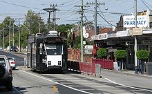 Tram terminus on Waverley Road
Malvern East is serviced by Darling, East Malvern and Holmesglen railway stations, all on the Glen Waverley line; Caulfield and Malvern railway stations on the Frankston line, Cranbourne line and Pakenham line ; the numbers 3 and 5 tram routes.
The Melbourne bus routes 612, 623, 624, and 627 also services the area.
The suburb is also serviced by the community bike path along Gardiners Creek which joins, and is an integral part, of the Greater Melbourne network of bike paths.
Sport
The suburb has an Australian Rules football team, Tooronga Malvern Football Club, competing in the Southern Football League. The De La Salle Old Collegians Associated Football Club also competes at Waverley Park on Waverley Road in the Victorian Amateur Football Association in A Section.
Malvern East also boasts one of the largest Australian Rules Auskick clinics in Australia which is held on Saturday mornings during winter.
Golfers play at the course of the East Malvern Golf Club on Golfers Drive,[7] the Malvern Valley Public Golf Course on Golfers Drive [8] or at the course of the Nepean Golf Club on Waverley Road.[9]
Notable citizens
- Bruce Clarke jazz guitarist, composer and educator lived in Malvern East.
See also
- City of Malvern - the former local government area of which Malvern East was a part.
References
- ^ Australian Bureau of Statistics (25 October 2007). "Malvern East (State Suburb)". 2006 Census QuickStats. http://www.censusdata.abs.gov.au/ABSNavigation/prenav/LocationSearch?collection=Census&period=2006&areacode=SSC21429&producttype=QuickStats&breadcrumb=PL&action=401. Retrieved 2007-09-29.
- ^ http://www.colliers.com.au/News/News-details.aspx?NewsId=%7B33DCC659-58D5-46C8-A637-42DE9E6357BC%7D
- ^ http://www.universalconcretepumping.com.au/attachments/chadstone_shopping_centre.pdf
- ^ http://www.heraldsun.com.au/news/victoria/chaddy-now-the-biggest/story-e6frf7kx-1225799041511
- ^ http://www.chadstoneshopping.com.au/centreinfo/
- ^ Premier Postal History, Post Office List, https://www.premierpostal.com/cgi-bin/wsProd.sh/Viewpocdwrapper.p?SortBy=VIC&country=, retrieved 2008-04-11
- ^ Golf Select, East Malvern, http://www.golfselect.com.au/armchair/courseView.aspx?course_id=655, retrieved 2009-05-11
- ^ Golf Select, Malvern Valley, http://www.golfselect.com.au/armchair/courseView.aspx?course_id=2114, retrieved 2009-05-11
- ^ Golf Select, Nepean, http://www.golfselect.com.au/armchair/courseView.aspx?course_id=674, retrieved 2009-05-11
External links
Coordinates: 37°52′16″S 145°03′11″E / 37.871°S 145.053°E
Suburbs of the City of Stonnington | Melbourne | Victoria Categories:- Suburbs of Melbourne


Wikimedia Foundation. 2010.