- Nishiizu, Shizuoka
-
Nishiizu
西伊豆町— Town — Location of Nishiizu in Shizuoka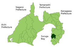

 Nishiizu
Coordinates: 34°46′N 138°47′E / 34.767°N 138.783°ECoordinates: 34°46′N 138°47′E / 34.767°N 138.783°E Country Japan Region Chūbu (Tōkai) Prefecture Shizuoka Area – Total 105.52 km2 (40.7 sq mi) Population (February 2009) – Total 9,720 – Density 92.1/km2 (238.5/sq mi) Time zone Japan Standard Time (UTC+9) Phone number 0558-55-0211 Website Town of Higashiizu Nishiizu (西伊豆町 Nishiizu-chō) is a town located in Kamo District, Shizuoka, Japan. As of 2009, the town has an estimated population of 9,720 and a density of 92.1 persons per km². The total area is 105.52 km².
Contents
Geography
Sandwiched between the Amagi Mountains to the west and Suruga Bay on the Pacific Ocean to the west, Nishiizu has a hill hinterland and a rocky, indented coast. The area has numerous hot springs. Warmed by the warm Kuroshio Current, the area enjoys a warm maritime climate with hot, humid summers and mild, cool winters. Parts of the town are within the borders of Fuji-Hakone-Izu National Park,
Neighboring municipalities
History
During the Edo period, all of Izu Province was tenryō territory under direct control of the Tokugawa shogunate, and the area now comprising Nishiizu consisted of seven villages within ancient Naka District. During the cadastral reform of the early Meiji period in 1889, the area was reorganized into three villages (Nishina, Tago, and Ugusu), which became part of Kamo District from 1896. A fourth village, Arari, was created out of Ugusu the same year.
The town of Nishiizu was founded on March 31, 1956 through the merger of Tago and Nishina and in September of the same year, Ugusu and Arari villages were rejoined to form Kamo. Kamo was merged into Nishiizu on April 1, 2005.
Economy
The economy of Nishiizu is dominated by tourism centered on the hot spring resort industry, and by commercial fishing.
Transportation
Nishiizu is served by Japan National Route 136 highway, but has no train service.
Gallery
-
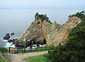
The "Golden Promontory" in Nishiizu, near Ugusu
-
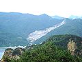
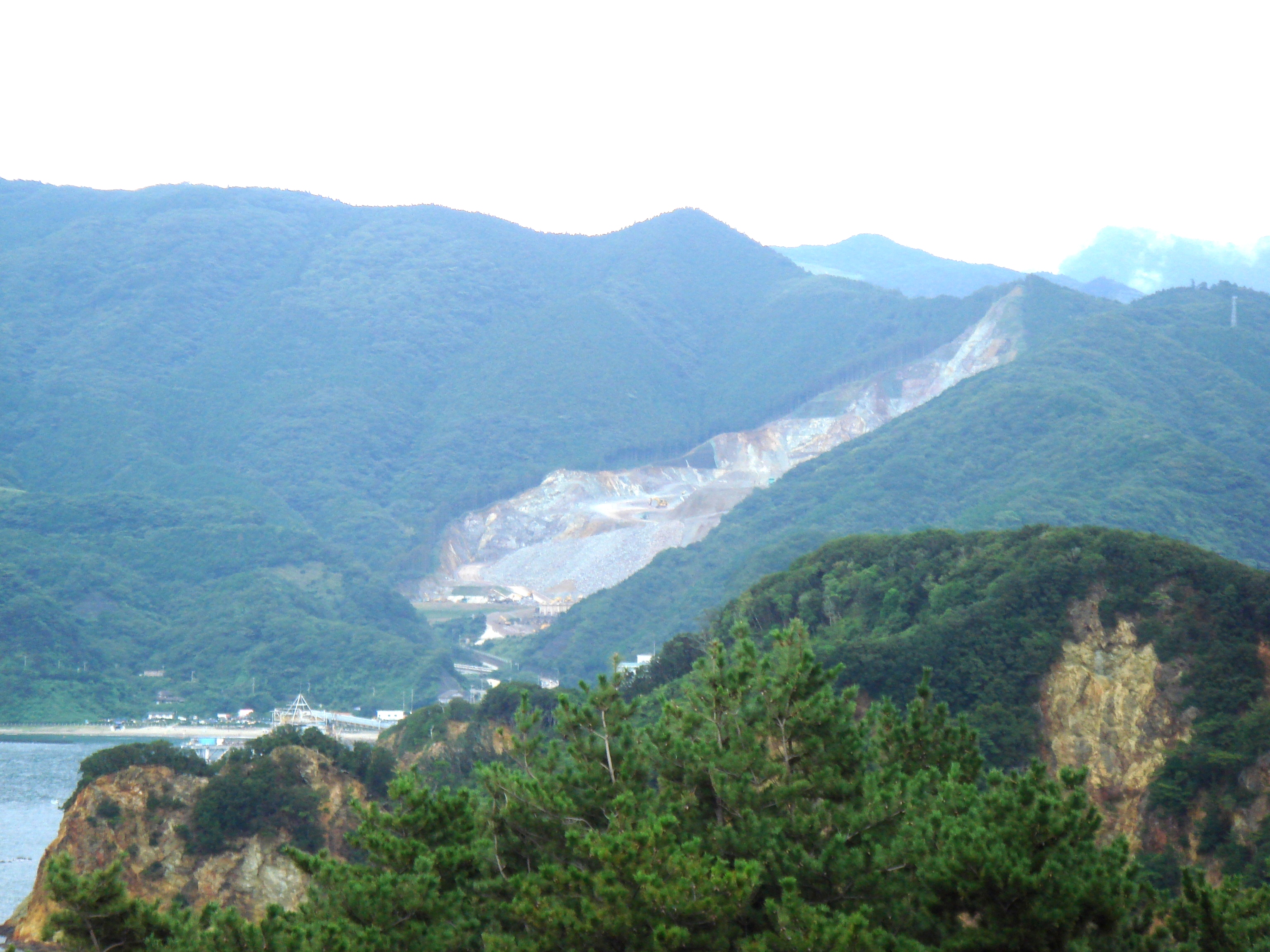
Ugusu Bay, with stone quarry area
External links
- Nishiizu official website (Japanese)
 Shizuoka Prefecture
Shizuoka (capital city) Wards 
Hamamatsu Wards Other cities Kamo District - Higashiizu
- Kawazu
- Minamiizu
- Matsuzaki
- Nishiizu
Tagata District Suntō District Haibara District Shūchi District Categories:- Towns in Shizuoka Prefecture
- Populated coastal places in Japan
- Shizuoka geography stubs
-


Wikimedia Foundation. 2010.