- Malabo
-
Malabo  Location in Bioko
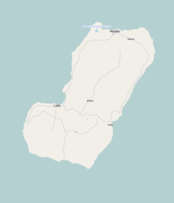
 MalaboLocation in Equatorial Guinea
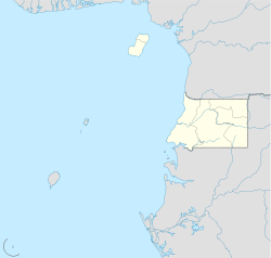 Malabo
Coordinates: 3°45′7.43″N 8°46′25.32″E / 3.7520639°N 8.7737°E Country  Equatorial Guinea
Province Bioko Norte Province Founded 1827 (as "Port Clarence") Current name Since 1973 Elevation 0 m (0 ft) Population (2005) - Total 155,963 Time zone WAT (UTC+1) Malabo (
 /məˈlɑːboʊ/) is the capital of Equatorial Guinea, located on the northern coast of Bioko Island (formerly Fernando Pó) on the rim of a sunken volcano.[1]. With a fast growing population of 155,963 (2005) it is also the second largest city in the country, after Bata in Río Muni on the African mainland.
Contents
History
The city was first founded by the British in 1827, who leased the island from Spain during the colonial period. Named Port Clarence, it was used as a naval station in the effort to suppress the slave trade. Many newly freed slaves were also settled there, prior to the establishment of Liberia as a colony for freed slaves. While many of them later relocated to Sierra Leone, some of their descendants, called Fernandinos, can still be found in Malabo and the surrounding area, where they constitute a distinct ethnic group, speaking their own Afro-Portuguese pidgin dialect.
When the island reverted to complete Spanish control, Malabo was renamed Santa Isabel. It was chosen to replace the mainland city of Bata as the capital of the country in 1969, and was renamed Malabo in 1973 as part of President Francisco Macías Nguema's campaign to replace European place names with "authentic" African ones.
During his "reign of terror," Macías Nguema led a near-genocide of the country's Bubi minority, which formed the majority on Bioko Island, and brought many of his own tribespeople, the Fang, to Malabo. In the final years of his rule, when Equatorial Guinea was often known as the "Auschwitz of Africa," much of the city's population fled as, indeed, did about one-third of the country's population. Malabo has yet to recover from the scars of that period.
Climate
Despite its location near the equator, Malabo features a tropical wet and dry climate. Malabo sees on average 1,800 mm of rain per year. The city has a pronounced, albeit short dry season from December through February. January is normally driest with just 5 mm (0.2 in) of rain falling on average. It also has a very lengthy wet season that covers the remaining nine months. On average, the months hit hardest by the wet season are May and June, with 564 mm (22.20 in) of rain falling between them. Daytime temperatures do not vary at all day to day (for example, the average for July is 29 degrees, but the record high is also 29), and only vary a few degrees throughout the entire year. The average daytime high in Jun-Aug is 29 degrees, with Feb-Apr being about 32 degrees. At night, the average low temperature is 21-22 degrees in every month of the year, apart from Jan (in Jan, the average low is 19 degrees). January has colder nights and warmer days because it has clear weather. The record low temperature has occurred twice (17 Celsius, 63 Fahrenheit), in August and December with the record high peaking at 33 Celsius (91 Fahrenheit) in February. This clearly means that snow is unheard of.
Climate data for Malabo Month Jan Feb Mar Apr May Jun Jul Aug Sep Oct Nov Dec Year Record high °C (°F) 32
(90)33
(91)32
(90)32
(90)32
(90)31
(88)29
(84)30
(86)31
(88)31
(88)31
(88)31
(88)33
(91)Average high °C (°F) 31
(88)32
(90)31
(88)32
(90)31
(88)29
(84)29
(84)29
(84)30
(86)30
(86)30
(86)31
(88)30 Average low °C (°F) 19
(66)21
(70)21
(70)21
(70)22
(72)21
(70)21
(70)21
(70)21
(70)21
(70)22
(72)21
(70)21 Record low °C (°F) 18
(64)19
(66)19
(66)19
(66)19
(66)18
(64)18
(64)17
(63)18
(64)18
(64)19
(66)17
(63)17
(63)Precipitation mm (inches) 5
(0.2)31
(1.22)193
(7.6)163
(6.42)262
(10.31)302
(11.89)160
(6.3)114
(4.49)201
(7.91)231
(9.09)117
(4.61)20
(0.79)1,799
(70.83)Source: BBC Weather [2] Layout
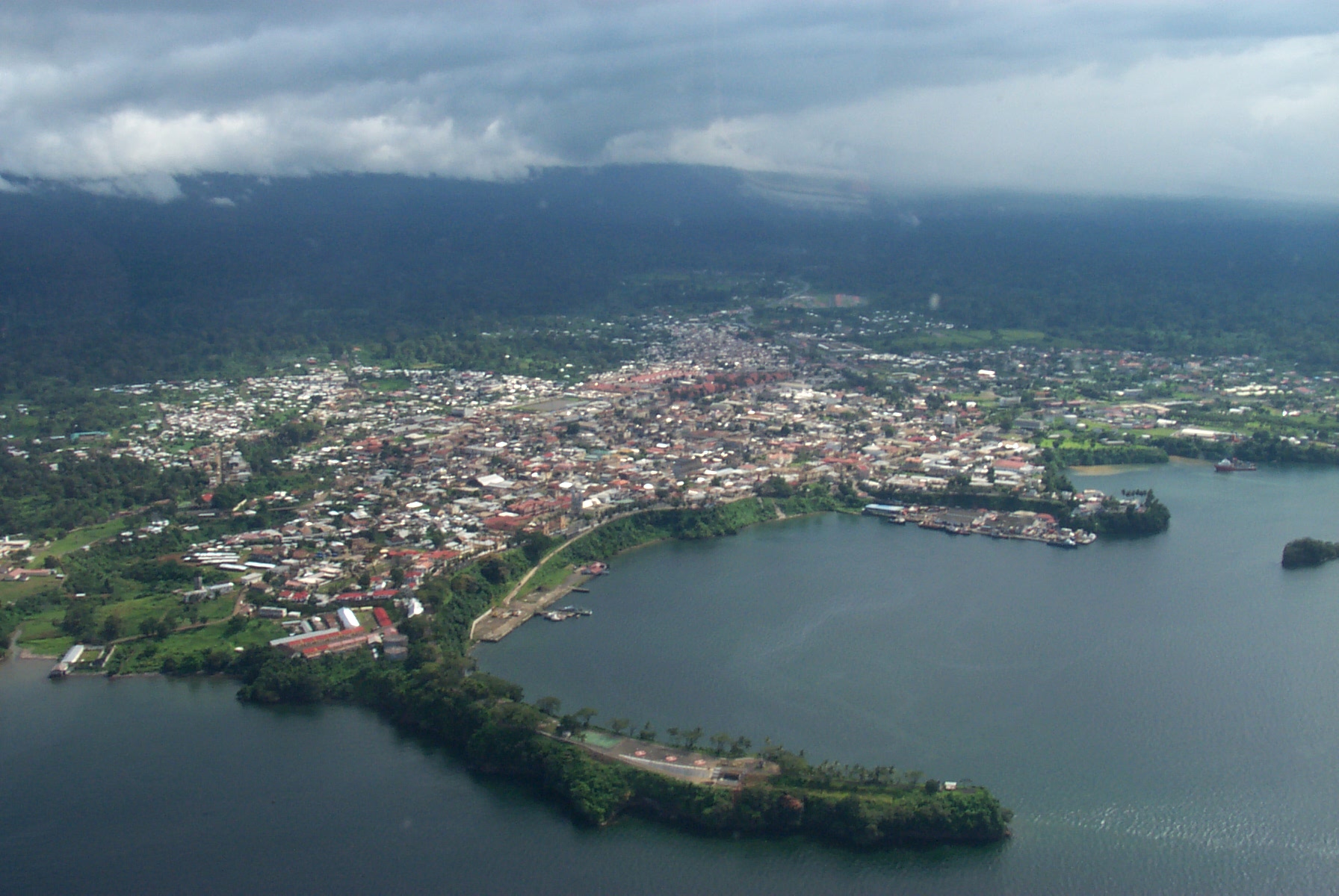
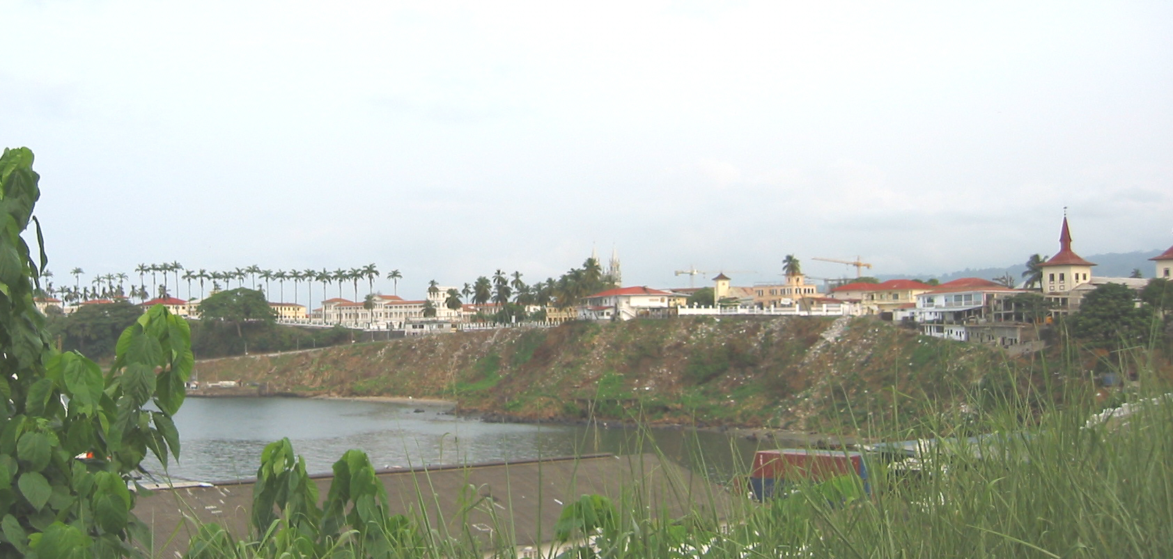
Despite its status as the capital of Equatorial Guinea for several decades, Malabo's street network remains poorly developed. Malabo itself has few paved roads leading into it, and fewer than one hundred paved and developed streets. Many of the street names reflect an African nationalist or anti-colonial theme, with names such as "Independence Avenue" or "Patrice Lumumba Road" being main roads. The few large roads not named for an African nationalist ideal or person are named for cities in Equatorial Guinea or other places or countries in Africa, as well as the road leading to the presidential palace. The palace and grounds consume a substantial part of the eastern side of Malabo, and are off-limits. The heart of the city is the colonial cathedral at Independence Place. Many buildings in the city from the Spanish colonial era are still standing.
The south of Malabo is bordered by the Rio Consul. Across this lies the hospital to the southeast. To the west is the recently renovated Malabo Airport. The coastal northern region of the city is pierced by headlands and bays. The largest headland is the crescent-shaped Tip of African Unity behind the presidential palace. Encompassing the entire eastern side of Malabo Bay, it is almost as long as Malabo is tall. Malabo is part of a wider bay that represents most of the northern coast of Bioko; it stretches from Europe Point in the west (home to the airport), to barren lands in the east.
Notable buildings in Malabo include Malabo Cathedral, Malabo Government Building and the Malabo Court Building. The city is served by Malabo International Airport, while ferries sail from its port to Douala and Bata. The city contains several notable hotels including Sofitel Malabo President Palace, Hotel Ureka, Hotel Bahia and Hotel Impala.
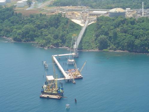
Discovery of oil
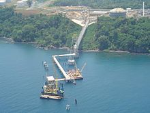 EG LNG from the air
Malabo has been significantly affected by Teodoro Obiang Nguema Mbasogo's growing co-operation with the oil industry. The country's production has reached 360,000 barrels per day (57,000 m3/d) as of 2004, an increase which led to a doubling of the city's population, but for the vast majority, very little of that wealth has been invested in development.[3]
Education
The Colegio Nacional Enrique Nvó Okenve has campuses here and in Bata.[4]
Transportation
Malabo International Airport serves Malabo. Several domestic and international carriers fly into Malabo.
Gallery
-
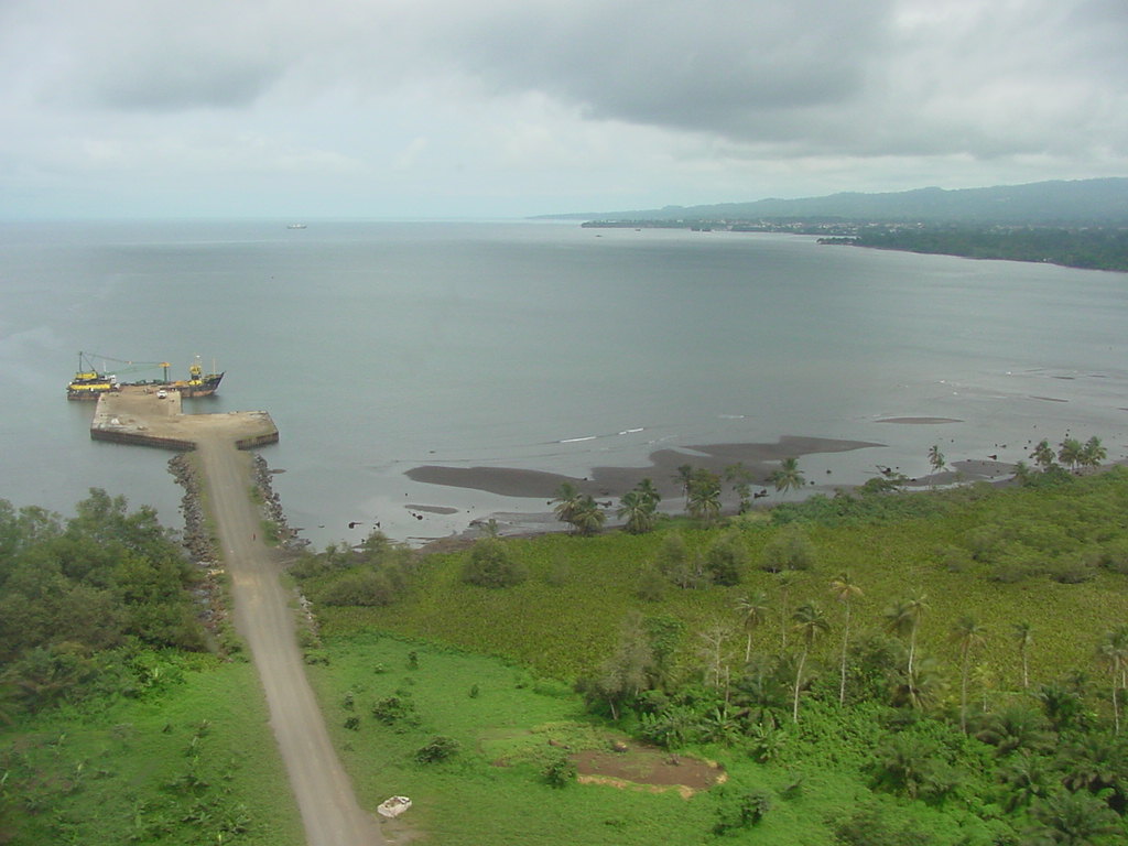
Island of Bioko
-
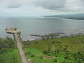
Coastline
-

Waterfront
References
- ^ Malabo at britannica.com
- ^ "Average Conditions Malabo, Equatorial Guinea". BBC Weather. http://www.bbc.co.uk/weather/world/city_guides/results.shtml?tt=TT000190. Retrieved August 18, 2009.
- ^ Cobb, Charles (16 December 2002). "Obiang Sure to Win As Opposition Quits Poll". AllAfrica. http://allafrica.com/stories/200212160112.html.
- ^ "TECHNICAL SUPPORT PROJECT FOR SOCIAL INVESTMENT AND CAPACITY BUILDING IN EQUATORIAL GUINEA", Design and Implementation Plan, Contract No. DFD-I-00-05-0020 TO #2, (September 2006 through August 2008).
External links
Coordinates: 3°45′N 8°47′E / 3.75°N 8.783°E
Capitals of Africa Abuja, Nigeria
Accra, Ghana
Addis Ababa, Ethiopia
Algiers, Algeria
Antananarivo, Madagascar
Asmara, Eritrea
Bamako, Mali
Bangui, Central African Republic
Banjul, Gambia
Bissau, Guinea-Bissau
Bloemfontein, South Africa 1
Brazzaville, Rep. of the Congo
Bujumbura, Burundi
Cairo, Egypt
Cape Town, South Africa 2
Conakry, GuineaPort Louis, Mauritius
Porto-Novo, Benin
Praia, Cape Verde
Pretoria, South Africa 3
Rabat, Morocco
Saint-Denis, Réunion
São Tomé, São Tomé and Príncipe
Tripoli, Libya
Tunis, Tunisia
Victoria, Seychelles
Windhoek, Namibia
Yaoundé, Cameroon
Yamoussoukro, Côte d'Ivoire1 Judicial. 2 Parliamentary. 3 Executive. 4 An unrecognised or partially-recognised state.Categories:- Malabo
- Bioko
- Bioko Norte Province
- Capitals in Africa
- Populated coastal places in Equatorial Guinea
- Populated places established in 1827
- Populated places in Equatorial Guinea
- Port cities in Africa
-


Wikimedia Foundation. 2010.