- Sun River
-
Sun River Medicine River, Pointed Rock River River 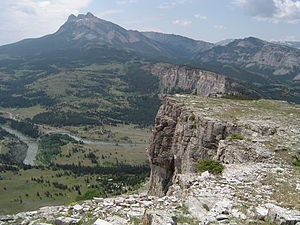
Country United States State Montana Part of Missouri River watershed Tributaries - left North Fork Sun River, Muddy Creek - right South Fork Sun River, Willow Creek Cities Fairfield, Sun River, Vaughn, Great Falls Primary source North Fork Sun River - location Confluence of Open Creek and McDonald Creek, Lewis and Clark County - elevation 5,781 ft (1,762 m) [1] - coordinates 47°54′43″N 112°58′23″W / 47.91194°N 112.97306°W [2] Secondary source South Fork Sun River - location Sun Lake, Lewis and Clark County - elevation 6,988 ft (2,130 m) [3] - coordinates 47°20′07″N 112°53′29″W / 47.33528°N 112.89139°W [4] Source confluence - location Near Gibson Reservoir, Lewis and Clark County - elevation 4,728 ft (1,441 m) [2] - coordinates 47°37′47″N 112°51′25″W / 47.62972°N 112.85694°W [5] Mouth Missouri River - location Great Falls, Cascade County - elevation 3,314 ft (1,010 m) [5] - coordinates 47°29′42″N 111°18′43″W / 47.495°N 111.31194°W [5] Length 130 mi (209 km) Basin 1,875 sq mi (4,856 km2) [6] Discharge for Vaughn - average 669 cu ft/s (19 m3/s) [7] - max 53,500 cu ft/s (1,515 m3/s) - min 20 cu ft/s (1 m3/s) <div style="position:absolute; left:Expression error: Unrecognised punctuation character "["px; top:Expression error: Unrecognised punctuation character "["px; padding:0;">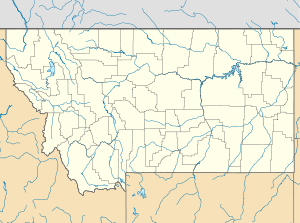
 Location of the mouth of the Sun River in Montana
The Sun River (also called the Medicine River) is a tributary of the Missouri River in the Great Plains, approximately 130 mi (209 km) long, in Montana in the United States.
It rises in the Rocky Mountains in two forks, the North Fork and South Fork, which join in the Flathead National Forest above Gibson Reservoir along the county line between Teton and Lewis and Clark counties. It flows E, SE, and E away from the mountains, past Simms, Sun River, and Vaughn and joins the Missouri at Great Falls.
The water of the river is used extensively for irrigation, through the Sun River Project of the United States Bureau of Reclamation. The irrigation area covers approximately 92,000 acres (372 km²).
The North Fork of the Sun River begins high up in the Bob Marshall Wilderness and flows generally Southward for about 20 miles (32 km) until it meets up with the South Fork of the Sun River. Almost immediately the two forks flow into Gibson Reservoir. From when the water leaves the reservoir until it meets the Missouri River in Great Falls, the flowage is known as the Sun River.
The Sun is a Class I river from Gibson Dam to its confluence with the Missouri River for public access for recreational purposes.[8]
See also
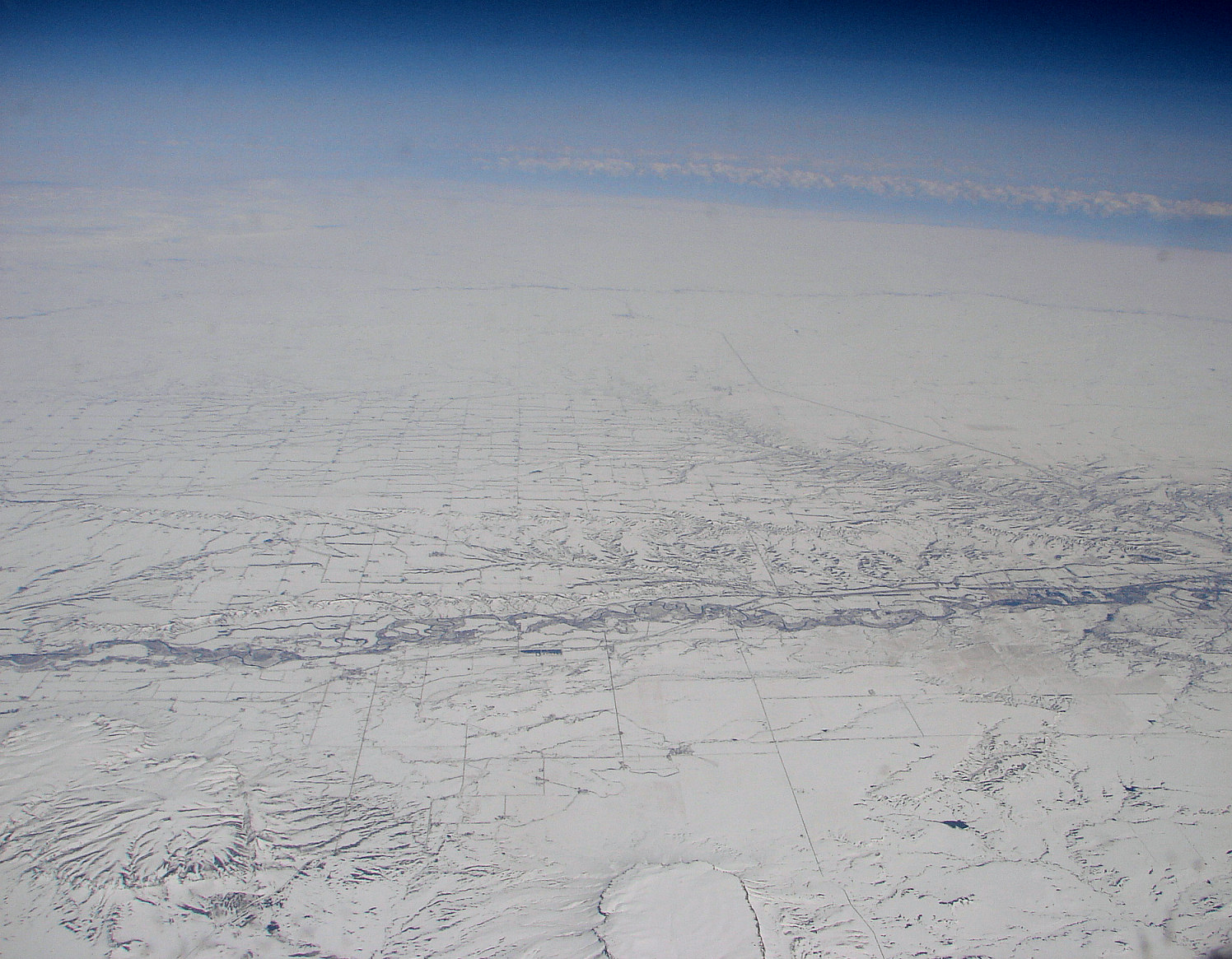
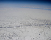 Aerial view of Sun River in Cascade County in early spring 2009
External links
Notes
- ^ http://geonames.usgs.gov/pls/gnispublic/f?p=gnispq:3:::NO::P3_FID:801259
- ^ a b U.S. Geological Survey Geographic Names Information System: Sun River
- ^ http://geonames.usgs.gov/pls/gnispublic/f?p=gnispq:3:::NO::P3_FID:801565
- ^ http://geonames.usgs.gov/pls/gnispublic/f?p=gnispq:3:::NO::P3_FID:801498
- ^ a b c U.S. Geological Survey Geographic Names Information System: Sun River
- ^ Derived from USGS statistics for drainage area above Vaughn, MT with about 36 square miles (93 km2) added to represent drainage below this station
- ^ "USGS Gage #06089000 on the Sun River near Vaughn, Montana: Water-Data Report 2009" (PDF). National Water Information System. U.S. Geological Survey. http://wdr.water.usgs.gov/wy2009/pdfs/06089000.2009.pdf. Retrieved 2010-09-30.
- ^ Stream Access in Montana
 State of Montana
Topics - Index
- History
- Governors
- People
- Geography
- State Government
- Delegations
- Visitor Attractions
Society - Crime
- Demographics
- Economy
- Education
- Politics
Regions - The Flathead
- Glacier National Park
- Regional designations of Montana
- Western Montana
- Yellowstone
Largest cities Counties - Beaverhead
- Big Horn
- Blaine
- Broadwater
- Carbon
- Carter
- Cascade
- Chouteau
- Custer
- Daniels
- Dawson
- Deer Lodge
- Fallon
- Fergus
- Flathead
- Gallatin
- Garfield
- Glacier
- Golden Valley
- Granite
- Hill
- Jefferson
- Judith Basin
- Lake
- Lewis and Clark
- Liberty
- Lincoln
- Madison
- McCone
- Meagher
- Mineral
- Missoula
- Musselshell
- Park
- Petroleum
- Phillips
- Pondera
- Powder River
- Powell
- Prairie
- Ravalli
- Richland
- Roosevelt
- Rosebud
- Sanders
- Sheridan
- Silver Bow
- Stillwater
- Sweet Grass
- Teton
- Toole
- Treasure
- Valley
- Wheatland
- Wibaux
- Yellowstone
Categories:- Rivers of Montana
- Tributaries of the Missouri River
- Landforms of Teton County, Montana
- Landforms of Cascade County, Montana
- Landforms of Lewis and Clark County, Montana

Wikimedia Foundation. 2010.