- Dehu Road
-
Dehu Road — city — Coordinates 18°41′02″N 73°43′54″E / 18.6838°N 73.7318°ECoordinates: 18°41′02″N 73°43′54″E / 18.6838°N 73.7318°E Country India State Maharashtra District(s) Pune Population 46,900 (2001[update]) Time zone IST (UTC+05:30) Codes-
• Pincode • 412101
Dehu Road is a cantonment town in Pune district in the state of Maharashtra, India, and lies 27 km northwest of Pune Station along the NH4 Old Pune-Mumbai Highway which connects it to Pune city proper.
Contents
Geography
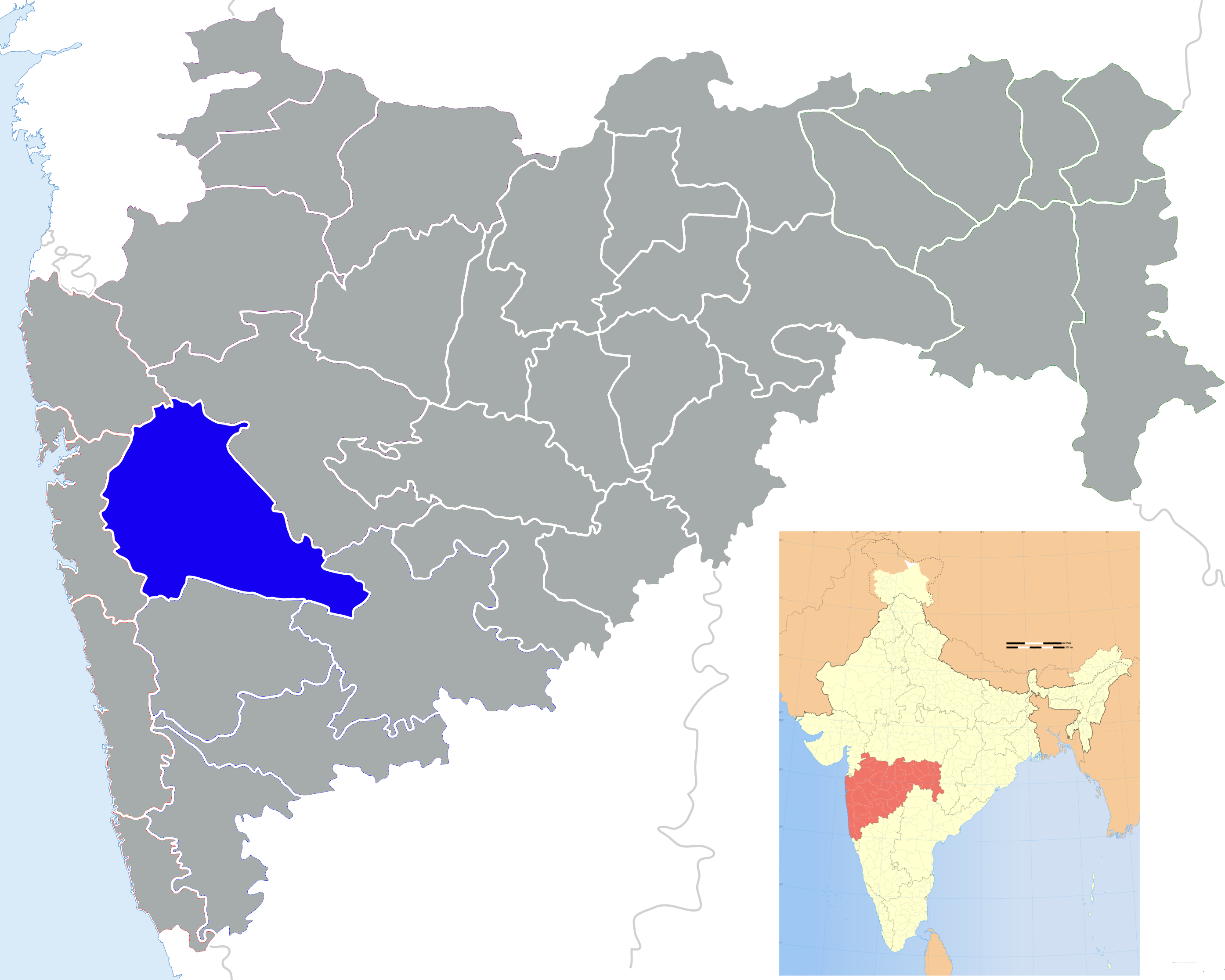
Dehu Road lies at an altitude of over 600 metres (2,000 ft), between two south-eastwardly flowing tributaries of the Bhima river, the Indrayani river to the north and the Pavana river to the south. Due to the elevation, the climate is pleasant.[1]
It is surrounded by small towns including Vikas Nagar, Mamurdi, Ravet, Adarsh Nagar, Chincholi, Indrani Darshan, Kiwale, Sai Nagar, Gahunje, Barlota Nagar, Dutt Nagar, Ashok Nagar, Alkapuri, Ordnance Factory Staff Quarters, KV School Quarters, Garden City, Gandhi Nagar, Mehta Park, Sarvata Nagar, Baapdev Nagar, Thomas Colony, Shitla Nagar, Uttam Nagar, Srinagar, Mountbatan(MB) Camp, Kinhai, Zendemala, Siddharth Nagar, Shelarwadi, etc. Recent development in the Vikas Nagar area has made it one of the densest and fastest developing areas of the town. A new township is under construction at Ravet.[2]
Economy
As Dehu Road is a cantonment town, offices of Central Government departments, especially Military and Defence, are located here.[3] Dehu Road is also very close to IT parks such as Pune Hinjawadi, Talawade as well as ICC Trade Tower, and is 8 km from the Talegaon industrial zone where major manufacturing industries including Volkswagen, General Motors, Mercedes-Benz, BMW, etc. are located.
Government and politics
The area is administered by the Dehu Road Cantonment (Dehu Road Bazaar, Indrayni Darshan, Thomas Colony, Shitla Nagar) and the Pimpri Chinchwad Municipal Corporation (Bapdev Nagar, Sai Nagar, Vikas Nagar, Kiwale, Mamurdi, Ravet).
Transport
The newly constructed Mumbai Pune Expressway ends at its junction with the Mumbai-Pune Bypass Road, close to the town of Dehu Road.
By road, Dehu Road is almost equidistant from Pune and Lonavala, and also from Chakan and Katraj.
Dehu Road can be reached from Pune by rail[4][5][6] or bus.
Dehu Road Railway Station is one of the oldest in the country [7][8] and was built to provide access to Dehu village and the Dehu Road cantonment. The station has 4 platforms and 6 lines with a connecting footbridge.
Demographics
As a cantonment town, the population in Dehu Road is very diverse with people from various states of India (mostly South Indian States) having settled here. At the 2001 Census of India,[9] Dehu Road had a population of 46,900. Males constituted 53% of the population and females 47%. Dehu Road had an average literacy rate of 74%, higher than the national average of 59.5%: male literacy was 80% and female literacy was 67%, and 12% of the population was under 6 years of age.
Culture
Some of the attractions around the town are Dehu Road Bazaar, Murugesh Temple, the Ayyappa temple on Sasta Hills and Maruti Mandir which was established by Saint/Sant Ramdas. There are 3 Masjid and one Idgha, of which Jama Masjid is the largest and oldest. There are also 3 churches, of which Church Mary is the oldest. There is one old Guruduware near the Market area.
Durga Tekdi (a hill viewpoint and picnic spot) is located 3 km to the southeast of Dehu Road, and the Appu Ghar amusement park is nearby.[10]
Education
Dehu Road has many schools with one of the oldest and most prominent English medium schools being St. Jude High School, earlier known as the Garrison High School. Kendriya Vidyalaya No 1, Dehu Road, one of the oldest KVs in India, is situated here. Shri Shivaji Vidayala, also the oldest Marathi (state-level language) Medium School. Samson Memorial Republic School(Eng Medium) is the oldest school in the region it was established in the year 1949 by Rev K.K.Samson, Republic school offers education to the weaker section of the society. These schools have students from 10–15 small towns in the vicinity of Dehu Road.
Sports
A new international-standard Cricket stadium is under construction at Dehu Road in Gahunje which will be ready to host first IPL matches in the near future.[11] The construction was recently inaugurated by BCCI and MCA.
References
- ^ See: Pune#Climate
- ^ :: Celestial City ::. Celestialcity.in. Retrieved on 2011-05-17.
- ^ Ordnance Factory Dehu Road
- ^ Up Side Local Trains / Railway Time Table Pune Station. Punediary.com (2003-09-24). Retrieved on 2011-05-17.
- ^ Down Side Local Trains / Railway Time Table Pune Station. Punediary.com (2003-09-24). Retrieved on 2011-05-17.
- ^ Rail Booking, now at Dehu Road. Punesite.com (2011-01-17). Retrieved on 2011-05-17.
- ^ Dehu Road Station. Cleartrip. Retrieved on 2011-05-17.
- ^ dehuroad station | Pune Google Satellite Map. Maplandia.com. Retrieved on 2011-05-17.
- ^ "Census of India 2001: Data from the 2001 Census, including cities, villages and towns (Provisional)". Census Commission of India. Archived from the original on 2004-06-16. http://web.archive.org/web/20040616075334/http://www.censusindia.net/results/town.php?stad=A&state5=999. Retrieved 2008-11-01.
- ^ PCMC Web Portal. Pcmcindia.in (2003-08-08). Retrieved on 2011-05-17.
- ^ Gahunje hopes for a real estate thrust with a cricket stadium. Express India (2011-01-12). Retrieved on 2011-05-17.
Pune city Suburbs Pimpri-Chinchwad Areas Pimpri and surroundingsChinchwad and SurroundingsChinchwad · Thergaon · Tathawade · Talawade · Sahu NagarSangvi and surroundingsBhosari and surroundingsNigdi - Akurdi and surroundingsCivic Pimpri-Chinchwad Municipal Corporation · Pune Metropolitan AreaTransport AirRailRoadPimpri-Chinchwad Bus Stand · Maharashtra State Road Transport CorporationInternalPune Mahanagar Parivahan Mahamandal Limited · Pimpri-Chinchwad Bus Rapid Transit System · Pune MetroGeography Hills and MountainsWater BodiesPavana RiverNeighboring Villages Military Sports PCMC Hockey StadiumCategories:- Cities and towns in Pune district
- Cantonments of India
- Pune district
- Pune
-


Wikimedia Foundation. 2010.